|
Tsomoriri Wetland Conservation Reserve
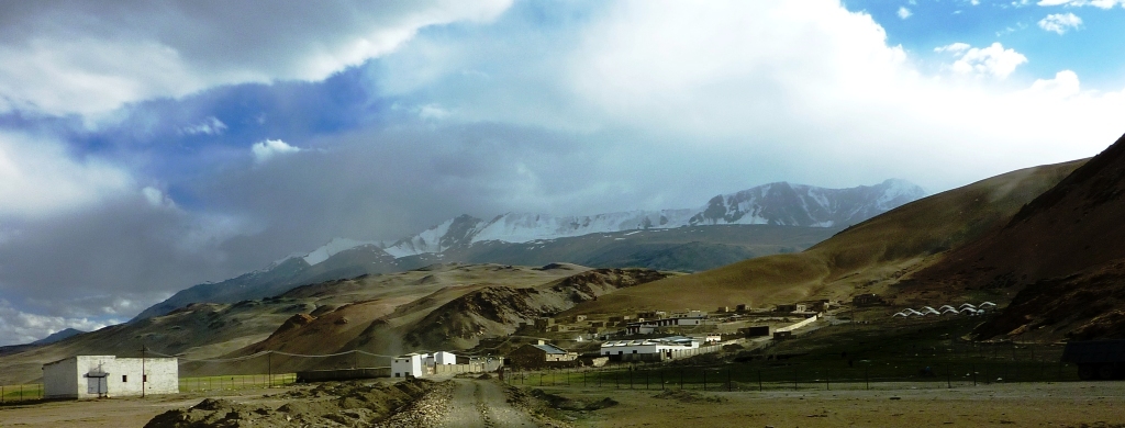
Tso Moriri or Lake Moriri () or "Mountain Lake", is a lake in the Changthang Plateau (literally: northern plains) of Ladakh in India. The lake and surrounding area are protected as the Tso Moriri Wetland Conservation Reserve. The lake is at an altitude of . It is the largest of the high altitude lakes entirely within India and entirely within Ladakh in this Trans-Himalayan biogeographic region. It is about 16 miles (26 km) north to south in length and two to three miles (3 to 5 km) wide. The lake has no outlet at present and the water is brackish though not very perceptible to taste. The lake is fed by springs and snow-melt from the adjacent mountains. Most water enters the lake in two major stream systems, one entering the lake from the north, the other from the southwest. Both stream systems include extensive marshes where they enter the lake. It formerly had an outlet to the south, but this has become blocked and the lake has become an endorheic lake. The lake i ... [...More Info...] [...Related Items...] OR: [Wikipedia] [Google] [Baidu] |
Ladakh
Ladakh () is a region administered by India as a union territory which constitutes a part of the larger Kashmir region and has been the subject of dispute between India, Pakistan, and China since 1947. (subscription required) Quote: "Jammu and Kashmir, state of India, located in the northern part of the Indian subcontinent in the vicinity of the Karakoram and westernmost Himalayan mountain ranges. From 1947 to 2019, Ladakh was part of the Indian state of Jammu and Kashmir, which has been the subject of dispute between India, Pakistan, and China since the partition of the subcontinent in 1947." Quote: "Jammu and Kashmir: Territory in northwestern India, subject to a dispute between India and Pakistan. It has borders with Pakistan and China." Ladakh is bordered by the Tibet Autonomous Region to the east, the Indian state of Himachal Pradesh to the south, both the Indian-administered union territory of Jammu and Kashmir and the Pakistan-administered Gilgit-Baltistan to the wes ... [...More Info...] [...Related Items...] OR: [Wikipedia] [Google] [Baidu] |
Uttarakhand
Uttarakhand ( , or ; , ), also known as Uttaranchal ( ; the official name until 2007), is a state in the northern part of India. It is often referred to as the "Devbhumi" (literally 'Land of the Gods') due to its religious significance and numerous Hindu temples and pilgrimage centres found throughout the state. Uttarakhand is known for the natural environment of the Himalayas, the Bhabar and the Terai regions. It borders the Tibet Autonomous Region of China to the north; the Sudurpashchim Province of Nepal to the east; the Indian states of Uttar Pradesh to the south and Himachal Pradesh to the west and north-west. The state is divided into two divisions, Garhwal and Kumaon, with a total of 13 districts. The winter capital of Uttarakhand is Dehradun, the largest city of the state, which is a rail head. Bhararisain, a town in Chamoli district, is the summer capital of Uttarakhand. The High Court of the state is located in Nainital. Archaeological evidence supports ... [...More Info...] [...Related Items...] OR: [Wikipedia] [Google] [Baidu] |
Sheep
Sheep or domestic sheep (''Ovis aries'') are domesticated, ruminant mammals typically kept as livestock. Although the term ''sheep'' can apply to other species in the genus '' Ovis'', in everyday usage it almost always refers to domesticated sheep. Like all ruminants, sheep are members of the order Artiodactyla, the even-toed ungulates. Numbering a little over one billion, domestic sheep are also the most numerous species of sheep. An adult female is referred to as a ''ewe'' (), an intact male as a ''ram'', occasionally a ''tup'', a castrated male as a ''wether'', and a young sheep as a ''lamb''. Sheep are most likely descended from the wild mouflon of Europe and Asia, with Iran being a geographic envelope of the domestication center. One of the earliest animals to be domesticated for agricultural purposes, sheep are raised for fleeces, meat (lamb, hogget or mutton) and milk. A sheep's wool is the most widely used animal fiber, and is usually harvested by shearing. In ... [...More Info...] [...Related Items...] OR: [Wikipedia] [Google] [Baidu] |
Shepherds
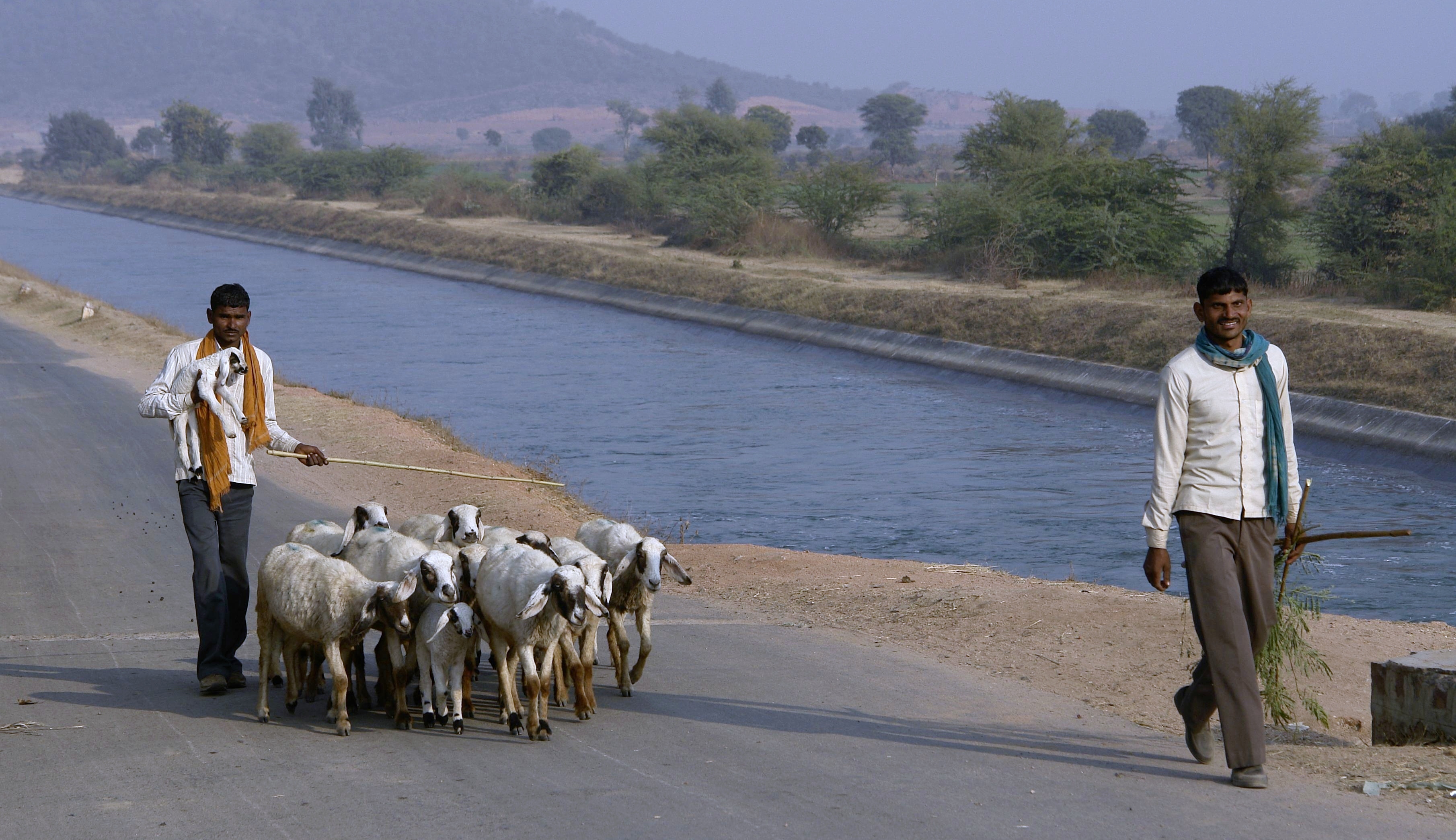
A shepherd or sheepherder is a person who tends, herds, feeds, or guards flocks of sheep. ''Shepherd'' derives from Old English ''sceaphierde (''sceap'' 'sheep' + ''hierde'' 'herder'). ''Shepherding is one of the world's oldest occupations, it exists in all parts of the globe, and it is an important part of pastoralist animal husbandry. Because of the ubiquity of the profession, many religions and cultures have symbolic or metaphorical references to the shepherd profession. For example, Jesus called himself the Good Shepherd, and ancient Greek mythologies highlighted shepherds such as Endymion and Daphnis. This symbolism and shepherds as characters are at the center of pastoral literature and art. Origins Shepherding is among the oldest occupations, beginning some 5,000 years ago in Asia Minor. Sheep were kept for their milk, meat and especially their wool. Over the next thousand years, sheep and shepherding spread throughout Eurasia. Henri Fleisch tentatively suggested ... [...More Info...] [...Related Items...] OR: [Wikipedia] [Google] [Baidu] |
Nomadic
A nomad is a member of a community without fixed habitation who regularly moves to and from the same areas. Such groups include hunter-gatherers, pastoral nomads (owning livestock), tinkers and trader nomads. In the twentieth century, the population of nomadic pastoral tribes slowly decreased, reaching an estimated 30–40 million nomads in the world . Nomadic hunting and gathering—following seasonally available wild plants and game—is by far the oldest human subsistence method. Pastoralists raise herds of domesticated livestock, driving or accompanying them in patterns that normally avoid depleting pastures beyond their ability to recover. Nomadism is also a lifestyle adapted to infertile regions such as steppe, tundra, or ice and sand, where mobility is the most efficient strategy for exploiting scarce resources. For example, many groups living in the tundra are reindeer herders and are semi-nomadic, following forage for their animals. Sometimes also described as "nom ... [...More Info...] [...Related Items...] OR: [Wikipedia] [Google] [Baidu] |
Changpa
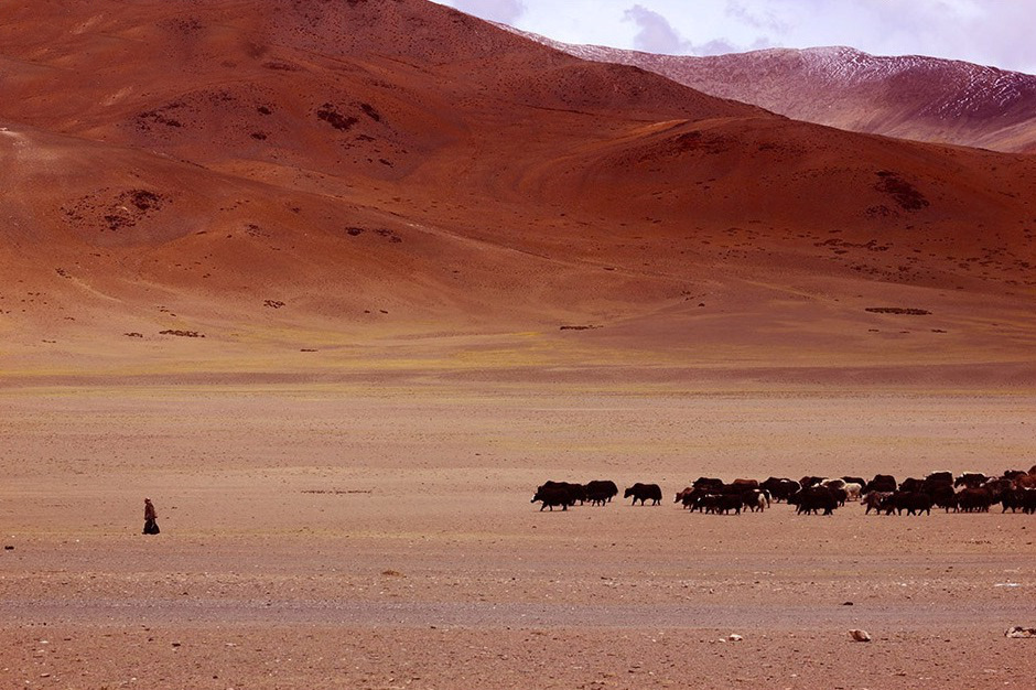
The Changpa or Champa (Changthang: ཆངཔ) are a semi-nomadic Tibetan people found mainly in the Changtang in Ladakh, India. A smaller number resides in the western regions of the Tibet Autonomous Region and were partially relocated for the establishment of the Changtang Nature Reserve and Baltistan region of Pakistan. As of 1989 there were half a million nomads living in the Changtang area. Changpa of the Tibet Autonomous Region The homeland of the Changpa is a high altitude plateau known as the Changtang, which forms a portion of western and northern Tibet extending into southeastern Ladakh, and ''Changpa'' means "northerners" in Tibetan. Unlike many other nomadic groups in Tibet, the Changpa are not under pressure from settled farmers as the vast majority of land they inhabit is too inhospitable for farming. Most of the Tibetan Changtang is now protected nature reserves consisting of the Changtang Nature Reserve, the second-largest nature reserve in the world, and f ... [...More Info...] [...Related Items...] OR: [Wikipedia] [Google] [Baidu] |
Rupshu
Rupshu is a high elevation plateau and valley and an eponymous community development block in southeast Ladakh. Description Frederic Drew describes the Rupshu valley as follows: Drew states that the valleys of Rupshu continue beyond the Tso Kar lake until the Tso Moriri lake (), and also extend to the east to cover the valley of Hanle (). At its narrowest definition, the Rupshu valley ranges from 20 km northwest of Tso Moriri to 50 km northwest. The elevation of that valley is between and . It is inhabited by the Changpa nomads and contains the Tso Kar salt lake. More widely, the term "Rupshu" is used for a wider area, ranging from the Manali-Leh Highway region to the west to east of Tso Moriri, incorporating some of the Ladakhi portion of the Changthang The Changtang (alternatively spelled Changthang or Qangtang) is a part of the high altitude Tibetan Plateau in western and northern Tibet extending into the southern edges of Xinjiang as well as southeastern Lad ... [...More Info...] [...Related Items...] OR: [Wikipedia] [Google] [Baidu] |
Tso Moriri, Ladakh
Tso may refer to: * Tso language, a Savanna language of eastern Nigeria * Tso or Ts'o, several Chinese surnames (e.g., Cao) in dialect or Wade–Giles romanization, which may refer to: ** Zuo Zongtang or General Tso (左宗棠) ** Theodore Ts'o Theodore (Ted) Yue Tak Ts'o (曹子德) (born 1968) is an American software engineer mainly known for his contributions to the Linux kernel, in particular his contributions to file systems. He is the Secondary developer and maintainer of e2f ..., a software developer mainly known for his contributions to the Linux kernel See also * TSO (other) {{disambiguation ... [...More Info...] [...Related Items...] OR: [Wikipedia] [Google] [Baidu] |
Tso Kiagar Lake Ladakh
Tso may refer to: * Tso language, a Savanna language of eastern Nigeria * Tso or Ts'o, several Chinese surnames (e.g., Cao) in dialect or Wade–Giles romanization, which may refer to: ** Zuo Zongtang or General Tso (左宗棠) ** Theodore Ts'o Theodore (Ted) Yue Tak Ts'o (曹子德) (born 1968) is an American software engineer mainly known for his contributions to the Linux kernel, in particular his contributions to file systems. He is the Secondary developer and maintainer of e2f ..., a software developer mainly known for his contributions to the Linux kernel See also * TSO (other) {{disambiguation ... [...More Info...] [...Related Items...] OR: [Wikipedia] [Google] [Baidu] |
Closed Drainage
An endorheic basin (; also spelled endoreic basin or endorreic basin) is a drainage basin that normally retains water and allows no outflow to other external bodies of water, such as rivers or oceans, but drainage converges instead into lakes or swamps, permanent or seasonal, that equilibrate through evaporation. They are also called closed or terminal basins, internal drainage systems, or simply basins. Endorheic regions contrast with exorheic regions. Endorheic water bodies include some of the largest lakes in the world, such as the Caspian Sea, the world's largest inland body of water. Basins with subsurface outflows which eventually lead to the ocean are generally not considered endorheic; they are cryptorheic. Endorheic basins constitute local base levels, defining a limit of erosion and deposition processes of nearby areas. Etymology The term was borrowed from French ''endor(rh)éisme'', coined from the combining form ''endo-'' (from grc, ἔνδον ''éndon'' 'withi ... [...More Info...] [...Related Items...] OR: [Wikipedia] [Google] [Baidu] |
Tibetan Plateau
The Tibetan Plateau (, also known as the Qinghai–Tibet Plateau or the Qing–Zang Plateau () or as the Himalayan Plateau in India, is a vast elevated plateau located at the intersection of Central, South and East Asia covering most of the Tibet Autonomous Region, most of Qinghai, western half of Sichuan, Southern Gansu provinces in Western China, southern Xinjiang, Bhutan, the Indian regions of Ladakh and Lahaul and Spiti (Himachal Pradesh) as well as Gilgit-Baltistan in Pakistan, northwestern Nepal, eastern Tajikistan and southern Kyrgyzstan. It stretches approximately north to south and east to west. It is the world's highest and largest plateau above sea level, with an area of (about five times the size of Metropolitan France). With an average elevation exceeding and being surrounded by imposing mountain ranges that harbor the world's two highest summits, Mount Everest and K2, the Tibetan Plateau is often referred to as "the Roof of the World". The Tibetan Pla ... [...More Info...] [...Related Items...] OR: [Wikipedia] [Google] [Baidu] |
Garhwal Division
Garhwal (IPA: /ɡəɽʋːɔɭ/) is one of the two administrative divisions of the Indian state of Uttarakhand. Lying in the Himalayas, it is bounded on the north by Tibet, on the east by Kumaon, on the south by Uttar Pradesh state, and on the northwest by Himachal Pradesh state. It includes the districts of Chamoli, Dehradun, Haridwar, Pauri Garhwal, Rudraprayag, Tehri Garhwal, and Uttarkashi. The people of Garhwal are known as Garhwali and speak the Garhwali language. The administrative center for Garhwal division is the town of Pauri. The Divisional Commissioner is the administrative head of the Division, and is a senior Indian Administrative Service officer. As the administrative head of the division, the Commissioner is overall incharge of the 7 districts in the Garhwal region of Uttarakhand, and is aided in his duties by an additional commissioner and the district magistrates. Sushil Kumar is the divisional commissioner of the Garhwal Division since December 2021. H ... [...More Info...] [...Related Items...] OR: [Wikipedia] [Google] [Baidu] |


