|
Tiny Glacier
Tiny Glacier is in the Wind River Range, Bridger-Teton National Forest, in the U.S. state of Wyoming. The glacier is situated in a north-facing cirque immediately west of the Continental Divide A continental divide is a drainage divide on a continent such that the drainage basin on one side of the divide feeds into one ocean or sea, and the basin on the other side either feeds into a different ocean or sea, or else is endorheic, not .... See also * List of glaciers in the United States References Glaciers of Sublette County, Wyoming Glaciers of Wyoming {{US-glacier-stub ... [...More Info...] [...Related Items...] OR: [Wikipedia] [Google] [Baidu] |
Sublette County, Wyoming
Sublette County is a county in the U.S. state of Wyoming. As of the 2020 United States Census, the population was 8,728. The county seat is Pinedale. It is a sparsely populated rural county in western Wyoming, along the Green River. History Sublette County was created February 15, 1921, of land partitioned from Fremont and Lincoln counties. Its governing organization was completed by 1923. Before settlement, the western Wyoming mountains were traversed and harvested by fur trappers and traders. Sublette County is named for one of those early characters, William Lewis Sublette. Today the county celebrates its fur trade heritage with the Museum of the Mountain Man in Pinedale. In the early 1900s the majority of the population in what is today Sublette County were first generation immigrants from England and Germany. A majority of the population in Sublette County supported America's entry into World War I and at the time the county was known for its "pro-British" sentiment ... [...More Info...] [...Related Items...] OR: [Wikipedia] [Google] [Baidu] |
United States
The United States of America (U.S.A. or USA), commonly known as the United States (U.S. or US) or America, is a country primarily located in North America. It consists of 50 U.S. state, states, a Washington, D.C., federal district, five major unincorporated territories, nine United States Minor Outlying Islands, Minor Outlying Islands, and 326 Indian reservations. The United States is also in Compact of Free Association, free association with three Oceania, Pacific Island Sovereign state, sovereign states: the Federated States of Micronesia, the Marshall Islands, and the Palau, Republic of Palau. It is the world's List of countries and dependencies by area, third-largest country by both land and total area. It shares land borders Canada–United States border, with Canada to its north and Mexico–United States border, with Mexico to its south and has maritime borders with the Bahamas, Cuba, Russia, and other nations. With a population of over 333 million, it is the List of ... [...More Info...] [...Related Items...] OR: [Wikipedia] [Google] [Baidu] |
Wind River Range
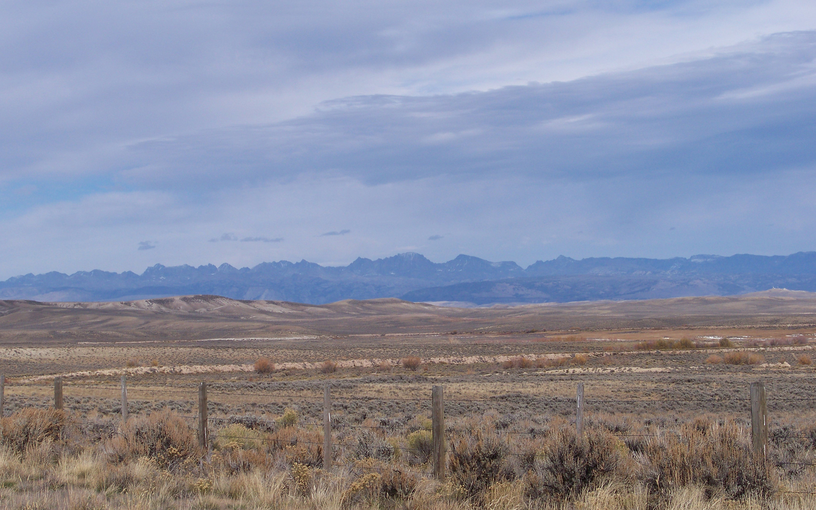
The Wind River Range (or "Winds" for short) is a mountain range of the Rocky Mountains in western Wyoming in the United States. The range runs roughly NW–SE for approximately . The Continental Divide follows the crest of the range and includes Gannett Peak, which at , is the highest peak in Wyoming; and also Fremont Peak at , the third highest peak in Wyoming. There are more than 40 other named peaks in excess of . With the exception of the Grand Teton in the Teton Range, the next 19 highest peaks in Wyoming after Gannett are also in the Winds. Two large national forests including three wilderness areas encompass most of the mountain range. Shoshone National Forest is on the eastern side of the continental divide while Bridger-Teton National Forest is on the west. Both national forests and the entire mountain range are an integral part of the Greater Yellowstone Ecosystem. Portions of the east side of the range are inside the Wind River Indian Reservation. History Indige ... [...More Info...] [...Related Items...] OR: [Wikipedia] [Google] [Baidu] |
Wyoming
Wyoming () is a state in the Mountain West subregion of the Western United States. It is bordered by Montana to the north and northwest, South Dakota and Nebraska to the east, Idaho to the west, Utah to the southwest, and Colorado to the south. With a population of 576,851 in the 2020 United States census, Wyoming is the least populous state despite being the 10th largest by area, with the second-lowest population density after Alaska. The state capital and most populous city is Cheyenne, which had an estimated population of 63,957 in 2018. Wyoming's western half is covered mostly by the ranges and rangelands of the Rocky Mountains, while the eastern half of the state is high-elevation prairie called the High Plains. It is drier and windier than the rest of the country, being split between semi-arid and continental climates with greater temperature extremes. Almost half of the land in Wyoming is owned by the federal government, generally protected for public uses. The stat ... [...More Info...] [...Related Items...] OR: [Wikipedia] [Google] [Baidu] |
Cirque
A (; from the Latin word ') is an amphitheatre-like valley formed by glacial erosion. Alternative names for this landform are corrie (from Scottish Gaelic , meaning a pot or cauldron) and (; ). A cirque may also be a similarly shaped landform arising from fluvial erosion. The concave shape of a glacial cirque is open on the downhill side, while the cupped section is generally steep. Cliff-like slopes, down which ice and glaciated debris combine and converge, form the three or more higher sides. The floor of the cirque ends up bowl-shaped, as it is the complex convergence zone of combining ice flows from multiple directions and their accompanying rock burdens. Hence, it experiences somewhat greater erosion forces and is most often overdeepened below the level of the cirque's low-side outlet (stage) and its down-slope (backstage) valley. If the cirque is subject to seasonal melting, the floor of the cirque most often forms a tarn (small lake) behind a dam, which marks the ... [...More Info...] [...Related Items...] OR: [Wikipedia] [Google] [Baidu] |
Continental Divide Of The Americas
The Continental Divide of the Americas (also known as the Great Divide, the Western Divide or simply the Continental Divide; ) is the principal, and largely mountainous, hydrological divide of the Americas. The Continental Divide extends from the Bering Strait to the Strait of Magellan, and separates the watersheds that drain into the Pacific Ocean from those river systems that drain into the Atlantic and (in northern North America) Arctic oceans (including those that drain into the Gulf of Mexico, the Caribbean Sea and Hudson Bay). Although there are many other hydrological divides in the Americas, the Continental Divide is by far the most prominent of these because it tends to follow a line of high peaks along the main ranges of the Rocky Mountains and Andes, at a generally much higher elevation than the other hydrological divisions. Geography Beginning at the westernmost point of the Americas’ mainland ( Cape Prince of Wales, just south of the Arctic Circle), the Conti ... [...More Info...] [...Related Items...] OR: [Wikipedia] [Google] [Baidu] |
List Of Glaciers In The United States
This is a list of glaciers existing in the United States, currently or in recent centuries. These glaciers are located in nine states, all in the Rocky Mountains or farther west. The southernmost named glacier among them is the Lilliput Glacier in Tulare County, east of the Central Valley of California. Glaciers of Alaska There are approximately 664 named glaciers in Alaska according to the Geographic Names Information System (GNIS). * Agassiz Glacier - Saint Elias Mountains *Aialik Glacier - Kenai Peninsula *Alsek Glacier - Glacier Bay * Aurora Glacier - Glacier Bay * Bacon Glacier *Barnard Glacier * Bear Glacier - Aialik Peninsula, Resurrection Bay * Bering Glacier *Black Rapids * Brady Glacier * Brooks Glacier - Alaska Range * Buckskin Glacier - Alaska Range *Burns Glacier (Alaska) - Kenai Mountains *Byron Glacier - Kenai Mountains *Caldwell Glacier - Alaska Range * Cantwell Glacier - Alaska Range * Carroll Glacier - Glacier Bay * Casement Glacier - Glacier Bay * C ... [...More Info...] [...Related Items...] OR: [Wikipedia] [Google] [Baidu] |
Glaciers Of Sublette County, Wyoming
A glacier (; ) is a persistent body of dense ice that is constantly moving under its own weight. A glacier forms where the accumulation of snow exceeds its ablation over many years, often centuries. It acquires distinguishing features, such as crevasses and seracs, as it slowly flows and deforms under stresses induced by its weight. As it moves, it abrades rock and debris from its substrate to create landforms such as cirques, moraines, or fjords. Although a glacier may flow into a body of water, it forms only on land and is distinct from the much thinner sea ice and lake ice that form on the surface of bodies of water. On Earth, 99% of glacial ice is contained within vast ice sheets (also known as "continental glaciers") in the polar regions, but glaciers may be found in mountain ranges on every continent other than the Australian mainland, including Oceania's high-latitude oceanic island countries such as New Zealand. Between latitudes 35°N and 35°S, glaciers occur only in ... [...More Info...] [...Related Items...] OR: [Wikipedia] [Google] [Baidu] |


