|
Thorar
Thorar is a town in Poonch District in Azad Kashmir. It is located about 20 miles from Rawalakot city, the capital of Poonch district. Location Thorar is a Tehsil of District Poonch (Rawalakot), Azad Kashmir, and is connected to Rawalakot and Muzaffarabad by main roads. Its suburbs are Tain, Mang, Jassapeer, Bhalgran, Nar, Bosa Gala and Androt, Kheruta, Siranagala. The literacy rate in Thorar is over 75%. It is about from Kohala, Thorar is also linked to Rawalpindi, Islamabad (via the neighbouring areas of Azad Pattan and Dhalkot), and to Muzaffarabad Muzaffarabad (; ur, ) is the capital and largest city of Azad Kashmir, and the 60th largest in Pakistan. The city is located in Muzaffarabad District, near the confluence of the Jhelum and Neelum rivers. The district is bounded by the Pak ... via Kohalla. There is one Govt. Boys Degree College, Govt. Girls College and some private colleges and schools for boys and girls some of which are Ghzaia-e- Millat public ... [...More Info...] [...Related Items...] OR: [Wikipedia] [Google] [Baidu] |
Bhalgran
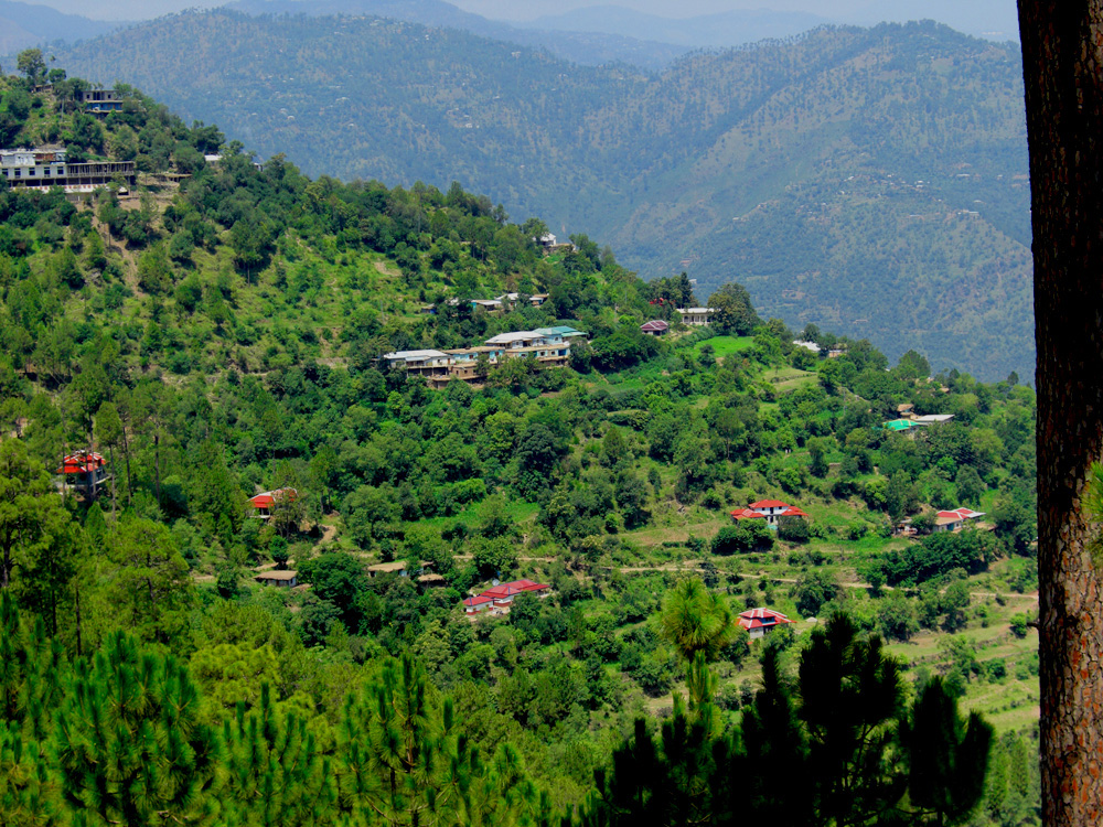
Bhalgran is a village in Poonch District in Azad Kashmir. Location Bhalgran is located an hours drive from the capital of Poonch district, the city of Rawalakot. Village of Thorar is in the east of Bhalgran, while the Jhelum River is located in the west of Bhalgran. It is a beautiful region of this part of Jammu & Kashmir, its sub-parts contain the villages of Sardi, Lway, Dubyern, Rarotha, Chetti Trar, Numb Dumbnota and Hill Koliary. It is located from Kohala. Bhalgran is connected with Rawalpindi and Islamabad via the neighbouring districts of Azad Pattan and Dhalkot, and with Muzaffarabad through Kohalla. Majority of the population in Bhalgran belong to the Sudhun Tribe. Literacy Literacy rate of Bhalgran is 85% Sports People of this region mostly play volleyball, cricket and Tash(Cards). Shopping The town has few good bazaars where all essential commodities of life are easily available. Occupation There is a large diaspora of people from Bhalgran i ... [...More Info...] [...Related Items...] OR: [Wikipedia] [Google] [Baidu] |
Poonch District, Pakistan
The Poonch District ( ur, ) is one of the 10 districts of Pakistan's dependent territory of Azad Kashmir. The Poonch District is bounded on the north by the Bagh District, on the north-east by the Haveli District, on the south-east by the Poonch District of Indian-administered Jammu and Kashmir, on the south by the Sudhanoti District and the Kotli District, and on the west by the Rawalpindi District of Pakistan's Punjab Province. The Poonch District is part of the greater Kashmir dispute between India and Pakistan. The district headquarters is the city of Rawalakot. It is the 3rd most populus district of Azad Kashmir. The main language is Pahari ("Punchi"), native to an estimated 95% of the population, but there are also speakers of Gujari, while Urdu has official status. History 17th Century to 1946 From the end of seventeenth century up to 1837 CE, Poonch was ruled by the Muslim rajas of Loran in Haveli Tehsil. It then fell into the hands of Raja Faiztalab of the Pu ... [...More Info...] [...Related Items...] OR: [Wikipedia] [Google] [Baidu] |
List Of Sovereign States
The following is a list providing an overview of sovereign states around the world with information on their status and recognition of their sovereignty. The 206 listed states can be divided into three categories based on membership within the United Nations System: 193 UN member states, 2 UN General Assembly non-member observer states, and 11 other states. The ''sovereignty dispute'' column indicates states having undisputed sovereignty (188 states, of which there are 187 UN member states and 1 UN General Assembly non-member observer state), states having disputed sovereignty (16 states, of which there are 6 UN member states, 1 UN General Assembly non-member observer state, and 9 de facto states), and states having a special political status (2 states, both in free association with New Zealand). Compiling a list such as this can be a complicated and controversial process, as there is no definition that is binding on all the members of the community of nations concerni ... [...More Info...] [...Related Items...] OR: [Wikipedia] [Google] [Baidu] |
Nar A
Nar or NAR may refer to: Music * ''Nar'' (album) by Sahrawi musician Nayim Alal * ''Nar'', album by Mercan Dede * New Alliance Records, an American punk, spoken word, music-label, active from 1980 to 1998 * , an Italian record label founded in 1980 Places Asia * Nar, Nepal, a village development committee in Manang District in the Gandaki Zone of northern Nepal * Nar Jaffar Khan, a town and union council in Bannu District of Khyber-Pakhtunkhwa, Pakistan * Nar Township, Samzhubzê District, Tibet * Nar, Jammu and Kashmir, a small village in Kotli district, Pakistan-controlled Azad Kashmir Europe * När, a village on Gotland, Sweden * River Nar, a river in the United Kingdom, and a tributary of the River Great Ouse * Nar, North Ossetia–Alania, a village in North Ossetia–Alania, Russia Political organisations * National Alliance for Reconstruction, a political party in Trinidad and Tobago * New Left Current ( el, script=Latn, link=no, Neo Aristero Revma), Greek communist o ... [...More Info...] [...Related Items...] OR: [Wikipedia] [Google] [Baidu] |
Tain A
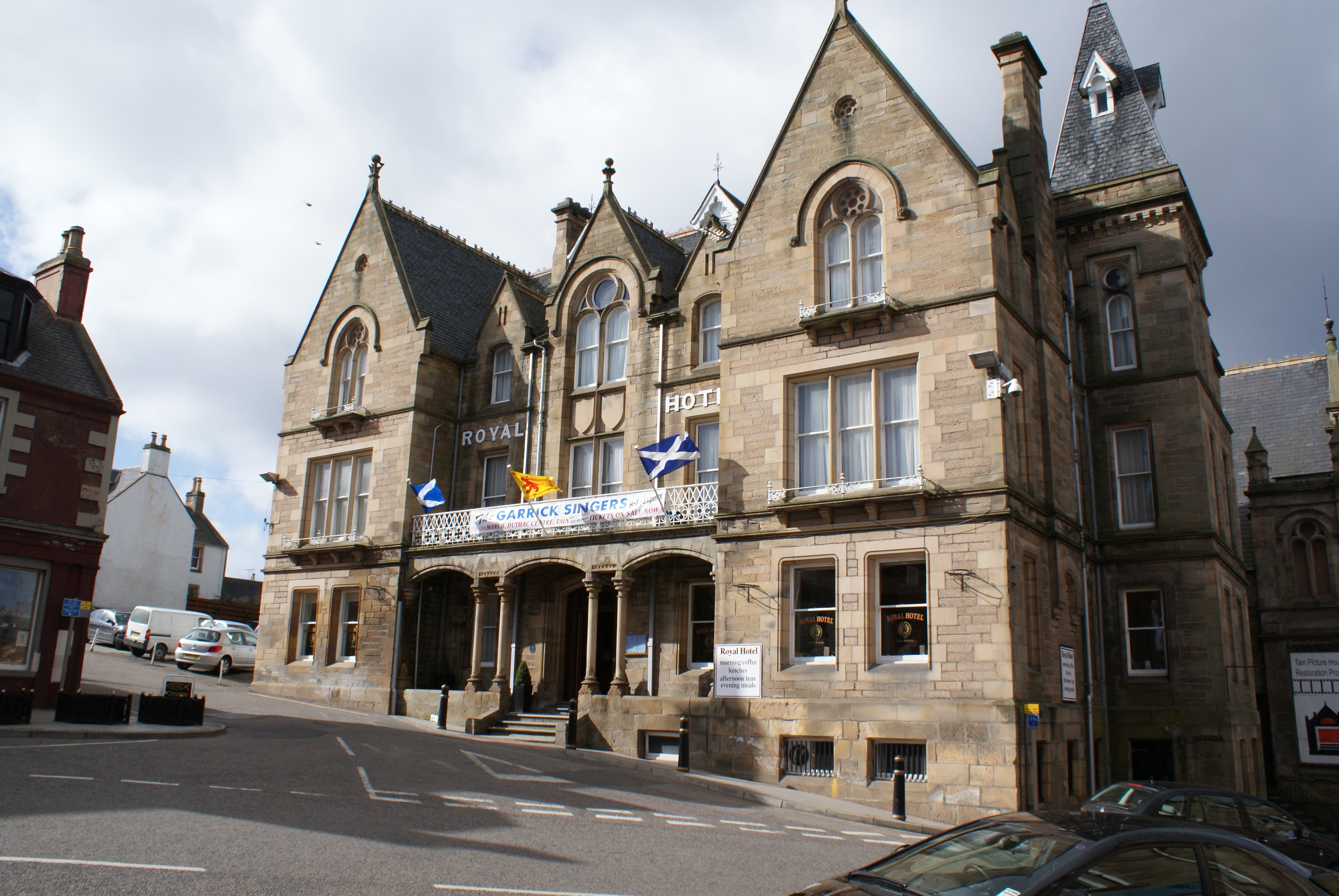
Tain ( Gaelic: ''Baile Dhubhthaich'') is a royal burgh and parish in the County of Ross, in the Highlands of Scotland. Etymology The name derives from the nearby River Tain, the name of which comes from an Indo-European root meaning 'flow'. The Gaelic name, ''Baile Dubhthaich'', means 'Duthac's town', after a local saint also known as Duthus. History Tain was granted its first royal charter in 1066, making it Scotland's oldest royal burgh, commemorated in 1966 with the opening of the Rose Garden by Queen Elizabeth, the Queen Mother. The 1066 charter, granted by King Malcolm III, confirmed Tain as a sanctuary, where people could claim the protection of the church, and an immunity, in which resident merchants and traders were exempt from certain taxes. Little is known of earlier history although the town owed much of its importance to Duthac. He was an early Christian figure, perhaps 8th or 9th century, whose shrine had become so important by 1066 that it resulted in the royal ch ... [...More Info...] [...Related Items...] OR: [Wikipedia] [Google] [Baidu] |
Sardi Laway Bhalgran View
The South Australian Research and Development Institute (SARDI) is the principal research institute of the Government of South Australia, with a network of research centres, laboratories and field sites both in metropolitan Adelaide and throughout South Australia. SARDI is part of Primary Industries and Regions SA. Head Office The SARDI Head Office is located in the Waite Research Precinct, along with CSIRO, the University of Adelaide's Waite Campus, and others, in the Adelaide suburb of Urrbrae, South Australia. Metropolitan sites Plant Research Centre The Plant Research Centre is located in the Waite Research Precinct, along with CSIRO,CSIRO Waite Campus www.csiro.au the |
Muzaffarabad
Muzaffarabad (; ur, ) is the capital and largest city of Azad Kashmir, and the 60th largest in Pakistan. The city is located in Muzaffarabad District, near the confluence of the Jhelum and Neelum rivers. The district is bounded by the Pakistani province of Khyber Pakhtunkhwa in the west, the Kupwara and Baramulla districts of Indian-administered Jammu and Kashmir in the east, and the Neelum District in the north. History Muzaffarabad was founded in 1646 by Sultan Muzaffar Khan, chief of the Bomba tribe who ruled Kashmir. Khan also constructed the Red Fort that same year for the purpose of warding off incursions from the Mughal Empire. 2005 earthquake The city was near the epicenter of the 2005 Kashmir earthquake, which had a magnitude of 7.6 Mw. The earthquake destroyed about 50% of the buildings in the city (including most government buildings) and is estimated to have killed up to 80,000 people in the Pakistani-controlled areas. , the Pakistani government's offi ... [...More Info...] [...Related Items...] OR: [Wikipedia] [Google] [Baidu] |
Islamabad
Islamabad (; ur, , ) is the capital city of Pakistan. It is the country's ninth-most populous city, with a population of over 1.2 million people, and is federally administered by the Pakistani government as part of the Islamabad Capital Territory. Built as a planned city in the 1960s, it replaced Rawalpindi as Pakistan's national capital. The city is notable for its high standards of living, safety, cleanliness, and abundant greenery. Greek architect Constantinos Apostolou Doxiadis developed Islamabad's master plan, in which he divided it into eight zones; administrative, diplomatic enclave, residential areas, educational and industrial sectors, commercial areas, as well as rural and green areas administered by the Islamabad Metropolitan Corporation with support from the Capital Development Authority. Islamabad is known for the presence of several parks and forests, including the Margalla Hills National Park and the Shakarparian. It is home to several landmarks, includin ... [...More Info...] [...Related Items...] OR: [Wikipedia] [Google] [Baidu] |
Rawalpindi
Rawalpindi ( or ; Urdu, ) is a city in the Punjab province of Pakistan. It is the fourth largest city in Pakistan after Karachi, Lahore and Faisalabad, and third largest in Punjab after Lahore and Faisalabad. Rawalpindi is next to Pakistan's capital Islamabad, and the two are jointly known as the "twin cities" because of the social and economic links between them. Rawalpindi is on the Pothohar Plateau, known for its ancient Hindu and Buddhist heritage, especially in the neighbouring town of Taxila, a UNESCO World Heritage Site. In 1765, the ruling Gakhars were defeated and the city came under Sikh rule, becoming an important city within the Sikh Empire based at Lahore. The city's ''Babu Mohallah'' neighbourhood was once home to a community of Jewish traders that had fled Mashhad, Persia, in the 1830s. The city was conquered by the British Raj in 1849, and in the late 19th century became the largest garrison town of the British Indian Army's Northern command as its climate ... [...More Info...] [...Related Items...] OR: [Wikipedia] [Google] [Baidu] |
Kohala, Pakistan
Kohala ( ur, ) is a town in Pakistan on the River Jhelum, north of Murree, south of Muzaffarabad, and east of Bagh. The town was at the independence of Pakistan in 1947 a border town between newly created Pakistan and the princely state of Jammu and Kashmir, but is today only the border between the rest of Pakistan and Azad Kashmir. Location Kohala is the site of the well-known Kohala Bridge across the Jhelum. Kohala is a gateway to the Muzaffarabad and Bagh districts of Azad Kashmir. It lies where the Punjab, Kashmir and Khyber Pakhtunkhwa boundaries meet.Lonely Planet Pakistan and the Karakoram Highway - 1741045428 Lindsay Brown, Paul Clammer, Rodney Cocks - 2008 Page 183 "Entry to Muzaffarabad district is from Mansehra (crossing at Gahri Habibullah) or Murree (crossing at Kohala)." Etymology There are two theories regarding the etymology of Kohala. One is that it originates from the name of a Hindu goddess Kohala Devi because Kohala was a place where Hindu deities were wor ... [...More Info...] [...Related Items...] OR: [Wikipedia] [Google] [Baidu] |
Rawalakot
Rawalakot ( ur, ) is the capital of Poonch district in Azad Kashmir, Pakistan. It is located in the Pir Panjal Range. History Along with Pallandri, Rawalakot was the focal point of the 1955 Poonch uprising. It was led by the local Sudhans who disapproved of Sher Ahmed Khan and wanted Sardar Ibrahim Khan, as well as democratic reforms. 2005 Kashmir earthquake On Saturday, 8 October 2005 a 7.6 magnitude earthquake killed 73,338 people and left up to three million homeless in Pakistan, including Azad Kashmir. The city of Rawalakot, the capital of the Poonch, suffered significant damage from the 2005 Kashmir earthquake; although most of the buildings were left standing, many of them were rendered uninhabitable, and some of the population was left homeless. Most of the buildings have been reconstructed. Location Rawalakot is located at Latitude 33°51'32.18"N, Longitude 73° 45'34.93"E and an Elevation of 5374 feet. Rawalakot is approximately from Kahuta and about from th ... [...More Info...] [...Related Items...] OR: [Wikipedia] [Google] [Baidu] |


