|
Territory Of Oregon
The Territory of Oregon was an organized incorporated territory of the United States that existed from August 14, 1848, until February 14, 1859, when the southwestern portion of the territory was admitted to the Union as the State of Oregon. Originally claimed by several countries (see Oregon Country), the region was divided between the UK and the US in 1846. When established, the territory encompassed an area that included the current states of Oregon, Washington, and Idaho, as well as parts of Wyoming and Montana. The capital of the territory was first Oregon City, then Salem, followed briefly by Corvallis, then back to Salem, which became the state capital upon Oregon's admission to the Union. Background Originally inhabited by Native Americans, the region that became the Oregon Territory was explored by Europeans first by sea. The first documented voyage of exploration was made in 1777 by the Spanish, and both British and American vessels visited the region not long th ... [...More Info...] [...Related Items...] OR: [Wikipedia] [Google] [Baidu] |
Organized Incorporated Territories Of The United States
The territory of the United States and its overseas possessions has territorial evolution of the United States, evolved over time, from the colonial United States, colonial era to the present day. It includes formally organized territories, proposed and failed states, unrecognized breakaway states, international and interstate purchases, cessions, and land grants, and historical military departments and administrative districts. The last section lists informal regions from American vernacular geography known by popular nicknames and linked by geographical, cultural, or economic similarities, some of which are still in use today. For a more complete list of regions and subdivisions of the United States used in modern times, see List of regions of the United States. Colonial era (before 1776) Thirteen Colonies * Connecticut Colony * Delaware Colony * Province of Georgia * Province of Maryland * Province of Massachusetts Bay * Province of New Hampshire * Province of New Je ... [...More Info...] [...Related Items...] OR: [Wikipedia] [Google] [Baidu] |
Oregon Country
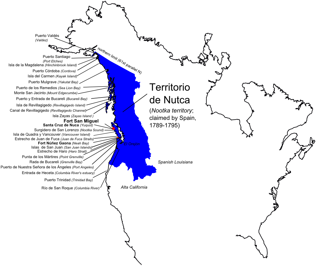
Oregon Country was a large region of the Pacific Northwest of North America that was subject to a long dispute between the United Kingdom and the United States in the early 19th century. The area, which had been created by the Treaty of 1818, consisted of the land north of 42°N latitude, south of 54°40′N latitude, and west of the Rocky Mountains down to the Pacific Ocean and east to the Continental Divide. Article III of the 1818 treaty gave joint control to both nations for ten years, allowed land to be claimed, and guaranteed free navigation to all mercantile trade. However, both countries disputed the terms of the international treaty. Oregon Country was the American name while the British used Columbia District for the region. British and French Canadian fur traders had entered Oregon Country prior to 1810 before the arrival of American settlers from the mid-1830s onwards, which led to the foundation of the Provisional Government of Oregon. Its coastal areas north from ... [...More Info...] [...Related Items...] OR: [Wikipedia] [Google] [Baidu] |
British Columbia
British Columbia (commonly abbreviated as BC) is the westernmost province of Canada, situated between the Pacific Ocean and the Rocky Mountains. It has a diverse geography, with rugged landscapes that include rocky coastlines, sandy beaches, forests, lakes, mountains, inland deserts and grassy plains, and borders the province of Alberta to the east and the Yukon and Northwest Territories to the north. With an estimated population of 5.3million as of 2022, it is Canada's third-most populous province. The capital of British Columbia is Victoria and its largest city is Vancouver. Vancouver is the third-largest metropolitan area in Canada; the 2021 census recorded 2.6million people in Metro Vancouver. The first known human inhabitants of the area settled in British Columbia at least 10,000 years ago. Such groups include the Coast Salish, Tsilhqotʼin, and Haida peoples, among many others. One of the earliest British settlements in the area was Fort Victoria, established ... [...More Info...] [...Related Items...] OR: [Wikipedia] [Google] [Baidu] |
Treaty Of 1818
The Convention respecting fisheries, boundary and the restoration of slaves, also known as the London Convention, Anglo-American Convention of 1818, Convention of 1818, or simply the Treaty of 1818, is an international treaty signed in 1818 between the United States and the United Kingdom. This treaty resolved standing boundary issues between the two nations. The treaty allowed for joint occupation and settlement of the Oregon Country, known to the British and in Canadian history as the Columbia District of the Hudson's Bay Company, and including the southern portion of its sister district New Caledonia (Canada), New Caledonia. The two nations agreed to a boundary line involving the 49th parallel north, in part because a straight-line boundary would be easier to survey than the pre-existing boundaries based on watersheds. The treaty marked both the United Kingdom's last permanent major loss of territory in what is now the Continental United States and the United States' first per ... [...More Info...] [...Related Items...] OR: [Wikipedia] [Google] [Baidu] |
Lewis And Clark Expedition
The Lewis and Clark Expedition, also known as the Corps of Discovery Expedition, was the United States expedition to cross the newly acquired western portion of the country after the Louisiana Purchase. The Corps of Discovery was a select group of U.S. Army and civilian volunteers under the command of Captain Meriwether Lewis and his close friend Second Lieutenant William Clark. Clark and 30 members set out from Camp Dubois, Illinois, on May 14, 1804, met Lewis and ten other members of the group in St. Charles, Missouri, then went up the Missouri River. The expedition crossed the Continental Divide of the Americas near the Lemhi Pass, eventually coming to the Columbia River, and the Pacific Ocean in 1805. The return voyage began on March 23, 1806, at Fort Clatsop, Oregon, and ended on September 23 of the same year. President Thomas Jefferson commissioned the expedition shortly after the Louisiana Purchase in 1803 to explore and to map the newly acquired territory, to find a pr ... [...More Info...] [...Related Items...] OR: [Wikipedia] [Google] [Baidu] |
Alexander Mackenzie (explorer)
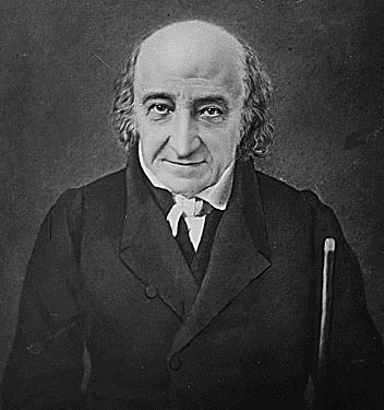
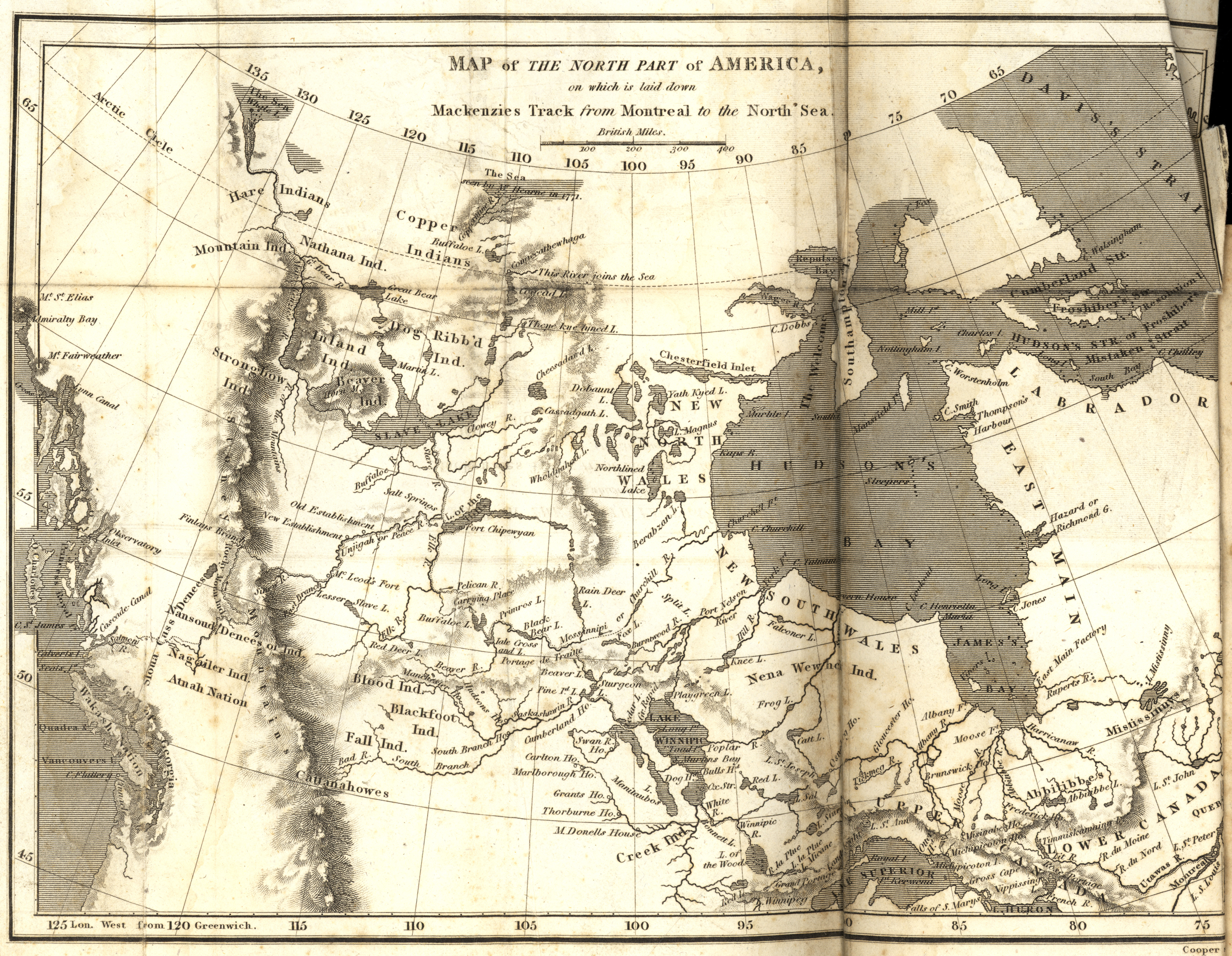
Sir Alexander Mackenzie (or MacKenzie, gd, Alasdair MacCoinnich; – 12 March 1820) was a Scottish explorer known for accomplishing the first crossing of America north of Mexico in 1793. The Mackenzie River is named after him. Early life Mackenzie was born in House in Stornoway in Isle of Lewis, Lewis. He was the third of the four children born to Kenneth 'Corc' Mackenzie (1731–1780) and his wife Isabella MacIver, from another prominent mercantile family in Stornoway. When only 14 years old, Mackenzie's father served as an Ensign (rank), ensign to protect Stornoway during the Jacobite rising of 1745. He later became a merchant and held the Tacksman, tack of Melbost; his grandfather being a younger brother of Murdoch Mackenzie, 6th Laird of Fairburn. Educated at the same school as Colin Mackenzie, the army officer and first Surveyor General of India, he sailed to New York City with his father to join an uncle, John Mackenzie, in 1774, after his mother died in Scotland. In ... [...More Info...] [...Related Items...] OR: [Wikipedia] [Google] [Baidu] |
Binfords & Mort Publishing
Binford & Mort Publishing is a book publishing company located in Hillsboro, Oregon, United States. Founded in 1930, the company was previously known as Metropolitan Press and Binfords & Mort. At one time they were the largest book publisher in the Pacific Northwest. The privately owned company focuses on books from the Pacific Northwest, and has printed many important titles covering Oregon's history. History Maurice M. Binford was born in Indiana in 1878, but moved west in 1884 after his parents died.Corning, Howard M. (1989) ''Dictionary of Oregon History''. Binfords & Mort Publishing. pp. 28, 32. Peter A. Binford, also from Indiana, was born on March 23, 1876, in Crawfordsville in the west-central part of that state. Peter and Maurice moved to Klickitat County, Washington, in 1884 with their older sister Julia, who had married Frank Lee. Julia raised the two along with five other younger siblings. Peter later worked in the printing industry in Klickitat County for his brothe ... [...More Info...] [...Related Items...] OR: [Wikipedia] [Google] [Baidu] |
Montana
Montana () is a state in the Mountain West division of the Western United States. It is bordered by Idaho to the west, North Dakota and South Dakota to the east, Wyoming to the south, and the Canadian provinces of Alberta, British Columbia, and Saskatchewan to the north. It is the fourth-largest state by area, the eighth-least populous state, and the third-least densely populated state. Its state capital is Helena. The western half of Montana contains numerous mountain ranges, while the eastern half is characterized by western prairie terrain and badlands, with smaller mountain ranges found throughout the state. Montana has no official nickname but several unofficial ones, most notably "Big Sky Country", "The Treasure State", "Land of the Shining Mountains", and " The Last Best Place". The economy is primarily based on agriculture, including ranching and cereal grain farming. Other significant economic resources include oil, gas, coal, mining, and lumber. The health ca ... [...More Info...] [...Related Items...] OR: [Wikipedia] [Google] [Baidu] |
Wyoming
Wyoming () is a U.S. state, state in the Mountain states, Mountain West subregion of the Western United States. It is bordered by Montana to the north and northwest, South Dakota and Nebraska to the east, Idaho to the west, Utah to the southwest, and Colorado to the south. With a population of 576,851 in the 2020 United States census, Wyoming is the List of U.S. states and territories by population, least populous state despite being the List of U.S. states and territories by area, 10th largest by area, with the List of U.S. states by population density, second-lowest population density after Alaska. The state capital and List of municipalities in Wyoming, most populous city is Cheyenne, Wyoming, Cheyenne, which had an estimated population of 63,957 in 2018. Wyoming's western half is covered mostly by the ranges and rangelands of the Rocky Mountains, while the eastern half of the state is high-elevation prairie called the High Plains (United States), High Plains. It is drier ... [...More Info...] [...Related Items...] OR: [Wikipedia] [Google] [Baidu] |


