|
Tennessee State Route 270
State Route 270 (SR 270), also known as Old Columbia Road, is a east–west state highway in Middle Tennessee. It connects Chapel Hill with Unionville and Shelbyville. Route description SR 270 begins in Marshall County in Chapel Hill Chapel Hill or Chapelhill may refer to: Places Antarctica * Chapel Hill (Antarctica) Australia *Chapel Hill, Queensland, a suburb of Brisbane *Chapel Hill, South Australia, in the Mount Barker council area Canada * Chapel Hill, Ottawa, a neighbo ... at an intersection with US 31A/ SR 11/ SR 99 just south of downtown. It goes east to leave Chapel Hill and pass through wooded areas, where it crosses a bridge over a creek, before passing through farmland to cross into Bedford County. The highway winds its way southeast, where it crosses over another creek, and passes through farmland and rural areas for several miles before coming to an end at an intersection with US 41A/ SR 16 between Unionville and Shelbyville. The entire route of SR 270 ... [...More Info...] [...Related Items...] OR: [Wikipedia] [Google] [Baidu] |
Chapel Hill, Tennessee
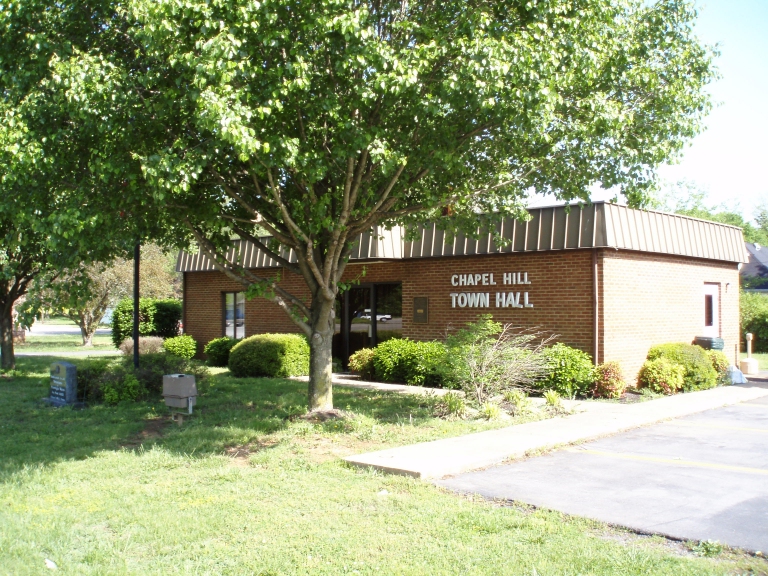
Chapel Hill is a town in northeastern Marshall County, Tennessee, United States. The town was named after Chapel Hill, North Carolina, by settlers from that area. The population was 1,717 as of the 2020 census. Geography Chapel Hill is located at (35.628154, -86.696203). According to the United States Census Bureau, the town has a total area of , all of it land. Communities * Caney Springs * Holts Corner * Clay Hill - Rich Creek * Laws Hill *Farmington *Verona Nearby cities and towns * College Grove * Columbia * Cornersville * Eagleville *Franklin * Lewisburg *Murfreesboro *Nashville * Nolensville * Shelbyville * Spring Hill * Unionville Demographics 2020 census As of the 2020 United States census, there were 1,717 people, 660 households, and 396 families residing in the town. 2000 census As of the census of 2000, there were 944 people, 398 households, and 278 families residing in the town. The population density was 689.3 people per square mile (265.8/km2). There were 430 ... [...More Info...] [...Related Items...] OR: [Wikipedia] [Google] [Baidu] |
Unionville, Tennessee
Unionville is an unincorporated community and census-designated place (CDP) in Bedford County, Tennessee, United States. Its population was 1,368 as of the 2010 census. Unionville has a post office with ZIP code 37180. Demographics History Unionville was platted in 1827, and named for the fact two rival settlements merged with the new name. A post office has been in operation at Unionville since 1837. Education Unionville contains three Bedford County public schools, the Community Elementary School (kindergarten to grade 5), the Community Middle School (grades 6 to 8), and Community High School (grades 9 to 12). Community Middle School website, accessed March 27, 2010 Notab ...
|
Marshall County, Tennessee
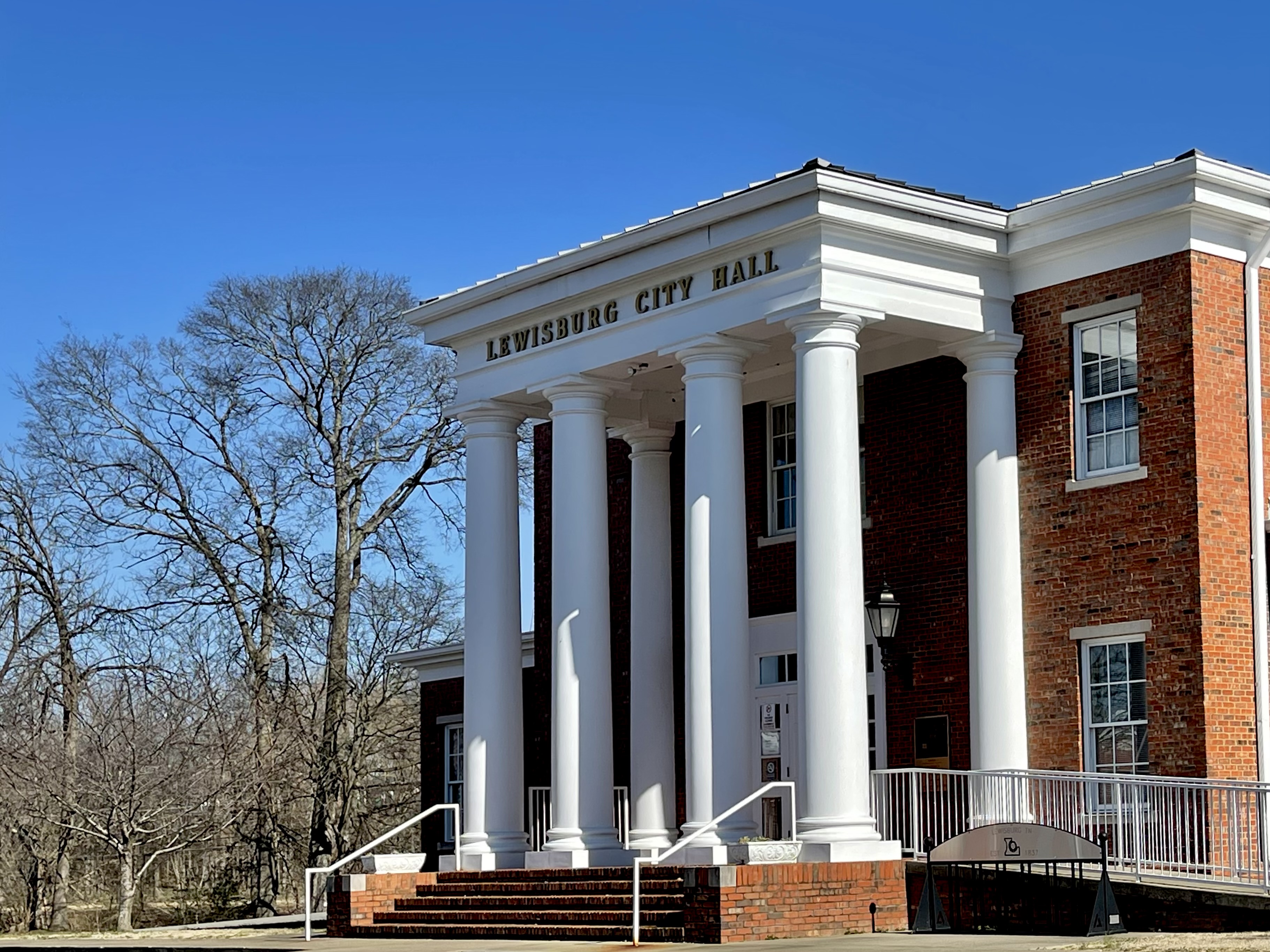
Marshall County is a county located in the U.S. state of Tennessee. As of the 2020 census, the population was 34,318. Its county seat is Lewisburg. Marshall County comprises the Lewisburg Micropolitan Statistical Area, which is also included in the Nashville-Davidson–Murfreesboro–Franklin, TN Metropolitan Statistical Area. It is in Middle Tennessee, one of the three Grand Divisions of the state. The Tennessee Walking Horse Breeders' and Exhibitors' Association is based here. In addition, the fainting goat is another animal breed developed here. To celebrate this unique breed, the county holds an annual festival known as "Goats, Music and More," drawing visitors from around the world. History Marshall County was created in 1836 from parts of Giles, Bedford, Lincoln and Maury counties. Marshall County was originally to be named Cannon County. Due to a clerical error at the time of formation in 1836 the names of Marshall and Cannon Counties, both formed in 1836, were ac ... [...More Info...] [...Related Items...] OR: [Wikipedia] [Google] [Baidu] |
Bedford County, Tennessee
Bedford County is a county located in the U.S. state of Tennessee. As of the 2020 census, the population was 50,237. Its county seat is Shelbyville. Bedford County comprises the Shelbyville, TN Micropolitan Statistical Area, which is also included in the Nashville- Davidson- Murfreesboro, TN Combined Statistical Area. History The county was created in 1807 when the citizens of Rutherford County living south of the Duck River and the Stones River successfully petitioned the governor to split Rutherford County in two. The new county was named after American Revolutionary War officer and large landowner in the area, Thomas Bedford. Once the state's largest and most populous county, Bedford County's size (in terms of area) has been steadily reduced since 1809 to form Coffee County, Moore County, Lincoln County, and Marshall County. The county was pro-Confederate during the Civil War, but Shelbyville was mostly loyal to the Union. Confederate general Nathan Bedford For ... [...More Info...] [...Related Items...] OR: [Wikipedia] [Google] [Baidu] |
Middle Tennessee
Middle Tennessee is one of the three Grand Divisions of the U.S. state of Tennessee that composes roughly the central portion of the state. It is delineated according to state law as 41 of the state's 95 counties. Middle Tennessee contains the state's capital and largest city, Nashville, as well as Clarksville, the state's fifth largest city, and Murfreesboro, the state's sixth largest city and largest suburb of Nashville. The Nashville metropolitan area, located entirely within the region, is the most populous metropolitan area in the state, and the Clarksville metropolitan area is the state's sixth most populous. Middle Tennessee is both the largest, in terms of land area, and the most populous of the state's three Grand Divisions. Geographically, Middle Tennessee is composed of the Highland Rim, which completely surrounds the Nashville Basin. The Cumberland Plateau is located in the eastern part of the region. Culturally, Middle Tennessee is considered part of the Upland Sout ... [...More Info...] [...Related Items...] OR: [Wikipedia] [Google] [Baidu] |
Shelbyville, Tennessee
Shelbyville is a city in and the county seat of Bedford County, Tennessee, United States. The town was laid out in 1810 and incorporated in 1819. Shelbyville had a population of 20,335 residents at the 2010 census. The town is a hub of the Tennessee Walking Horse industry and has been nicknamed "The Walking Horse Capital of the World". Geography Shelbyville is in Middle Tennessee on a Highland Rim limestone bluff upon the banks of Duck River, which flows around the southern and eastern sides of town. According to the United States Census Bureau, the city has a total area of , all land. Climate Demographics 2020 census As of the 2020 United States census, there were 23,557 people, 7,257 households, and 5,025 families residing in the city. 2000 census As of the census of 2000, there were 16,105 people, 6,066 households, and 4,155 families residing in the city. The population density was 1,041.3 people per square mile (402.0/km2). There were 6,550 housing units at an average ... [...More Info...] [...Related Items...] OR: [Wikipedia] [Google] [Baidu] |
Tennessee State Route 11
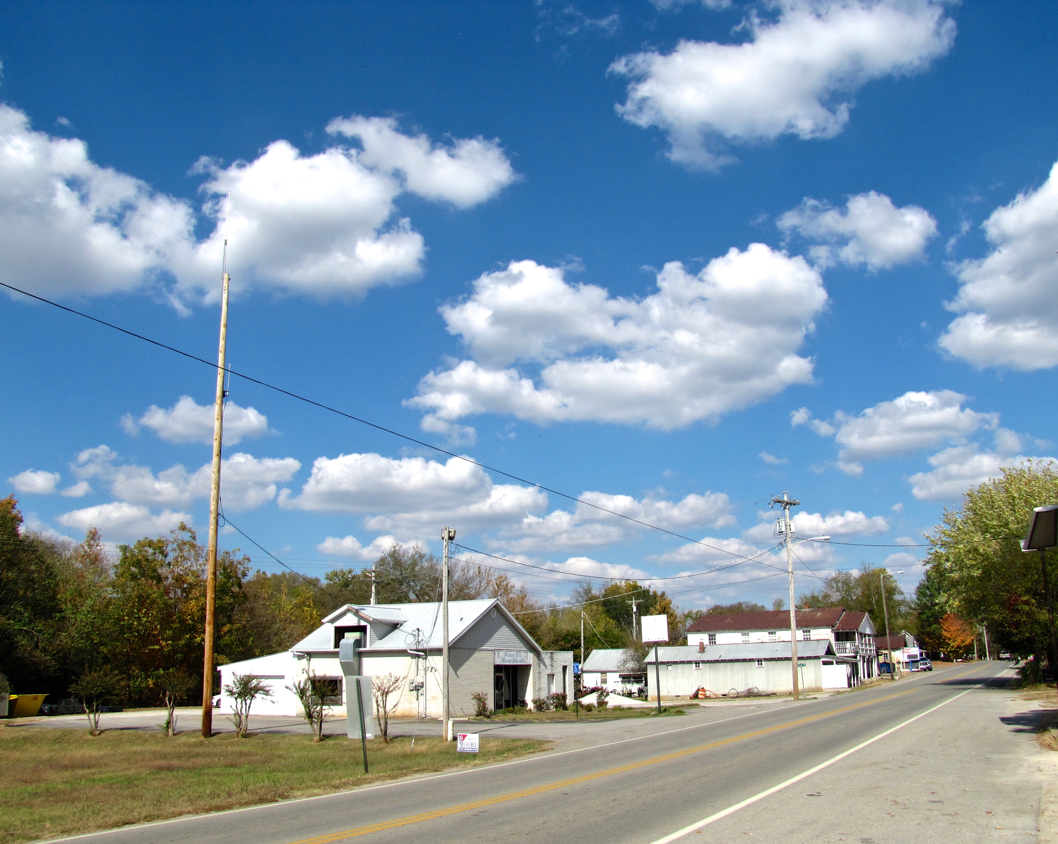
State Route 11 (SR 11) is a mostly unsigned south–north highway that goes from the Alabama border in Giles County, Tennessee to the Kentucky border in Montgomery County, Tennessee, Montgomery County. Route description SR 11 begins as a signed primary highway in Giles County, Tennessee, Giles County at the Alabama (We dare defend our rights) , anthem = "Alabama (state song), Alabama" , image_map = Alabama in United States.svg , seat = Montgomery, Alabama, Montgomery , LargestCity = Huntsville, Alabama, Huntsville , LargestCounty = Baldwin County, Al ... state line. It passes through rolling hills and farmland to pass through Minor Hill, Tennessee, Minor Hill and Goodspring, Tennessee, Goodspring before entering the Pulaski, Tennessee, Pulaski city limits at an intersection with U.S. Route 64 in Tennessee, US 64. It then becomes concurrent with Tennessee State Route 166, SR 166 before passing through neighborhoods and crossing a bridge over Richland Creek (Tennesse ... [...More Info...] [...Related Items...] OR: [Wikipedia] [Google] [Baidu] |
Tennessee State Route 99
State Route 99 (SR 99) is a long east–west highway in Middle Tennessee. The route travels through large sections of rural areas and for most of the length is a secondary highway. The route begins near Waynesboro and ends in Bradyville after logging and passing through six counties. Route description Wayne County SR 99 begins as a secondary highway in Wayne County in Waynesboro at an intersection with US 64/SR 15 just east of downtown along a former alignment of US 64. The highway then passes by several homes and businesses before turning north onto Natural Bridge Road, where it leaves Old Hwy. 64 and Waynesboro. SR 99 goes through some rural areas before becoming very curvy as it passes through Ashland and begins paralleling the Buffalo River, shortly before crossing into Lewis County. Lewis County SR 99 continues to wind and curve its way through the countryside before making a sharp left turn onto Seiber Ridge Road, where it becomes Allens Creek Road, shortly be ... [...More Info...] [...Related Items...] OR: [Wikipedia] [Google] [Baidu] |
Tennessee State Route 16
State Route 16 (SR 16) is a state highway in the U.S. state of Tennessee. Its southern terminus is at the Alabama state line, where it continues as State Route 79 (SR 79) in Alabama. From there, it continues to Winchester, where it becomes unsigned in a concurrency with U.S. Route 41A (US 41A). This concurrency lasts until its northern terminus in Williamson County, at a junction with U.S. Route 31A (US 31A). Route description Franklin County SR 16 begins at the Alabama State Line in Franklin County, on top of a very tall ridge, where it continues as State Route 79, several miles north of Scottsboro, AL. It continues north as a very curvy 2-lane highway before exiting the mountains and lowering down into some farmland. It then goes north to enter Winchester at an interchange with US 64 and SR 15, a 4-lane bypass of Winchester, before turning east and entering downtown. In downtown, it comes to an intersection with US 41A, SR 50, and SR 130. SR 16 continues east and beco ... [...More Info...] [...Related Items...] OR: [Wikipedia] [Google] [Baidu] |
State Highways In Tennessee
State may refer to: Arts, entertainment, and media Literature * ''State Magazine'', a monthly magazine published by the U.S. Department of State * ''The State'' (newspaper), a daily newspaper in Columbia, South Carolina, United States * ''Our State'', a monthly magazine published in North Carolina and formerly called ''The State'' * The State (Larry Niven), a fictional future government in three novels by Larry Niven Music Groups and labels * States Records, an American record label * The State (band), Australian band previously known as the Cutters Albums * ''State'' (album), a 2013 album by Todd Rundgren * ''States'' (album), a 2013 album by the Paper Kites * ''States'', a 1991 album by Klinik * ''The State'' (album), a 1999 album by Nickelback Television * ''The State'' (American TV series), 1993 * ''The State'' (British TV series), 2017 Other * The State (comedy troupe), an American comedy troupe Law and politics * State (polity), a centralized political organizatio ... [...More Info...] [...Related Items...] OR: [Wikipedia] [Google] [Baidu] |
Transportation In Marshall County, Tennessee
Transport (in British English), or transportation (in American English), is the intentional Motion, movement of humans, animals, and cargo, goods from one location to another. Mode of transport, Modes of transport include aviation, air, land transport, land (rail transport, rail and road transport, road), ship transport, water, cable transport, cable, pipeline transport, pipeline, and space transport, space. The field can be divided into infrastructure, vehicles, and business operations, operations. Transport enables human trade, which is essential for the development of civilizations. Transport infrastructure consists of both fixed installations, including roads, railways, airway (aviation), airways, waterways, canals, and pipeline transport, pipelines, and terminals such as airports, train station, railway stations, bus stations, warehouses, trucking terminals, refueling depots (including fueling docks and fuel stations), and seaports. Terminals may be used both for intercha ... [...More Info...] [...Related Items...] OR: [Wikipedia] [Google] [Baidu] |


