|
Tschingel Pass
The Tschingel Pass (2,787 m) is a high mountain pass of the Bernese Alps, connecting Kandersteg with Stechelberg in the Bernese Oberland. It is the lowest pass between the upper Kandertal and the valley of Lauterbrunnental, Lauterbrunnen. The pass is glaciated and separated the Kander Glacier from the Tschingel Glacier. It lies between the Blüemlisalp and the Tschingelhorn and is overlooked by the Mutthorn. References External linksTschingel Pass on Hikr Mountain passes of the canton of Bern Mountain passes of the Alps {{Bern-geo-stub ... [...More Info...] [...Related Items...] OR: [Wikipedia] [Google] [Baidu] |
Gspaltenhorn
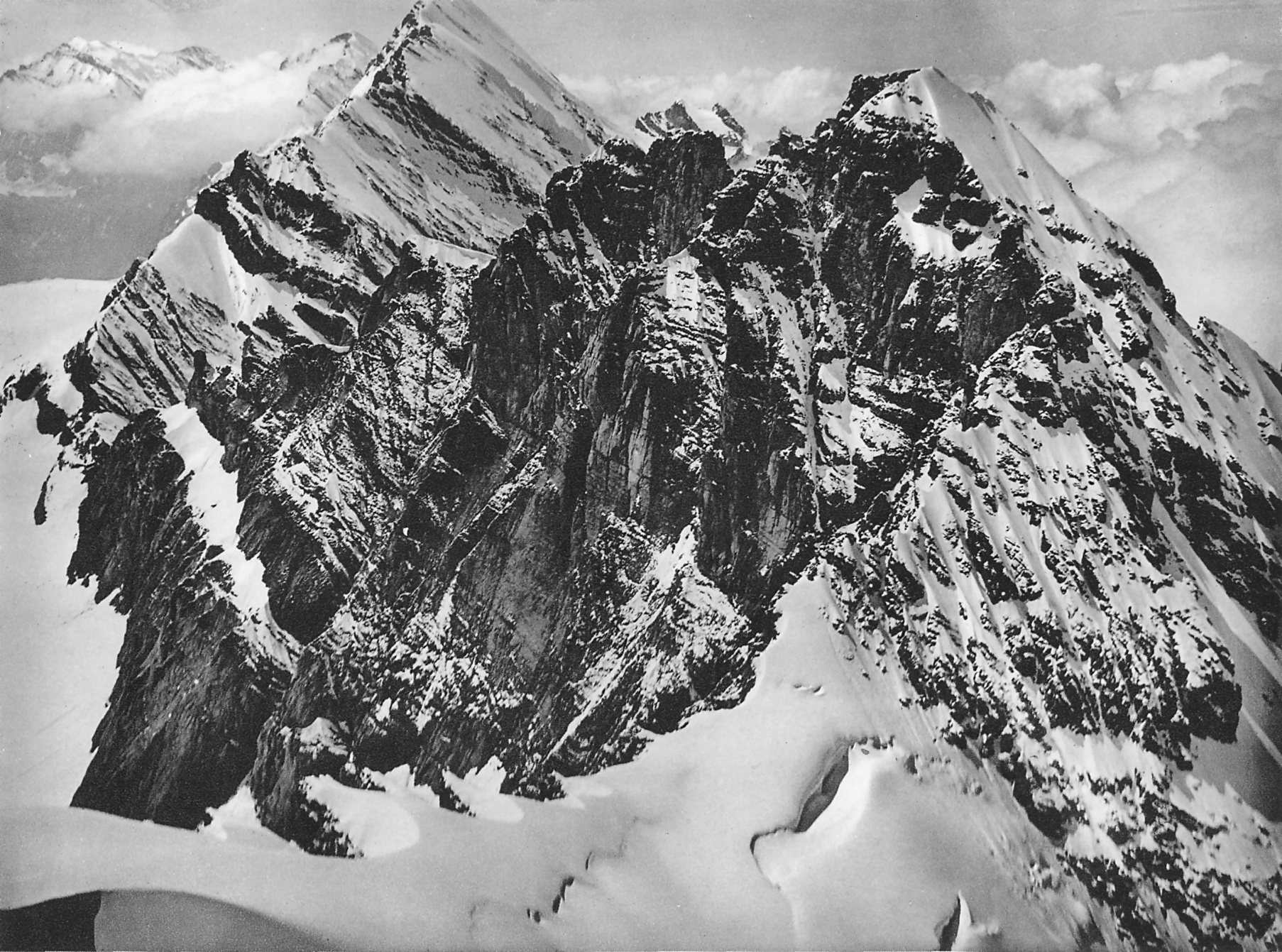
The Gspaltenhorn is a mountain of the Bernese Alps, located between the valleys of Kiental and Lauterbrunnen in the canton of Bern german: Berner(in)french: Bernois(e) it, bernese , neighboring_municipalities = Bremgarten bei Bern, Frauenkappelen, Ittigen, Kirchlindach, Köniz, Mühleberg, Muri bei Bern, Neuenegg, Ostermundigen, Wohlen bei Bern, Zollikofen , website .... With an elevation of 3,436 metres above sea level, the Gspaltenhorn is the highest summit of the range lying north-east of the Gamchilück pass (2,837 m). References External links Gspaltenhorn on Hikr Bernese Alps Mountains of the Alps [...More Info...] [...Related Items...] OR: [Wikipedia] [Google] [Baidu] |
Kandertal
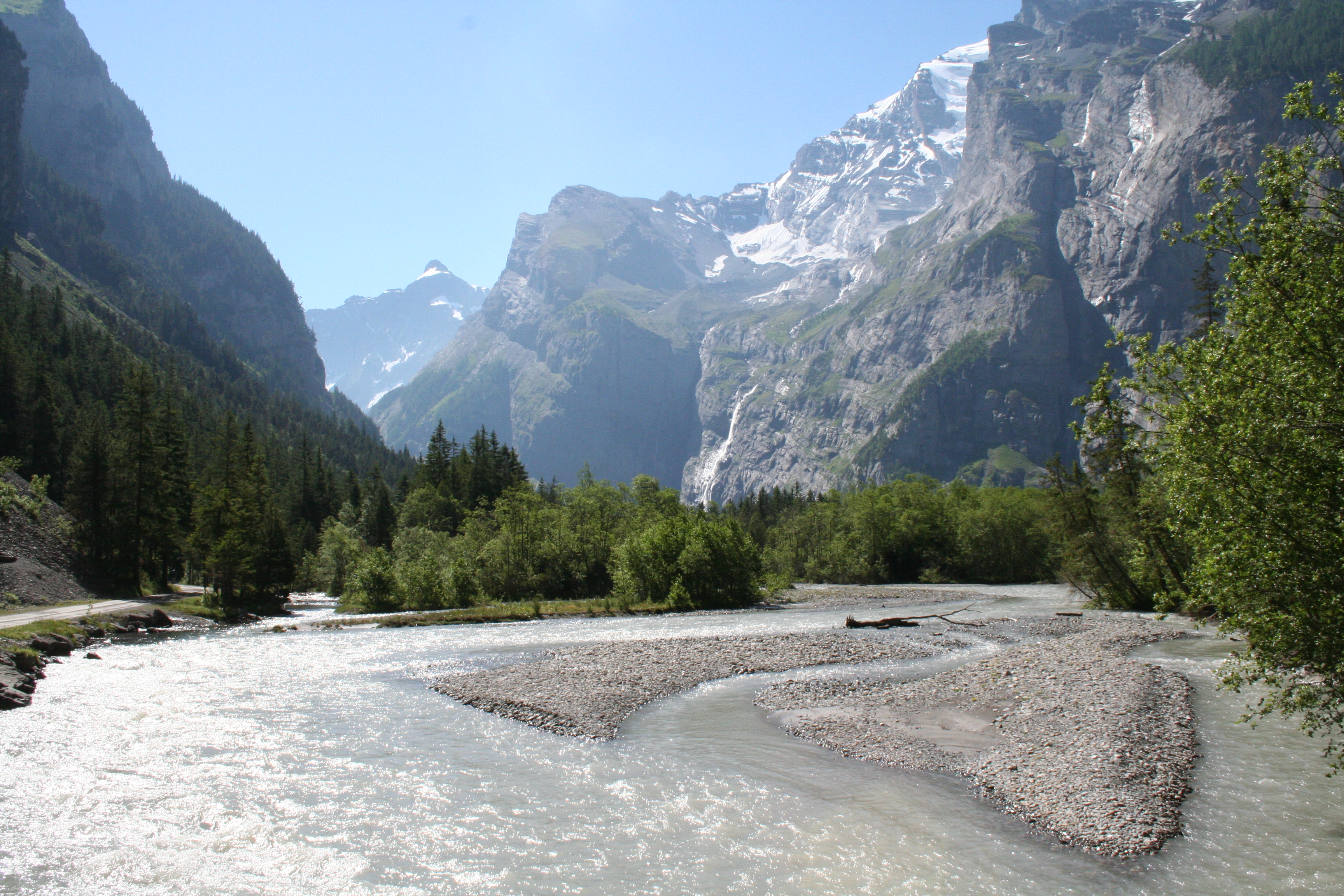
The Kander is a river in Switzerland. It is long and has a watershed of . Originally a tributary of the Aare, with a confluence downstream of the city of Thun, since 1714 it flows into Lake Thun upstream of the city. The drainage water from the Kander Neve (glacier) in the middle of the Bernese Alps at an altitude of flows through the Gasteretal westward. south of Kandersteg it turns to north into the larger Kandertal. After it converges in Frutigen with the Engstlige from the left, its second major tributary. The Engstligental with Adelboden at its south end, runs more or less parallel to the Kandertal before they converge into the Frutigtal. Continuing northwards, the Frutigtal makes a long bend to the west in order to get around the Niesen. Between Spiez and Reutigen it converges with the Simme from the left, its major tributary, and turns to the north again and flows into the Lake of Thun after a break through a hill, which used to prevent it flowing into the lake unti ... [...More Info...] [...Related Items...] OR: [Wikipedia] [Google] [Baidu] |
Mutthorn
The Mutthorn (3,035 m) is a mountain of the Bernese Alps, overlooking the Kander Glacier in the Bernese Oberland. It lies between the valleys of Kandersteg (west) and Lauterbrunnen (east). The Mutthornhütte is located south of summit at 2,900 metres. It is owned by the Swiss Alpine Club The Swiss Alpine Club (german: Schweizer Alpen-Club, french: Club Alpin Suisse, it, Club Alpino Svizzero, rm, Club Alpin Svizzer) is the largest mountaineering club in Switzerland. It was founded in 1863 in Olten and it is now composed of 111 s .... References External links Mutthorn on Hikr Mountains of the Alps Alpine three-thousanders Mountains of Switzerland Mountains of the canton of Bern Bernese Alps {{Bern-mountain-stub ... [...More Info...] [...Related Items...] OR: [Wikipedia] [Google] [Baidu] |
Tschingelhorn
The Tschingelhorn (3,562 m) is a mountain of the Bernese Alps, located on the border between the Swiss cantons of Bern and Valais. The summit of the Klein Tschingelhorn (3,495 m) on the west is the tripoint between the valleys of Kandertal, Lauterbrunnental (both in the Bernese Oberland) and Lötschental (in Valais). The main summit lies between the Lauterbrunnental and the Lötschental. The first ascent was made by Heinrich Feuz, W. H. Hawker, and Ulrich and Christian Lauener on 6 September 1865. W. A. B. Coolidge's dog 'Tschingel' (d. 1879) – a gift to Coolidge from Swiss guide Christian Almer in 1868 – was named after the mountain; she made eleven first ascents in the Alps and completed 66 ''grandes courses'', and was nominated but not accepted as an honorary member of the Alpine Club The first alpine club, the Alpine Club, based in the United Kingdom, was founded in London in 1857 as a gentlemen's club. It was once described as: :"a club of English gentlemen devoted ... [...More Info...] [...Related Items...] OR: [Wikipedia] [Google] [Baidu] |
Blüemlisalp
The Blüemlisalp is a massif of the Bernese Alps, in the territory of the municipalities of Kandersteg and Reichenbach im Kandertal. Its main peaks are: *Blüemlisalphorn (3,661 m) *Wyssi Frau (3,648 m) *Morgenhorn (3,623 m) The entire massif is contained within the canton of Berne, as it lies north of the main crest and water divide of the Bernese Alps. To the west, it is connected with the Doldenhorn group via the Oeschinenhorn and Fründenhorn peaks; to the east, it is continued by the Gspaltenhorn. To the south, it is connected to the main crest by the Tschingel Pass. Ascent is from the Blüemlisalphütte' (2,840 m), over the glacier, past the Wildi Frau (3,260 m) Geography The Blüemlisalp forms a ridge of great height, cut away in precipices on the southeast side, surmounted by four principal peaks, in the following order, reckoning from east to west: Morgenhorn (3,623 m), Wyssi Frau (3,648 m), the Blüemlisalphorn (3,661 m) and the Oeschinenhorn (3,486 m). To th ... [...More Info...] [...Related Items...] OR: [Wikipedia] [Google] [Baidu] |
Tschingel Glacier
The Tschingel Glacier (german: Tschingelfirn) is a 3 km long glacier (2005) situated in the Bernese Alps in the canton of Berne in Switzerland. In 1973 it had an area of 6.19 km². See also *List of glaciers in Switzerland *Swiss Alps The Alpine region of Switzerland, conventionally referred to as the Swiss Alps (german: Schweizer Alpen, french: Alpes suisses, it, Alpi svizzere, rm, Alps svizras), represents a major natural feature of the country and is, along with the Swiss ... External linksSwiss glacier monitoring network Glaciers of the canton of Bern Glaciers of the Alps GTschingel {{Bern-glacier-stub ... [...More Info...] [...Related Items...] OR: [Wikipedia] [Google] [Baidu] |
Kander Glacier
The Kander Neve (german: Kanderfirn) is a long glacier (2005) of the Bernese Alps, situated south of Kandersteg in the canton of Berne. The glacier lies at the upper end of the Gasterental, at the foot of the Blüemlisalp and the Tschingelhorn. It borders the valley of Lauterbrunnen on the east ( Tschingel Pass) and the canton of Valais on the south (Petersgrat). In 1973 it had an area of . The glacier feeds the head waters of the Kander, a river that flows into Lake Thun, and hence into the Aare and the Rhine. See also *List of glaciers in Switzerland A ''list'' is any set of items in a row. List or lists may also refer to: People * List (surname) Organizations * List College, an undergraduate division of the Jewish Theological Seminary of America * SC Germania List, German rugby unio ... * Swiss Alps External linksSwiss glacier monitoring network [...More Info...] [...Related Items...] OR: [Wikipedia] [Google] [Baidu] |
Lauterbrunnental
, neighboring_municipalities= Aeschi bei Spiez, Blatten (Lötschen) (VS), Fieschertal (VS), Grindelwald, Gündlischwand, Kandersteg, Lütschental, Reichenbach im Kandertal, Saxeten, Wilderswil , twintowns = } Lauterbrunnen is a village and Municipalities of Switzerland, municipality in the Interlaken-Oberhasli (administrative district), Interlaken-Oberhasli administrative district in the Cantons of Switzerland, canton of Canton of Bern, Bern in Switzerland. The municipality comprises the other villages of Wengen, Mürren, Gimmelwald, Stechelberg and Isenfluh, as well as several other hamlets. The population of the village of Lauterbrunnen is less than that of Wengen, but larger than that of the others. The municipality comprises the Lauterbrunnen Valley (german: Lauterbrunnental), located at the foot of the Bernese Alps. It is notably overlooked by the Eiger, Mönch and Jungfrau and many other high peaks. The valley, drained by the White Lütschine, comprehends the Soustal, t ... [...More Info...] [...Related Items...] OR: [Wikipedia] [Google] [Baidu] |
Bernese Oberland
The Bernese Oberland ( en, Bernese Highlands, german: Berner Oberland; gsw, Bärner Oberland; french: Oberland bernois), the highest and southernmost part of the canton of Bern, is one of the canton's five administrative regions (in which context it is referred to as ''Oberland'' without further specification). It constitutes the Alpine region of the canton and the northern side of the Bernese Alps, including many of its highest peaks, among which the Finsteraarhorn (), the highest in both range and canton. The region essentially coincides with the upper basin of the Aare, the latter notably comprehending Lake Thun and Lake Brienz, the two large lakes of the region. On the banks of the lakes or the Aare are the main settlements of Thun, Spiez, Interlaken, Brienz and Meiringen. The numerous side valleys of the Bernese Oberland include a large number of Alpine villages, many of them being tourist resorts and connected by mountain railways to Spiez and Interlaken. The Lötschbe ... [...More Info...] [...Related Items...] OR: [Wikipedia] [Google] [Baidu] |
Swisstopo
Swisstopo is the official name for the Swiss Federal Office of Topography (in German language, German: ''Bundesamt für Landestopografie''; French language, French: ''Office fédéral de topographie''; Italian language, Italian: ''Ufficio federale di topografia''; Romansh language, Romansh: ''Uffizi federal da topografia''), Switzerland's national mapping agency. The current name was made official in 2002. It had been in use as the domain name for the institute's homepage, swisstopo.ch, since 1997. Maps The main class of products produced by Swisstopo are topographical maps on seven different Scale (map), scales. Swiss maps have been praised for their accuracy and quality. Regular maps * 1:25.000. This is the most detailed map, useful for many purposes. Those are popular with tourists, especially for famous areas like Zermatt and St. Moritz. These maps cost CHF 13.50 each (2004). 208 maps on this scale are published at regular intervals. The first map published on this scale ... [...More Info...] [...Related Items...] OR: [Wikipedia] [Google] [Baidu] |
Stechelberg
Stechelberg is a small village in Switzerland located at the base of the Schwarzmönch mountain in the Bernese Alps, part of the district of Lauterbrunnen. History The name "Stächelbärg" is first recorded in 1749 to describe this part of the valley. The area was associated with iron ore mining, which led to widespread deforestation. Since then, reforestation programmes have largely restored the area around the village, which has been declared a protected natural area (''Naturschutzgebiet'') The village is connected by the Luftseilbahn Stechelberg-Mürren-Schilthorn (LSMS), an aerial tramway An aerial tramway, sky tram, cable car, ropeway, aerial tram, telepherique, or seilbahn is a type of aerial lift which uses one or two stationary ropes for support while a third moving rope provides propulsion. With this form of lift, the grip ... constructed in 1965, to other amenities and locations in the area. In February 2003, two avalanches struck the village, but did not cause s ... [...More Info...] [...Related Items...] OR: [Wikipedia] [Google] [Baidu] |
Kandersteg
Kandersteg is a municipality in the Frutigen-Niedersimmental administrative district in the canton of Bern in Switzerland. It is located along the valley of the River Kander, west of the Jungfrau massif. It is noted for its spectacular mountain scenery and sylvan alpine landscapes. Tourism is a very significant part of its economic life today. It offers outdoor activities year-round, with hiking trails and mountain climbing as well as downhill and cross-country skiing. Kandersteg hosted the ski jumping and Nordic combined parts of the 2018 Nordic Junior World Ski Championships. History Kandersteg is first mentioned, together with Kandergrund, in 1352 as ''der Kandergrund''. Prehistorically the area was lightly settled. However, several late-neolithic or early Bronze Age bows have been found on the Lötschberg glaciers and a Bronze Age needle was found in the Golitschenalp. From the Roman era a bridge and part of a road were discovered in the village. Until 1909 Kanderste ... [...More Info...] [...Related Items...] OR: [Wikipedia] [Google] [Baidu] |


