|
Tributaries Of The Murrumbidgee River
The Murrumbidgee River is a major river in New South Wales, Australia, with approximately ninety named tributaries A tributary, or affluent, is a stream or river that flows into a larger stream or main stem (or parent) river or a lake. A tributary does not flow directly into a sea or ocean. Tributaries and the main stem river drain the surrounding drainage b ... in total; including 24 rivers, and numerous creeks and gullies. The ordering of the basin, from source to mouth, is: References {{Rivers of the Murrumbidgee River catchment , state=autocollapse ... [...More Info...] [...Related Items...] OR: [Wikipedia] [Google] [Baidu] |
Murrumbidgee River
The Murrumbidgee River () is a major tributary of the Murray River within the Murray–Darling basin and the second longest river in Australia. It flows through the Australian state of New South Wales and the Australian Capital Territory, descending over , generally in a west-northwesterly direction from the foot of Peppercorn Hill in the Fiery Range of the Snowy Mountains towards its confluence with the Murray River near Boundary Bend. The word ''Murrumbidgee'' or ''Marrmabidya'' means "big water" in the Wiradjuri language, one of the local Australian Aboriginal languages. The river itself flows through several traditional Aboriginal Australian lands, home to various Aboriginal peoples. In the Australian Capital Territory, the river is bordered by a narrow strip of land on each side; these are managed as the Murrumbidgee River Corridor (MRC). This land includes many nature reserves, eight recreation reserves, a European heritage conservation zone and rural leases. Flow The ... [...More Info...] [...Related Items...] OR: [Wikipedia] [Google] [Baidu] |
Cotter River
The Cotter River, a perennial river of the Murrumbidgee catchment within the Murray–Darling basin, is located in the Australian Capital Territory, Australia. The Cotter River, together with the Queanbeyan River, is one of two rivers that provides potable water to the Canberra and Queanbeyan region. Course The river rises on the eastern slopes of the Brindabella Ranges in the south-west of the Australian Capital Territory (ACT), within Namadgi National Park, and flows generally north, joined by six minor tributaries, including Paddys River, before reaching its confluence with the Murrumbidgee River, near Casuarina Sands, west of the suburb of Weston Creek. The river descends over its course. History The traditional custodians of the land surrounding the Cotter River are the Aboriginal people of the Ngunnawal clan. The river was named in honour of Garrett Cotter, an Irish-born convict who was transported to Australia for "the term of his natural life". Cotter was banishe ... [...More Info...] [...Related Items...] OR: [Wikipedia] [Google] [Baidu] |
Tarcutta Creek
The Tarcutta Creek, part of the Murray Darling basin, is mostly a perennial stream located in the Riverina region of New South Wales, Australia. Course and features The stream rises on the western slopes of the Great Dividing Range and Australian Alps, approximately southwest of Batlow. The stream flows generally north by west towards the town of where the creek is crossed by the Hume Motorway. From this point the river continues generally north by west towards the city of Wagga Wagga and reaches its confluence with the Murrumbidgee River, approximately southeast of . The creek descends over its course. See also * List of rivers of Australia This is a list of rivers of Australia. Rivers are ordered alphabetically, by state. The same river may be found in more than one state as many rivers cross state borders. Longest rivers nationally Longest river by state or territory Althoug ... References External links * Rivers of New South Wales Rivers in the Riv ... [...More Info...] [...Related Items...] OR: [Wikipedia] [Google] [Baidu] |
Doubtful Creek
Doubtful Creek, formerly known as Doubtful River, a watercourse that is part of the Murrumbidgee catchment within the Murray–Darling basin, is located in the Snowy Mountains district of New South Wales, Australia. The river rises on the north western side of the Munyang Range in the Snowy Mountains at and flows generally north west towards its confluence with the Tumut River at The Gulf Mine; descending over its course. See also *List of rivers of Australia *Rivers of New South Wales This page discusses the rivers and hydrography of the state of New South Wales, Australia. The principal topographic feature of New South Wales is the series of low highlands and plateaus called the Great Dividing Range, which extend from nor ... References External links * Rivers of New South Wales Murray-Darling basin Snowy Mountains {{NewSouthWales-river-stub ... [...More Info...] [...Related Items...] OR: [Wikipedia] [Google] [Baidu] |
Goobarragandra River
Goobarragandra River, a perennial stream that is part of the Murrumbidgee catchment within the Murray–Darling basin, is located in the Snowy Mountains region of New South Wales, Australia. In the past, it was also known as ''Tumut Little River''. Course and features The river rises on the north western side of the Fiery Range in the Snowy Mountains at and flows generally north west, joined by five minor tributaries towards its mouth at the confluence with the Tumut River at Tumut; dropping over the course of the river's length of . The river flows through the locality of Goobarragandra; and the Hume and Hovell Walking Track follows the river for a short duration, about south of Tumut. There are large waterfalls and rapids along this river. There are "camping" spots along the Goobarragandra River as well. See also * List of rivers of New South Wales (A–K) * List of rivers of Australia * Rivers of New South Wales This page discusses the rivers and hydrography ... [...More Info...] [...Related Items...] OR: [Wikipedia] [Google] [Baidu] |
Yass River
The Yass River, a perennial river that is part of the Murrumbidgee catchment within the Murray–Darling basin, is located in the Southern Tablelands and South Western Slopes districts of New South Wales, Australia. Course and features The river rises in rugged country south west of Bungendore, near Wamboin and flows generally north north west then south west, joined by seven minor tributaries, towards its confluence with the Murrumbidgee River into the impounded waters of Lake Burrinjuck, west of Yass; dropping over its course. Etymology A number of competing theories exist as to the origin of the name "Yass". It is believed to be named after an Aborigine commented to explorer, Hamilton Hume, that "Yass boss, plains". An alternative theory is that Yass was named after comments made by Mr Angel, a member of Hume's exploration party, that "Yas, yas, plenty of clear country here". A third theory is that the local Aboriginal Gandangara people used the words ''Yarrh'' or ''Yh ... [...More Info...] [...Related Items...] OR: [Wikipedia] [Google] [Baidu] |
Goodradigbee River
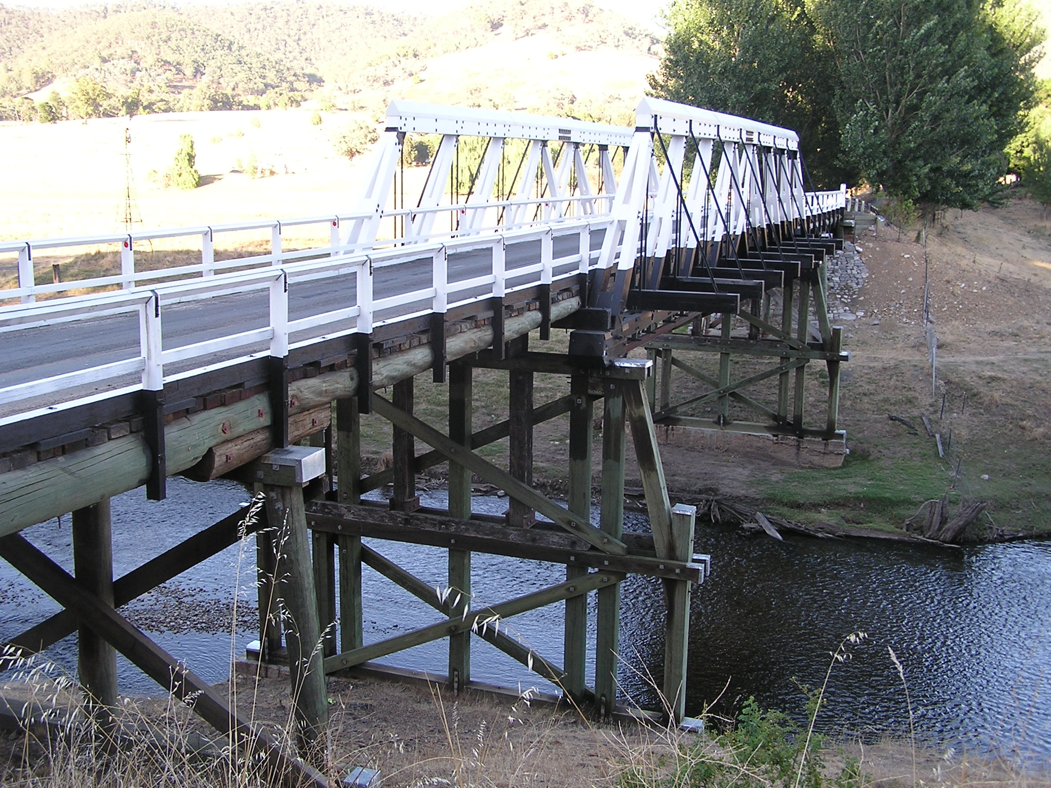
Goodradigbee River, a perennial stream that is part of the Murrumbidgee catchment within the Murray–Darling basin, is located in the Snowy Mountains district of New South Wales, Australia. Course and features The river rises below Mount Morgan on the northern side of the Snowy Mountains at and flows generally north west, joined by fifteen minor tributaries towards its mouth at the confluence with the Murrumbidgee River at Lake Burrinjuck; dropping over the course of the river's length of . The majority of the catchment (95%) is forested with the upper catchment within the Kosciuszko National Park. The catchment is in area. Some water from the upper reaches of the river is diverted into Tantangara Reservoir via an aqueduct, but otherwise the river is not dammed. In 1968 the National Capital Development Commission considered building a dam at Brindabella Valley for the purpose of sending water into the Cotter River via a tunnel. The bridge over the Goodradigbee at Wee ... [...More Info...] [...Related Items...] OR: [Wikipedia] [Google] [Baidu] |
Queanbeyan River
The Queanbeyan River, a perennial stream that is part of the Molonglo catchment within the Murray–Darling basin, is located in the Monaro and Capital Country regions of New South Wales and the Australian Capital Territory, in Australia. The river is in length with a catchment area of . The Queanbeyan River and the Cotter River meet the potable water supply needs of the Canberra and Queanbeyan region and whose water quality is specifically protected under Federal legislation. It is believed that the local Aboriginal Ngarigo people used a word that sounded like ''queanbeyan'' to describe the river, said to mean "clearwater". River course The headwaters of the Queanbeyan River rise east-southeast of Queanbeyan and about northeast of the township of Bredbo, near the village of Jerangle. Fourteen tributaries upstream of the Googong Dam contribute to the river flow including the Burra, Urialla, Tinderry, Ballinafad, Groggy, Woolpack, Sherlock, Lyons, Towneys and Mile Creeks. Th ... [...More Info...] [...Related Items...] OR: [Wikipedia] [Google] [Baidu] |
Sullivans Creek
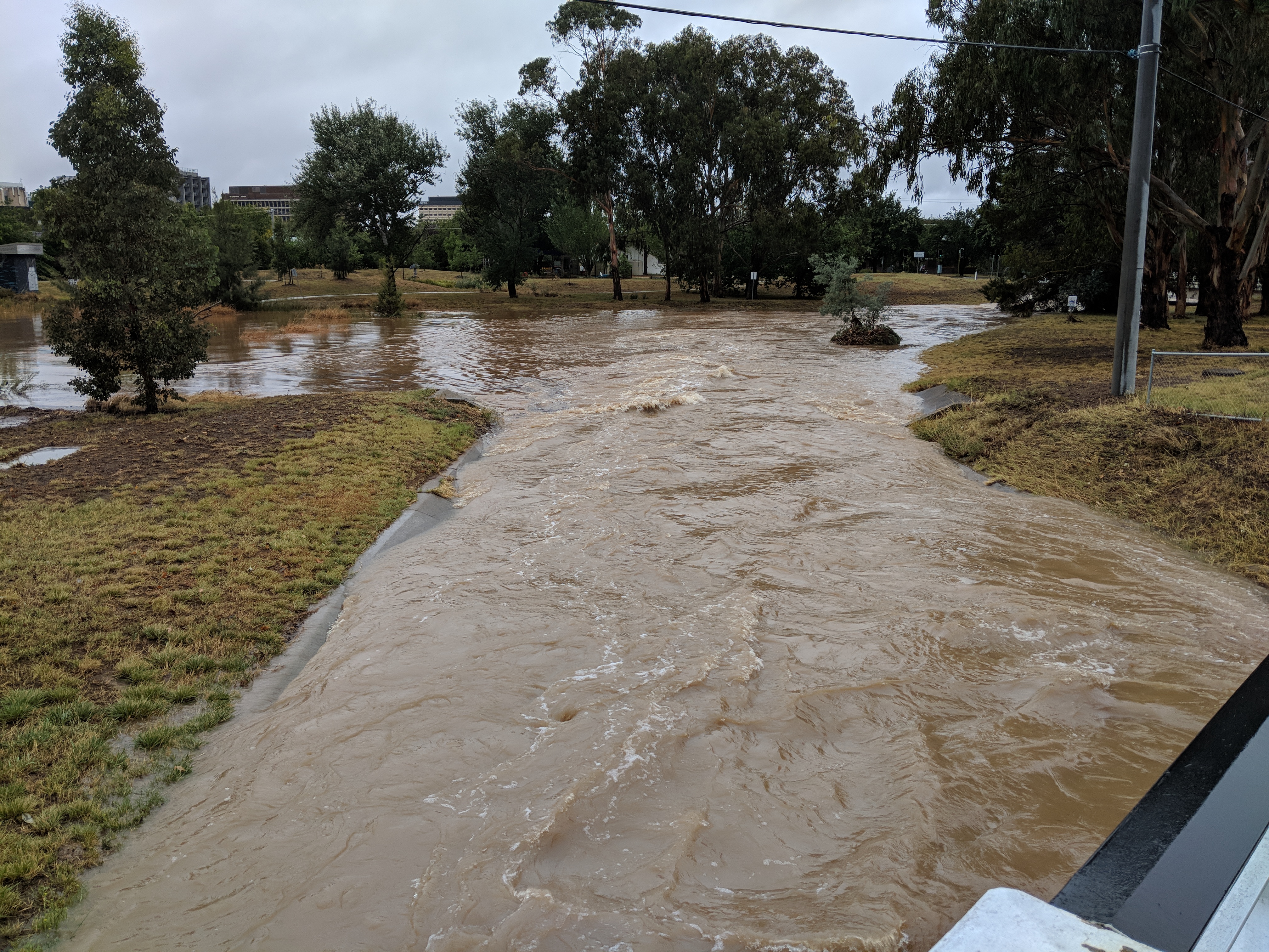
Sullivans Creek, a partly perennial stream of the Murrumbidgee catchment within the Murray–Darling basin, is located in Canberra, Australian Capital Territory, Australia. Location and features Sullivans Creek rises close to the border between the Australian Capital Territory (ACT) and New South Wales, north-east of Kenny, and north-west of Watson. The creek is formed by runoff from Mount Majura, Mount Ainslie, O'Connor Ridge and Black Mountain. Sullivans Creek flows generally south-west, through a small channel within a much larger older gully system in its upper reaches; and through a series of urban sealed stormwater channels in its middle reaches; before reaching the grounds of the Australian National University, towards its confluence with the Molonglo River near Acton. Molonglo River is now dammed as Lake Burley Griffin. The creek has a catchment area of and is approximately long. The creek was originally called Canberry (or Canburry) Creek, since early European set ... [...More Info...] [...Related Items...] OR: [Wikipedia] [Google] [Baidu] |
Jerrabomberra Creek
Jerrabomberra Creek, a partly perennial stream of the Murrumbidgee catchment within the Murray–Darling basin, is located in the Capital Country region spanning both New South Wales and the Australian Capital Territory, Australia. ''Jerrabomberra'' is derived from the Aboriginal word, meaning "afraid of lightning". The traditional custodians of the land surrounding Jerrabomberra Creek are the Ngunnawal Aboriginal people; it lies close to the lands of the neighbouring Ngarigo people. Location and features The creek rises in New South Wales (NSW), below Lobb Hill, between Williamsdale and Royalla, and flows generally north and north–west, before reaching its confluence with the Molonglo River into Lake Burley Griffin, to the north of Narrabundah, in South Canberra, within the Australian Capital Territory (ACT). The creek descends over its course, and has a catchment area of . Jerrabomberra Wetlands Prior to reaching Lake Burley Griffin, the creek flows through a serie ... [...More Info...] [...Related Items...] OR: [Wikipedia] [Google] [Baidu] |
Molonglo River
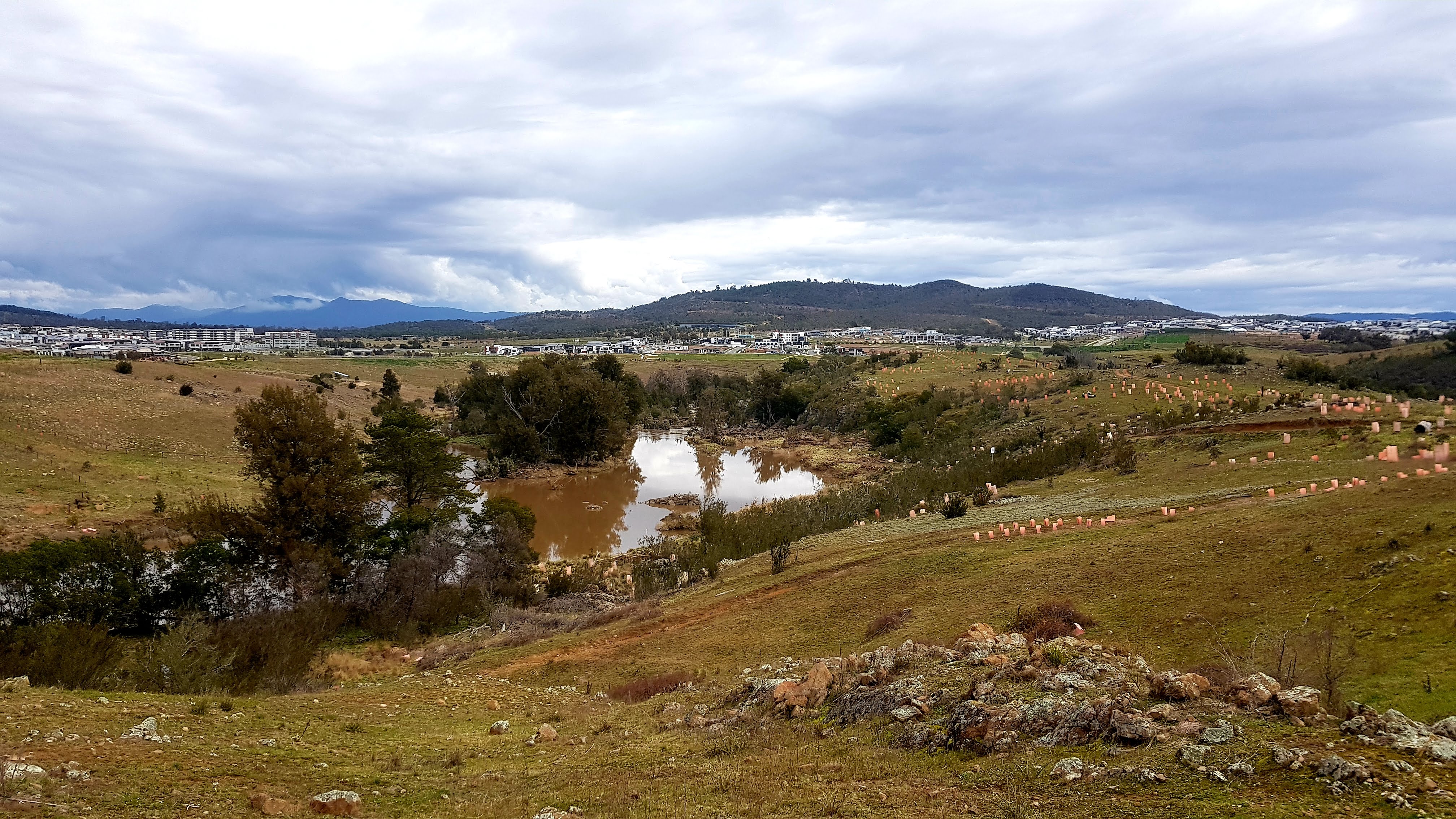
The Molonglo River, a perennial river that is part of the Murrumbidgee catchment within the Murray–Darling basin, is located in the Monaro and Capital Country regions of New South Wales and the Australian Capital Territory, in Australia. Location and features The river rises on the western side of the Great Dividing Range, in Tallaganda State Forest at and flows generally from south to north before turning northwest, through Carwoola and the outskirts of Queanbeyan, where it has confluence with its major tributary, the Queanbeyan River, and then continues through Canberra, where it has been dammed by the Scrivener Dam to form Lake Burley Griffin. The river then flows to its mouth with the Murrumbidgee River, near Uriarra Crossing. Over its course the Molonglo River alternates between long broad floodplains and narrow rocky gorges several times. One of these floodplains is called the Molonglo Plain. From source to mouth, the river is traversed by the Captains Flat Road at ... [...More Info...] [...Related Items...] OR: [Wikipedia] [Google] [Baidu] |


