|
Traverse Mountains
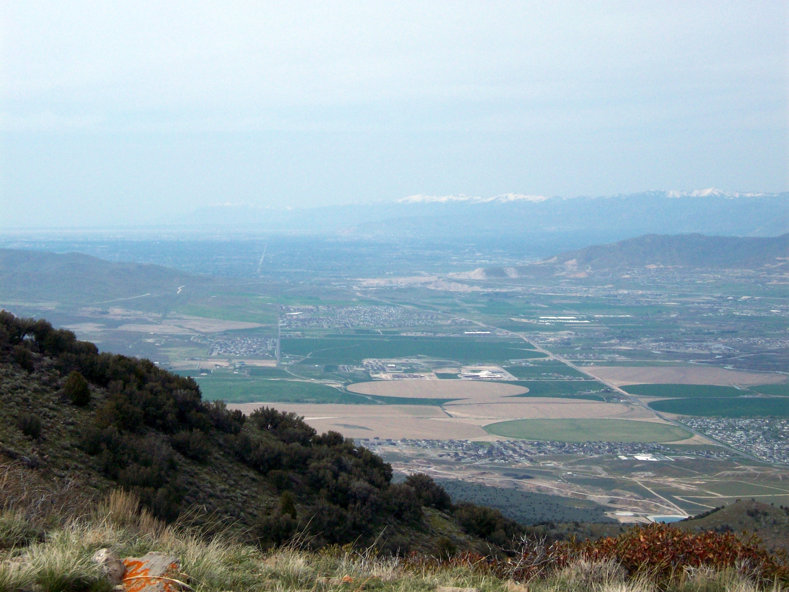
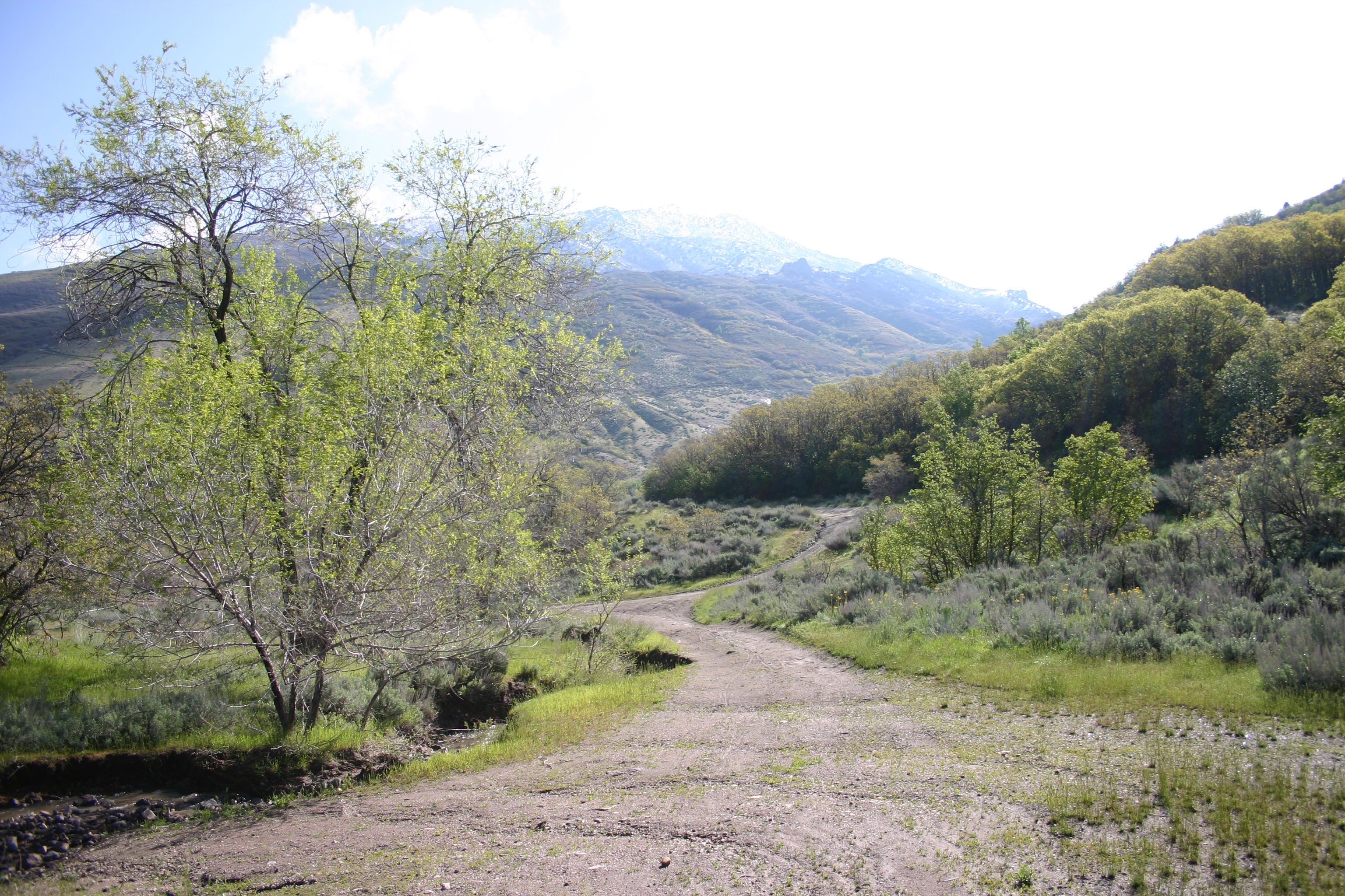
The Traverse Mountains, or sometimes Traverse Range, are an anomalous, geologically complex, east-trending range that separates Salt Lake Valley and Utah Valley in Salt Lake and Utah counties in the U.S. State of Utah. Point of the Mountain is colloquially used to refer to the part of this range that separates the Salt Lake City and Provo metropolitan areas, as well as the mountain pass at , used by the highways and rail arteries that connect the two areas. Description The Traverse Mountains mark the boundary between the Salt Lake and Provo segments of the Wasatch Fault, and they are much faulted and locally involved in landslides. Lake Bonneville once covered Salt Lake and Utah Valleys, and shorelines and deposits from the ice age lake are now etched into the flanks of the Traverse Mountains. The eastern section of the range (often called Traverse Mountain) is split up between the cities of Lehi and Draper. The Draper portion contains the Suncrest community, while the Lehi ... [...More Info...] [...Related Items...] OR: [Wikipedia] [Google] [Baidu] |
Utah Lake
Utah Lake is a shallow freshwater lake in the center of Utah County, Utah, United States. It lies in Utah Valley, surrounded by the Provo-Orem metropolitan area. The lake's only river outlet, the Jordan River, is a tributary of the Great Salt Lake. Evaporation accounts for 42% of the lake's outflow, which leaves the lake slightly saline. The elevation of the lake is at above sea level. If the lake's water level rises above that, the pumps and gates on the Jordan River are left open. Recently the lake has been at a lower level because of a drought. The first European to see Utah Lake was Father Silvestre Vélez de Escalante in 1776. He stayed with the Timpanogots band of Ute Tribe for three days. The Timpanogots were later ethnically cleansed from the area by Mormon settlers between the 1850s and 1870s. The fish of the lake were overharvested by the settlers and subsequently restocked with non-native species. Although thirteen species of fish were native to the lake, only th ... [...More Info...] [...Related Items...] OR: [Wikipedia] [Google] [Baidu] |
Draper, Utah
Draper is a city in Salt Lake and Utah counties in the U.S. state of Utah, about south of Salt Lake City along the Wasatch Front. As of the 2020 census, the population is 51,017, up from 7,143 in 1990. Draper is part of two metropolitan areas; the Salt Lake County portion is in the Salt Lake City metropolitan area, while the Utah County portion is in the Provo-Orem metropolitan area. The Utah State Prison is in Draper, near Point of the Mountain, alongside Interstate 15. Gary Gilmore's execution occurred on 17 January 1977. The Utah Legislature voted to relocate the state prison to Draper in 2014 and in 2015 approved the Salt Lake City location the prison relocation commission recommended. The Draper Prison will close in 2022. Inmates will be moved to a new prison facility in Salt Lake City; the new prison is slated for completion in mid-2022. Draper has two UTA TRAX stations (Draper Town Center, 12300/12400 South and Kimball's Lane 11800 South) as well as one on the border w ... [...More Info...] [...Related Items...] OR: [Wikipedia] [Google] [Baidu] |
Mountain Ranges Of Salt Lake County, Utah
A mountain is an elevated portion of the Earth's crust, generally with steep sides that show significant exposed bedrock. Although definitions vary, a mountain may differ from a plateau in having a limited summit area, and is usually higher than a hill, typically rising at least 300 metres (1,000 feet) above the surrounding land. A few mountains are isolated summits, but most occur in mountain ranges. Mountains are formed through tectonic forces, erosion, or volcanism, which act on time scales of up to tens of millions of years. Once mountain building ceases, mountains are slowly leveled through the action of weathering, through slumping and other forms of mass wasting, as well as through erosion by rivers and glaciers. High elevations on mountains produce colder climates than at sea level at similar latitude. These colder climates strongly affect the ecosystems of mountains: different elevations have different plants and animals. Because of the less hospitable terrain and ... [...More Info...] [...Related Items...] OR: [Wikipedia] [Google] [Baidu] |
Hang Gliding
Hang gliding is an air sport or recreational activity in which a pilot flies a light, non-motorised foot-launched heavier-than-air aircraft called a hang glider. Most modern hang gliders are made of an aluminium alloy or composite frame covered with synthetic sailcloth to form a wing. Typically the pilot is in a harness suspended from the airframe, and controls the aircraft by shifting body weight in opposition to a control frame. Early hang gliders had a low lift-to-drag ratio, so pilots were restricted to gliding down small hills. By the 1980s this ratio significantly improved, and since then pilots have been able to soar for hours, gain thousands of feet of altitude in thermal updrafts, perform aerobatics, and glide cross-country for hundreds of kilometers. The Federation Aeronautique Internationale and national airspace governing organisations control some regulatory aspects of hang gliding. Obtaining the safety benefits of being instructed is highly recommended and indeed ... [...More Info...] [...Related Items...] OR: [Wikipedia] [Google] [Baidu] |
Mountain Ranges Of Utah
A mountain is an elevated portion of the Earth's crust, generally with steep sides that show significant exposed bedrock. Although definitions vary, a mountain may differ from a plateau in having a limited summit area, and is usually higher than a hill, typically rising at least 300 metres (1,000 feet) above the surrounding land. A few mountains are isolated summits, but most occur in mountain ranges. Mountains are formed through tectonic forces, erosion, or volcanism, which act on time scales of up to tens of millions of years. Once mountain building ceases, mountains are slowly leveled through the action of weathering, through slumping and other forms of mass wasting, as well as through erosion by rivers and glaciers. High elevations on mountains produce colder climates than at sea level at similar latitude. These colder climates strongly affect the ecosystems of mountains: different elevations have different plants and animals. Because of the less hospitable terrain and ... [...More Info...] [...Related Items...] OR: [Wikipedia] [Google] [Baidu] |
List Of Mountains In Utah
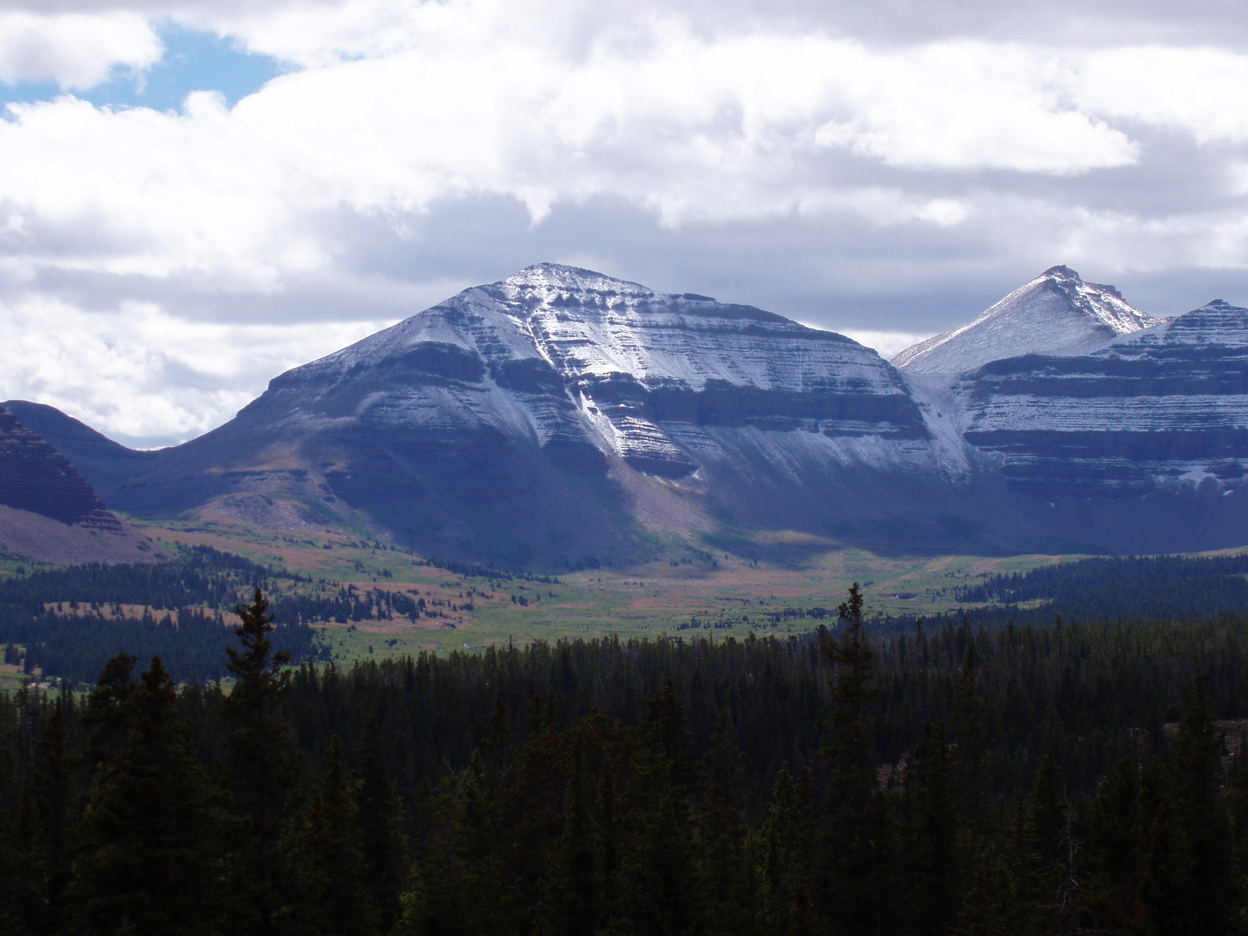
Mountains in Utah are numerous and have varying elevations and prominences. Kings Peak, in the Uinta Mountains in Duchesne County, Utah, is the highest point in the state and has the greatest prominence. It has elevation and prominence . It also has topographic isolation of , highest amongst summits of Utah having at least 500 meters of prominence. For lists of the top 50 peaks in Utah by elevation, prominence, and topographic isolation, see List of mountain peaks of Utah. This "List of mountains in Utah" should include all of those (but does not yet) and more. To see locations of all mountains having coordinates in this article (primarily from just three counties in the state, so far) together in one map, click on "Map all coordinates using OSM" at the right side of this page. Partial lists of mountains in just a few of Utah's 29 counties are below. Salt Lake County Mountains in Salt Lake County, Utah include: Utah County Mountains in Utah County, Utah i ... [...More Info...] [...Related Items...] OR: [Wikipedia] [Google] [Baidu] |
Hydrothermal Circulation
Hydrothermal circulation in its most general sense is the circulation of hot water (Ancient Greek ὕδωρ, ''water'',Liddell, H.G. & Scott, R. (1940). ''A Greek-English Lexicon. revised and augmented throughout by Sir Henry Stuart Jones. with the assistance of. Roderick McKenzie.'' Oxford: Clarendon Press. and θέρμη, ''heat'' ). Hydrothermal circulation occurs most often in the vicinity of sources of heat within the Earth's crust. In general, this occurs near volcanic activity, but can occur in the shallow to mid crust along deeply penetrating fault irregularities or in the deep crust related to the intrusion of granite, or as the result of orogeny or metamorphism. Seafloor hydrothermal circulation Hydrothermal circulation in the oceans is the passage of the water through mid-oceanic ridge systems. The term includes both the circulation of the well-known, high-temperature vent waters near the ridge crests, and the much-lower-temperature, diffuse flow of water through sedim ... [...More Info...] [...Related Items...] OR: [Wikipedia] [Google] [Baidu] |
Breccia
Breccia () is a rock composed of large angular broken fragments of minerals or rocks cemented together by a fine-grained matrix. The word has its origins in the Italian language, in which it means "rubble". A breccia may have a variety of different origins, as indicated by the named types including sedimentary breccia, tectonic breccia, igneous breccia, impact breccia, and hydrothermal breccia. A megabreccia is a breccia composed of very large rock fragments, sometimes kilometers across, which can be formed by landslides, impact events, or caldera collapse. Types Breccia is composed of coarse rock fragments held together by cement or a fine-grained matrix. Like conglomerate, breccia contains at least 30 percent of gravel-sized particles (particles over 2mm in size), but it is distinguished from conglomerate because the rock fragments have sharp edges that have not been worn down. These indicate that the gravel was deposited very close to its source area, since otherwise th ... [...More Info...] [...Related Items...] OR: [Wikipedia] [Google] [Baidu] |
Pseudotachylyte
Pseudotachylyte (sometimes written as pseudotachylite) is an extremely fine-grained to glassy, dark, cohesive rock occurring as veinsTrouw, R.A.J., C.W. Passchier, and D.J. Wiersma (2010) ''Atlas of Mylonites- and related microstructures.'' Springer-Verlag, Berlin, Germany. 322 pp. that form through frictional melting and subsequent quenching during earthquakes, large-scale landslides, and impacts events. Chemical composition of pseudotachylyte generally reflects the local bulk chemistry, though may skew to slightly more mafic compositions due to the preferential incorporation of hydrous and ferro-magnesian minerals (mica and amphibole, respectively) into the melt phase. Pseudotachylyte was first documented by Shand in the Vredefort Impact Structure and was named due to its close resemblance to tachylyte, a basaltic glass. Though pseudotachylyte is reported to have a glassy appearance, they are extremely susceptible to alteration and are thus rarely found to be entirely composed ... [...More Info...] [...Related Items...] OR: [Wikipedia] [Google] [Baidu] |
Paleozoic
The Paleozoic (or Palaeozoic) Era is the earliest of three geologic eras of the Phanerozoic Eon. The name ''Paleozoic'' ( ;) was coined by the British geologist Adam Sedgwick in 1838 by combining the Greek words ''palaiós'' (, "old") and ''zōḗ'' (), "life", meaning "ancient life" ). It is the longest of the Phanerozoic eras, lasting from , and is subdivided into six geologic periods (from oldest to youngest): # Cambrian # Ordovician # Silurian # Devonian # Carboniferous # Permian The Paleozoic comes after the Neoproterozoic Era of the Proterozoic Eon and is followed by the Mesozoic Era. The Paleozoic was a time of dramatic geological, climatic, and evolutionary change. The Cambrian witnessed the most rapid and widespread diversification of life in Earth's history, known as the Cambrian explosion, in which most modern phyla first appeared. Arthropods, molluscs, fish, amphibians, reptiles, and synapsids all evolved during the Paleozoic. Life began in the ocean ... [...More Info...] [...Related Items...] OR: [Wikipedia] [Google] [Baidu] |
Little Cottonwood Canyon
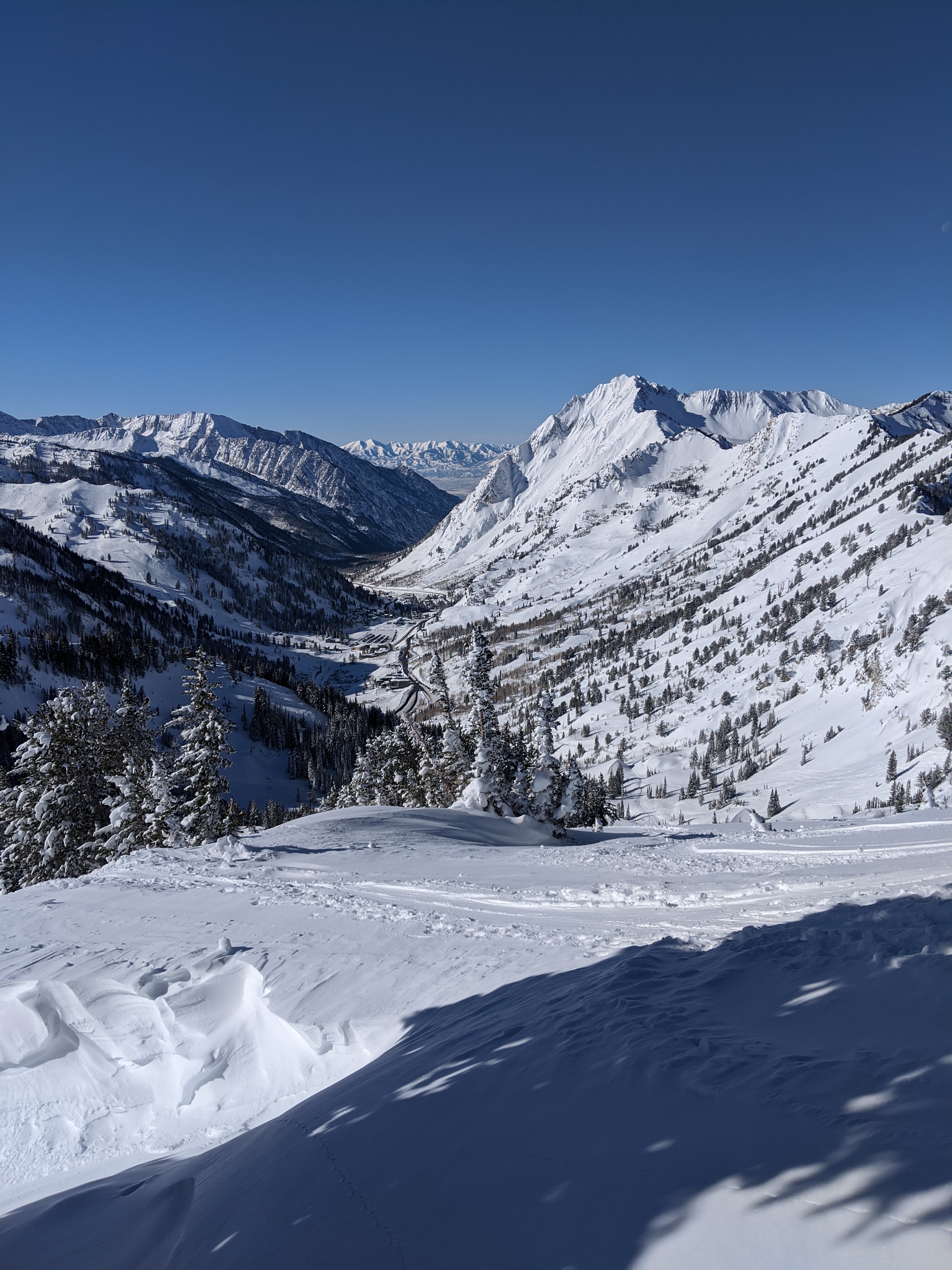
Little Cottonwood Canyon lies within the Wasatch-Cache National Forest along the eastern side of the Salt Lake Valley, roughly 15 miles from Salt Lake City, Utah. The canyon is part of Granite, a CDP and "Community Council" designated by Salt Lake County. The canyon is a glacial trough ("U" shaped canyon), carved by an alpine glacier during the last ice age, 15,000 to 25,000 years ago. A number of rare and endemic plant species are found in the canyon's Albion Basin. Mountain goats inhabit the surrounding mountains. The Salt Lake Temple of the LDS Church was built of blocks of quartz monzonite, granite, and granodiorite which Latter Day Saint pioneers quarried from the Little Cottonwood Stock near the mouth of the canyon. State Route 210 is the primary access road to the canyon, running from the canyon mouth up to Alta. Little Cottonwood Creek runs down the length of the canyon, beginning at Cecret Lake at Alta and flowing westward. Geology The Little Cottonwood stock i ... [...More Info...] [...Related Items...] OR: [Wikipedia] [Google] [Baidu] |
National Guard (United States)
The National Guard is a state-based military force that becomes part of the reserve components of the United States Army and the United States Air Force when activated for federal missions.National Guard: FAQ . . Accessed February 2, 2022. It is a composed of National Guard military members or units of each state and the territories of , the |


.jpg)


