|
Trams In Fremantle
The Fremantle tramway network linked the central business district of Fremantle, the port city for Perth, Western Australia, with nearby suburbs. Small but comprehensive, it operated between 1905 and 1952. It was not connected with the larger Perth tramway system. History The Fremantle Municipal Tramways (FMT) began operations on 30 October 1905. Prior to that date, there was no public transport system in Fremantle. The tram network expanded into North Fremantle in 1908, and into Melville in 1915. The North Fremantle line closed in 1938 and was replaced by diesel buses. The rest of the network reached its peak usage during World War II. After World War II, the system operated quite profitably for the Council. However, the decision of the State Government to nationalise the south-west electricity systems from private and council ownership to the newly formed State Electricity Commission in the early 1950s meant that the price of power to the trams increased markedly, to the ... [...More Info...] [...Related Items...] OR: [Wikipedia] [Google] [Baidu] |
Fremantle
Fremantle () () is a port city in Western Australia, located at the mouth of the Swan River in the metropolitan area of Perth, the state capital. Fremantle Harbour serves as the port of Perth. The Western Australian vernacular diminutive for Fremantle is Freo. Prior to British settlement, the indigenous Noongar people inhabited the area for millennia, and knew it by the name of Walyalup ("place of the woylie")."(26/3/2018) Inaugural Woylie Festival starts tomorrow" fremantle.gov.au. Retrieved 5 July 2020. Visited by in the 1600s, Fremantle was the first area settled by ... [...More Info...] [...Related Items...] OR: [Wikipedia] [Google] [Baidu] |
State Electricity Commission Of Western Australia
The State Electricity Commission of Western Australia (known by its acronym SEC) was a government owned and managed Western Australia energy provider. It was established in 1945. It saw the introduction of piped gas into the south west of the state, as well as other infrastructure developments in its time. It was changed in 1975 to the State Energy Commission of Western Australia and reorganized in 2006 into Western Power, Synergy, Alinta, Verve Energy and Horizon Power Horizon Power is a commercially focused, state government-owned, power company that provides power supplies to Western Australia. It is responsible for generating, procuring, distributing and retailing electricity to residential, industrial and co .... References External links Australian Science at Work - State Electricity Commission of Western Australia (1945 - 1975) Energy in Western Australia Defunct government agencies of Western Australia {{WesternAustralia-stub ... [...More Info...] [...Related Items...] OR: [Wikipedia] [Google] [Baidu] |
Beaconsfield, Western Australia
Beaconsfield is a suburb of Perth, Western Australia, located within the City of Fremantle. It was named after a property of the same name in the area in the 1880s; the name was officially adopted from the post office on 1 August 1894. The name's origin is unknown, but it probably comes from the town in England or the Earl of Beaconsfield, Benjamin Disraeli, a former Conservative Prime Minister of the United Kingdom. Beaconsfield is predominantly a low to medium density residential suburb with extensive community facilities including Fremantle College, several primary schools, and an array of open space recreation reserves and local shops. Facilities and amenities Parks and playgrounds *Beacy Park *Davis Park *Dick Lawrence Oval *Hilton Park Soccer Fields *Ken Allen Field *James Moore Pioneer Park *Bruce Lee Reserve Transport facilities *Bus routes available Schools and education There are a number of schools in the suburb including several primary and one high school. *Beaco ... [...More Info...] [...Related Items...] OR: [Wikipedia] [Google] [Baidu] |
Hampton Road
Hampton Road is the main road entering the Fremantle, Western Australia, City of Fremantle from the south. It is named after John Stephen Hampton, the Governor of Western Australia from 1862 to 1868. It continues into Ord Street, Fremantle, Ord Street at the north east corner of Fremantle Prison at Knutsford Street. Heritage buildings and operations in historical properties occur along the length of the road; they include the Fremantle Children's Literature Centre, Hampton Road reserve, Bundi Kudja, and St Pauls Anglican Church in Beaconsfield. At the Cockburn Road and Rockingham Road, Perth, Rockingham Road intersection, which forms the southern terminus of the road, traffic bound for Fremantle arrives from Spearwood, Western Australia, Spearwood and Kwinana Beach, Western Australia, Kwinana further south, and is brought through a high-density residential area, and past Fremantle Hospital and Fremantle Prison, two of Fremantle's landmarks. Major intersections All intersection ... [...More Info...] [...Related Items...] OR: [Wikipedia] [Google] [Baidu] |
Fremantle Cemetery
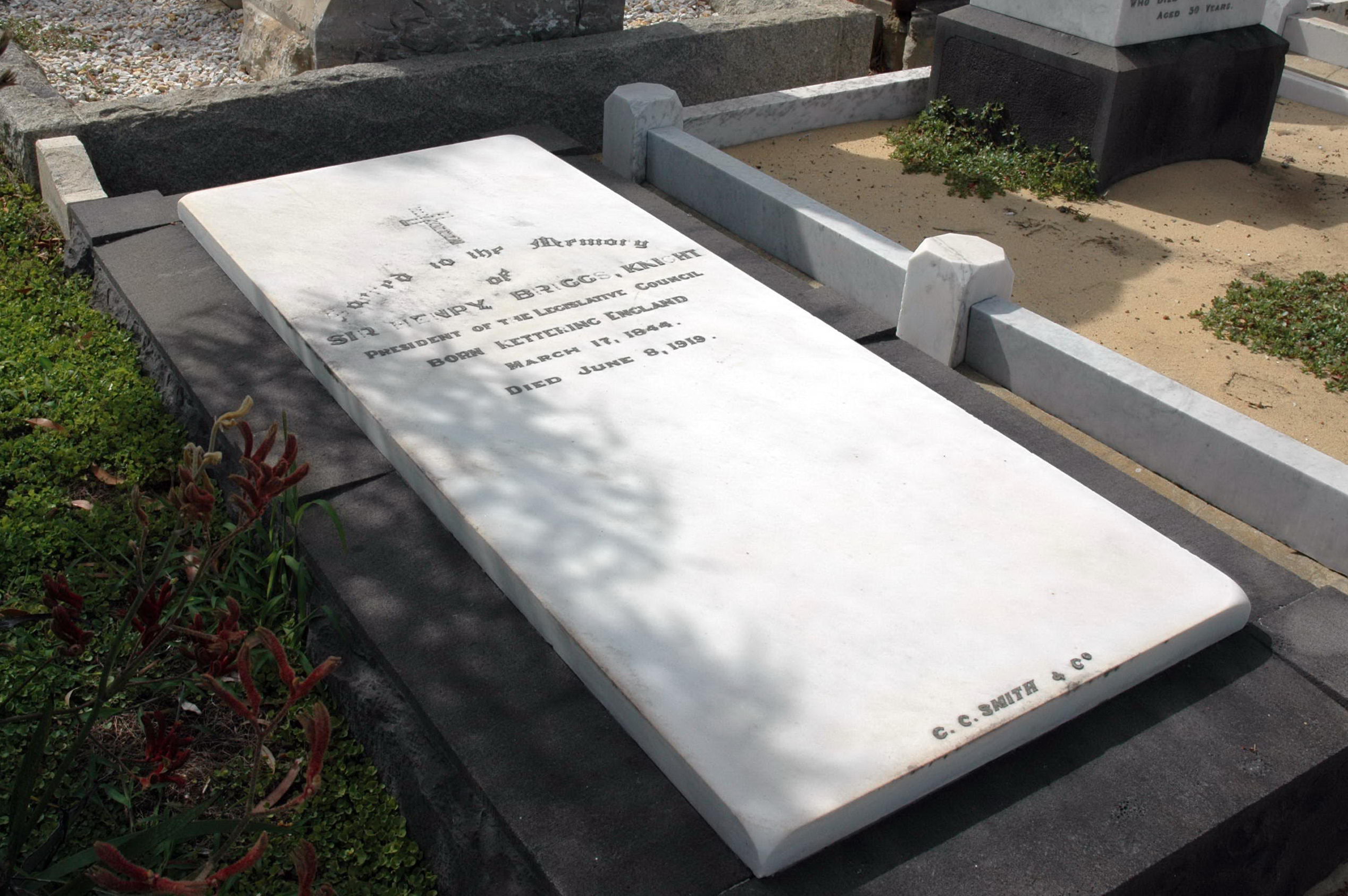
Fremantle Cemetery is a cemetery located in the eastern part (Palmyra) of Fremantle, Western Australia. Established in 1898, it is known as the final resting place of Bon Scott, several murderers and dozens of other notable Australians. There have been over 60,000 cremations and over 40,000 burials there. The grave of Scott, the AC/DC singer, has been said to be the most visited grave in Australia. History Fremantle Cemetery covers and dates to 1898.Fremantle Cemetery , Metropolitan Cemeteries Board, accessed 28 August 2013 It is the third public cemetery in Fremantle. The first was in Alma Street, which closed in 1855 and is now a primary school. The second, at Skinner Street, started in 1852 and was operating until 1899, when this cemetery was already open. Burials were transferred by families from earlier cem ... [...More Info...] [...Related Items...] OR: [Wikipedia] [Google] [Baidu] |
Bicton, Western Australia
Bicton is an affluent riverside List of Perth suburbs, suburb of Perth, Western Australia, located Ordinal directions, south-west of the Perth central business district, central business district. The suburb is mostly residential, and falls within the City of Melville local government area. Bicton borders the Swan River (Western Australia), Swan River to the north, with the northern third of the suburb taken up by a Class-A nature reserve, reserve at Point Walter. Originally settled in the 1830s, when a large vineyard was established, Bicton was mainly rural until the subdivision of the former Bicton Racecourse, beginning in 1919. Further subdivisions of the Castle Hill area in 1921 established the suburb as a middle-class area of Fremantle. Bicton underwent further expansion after the conclusion of World War II. Now with a large demographic of business owners and high net worth individuals, Bicton is considered one of the most affluent riverside suburbs in Perth. History Prior ... [...More Info...] [...Related Items...] OR: [Wikipedia] [Google] [Baidu] |
Palmyra, Western Australia
Palmyra is a suburb of Perth, Western Australia, located within the City of Melville The City of Melville is a local government area in the southern suburbs of the Western Australian capital city of Perth, east of the port city of Fremantle and about south of Perth's central business district. The City covers an area of .... The suburb east of Fremantle appears to have been first established as the Palmyra Estate in 1903. The north-eastern corner of Palmyra is some from the Perth G.P.O. The W.A. State Primary School the corner of what was then McKimmie Street (now McKimmie Road) between Zenobia and Aurelian Streets, was established in 1913. Its first Centenary was celebrated enthusiastically by students, residents and past pupils on Saturday 9 November 2013. There is also a School associated with the Catholic Our Lady of Fatima Church at 8 Foss Street. The St Peter and St Mark Anglican Church is a 2 Hammad Road. The Uniting Church is at the corner of Carrington Str ... [...More Info...] [...Related Items...] OR: [Wikipedia] [Google] [Baidu] |
East Fremantle, Western Australia
East Fremantle (nicknamed East Freo) is a suburb of Perth, Western Australia, located south-west of the central business district. The suburb is mainly residential, and is coterminous with the Town of East Fremantle local government area. Previously serving as an outer, rural area of Fremantle, most of the present-day suburb was originally developed in the late 1890s and early 1900s as a result of the Western Australian gold rushes. Further development occurred in the late 1940s and 1950s to provide dwellings for new immigrants. Two major arterial roads – Canning Highway and Stirling Highway – pass through the suburb, which is also bounded to the north by the Swan River. History Early history Prior to European settlement, the Noongar people obtained food and drinking water from the river edges and open grassy areas. Shortly after the establishment of the Swan River Colony, a track linking Perth to Fremantle was documented through the area. In April 1833, a report spread ... [...More Info...] [...Related Items...] OR: [Wikipedia] [Google] [Baidu] |
Canning Highway
Canning Highway is an arterial road in Perth, Western Australia, linking the inner Perth suburb of Victoria Park in the north-east, to the port city of Fremantle in the south-west. The road is mostly a four-lane divided carriageway, with a general speed limit of . It is located immediately south of the Swan River and runs between The Causeway in Victoria Park and Queen Victoria Street in Fremantle. The Canning Highway was the inspiration for the AC/DC song "Highway to Hell" as it had a reputation for accidents and led to many of singer Bon Scott's favourite pubs and hotels, including the Raffles Hotel. History Canning Highway is named after the river which it crosses, which was in turn named after George Canning (1770–1827), an eminent British statesman who for a brief period was Prime Minister of Great Britain. The modern highway was formally commenced in the 1920s, with major work commencing in 1927 to upgrade an section between Suburban Street, South Perth (now Mill ... [...More Info...] [...Related Items...] OR: [Wikipedia] [Google] [Baidu] |
Fremantle Railway Station
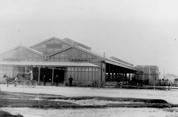
Fremantle railway station is the terminus of Transperth's Fremantle line in Western Australia. History The original Fremantle station opened in Cliff Street on 1 March 1881 as the terminus of the Eastern Railway to Guildford via Perth. As the Eastern Railway was extended its importance grew, becoming an important hub for gold miners arriving in Western Australia via ship and then travelling to the Yilgarn and Eastern Goldfields when the line opened to Kalgoorlie in 1896. In 1907, a new station and marshalling yards were established 300 metres to the north-east on the site of the former Fremantle Railway Workshops to better service the newly constructed Fremantle Harbour. The station was designed by William Dartnall, Chief Engineer of Existing Lines of the Railway Department in 1905. The construction contract, at an estimated cost of £80,000, was awarded in May 1906 to S.B. Alexander and completed on 20 April 1907, with the official opening on 1 July 1907. Originally, ... [...More Info...] [...Related Items...] OR: [Wikipedia] [Google] [Baidu] |
South Fremantle, Western Australia
South Fremantle is a suburb of Perth, Western Australia, located within the City of Fremantle. History The first development in the area may have been when Richard Goldsmith Meares established a lime-burning kiln in 1831. Meares had arrived at the Swan River Colony with Thomas Peel in the previous year. As the area was adjacent to the relatively safe harbour of Owen's Anchorage in Cockburn Sound, the area began to be used as an alternative destination point for ship arrivals. In 1898, a railway was built from Fremantle to Robb Jetty. At that time, an abattoir was built for slaughter of livestock arriving from the north-west of the state including the Kimberley region of Western Australia, Kimberley Region. Livestock were unloaded from the ships onto a jetty. Extensive pasturing for the animals as well as small market gardens were established in the region around the abattoir. The Coogee Hotel, Western Australia, Coogee Hotel was built in 1901, and in 1903 the railway was ex ... [...More Info...] [...Related Items...] OR: [Wikipedia] [Google] [Baidu] |
South Terrace, Fremantle
South Terrace, Fremantle is a road in Fremantle, Western Australia that is renowned as the "Cappucino Strip" of Fremantle, due to the high number of coffee shops and restaurants. South Terrace extends from Market Street southwards, parallel to the coast, for to Ocean Road. It is also the location of the Fremantle Technical College, Fremantle Markets, and Fremantle Hospital, along with a significant number of heritage buildings. A number of historic hotels are on South Terrace, including the Sail and Anchor (formerly the Freemasons Hotel), the Newport, Norfolk Norfolk () is a ceremonial and non-metropolitan county in East Anglia in England. It borders Lincolnshire to the north-west, Cambridgeshire to the west and south-west, and Suffolk to the south. Its northern and eastern boundaries are the No ..., Davilak and South Beach hotels. See also Notes :* External links * {{Attached KML, display=inline,title Streets in Fremantle Restaurant districts and s ... [...More Info...] [...Related Items...] OR: [Wikipedia] [Google] [Baidu] |


.jpg)


