|
Toltingtrough
Toltingtrough (or Toltingtrow) was a hundred in the Lathe of Aylesford in the county of Kent, England. This hundred is called, in some ancient writings, Toltetern and Tollentr, and in Domesday, Tollentru. In the return made of the several knights fees throughout England, by inquisition into the exchequer, in the 7th year of king Edward I, the archbishop of Canterbury appears to have been then lord of this Hundred. In the 20th year of king Edward III, on the levying 40 shillings on every knight's fee, this Hundred answered for four knights fees and a half.See The History and Topographical Survey of the County of Kent: Volume 1, author:Edward Hasted, publ. 1797 The hundred included the parishes of * Gravesend * Ifield * Luddesdown * Meopham * Milton * Northfleet * Nurstead The town of Gravesend & Milton was incorporated during the reign of Elizabeth I Elizabeth I (7 September 153324 March 1603) was List of English monarchs, Queen of England and List of Irish mona ... [...More Info...] [...Related Items...] OR: [Wikipedia] [Google] [Baidu] |
Singlewell Or Ifield
Singlewell or Ifield is the name given to the area south of Gravesend in Kent, England. Originally two separate settlements on either side of Watling Street, it is now separated by the A2 road and the Channel Tunnel Rail Link and bears little resemblance to its past. Singlewell Road leads from Gravesend town southwards to the A2, linking with Hever Court Road just to the north of the former site of the A2. The A2 was moved to the South in the 2000s, allowing a widening from three to four lanes in each direction. The carriageways were then turned into a parkland area. Singlewell is one of the highest points in Gravesham, including Marling Cross, which forms the junction at Gravesend East on the A2, which is the highest point in the Borough. The name Singlewell, originally ''Shinglewell'' – and not therefore referring to it having the only well in the district – and its eponymous ancient well with ancient origins has now come to mean the area now part of the built-up area of ... [...More Info...] [...Related Items...] OR: [Wikipedia] [Google] [Baidu] |
Aylesford
Aylesford is a village and civil parish on the River Medway in Kent, England, northwest of Maidstone. Originally a small riverside settlement, the old village comprises around 60 houses, many of which were formerly shops. Two pubs, a village shop and other amenities including a hairdresser, estate agent, two restaurants, a chiropodist and a coffee shop are located on the high street. Aylesford's current population is around 5,000. The Parish of Aylesford covers more than , stretching north to Rochester Airport estate and south to Barming, and has a total population of over 10,000 (as of 2011), with the main settlements at Aylesford, Eccles, Blue Bell Hill and (part of) Walderslade. Aylesford Newsprint was a long-established major employer in the area and was the largest paper recycling factory in Europe, manufacturing newsprint for the newspaper industry. In 2015, Aylesford Paper Mill, as it was known by local residents, was closed down and stripped of all its assets. Hi ... [...More Info...] [...Related Items...] OR: [Wikipedia] [Google] [Baidu] |
Nurstead
Nurstead (or Nursted) is a locality, ecclesiastical parish and former civil parish situated 3 miles south of Gravesend and ½ a mile north of Meopham, Kent, England. The parish was in the Hundred of Toltingtrough in the Lathe of Aylesford in the county of Kent. It has an area of 522 acres. The name of the parish was "Notestede" in the Domesday Book, but by the 18th century although formally spelled "Nutsted" it was at this time commonly called Nursted. It is at present in the civil parish of Meopham, which is divided into three wards, one of which bears the name "Hook Green and Nurstead". Nurstead has a small 14th-century church, dedicated to Saint Mildred and this is still the church of the parish, although the benefice is united with Meopham. St Mildred's church is a listed building with walls of oblong flints. A quarter of a mile north of the church is Nurstead Court, one of the most famous small medieval houses in the country. The civil parish was abolished in 1935 ... [...More Info...] [...Related Items...] OR: [Wikipedia] [Google] [Baidu] |
Meopham
Meopham is a large linear village and civil parish in the Borough of Gravesham in Kent, England, lying to the south of Gravesend. The parish covers , and comprises two villages and two smaller settlements; it has a population of 6,427 increasing slightly to 6,722 at the 2011 census. Meopham village is sometimes described as the longest settlement in England although others such as Brinkworth, Wiltshire make the same claim. Meopham is one of the longest linear settlements in Europe, being in length. History The name of the village derives from ''Meapaham'' (Meapa's village): it is first recorded in 788, in the reign of King Offa. The modern pronunciation of the name comes from different ways of writing and spelling. Benedictine monks established a priory hospital at Meopham in the 12th century and throughout the Middle Ages three medieval manor houses - those of Meopham, Dodmore and Nurstead - governed the land now encompassing the parish. Edward Hasted in 1797 described the ... [...More Info...] [...Related Items...] OR: [Wikipedia] [Google] [Baidu] |
Northfleet
Northfleet is a town in the borough of Gravesham in Kent, England. It is located immediately west of Gravesend, and on the border with the Borough of Dartford. Northfleet has its own railway station on the North Kent Line, just east of Ebbsfleet International railway station on the High Speed 1 line. The area Northfleet's name is derived from being situated on the northern reach of what was once called the River Fleet (today known as the Ebbsfleet River). There is a village at the other end of the river named Southfleet. It has been the site of a settlement on the shore of the River Thames adjacent to Gravesend since Roman times. It was known as ''Fleote'' by the Saxons c. 600 AD, ''Flyote'' c. 900 AD, and ''Flete'' c. 1000 AD. It was recorded as ''Norfluet'' in the Domesday Book, and ''Northflet'' in 1201. By 1610 the name of Northfleet had become established. A battle took place during the Civil War at the Stonebridge over the Ebbsfleet river. Northfleet became a town in 187 ... [...More Info...] [...Related Items...] OR: [Wikipedia] [Google] [Baidu] |
Strood Rural District
Strood Rural District was a rural district in the county of Kent, England. It was subject to boundary reforms in 1934 and 1935. It consisted of the following civil parishes:http://www.visionofbritain.org.uk/relationships.jsp?u_id=10074137&c_id=10001043 * Allhallows (1935—1974; gained from Hoo Rural District) *Chalk (1894—1935; abolished and transferred to the Municipal Borough of Gravesend) * Cliffe * Cobham *Cooling (1935—1974; gained from Hoo Rural District) *Cuxton *Denton (1894—1935; abolished and transferred to the Municipal Borough of Gravesend) * Frindsbury Extra (part transferred to the City of Rochester in 1934) * Halling * Higham *High Halstow (1935—1974; gained from Hoo Rural District) *Hoo St Werburgh (1935—1974; gained from Hoo Rural District) * Ifield (1894—1935; abolished and split between Cobham and the Municipal Borough of Gravesend) *Isle of Grain (1935—1974; gained from Hoo Rural District) * Luddesdown *Meopham * Nurstead *Shorne * St Mary ... [...More Info...] [...Related Items...] OR: [Wikipedia] [Google] [Baidu] |
Borough Of Gravesham
Gravesham ( ) is a local government district with borough status in north-west Kent, England. Its administrative centre and largest town is Gravesend, which was known as ''Gravesham'' in ancient times. Gravesham was formed on 1 April 1974 by the merger of the Municipal Borough of Gravesend with Northfleet Urban District and part of Strood Rural District, under the Local Government Act 1972. It borders the Borough of Dartford and Sevenoaks District to the west, the Borough of Tonbridge and Malling to the south, the Medway unitary authority to the east and the Thurrock unitary authority of Essex to the north, via the River Thames. Gravesham is twinned with Cambrai in Hauts-de-France, France. The present borders of Gravesham parliamentary constituency are almost the same as those of the borough. History Robert Heath Hiscock LL.B., F.S.A., Chairman of the Gravesend Historical Society, in the foreword to his book, 'A History of Gravesend' (Phillimore, 1976) wrote: :"The name Gra ... [...More Info...] [...Related Items...] OR: [Wikipedia] [Google] [Baidu] |
Elizabeth I
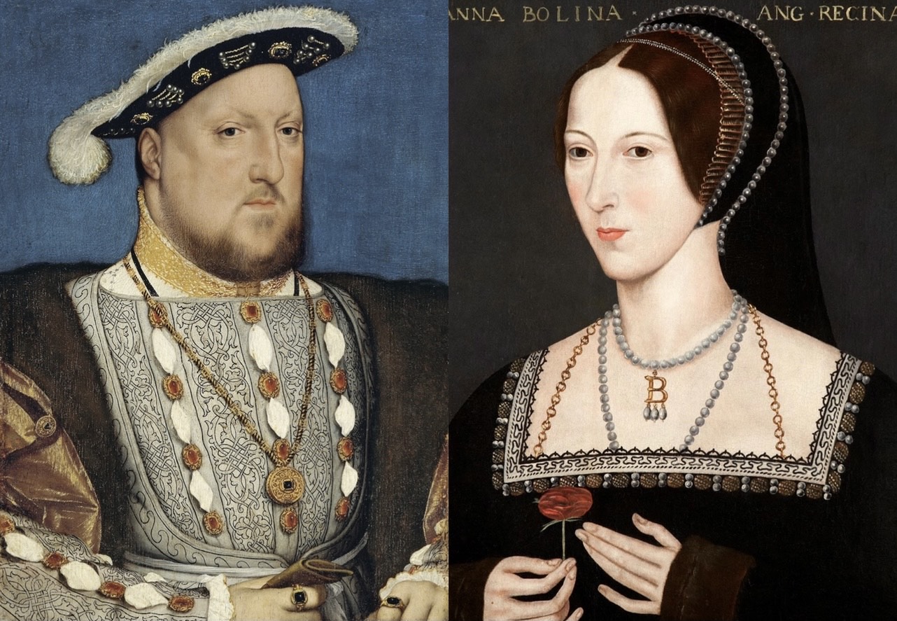
Elizabeth I (7 September 153324 March 1603) was Queen of England and Ireland from 17 November 1558 until her death in 1603. Elizabeth was the last of the five House of Tudor monarchs and is sometimes referred to as the "Virgin Queen". Elizabeth was the daughter of Henry VIII and Anne Boleyn, his second wife, who was executed when Elizabeth was two years old. Anne's marriage to Henry was annulled, and Elizabeth was for a time declared illegitimate. Her half-brother Edward VI ruled until his death in 1553, bequeathing the crown to Lady Jane Grey and ignoring the claims of his two half-sisters, the Catholic Mary and the younger Elizabeth, in spite of statute law to the contrary. Edward's will was set aside and Mary became queen, deposing Lady Jane Grey. During Mary's reign, Elizabeth was imprisoned for nearly a year on suspicion of supporting Protestant rebels. Upon her half-sister's death in 1558, Elizabeth succeeded to the throne and set out to rule by good counsel. She ... [...More Info...] [...Related Items...] OR: [Wikipedia] [Google] [Baidu] |
Milton-next-Gravesend
Milton-next-Gravesend is an ecclesiastical parish in the north-west of Kent, England, which is now part of the Gravesend built-up area. History Feudal ownership of land in the parish was the subject of a legal action of 1076, ''Abbot Scotland v Hamo the Sherrif'' ic leading to St Augustine's Abbey, Canterbury taking back its stake in ownership.'Houses of Benedictine monks: The abbey of St Augustine, Canterbury', in A History of the County of Kent: Volume 2, ed. William Page (London, 1926), pp. 126-133. British History Online http://www.british-history.ac.uk/vch/kent/vol2/pp126-133 ccessed 28 February 2020 Neighbouring Gravesend became a town under Royal Charter in the 13th century and included Milton. The Church of England's founding was heralded by Henry VIII's split with Rome and the Dissolution of the Monasteries by which all of the abbots were retired, and their institutions' endowments – such as in this parish – were confiscated. Until about the 1840s, much of the ... [...More Info...] [...Related Items...] OR: [Wikipedia] [Google] [Baidu] |
Gravesend
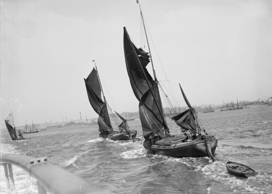
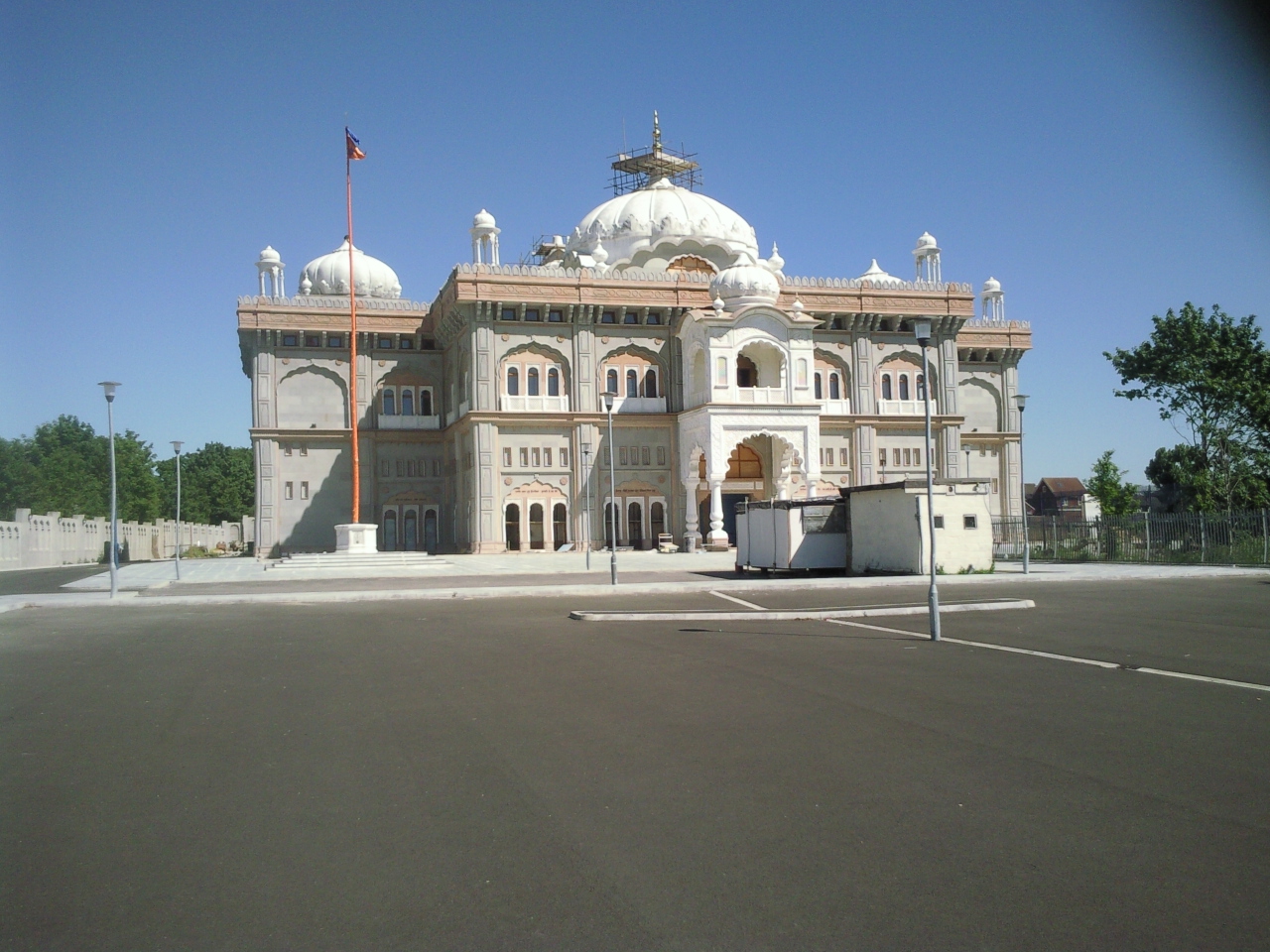
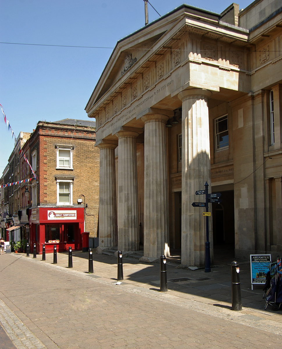
Gravesend is a town in northwest Kent, England, situated 21 miles (35 km) east-southeast of Charing Cross (central London) on the Bank (geography), south bank of the River Thames and opposite Tilbury in Essex. Located in the diocese of Rochester, it is the administrative centre of the Gravesham, Borough of Gravesham. Its geographical situation has given Gravesend strategic importance throughout the maritime history, maritime and History of communication, communications history of South East England. A Thames Gateway commuter town, it retains strong links with the River Thames, not least through the Port of London Authority Pilot Station and has witnessed rejuvenation since the advent of High Speed 1 rail services via Gravesend railway station. The station was recently refurbished and now has a new bridge. Toponymy Recorded as Gravesham in the Domesday Book of 1086 when it belonged to Odo, Earl of Kent and Roman Catholic Diocese of Bayeux, Bishop of Bayeux, the half-broth ... [...More Info...] [...Related Items...] OR: [Wikipedia] [Google] [Baidu] |
Milton, Kent
Milton-next-Gravesend is an ecclesiastical parish in the north-west of Kent, England, which is now part of the Gravesend built-up area. History Feudal ownership of land in the parish was the subject of a legal action of 1076, ''Abbot Scotland v Hamo the Sherrif'' ic leading to St Augustine's Abbey, Canterbury taking back its stake in ownership.'Houses of Benedictine monks: The abbey of St Augustine, Canterbury', in A History of the County of Kent: Volume 2, ed. William Page (London, 1926), pp. 126-133. British History Online http://www.british-history.ac.uk/vch/kent/vol2/pp126-133 ccessed 28 February 2020 Neighbouring Gravesend became a town under Royal Charter in the 13th century and included Milton. The Church of England's founding was heralded by Henry VIII's split with Rome and the Dissolution of the Monasteries by which all of the abbots were retired, and their institutions' endowments – such as in this parish – were confiscated. Until about the 1840s, much of the ... [...More Info...] [...Related Items...] OR: [Wikipedia] [Google] [Baidu] |
Luddesdown
Luddesdown () is a civil parish in the Gravesham District of Kent, England. Geography This very rural parish, forming part of the North Downs Area of Outstanding Natural Beauty, is located in a dry valley to the south of Gravesend and is named after a scattered group of houses and farms around ''Luddesdown Court'' and its church next to it. The civil parish also contains its main neighbourhood or street, Henley Street, and separate hamlets of Great Buckland (though split down the side with Snodland having essentially the Church) and Boughurst Street to the south; the valley narrows quickly the south to the appropriately named Buckland at the top of the dry valley floor. In this steep valley, facing west, is a vineyard, Monk's Vineyard; east are these woods: College, Haydown, Brazenden, Scrubes, Wrenches, Goss Hilly and Red Wood to the north east. Apart from this eastern edge, there are Fowles/Brimp, Luxon, Molehill, Freezelands, Round, Tom Loft's, Longfield and Henley Woods. Th ... [...More Info...] [...Related Items...] OR: [Wikipedia] [Google] [Baidu] |


