|
Tinsley, Mississippi
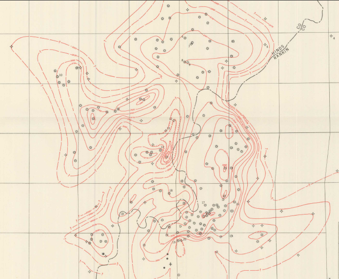
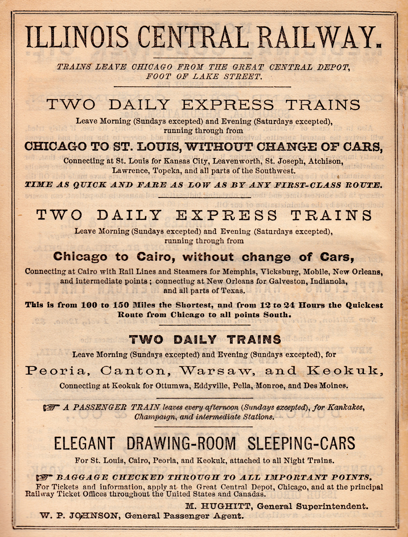
Tinsley is an unincorporated community located in Yazoo County, Mississippi, United States. Tinsley is approximately south of Yazoo City and North of Oil City near U.S. Route 49. History Tinsley had a post office, several stores, and a population of 50 in 1907. In 1939, Tinsley Oil Field, located south of the settlement, was the site of the first commercial discovery of oil in Mississippi. A line of the Illinois Central Railroad passes through Tinsley. In 1941, a freight train rear-ended another freight train at Tinsley. The impact derailed 28 cars, including 13 carrying molasses. Education Residents are a part of the Yazoo County School District, and are zoned to Yazoo County Middle School and Yazoo County High School. See also * Jackson Volcano * Mississippi embayment The Mississippi embayment is a physiographic feature in the south-central United States, part of the Mississippi Alluvial Plain. It is essentially a northward continuation of the fluvial sediments of ... [...More Info...] [...Related Items...] OR: [Wikipedia] [Google] [Baidu] |
Unincorporated Area
An unincorporated area is a region that is not governed by a local municipal corporation. Widespread unincorporated communities and areas are a distinguishing feature of the United States and Canada. Most other countries of the world either have no unincorporated areas at all or these are very rare: typically remote, outlying, sparsely populated or List of uninhabited regions, uninhabited areas. By country Argentina In Argentina, the provinces of Chubut Province, Chubut, Córdoba Province (Argentina), Córdoba, Entre Ríos Province, Entre Ríos, Formosa Province, Formosa, Neuquén Province, Neuquén, Río Negro Province, Río Negro, San Luis Province, San Luis, Santa Cruz Province, Argentina, Santa Cruz, Santiago del Estero Province, Santiago del Estero, Tierra del Fuego Province, Argentina, Tierra del Fuego, and Tucumán Province, Tucumán have areas that are outside any municipality or commune. Australia Unlike many other countries, Australia has only local government in Aus ... [...More Info...] [...Related Items...] OR: [Wikipedia] [Google] [Baidu] |
Yazoo City, Mississippi
Yazoo City is a U.S. city in Yazoo County, Mississippi. It was named after the Yazoo River, which, in turn was named by the French explorer Robert La Salle in 1682 as "Rivière des Yazous" in reference to the Yazoo tribe living near the river's mouth. It is the county seat of Yazoo County and the principal city of the Yazoo City Micropolitan Statistical Area, which is part of the larger Jackson–Yazoo City Combined Statistical Area. According to the 2010 census, the population was 11,403. The most important industry in 2021 is a group of federal prisons. History The community now known as Yazoo City was founded in 1824 with the name Hannan's Bluff. It was later renamed Manchester, then changed to Yazoo City in 1841. Yazoo City became the county seat in 1849. A yellow fever epidemic struck Yazoo City in 1853. During the American Civil War, the Confederate ironclad CSS ''Arkansas'' was completed at a makeshift shipyard in Yazoo City after the Confederate loss of New Orleans an ... [...More Info...] [...Related Items...] OR: [Wikipedia] [Google] [Baidu] |
Mississippi Embayment
The Mississippi embayment is a physiographic feature in the south-central United States, part of the Mississippi Alluvial Plain. It is essentially a northward continuation of the fluvial sediments of the Mississippi River Delta to its confluence with the Ohio River at Cairo, Illinois. The current sedimentary area was formed in the Cretaceous and early Cenozoic by the filling with sediment of a pre-existing basin. An explanation for the embayment's formation was put forward by Van Arsdale and Cox in 2007: movement of the earth's crust brought this region over a volcanic " hotspot" in the Earth's mantle causing an upthrust of magma which formed the Appalachian-Ouachita range. Subsequent erosion caused a deep trough that was flooded by the Gulf of Mexico and eventually filled with sediment from the Mississippi River. Geography The embayment is a topographically low-lying basin that is filled with Cretaceous to recent sediments. The northern end of the embayment appears as a ... [...More Info...] [...Related Items...] OR: [Wikipedia] [Google] [Baidu] |
Jackson Volcano
Jackson Volcano is an extinct volcano beneath the city of Jackson, Mississippi, under the Mississippi Coliseum. The uplifted terrain around the volcano forms the Jackson Dome, an area of dense rock clearly noticeable in local gravity measurements. E.W. Hilgard published his theory of an anticline beneath Jackson in 1860 due to his observations of surface strata. The dome contains relatively pure carbon dioxide which is used in oil production in Gulf Coast oil fields. The noble gas data suggests mantle origins with a date of 70 million years for the Jackson Dome intrusion. Geologists have evidence of repeated uplifts accompanied by dike intrusions and volcanic extrusions, erosion, and sedimentation with one coral reef having developed during a submergence. Much of the oil at the crest of the dome volatilized during a late uplift, but oil production wells numbered over a hundred in 1934. Jackson Volcano is believed to have been extinct for at least 66 million years. A hypoth ... [...More Info...] [...Related Items...] OR: [Wikipedia] [Google] [Baidu] |
Yazoo County High School
Yazoo County High School (YCHS) is a public high school in unincorporated Yazoo County, Mississippi, near Yazoo City. Yazoo County High School. Retrieved on July 7, 2017. "191 Panther Drive ~ Yazoo City, MS 39194" It is a part of the . It serves all areas of Yazoo County not in the city limits of Yazoo City. These areas include Benton, Bentonia, and Satartia. ... [...More Info...] [...Related Items...] OR: [Wikipedia] [Google] [Baidu] |
Yazoo County School District
The Yazoo County School District (YCSD) is a public school district headquartered in unincorporated Yazoo County, Mississippi (USA), near Yazoo City. The district serves areas of Yazoo County not in the Yazoo City city limits; its area includes the town of Bentonia, the village of Satartia, the census-designated place of Benton, Text list2010 Map the unincorporated area of Eden, and rural areas. The district previously had its headquarters within the Yazoo City city limits. Schools All schools are in unincorporated areas. *Yazoo County High School *Yazoo County Middle School *Bentonia Gibbs Elementary School ( Bentonia) *Linwood Elementary School (Vaughan) Demographics 2007-08 school year There were a total of 1,763 students enrolled in the Yazoo County School District during the 2007–2008 school year. The gender makeup of the district was 48% female and 52% male. The racial makeup of the district was 52.13% African American, 47.14% White, 0.28% Hispanic, and 0.44% Asian ... [...More Info...] [...Related Items...] OR: [Wikipedia] [Google] [Baidu] |
Illinois Central Railroad
The Illinois Central Railroad , sometimes called the Main Line of Mid-America, was a railroad in the Central United States, with its primary routes connecting Chicago, Illinois, with New Orleans, Louisiana, and Mobile, Alabama. A line also connected Chicago with Sioux City, Iowa (1870). There was a significant branch to Omaha, Nebraska (1899), west of Fort Dodge, Iowa, and another branch reaching Sioux Falls, South Dakota (1877), starting from Cherokee, Iowa. The Sioux Falls branch has been abandoned in its entirety. The Canadian National Railway acquired control of the IC in 1998, and merged its operations in 1999. Illinois Central continues to exist as a paper railroad. History The IC was one of the oldest Class I railroads in the United States. The company was incorporated by the Illinois General Assembly on January 16, 1836. Within a few months Rep. Zadok Casey (D-Illinois) introduced a bill in the U.S. House of Representatives authorizing a land grant to the company to ... [...More Info...] [...Related Items...] OR: [Wikipedia] [Google] [Baidu] |
Oil City, Mississippi
Oil City is an Unincorporated area, unincorporated community located in Yazoo County, Mississippi, Yazoo County, Mississippi. Oil City is approximately west of Anding, Mississippi, Anding, south of Tinsley, Mississippi, Tinsley and approximately northwest of Bentonia, Mississippi, Bentonia. Oil City has a zip code of 39040. In 1939, the Tinsley Oil Field was discovered west of the settlement, which prompted a minor oil boom. In Oil City, "streets and commercial buildings" were "sold to optimistic business interests and speculators." However, development never materialized. Residents are within the Yazoo County School District. Residents are zoned to Yazoo County Middle School and Yazoo County High School. References Unincorporated communities in Yazoo County, Mississippi Unincorporated communities in Mississippi {{YazooCountyMS-geo-stub ... [...More Info...] [...Related Items...] OR: [Wikipedia] [Google] [Baidu] |
Geographic Names Information System
The Geographic Names Information System (GNIS) is a database of name and locative information about more than two million physical and cultural features throughout the United States and its territories, Antarctica, and the associated states of the Marshall Islands, Federated States of Micronesia, and Palau. It is a type of gazetteer. It was developed by the United States Geological Survey (USGS) in cooperation with the United States Board on Geographic Names (BGN) to promote the standardization of feature names. Data were collected in two phases. Although a third phase was considered, which would have handled name changes where local usages differed from maps, it was never begun. The database is part of a system that includes topographic map names and bibliographic references. The names of books and historic maps that confirm the feature or place name are cited. Variant names, alternatives to official federal names for a feature, are also recorded. Each feature receives a per ... [...More Info...] [...Related Items...] OR: [Wikipedia] [Google] [Baidu] |
List Of Sovereign States
The following is a list providing an overview of sovereign states around the world with information on their status and recognition of their sovereignty. The 206 listed states can be divided into three categories based on membership within the United Nations System: 193 UN member states, 2 UN General Assembly non-member observer states, and 11 other states. The ''sovereignty dispute'' column indicates states having undisputed sovereignty (188 states, of which there are 187 UN member states and 1 UN General Assembly non-member observer state), states having disputed sovereignty (16 states, of which there are 6 UN member states, 1 UN General Assembly non-member observer state, and 9 de facto states), and states having a special political status (2 states, both in free association with New Zealand). Compiling a list such as this can be a complicated and controversial process, as there is no definition that is binding on all the members of the community of nations concerni ... [...More Info...] [...Related Items...] OR: [Wikipedia] [Google] [Baidu] |
Area Code 662
Area code 662 is a telephone area code in the North American Numbering Plan (NANP) for the northern half of the U.S. state of Mississippi, including the six counties ( Benton, Coahoma, Desoto, Marshall, Tate and Tunica) that are part of the Memphis metro area. It also includes the cities that are home to the state's two largest universities, Oxford (University of Mississippi or "Ole Miss") and Starkville (Mississippi State University). Area code 662 was created in 1999 in a split from area code 601, Mississippi's original area code created in 1947 as one of the original North American area codes. Prior to October 2021, area code 662 had telephone numbers assigned for the central office code 988. In 2020, ''988'' was designated nationwide as a dialing code for the National Suicide Prevention Lifeline, which created a conflict for exchanges that permit seven-digit dialing. This area code was therefore scheduled to transition to ten-digit dialing by October 24, 2021. In 2022, ... [...More Info...] [...Related Items...] OR: [Wikipedia] [Google] [Baidu] |


