|
Timpanogos Glacier
Timpanogos Glacier is a rock glacier located on Mount Timpanogos in the Wasatch Range within the Mount Timpanogos Wilderness (in the Uinta-Wasatch-Cache National Forest) in northeastern Utah County, Utah, United States, and is the last known glacier in Utah. Description The glacier is situated on the north slope of Mount Timpanogos (). The best evidence indicates that the Timpanogos Glacier was once a "true" glacier with crevasses present in the early 20th century, but that the surface portion was lost during the dust bowl drought of the 1930s and reduced to a permanent snowfield. The glacier is considered to be a rock glacier, since the remaining ice is buried in the talus. However, in 1994 the rocks parted, revealing a crevasse or meltwater channel in the buried ice. One witness described it as being " thick at least." Another crevasse reportedly opened up in the late 1990s or early 2000s. One witness threw a stone in and from the fall time calculated that it was over dee ... [...More Info...] [...Related Items...] OR: [Wikipedia] [Google] [Baidu] |
Emerald Lake (Utah)
Emerald Lake is a small proglacial lake near the summit of Mount Timpanogos in the middle of the Mount Timpanogos Wilderness in the Wasatch Range in northeastern Utah County, Utah, United States. Description The lake is northeast of the summit of Mount Timpanogos, at the base of the almost vertical northeast face of the mountain, with an elevation of . The now mostly vanished and completely buried Timpanogos Glacier left behind a terminal moraine which now impounds the lake. The runoff from the rock glacier feeds the lake and colors it blue. The lake is accessible by hiking, the Mount Timpanogos Trail (also known as the Aspen Grove Trail) from Aspen Grove being the fastest way to reach it. The lake is from the trailhead, or about two-thirds of the way up to the summit. During summer weekends the Timpanogos Emergency Response Team (TERT) stations volunteers at a camp near Emerald Lake to assist with emergency incidents that frequently occur on the mountain. According to some ... [...More Info...] [...Related Items...] OR: [Wikipedia] [Google] [Baidu] |
Dust Bowl
The Dust Bowl was a period of severe dust storms that greatly damaged the ecology and agriculture of the American and Canadian prairies during the 1930s. The phenomenon was caused by a combination of both natural factors (severe drought) and manmade factors (a failure to apply dryland farming methods to prevent wind erosion, most notably the destruction of the natural topsoil by settlers in the region). The drought came in three waves: 1934, 1936, and 1939–1940, but some regions of the High Plains experienced drought conditions for as many as eight years. The Dust Bowl has been the subject of many cultural works, notably the novel ''The Grapes of Wrath'' (1939) by John Steinbeck, the folk music of Woody Guthrie, and photographs depicting the conditions of migrants by Dorothea Lange, particularly the ''Migrant Mother'', taken in 1936. Geographic characteristics and early history With insufficient understanding of the ecology of the plains, farmers had conducted extensive d ... [...More Info...] [...Related Items...] OR: [Wikipedia] [Google] [Baidu] |
Glaciers Of Utah
A glacier (; ) is a persistent body of dense ice that is constantly moving under its own weight. A glacier forms where the accumulation of snow exceeds its ablation over many years, often centuries. It acquires distinguishing features, such as crevasses and seracs, as it slowly flows and deforms under stresses induced by its weight. As it moves, it abrades rock and debris from its substrate to create landforms such as cirques, moraines, or fjords. Although a glacier may flow into a body of water, it forms only on land and is distinct from the much thinner sea ice and lake ice that form on the surface of bodies of water. On Earth, 99% of glacial ice is contained within vast ice sheets (also known as "continental glaciers") in the polar regions, but glaciers may be found in mountain ranges on every continent other than the Australian mainland, including Oceania's high-latitude oceanic island countries such as New Zealand. Between latitudes 35°N and 35°S, glaciers occur only in ... [...More Info...] [...Related Items...] OR: [Wikipedia] [Google] [Baidu] |
Retreat Of Glaciers Since 1850
The retreat of glaciers since 1850 affects the availability of fresh water for irrigation and domestic use, mountain recreation, animals and plants that depend on glacier-melt, and, in the longer term, the level of the oceans. Deglaciation occurs naturally at the end of ice ages, but glaciologists find the current glacier retreat is accelerated by the measured increase of atmospheric greenhouse gases—an effect of climate change. Mid-latitude mountain ranges such as the Himalayas, Rockies, Alps, Cascades, Southern Alps, and the southern Andes, as well as isolated tropical summits such as Mount Kilimanjaro in Africa, are showing some of the largest proportionate glacial losses. Excluding peripheral glaciers of ice sheets, the total cumulated global glacial losses over the 26 year period from 1993–2018 were likely 5500 gigatons, or 210 gigatons per yr.Fox-Kemper, B., H.T. Hewitt, C. Xiao, G. Aðalgeirsdóttir, S.S. Drijfhout, T.L. Edwards, N.R. Golledge, M. Hemer, R.E. Kopp, ... [...More Info...] [...Related Items...] OR: [Wikipedia] [Google] [Baidu] |
List Of Glaciers In The United States
This is a list of glaciers existing in the United States, currently or in recent centuries. These glaciers are located in nine states, all in the Rocky Mountains or farther west. The southernmost named glacier among them is the Lilliput Glacier in Tulare County, east of the Central Valley of California. Glaciers of Alaska There are approximately 664 named glaciers in Alaska according to the Geographic Names Information System (GNIS). * Agassiz Glacier - Saint Elias Mountains *Aialik Glacier - Kenai Peninsula *Alsek Glacier - Glacier Bay * Aurora Glacier - Glacier Bay * Bacon Glacier *Barnard Glacier * Bear Glacier - Aialik Peninsula, Resurrection Bay * Bering Glacier *Black Rapids * Brady Glacier * Brooks Glacier - Alaska Range * Buckskin Glacier - Alaska Range *Burns Glacier (Alaska) - Kenai Mountains *Byron Glacier - Kenai Mountains *Caldwell Glacier - Alaska Range * Cantwell Glacier - Alaska Range * Carroll Glacier - Glacier Bay * Casement Glacier - Glacier Bay * C ... [...More Info...] [...Related Items...] OR: [Wikipedia] [Google] [Baidu] |
Moraine
A moraine is any accumulation of unconsolidated debris ( regolith and rock), sometimes referred to as glacial till, that occurs in both currently and formerly glaciated regions, and that has been previously carried along by a glacier or ice sheet. It may consist of partly rounded particles ranging in size from boulders (in which case it is often referred to as boulder clay) down to gravel and sand, in a groundmass of finely-divided clayey material sometimes called glacial flour. Lateral moraines are those formed at the side of the ice flow, and terminal moraines were formed at the foot, marking the maximum advance of the glacier. Other types of moraine include ground moraines ( till-covered areas forming sheets on flat or irregular topography) and medial moraines (moraines formed where two glaciers meet). Etymology The word ''moraine'' is borrowed from French , which in turn is derived from the Savoyard Italian ("mound of earth"). ''Morena'' in this case was derived from P ... [...More Info...] [...Related Items...] OR: [Wikipedia] [Google] [Baidu] |
Proglacial Lake
In geology, a proglacial lake is a lake formed either by the damming action of a moraine during the retreat of a melting glacier, a glacial ice dam, or by meltwater trapped against an ice sheet due to isostatic depression of the crust around the ice. At the end of the last ice age about 10,000 years ago, large proglacial lakes were a widespread feature in the northern hemisphere. Moraine-dammed The receding glaciers of the tropical Andes have formed a number of proglacial lakes, especially in the Cordillera Blanca of Peru, where 70% of all tropical glaciers are. Several such lakes have formed rapidly during the 20th century. These lakes may burst, creating a hazard for zones below. Many natural dams (usually moraines) containing the lake water have been reinforced with safety dams. Some 34 such dams have been built in the Cordillera Blanca to contain proglacial lakes. Several proglacial lakes have also formed in recent decades at the end of glaciers on the eastern side of ... [...More Info...] [...Related Items...] OR: [Wikipedia] [Google] [Baidu] |
Deseret Digital Media
Deseret Digital Media, Inc. (DDM) is a subsidiary company of Deseret Management Corporation, an American holding company owned by the Church of Jesus Christ of Latter-day Saints. DDM owns newspapers and websites, as well as radio and television stations. Former CEO, Clark Gilbert, was named president of BYU-Idaho in early 2015. Chris Lee was the president of the company after Clark's departure. In 2016, Greg Peterson became the president of the company. DDM was formed in 2009 to run the website operations. Its products include: * DeseretNews.com, the website for the ''Deseret News'' newspaper ** MormonTimes.com, which supports the ''Deseret News'' newspaper's Faith section, '' Mormon Times'' ** ChurchNews.com, which supports the ''Deseret News'' newspaper's weekly supplement, ''Church News'' * KSL.com, which supports the KSL radio stations, KSL-TV station and KSL Classifieds KSL Classifieds is a classified advertisements website covering northern Utah and nearby parts of Idaho ... [...More Info...] [...Related Items...] OR: [Wikipedia] [Google] [Baidu] |
Deseret News
The ''Deseret News'' () is the oldest continuously operating publication in the American west. Its multi-platform products feature journalism and commentary across the fields of politics, culture, family life, faith, sports, and entertainment. The ''Deseret News'' is based in Salt Lake City, Utah and is published by Deseret News Publishing Company, a subsidiary of Deseret Management Corporation, which is owned by the Church of Jesus Christ of Latter-day Saints. The publication's name is from the geographic area of Deseret identified by Utah's pioneer settlers, and much of the publication's reporting is rooted in that region. On January 1, 2021, the newspaper switched from a daily to a weekly print format while continuing to publish daily on the website and Deseret News app. As of 2022, ''Deseret News'' develops daily content for its website and apps in addition to weekly print editions of the Deseret News Local Edition and the Church News. Deseret News publishes 10 editions of D ... [...More Info...] [...Related Items...] OR: [Wikipedia] [Google] [Baidu] |
Brigham Young University
Brigham Young University (BYU, sometimes referred to colloquially as The Y) is a private research university in Provo, Utah. It was founded in 1875 by religious leader Brigham Young and is sponsored by the Church of Jesus Christ of Latter-day Saints (LDS Church). BYU offers a variety of academic programs including those in the liberal arts, engineering, agriculture, management, physical and mathematical sciences, nursing, and law. It has 186 undergraduate majors, 64 master's programs, and 26 doctoral programs. It is broadly organized into 11 colleges or schools at its main Provo campus, with some colleges and divisions defining their own admission standards. The university also administers two satellite campuses, one in Jerusalem and one in Salt Lake City, while its parent organization the Church Educational System (CES) sponsors sister schools in Hawaii and Idaho. The university is accredited by the Northwest Commission on Colleges and Universities. Almost all BYU student ... [...More Info...] [...Related Items...] OR: [Wikipedia] [Google] [Baidu] |
Meltwater Channel
A meltwater channel (or sometimes a glacial meltwater channel) is a channel cut into ice, bedrock or unconsolidated deposits by the flow of water derived from the melting of a glacier or ice-sheet. The channel may form on the surface of, within, beneath, along the margins of or downstream from the ice mass. Accordingly it would be referred to as supraglacial, englacial, subglacial, lateral (or ice-marginal) or proglacial. Different forms of subglacial channel are described in glaciological literature including Nye or N-channels, Röthlisberger or R-channels and Hooke or H-channels. Tunnel valley is a related term descriptive of subglacial channels. Some examples of tunnel valleys in northwest England have also been described as iceways. The depositional landforms known as kames and eskers may often be found in association with meltwater channels. An urstromtal is a proglacial or ice-marginal channel common in Germany and Poland formed during various of the Pleistocene glacia ... [...More Info...] [...Related Items...] OR: [Wikipedia] [Google] [Baidu] |
Emerald Lake From Above
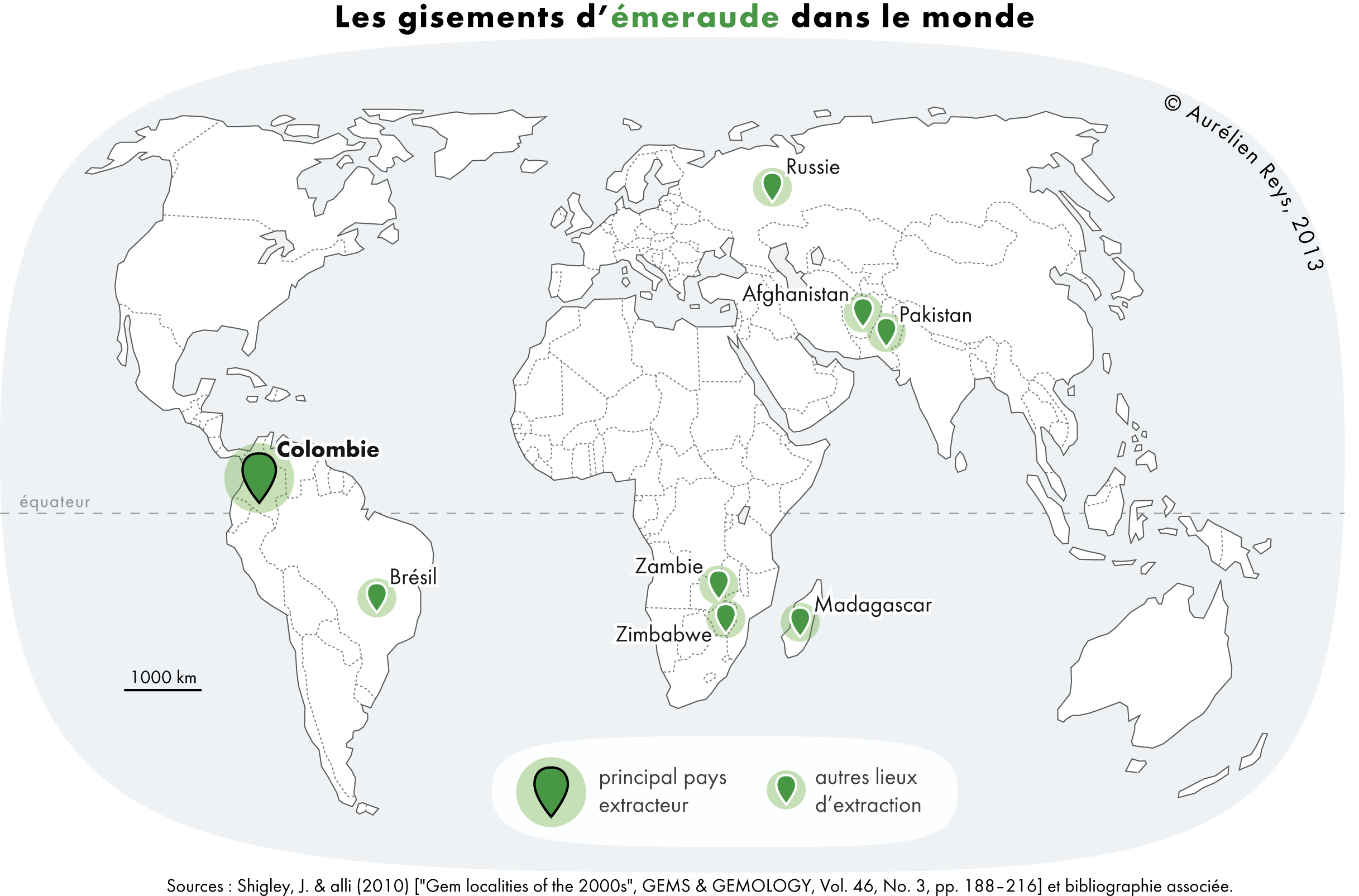
Emerald is a gemstone and a variety of the mineral beryl (Be3Al2(SiO3)6) colored green by trace amounts of chromium or sometimes vanadium.Hurlbut, Cornelius S. Jr. and Kammerling, Robert C. (1991) ''Gemology'', John Wiley & Sons, New York, p. 203, . Beryl has a hardness of 7.5–8 on the Mohs scale. Most emeralds are highly included, so their toughness (resistance to breakage) is classified as generally poor. Emerald is a cyclosilicate. Etymology The word "emerald" is derived (via fro, esmeraude and enm, emeraude), from Vulgar Latin: ''esmaralda''/''esmaraldus'', a variant of Latin ''smaragdus'', which was a via grc, σμάραγδος (smáragdos; "green gem") from a Semitic language. According to Webster's Dictionary the term emerald was first used in the 14th century. Properties determining value Emeralds, like all colored gemstones, are graded using four basic parameters–the four ''C''s of connoisseurship: ''color'', ''clarity,'' ''cut'' and ''carat weight''. No ... [...More Info...] [...Related Items...] OR: [Wikipedia] [Google] [Baidu] |


