|
Timeline Of Arizona
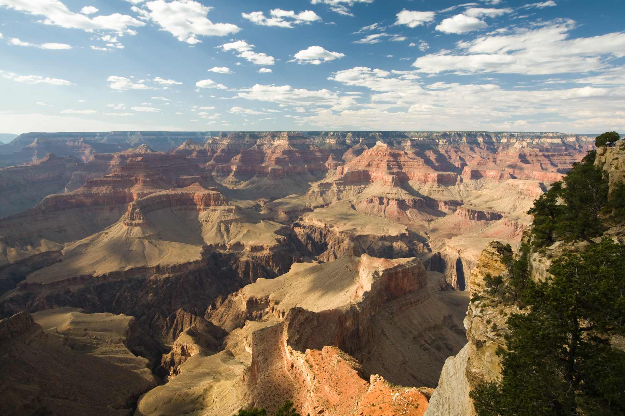
The following is a timeline of the history of the area which today comprises the U.S. state of Arizona. Situated in the desert southwest, for millennia the area was home to a series of Pre-Columbian peoples. By 1 AD, the dominant groups in the area were the Hohokam, the Mogollon, and the Ancestral Puebloans (also known as the Anasazi). The Hohokam dominated the center of the area which is now Arizona, the Mogollon the southeast, and the Puebloans the north and northeast. As these cultures disappeared between 1000 and 1400 AD, other Indian groups settled in Arizona. These tribes included the Navajo, Apache, Southern Paiute, Hopi, Yavapai, Akimel O'odham, and the Tohono O'odham. The first European presence in the state were the Spanish. In 1539 Marcos de Niza explored the area, followed by Francisco Vásquez de Coronado the following year. Spanish missionaries began to settle in the southern portion of the state, near present-day Tucson, around 1700, but did not move f ... [...More Info...] [...Related Items...] OR: [Wikipedia] [Google] [Baidu] |
Flag Of Arizona
The flag of Arizona consists of 13 rays of red and weld-yellow on the top half. The red and yellow symbolize the Spanish conquistadores that explored this part of America; this is because the flag is inspired in the current flag of Spain. The center star signifies copper production; Arizona produces more copper than any other state in the US. The height of the flag is two units high while the width is three units wide. The sun rays at the top are divided into 13 equal segments, starting with red and alternating with gold until the rays are complete. In the center of the flag, the copper star is one unit high, while the rest of the flag is covered by a blue section measuring one unit high and three units wide. The colors of red and blue are the same shade used on the flag of the United States. The suggested flag size is , with the star being tall. History The state of Arizona's website, museum, and official materials cite the following origins of the Arizona flag: While Ha ... [...More Info...] [...Related Items...] OR: [Wikipedia] [Google] [Baidu] |
Mogollon Culture
Mogollon culture () is an archaeological culture of Native American peoples from Southern New Mexico and Arizona, Northern Sonora and Chihuahua, and Western Texas. The northern part of this region is Oasisamerica, while the southern span of the Mogollon culture is known as Aridoamerica. The Mogollon culture is one of the major prehistoric Southwestern cultural divisions of the Southwestern United States and Northern Mexico. The culture flourished from the archaic period, , to either 1450 or 1540 CE, when the Spanish arrived. Etymology The name ''Mogollon'' comes from the Mogollon Mountains, which were named after Don Juan Ignacio Flores Mogollón, Spanish Governor of New Spain (including what is now New Mexico) from 1712 to 1715. The name was chosen and defined in 1936 by archaeologist Emil W. Haury. Cultural traits The distinct facets of Mogollon culture were recorded by Emil Haury, based on his excavations in 1931, 1933, and 1934 at the Harris Village in Mimbres, New ... [...More Info...] [...Related Items...] OR: [Wikipedia] [Google] [Baidu] |
American Civil War
The American Civil War (April 12, 1861 – May 26, 1865; also known by other names) was a civil war in the United States. It was fought between the Union ("the North") and the Confederacy ("the South"), the latter formed by states that had seceded. The central cause of the war was the dispute over whether slavery would be permitted to expand into the western territories, leading to more slave states, or be prevented from doing so, which was widely believed would place slavery on a course of ultimate extinction. Decades of political controversy over slavery were brought to a head by the victory in the 1860 U.S. presidential election of Abraham Lincoln, who opposed slavery's expansion into the west. An initial seven southern slave states responded to Lincoln's victory by seceding from the United States and, in 1861, forming the Confederacy. The Confederacy seized U.S. forts and other federal assets within their borders. Led by Confederate President Jefferson ... [...More Info...] [...Related Items...] OR: [Wikipedia] [Google] [Baidu] |
Mexican–American War
The Mexican–American War, also known in the United States as the Mexican War and in Mexico as the (''United States intervention in Mexico''), was an armed conflict between the United States and Second Federal Republic of Mexico, Mexico from 1846 to 1848. It followed the 1845 American annexation of Texas, which Mexico still considered its territory. Mexico refused to recognize the Treaties of Velasco, Velasco treaty, because it was signed by President Antonio López de Santa Anna while he was captured by the Texan Army during the 1836 Texas Revolution. The Republic of Texas was ''de facto'' an independent country, but most of its Anglo-American citizens wanted to be annexed by the United States. Sectional politics over slavery in the United States were preventing annexation because Texas would have been admitted as a slave state, upsetting the balance of power between Northern free states and Southern slave states. In the 1844 United States presidential election, Democrat ... [...More Info...] [...Related Items...] OR: [Wikipedia] [Google] [Baidu] |
Sonora, Mexico
Sonora (), officially Estado Libre y Soberano de Sonora ( en, Free and Sovereign State of Sonora), is one of the 31 states which, along with Mexico City, comprise the Federal Entities of Mexico. The state is divided into 72 municipalities; the capital (and largest) city of which being Hermosillo, located in the center of the state. Other large cities include Ciudad Obregón, Nogales (on the Mexico-United States border), San Luis Río Colorado, and Navojoa. Sonora is bordered by the states of Chihuahua to the east, Baja California to the northwest and Sinaloa to the south. To the north, it shares the U.S.–Mexico border primarily with the state of Arizona with a small length with New Mexico, and on the west has a significant share of the coastline of the Gulf of California. Sonora's natural geography is divided into three parts: the Sierra Madre Occidental in the east of the state; plains and rolling hills in the center; and the coast on the Gulf of California. It is primar ... [...More Info...] [...Related Items...] OR: [Wikipedia] [Google] [Baidu] |
Presidio San Augustin Del Tucson
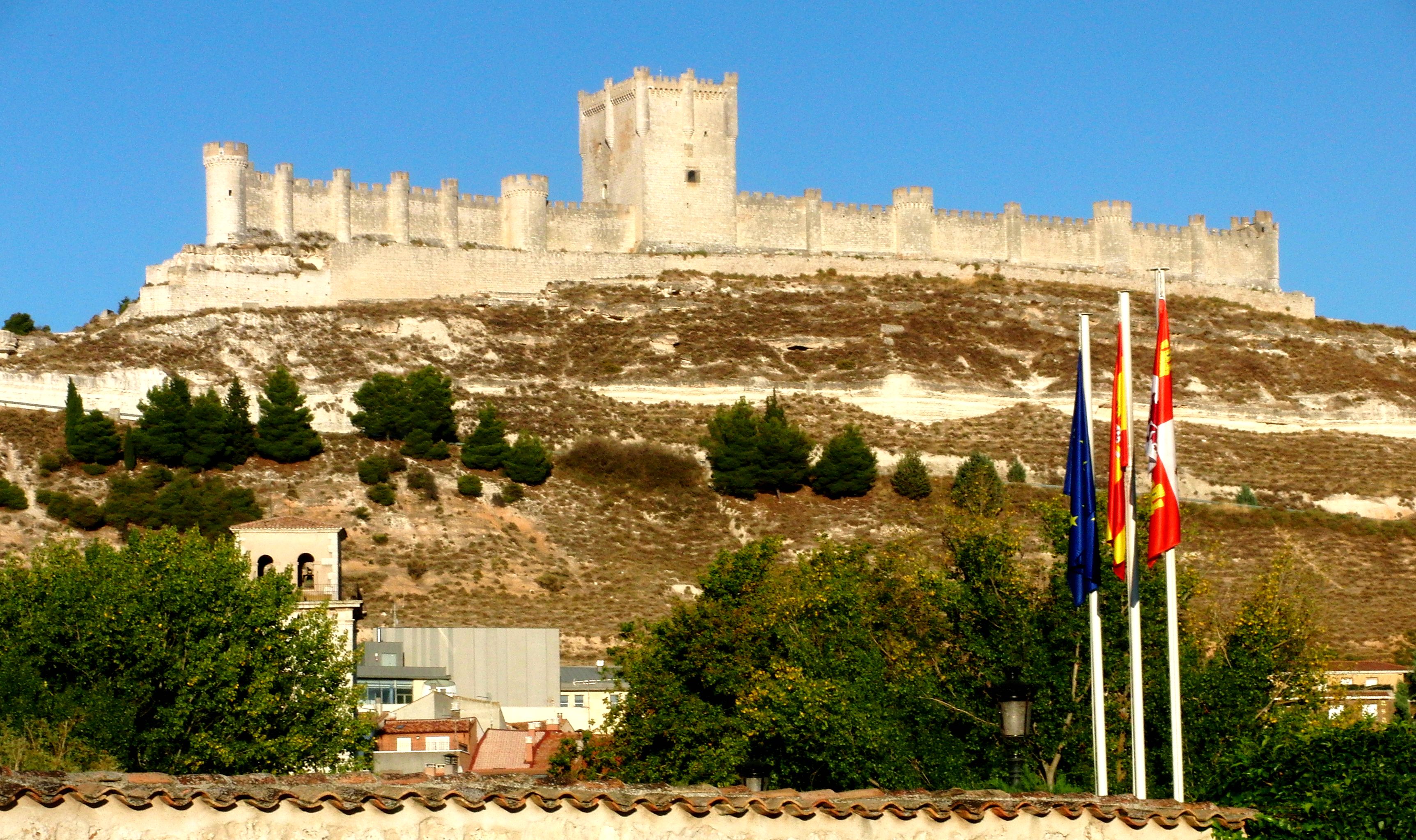
A presidio ( en, jail, fortification) was a fortified base established by the Spanish Empire around between 16th and 18th centuries in areas in condition of their control or influence. The presidios of Spanish Philippines in particular, were centers where the martial art of Arnis de Mano was developed from Spanish cut-and-thrust fencing style. The term is derived from the Latin word ''praesidium'' meaning ''protection'' or ''defense''. In the Mediterranean and the Philippines, the presidios were outposts of Christian defense against Islamic raids. In the Americas, the fortresses were built to protect against raid of pirates, rival colonists, as well as Native Americans. Later in western North America, with independence, the Mexicans garrisoned the Spanish presidios on the northern frontier and followed the same pattern in unsettled frontier regions such as the Presidio de Sonoma, at Sonoma, California, and the Presidio de Calabasas, in Arizona. In western North America, a ' ... [...More Info...] [...Related Items...] OR: [Wikipedia] [Google] [Baidu] |
Francisco Vásquez De Coronado
Francisco is the Spanish and Portuguese form of the masculine given name '' Franciscus''. Nicknames In Spanish, people with the name Francisco are sometimes nicknamed " Paco". San Francisco de Asís was known as ''Pater Comunitatis'' (father of the community) when he founded the Franciscan order, and "Paco" is a short form of ''Pater Comunitatis''. In areas of Spain where Basque is spoken, " Patxi" is the most common nickname; in the Catalan areas, "Cesc" (short for Francesc) is often used. In Spanish Latin America and in the Philippines, people with the name Francisco are frequently called " Pancho". " Kiko" is also used as a nickname, and " Chicho" is another possibility. In Portuguese, people named Francisco are commonly nicknamed "Chico" (''shíco''). This is also a less-common nickname for Francisco in Spanish. People with the given name * Pope Francis is rendered in the Spanish and Portuguese languages as Papa Francisco * Francisco Acebal (1866–1933), Spanish ... [...More Info...] [...Related Items...] OR: [Wikipedia] [Google] [Baidu] |
Culture Of Spain
The culture of '' Spain'' is based on a variety of historical influences, primarily based on the culture of ancient Rome, Spain being a prominent part of the Greco-Roman world for centuries, the very name of Spain comes from the name that the Romans gave to the country, Hispania. Other ancient peoples such as Greeks, Tartessians, Celts, Iberians, Celtiberians, Phoenicians and Carthaginians also had some influence. In the areas of language and also religion, the Ancient Romans left a lasting legacy in the Spanish culture because Rome created Hispania as a political, legal and administrative unit. The subsequent course of Spanish history added other elements to the country's culture and traditions. The Visigothic Kingdom left a united Christian Hispania that was going to be welded in the '' Reconquista''. The Visigoths kept the Roman legacy in Spain between the fall of the Roman Empire and the Early Middle Ages. Muslim influences remained during the Middle Ages in the ar ... [...More Info...] [...Related Items...] OR: [Wikipedia] [Google] [Baidu] |
Akimel O'odham
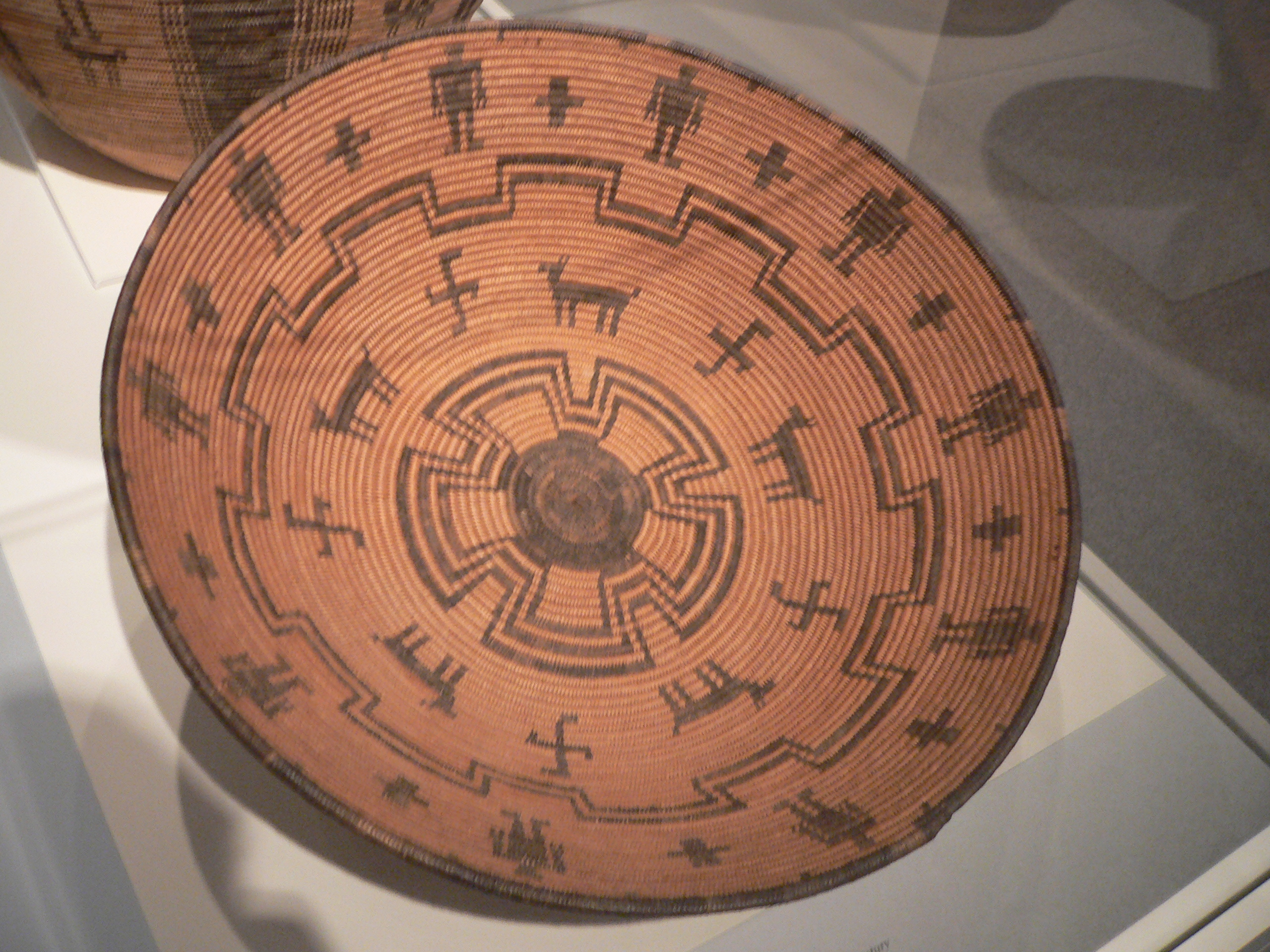
The Pima (or Akimel O'odham, also spelled Akimel Oʼotham, "River People," formerly known as ''Pima'') are a group of Native Americans living in an area consisting of what is now central and southern Arizona, as well as northwestern Mexico in the states of Sonora and Chihuahua. The majority population of the two current bands of the Akimel O'odham in the United States are based in two reservations: the Keli Akimel Oʼodham on the Gila River Indian Community (GRIC) and the On'k Akimel O'odham on the Salt River Pima-Maricopa Indian Community (SRPMIC). The Akimel O'odham are closely related to the Ak-Chin O'odham, now forming the Ak-Chin Indian Community. They are also related to the Sobaipuri, whose descendants reside on the San Xavier Indian Reservation or Wa꞉k (together with the Tohono O'odham), and in the Salt River Indian Community. Together with the related Tohono O'odham ("Desert People") and the Hia C-ed O'odham ("Sand Dune People"), the Akimel O'odham form the Upper ... [...More Info...] [...Related Items...] OR: [Wikipedia] [Google] [Baidu] |
Yavapai People
The Yavapai are a Native American tribe in Arizona. Historically, the Yavapai – literally “people of the sun” (from ''Enyaava'' “sun” + ''Paay'' “people”) – were divided into four geographical bands who identified as separate, independent peoples: the Ɖulv G’paaya, or Western Yavapai; the Yaavpe', or Northwestern Yavapai; the Gwev G’paaya, or Southeastern Yavapai; and the Wiipukpaa, or Northeastern Yavapai – Verde Valley Yavapai. Another Yavapai band, which no longer exists, was the Mađqwarrpaa or "Desert People." Its people are believed to have mixed with the Mojave and Quechan peoples. The Yavapai have much in common with their linguistic relatives to the north, the Havasupai and the Hualapai. Often the Yavapai were mistaken as Apache by American settlers, who referred to them as "Mohave-Apache," "Yuma-Apache," or "Tonto-Apache". Before the 1860s, when settlers began exploring for gold in the area, the Yavapai occupied an area of approximately 20, ... [...More Info...] [...Related Items...] OR: [Wikipedia] [Google] [Baidu] |
Southern Paiute
The Southern Paiute people are a tribe of Native Americans who have lived in the Colorado River basin of southern Nevada, northern Arizona, and southern Utah. Bands of Southern Paiute live in scattered locations throughout this territory and have been granted federal recognition on several reservations. The first European contact with the Southern Paiute occurred in 1776, when fathers Silvestre Vélez de Escalante and Francisco Atanasio Domínguez encountered them during an attempt to find an overland route to the missions of California. They noted that some of the Southern Paiute men "had thick beards and were thought to look more in appearance like Spanish men than native Americans". Before this date, the Southern Paiute suffered slave raids by the Navajo and the Ute. The arrival of Spanish and later Euro-American explorers into their territory increased slave raiding by other tribes. In 1851, Mormon settlers strategically occupied Paiute water sources, which created ... [...More Info...] [...Related Items...] OR: [Wikipedia] [Google] [Baidu] |


.jpg)

