|
Tikal
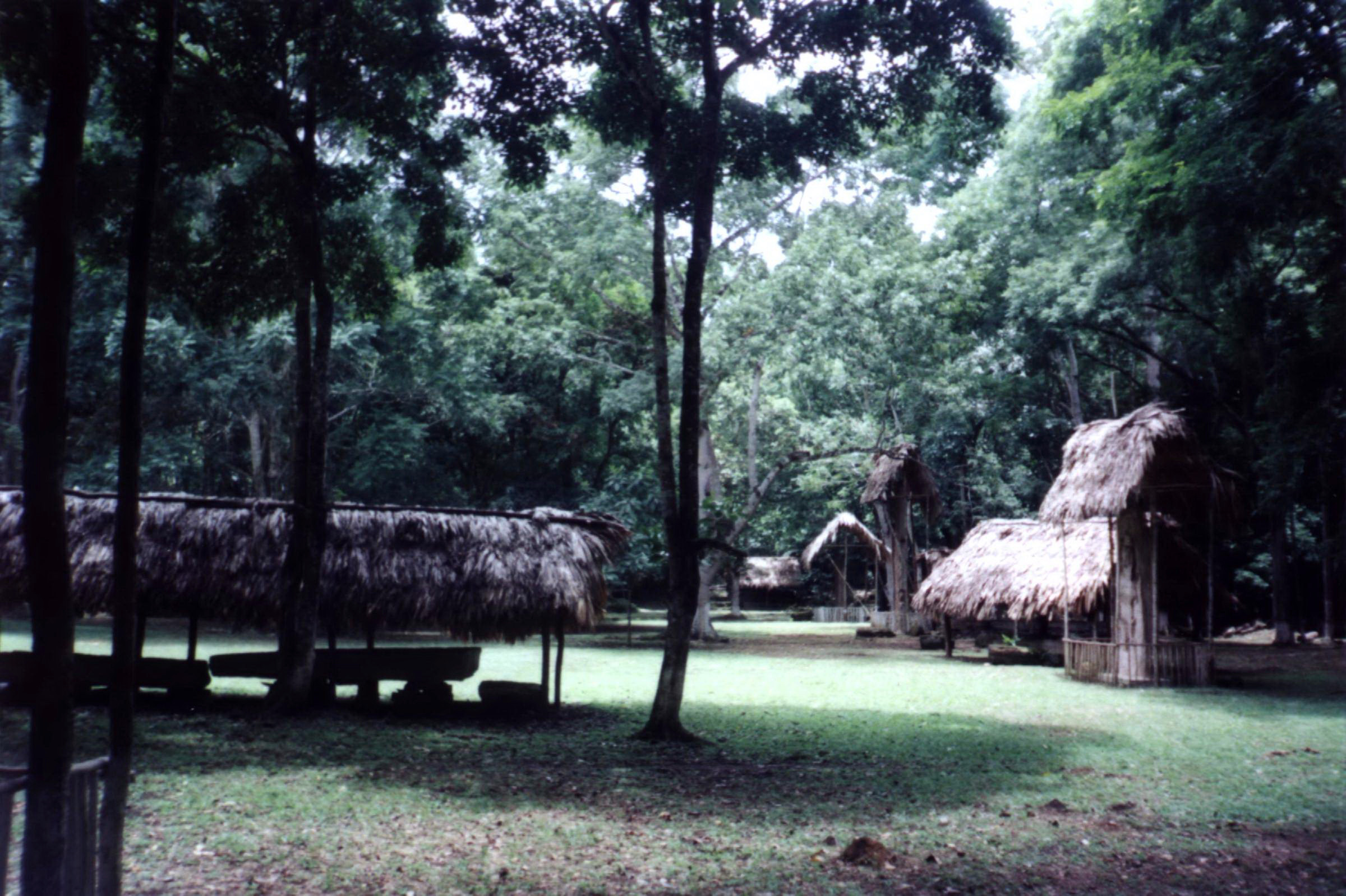
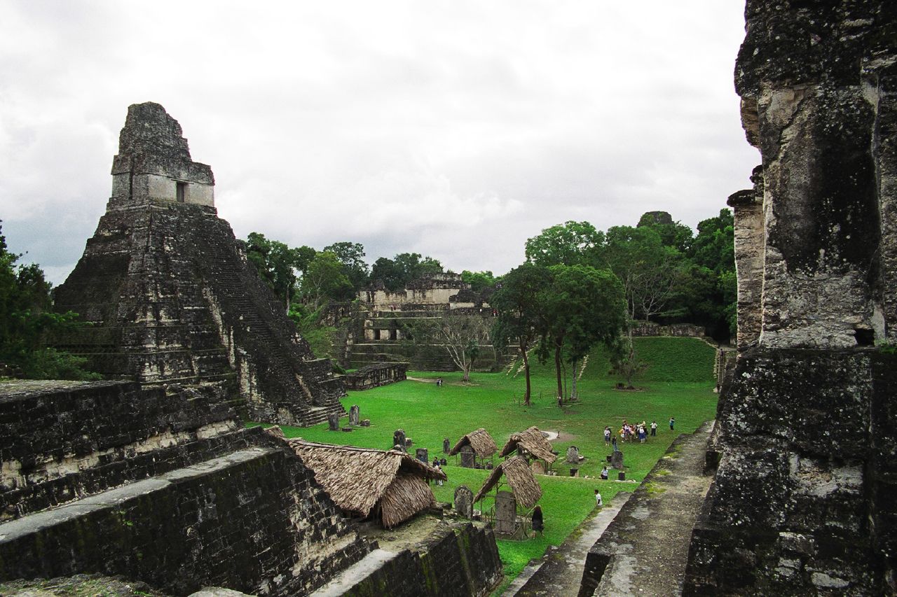
Tikal () (''Tik’al'' in modern Mayan orthography) is the ruin of an ancient city, which was likely to have been called Yax Mutal, found in a rainforest in Guatemala. It is one of the largest archeological sites and urban centers of the pre-Columbian Maya civilization. It is located in the archeological region of the Petén Basin in what is now northern Guatemala. Situated in the department of El Petén, the site is part of Guatemala's Tikal National Park and in 1979 it was declared a UNESCO World Heritage Site. Tikal was the capital of a conquest state that became one of the most powerful kingdoms of the ancient Maya. Though monumental architecture at the site dates back as far as the 4th century BC, Tikal reached its apogee during the Classic Period, c. 200 to 900. During this time, the city dominated much of the Maya region politically, economically, and militarily, while interacting with areas throughout Mesoamerica such as the great metropolis of Teotihuacan in the dista ... [...More Info...] [...Related Items...] OR: [Wikipedia] [Google] [Baidu] |
Maya Rulers
Maya kings were the centers of power for the Maya civilization. Each Maya city-state was controlled by a dynasty of kings. The position of king was usually inherited by the oldest son. Symbols of power Maya kings felt the need to legitimize their claim to power. One of the ways to do this was to build a temple or pyramid. Tikal Temple I is a good example. This temple was built during the reign of Yikʼin Chan Kʼawiil. Another king named Kʼinich Janaabʼ Pakal would later carry out this same show of power when building the Temple of Inscriptions at Palenque. The Temple of Inscriptions still towers today amid the ruins of Palenque, as the supreme symbol of influence and power in Palenque. Succession Maya kings cultivated godlike personas. When a ruler died and left no heir to the throne, the result was usually war and bloodshed. King Pacal's precursor, Pacal I, died upon the battlefield. However, instead of the kingdom erupting into chaos, the city of Palenque, a Maya capital ci ... [...More Info...] [...Related Items...] OR: [Wikipedia] [Google] [Baidu] |
Maya Civilization
The Maya civilization () of the Mesoamerican people is known by its ancient temples and glyphs. Its Maya script is the most sophisticated and highly developed writing system in the pre-Columbian Americas. It is also noted for its art, architecture, mathematics, calendar, and astronomical system. The Maya civilization developed in the Maya Region, an area that today comprises southeastern Mexico, all of Guatemala and Belize, and the western portions of Honduras and El Salvador. It includes the northern lowlands of the Yucatán Peninsula and the highlands of the Sierra Madre, the Mexican state of Chiapas, southern Guatemala, El Salvador, and the southern lowlands of the Pacific littoral plain. Today, their descendants, known collectively as the Maya, number well over 6 million individuals, speak more than twenty-eight surviving Mayan languages, and reside in nearly the same area as their ancestors. The Archaic period, before 2000 BC, saw the first developments in agricul ... [...More Info...] [...Related Items...] OR: [Wikipedia] [Google] [Baidu] |
Dos Pilas
Dos Pilas is a Pre-Columbian site of the Maya civilization located in what is now the department of Petén, Guatemala. It dates to the Late Classic Period, and was founded by an offshoot of the dynasty of the great city of Tikal in AD 629 in order to control trade routes in the Petexbatún region, particularly the Pasión River.Salisbury, Koumenalis & Barbara Moffett 2002. In AD 648 Dos Pilas broke away from Tikal and became a vassal state of Calakmul, although the first two kings of Dos Pilas continued to use the same emblem glyph that Tikal did.Webster 2002, p. 263. It was a predator state from the beginning, conquering Itzan, Arroyo de Piedra and Tamarindito. Dos Pilas and a nearby city, Aguateca, eventually became the twin capitals of a single ruling dynasty. The kingdom as a whole has been named as the Petexbatun Kingdom, after Lake Petexbatún, a body of water draining into the Pasión River. Dos Pilas gives an important glimpse into the grea ... [...More Info...] [...Related Items...] OR: [Wikipedia] [Google] [Baidu] |
Tikal Temple I
Tikal Temple I is the designation given to one of the major structures at Tikal, one of the largest cities and archaeological sites of the pre-Columbian Maya civilization in Mesoamerica. It is located in the Petén Basin region of northern Guatemala. It also is known as the Temple of the Great Jaguar because of a lintel that represents a king sitting upon a jaguar throne.Muñoz Cosme & Quintana Samayoa 1996, p.302. An alternative name is the Temple of Ah Cacao, after the ruler buried in the temple.''Ah Cacao'' being an earlier nickname for the Tikal ruler Jasaw Chan K'awiil I, whose tomb the temple contains. Temple I is a typically Petén-styled limestone stepped pyramid structure that is dated to approximately 732 AD. Situated at the heart of a World Heritage Site, the temple is surmounted by a characteristic roof comb, a distinctive Maya architectural feature. Building Temple I on the eastern side of the Great Plaza was a significant deviation from the established tradition o ... [...More Info...] [...Related Items...] OR: [Wikipedia] [Google] [Baidu] |
Tikal National Park
Tikal National Park is a national park located in Guatemala, in the northern region of the Petén Department. Stretching across 57,600 hectares, it contains the ancient Mayan city of Tikal and the surrounding tropical forests, savannas, and wetlands. In 1979, Tikal National Park was declared as a World Heritage Site by UNESCO, because of the outstanding Mesoamerican ruins at Tikal and the unique ecology of the surrounding landscape. History "Project Tikal", as it was named at the time, was first proposed by the University of Pennsylvania in 1949. Founded on May 26, 1955, Tikal National Park was established under government decree by the Ministry of Education, via the Instituto de Antropología e Historia, advised by Dr. Adolfo Molina Orantes and under the government of Carlos Castillo Armas. Once established, the University of Pennsylvania played a role in the park's cleaning, maintenance, excavation and restoration of the site from 1956 to 1969. Today, Tikal National Park's mai ... [...More Info...] [...Related Items...] OR: [Wikipedia] [Google] [Baidu] |
Mesoamerica
Mesoamerica is a historical region and cultural area in southern North America and most of Central America. It extends from approximately central Mexico through Belize, Guatemala, El Salvador, Honduras, Nicaragua, and northern Costa Rica. Within this region pre-Columbian societies flourished for more than 3,000 years before the Spanish colonization of the Americas. Mesoamerica was the site of two of the most profound historical transformations in world history: primary urban generation, and the formation of New World cultures out of the long encounters among indigenous, European, African and Asian cultures. In the 16th century, Eurasian diseases such as smallpox and measles, which were endemic among the colonists but new to North America, caused the deaths of upwards of 90% of the indigenous people, resulting in great losses to their societies and cultures. Mesoamerica is one of the five areas in the world where ancient civilization arose independently (see cradle of civ ... [...More Info...] [...Related Items...] OR: [Wikipedia] [Google] [Baidu] |
Mesoamerican Chronology
Mesoamerican chronology divides the history of pre-Columbian, prehispanic Mesoamerica into several periods: the Paleo-Indian (first human habitation until 3500 BCE); the Archaic (before 2600 BCE), the Preclassic or Formative (2500 BCE – 250 CE), the Classic (250–900 CE), and the Postclassic (); as well as the post European contact Colonial Period (1521–1821), and Postcolonial, or the period after independence from Spain (1821–present). The periodisation of Mesoamerica by researchers is based on archaeological, ethnohistorical, and modern cultural anthropology research dating to the early twentieth century. Archaeologists, ethnohistorians, historians, and cultural anthropologists continue to work to develop cultural histories of the region. Overview Paleo-Indian period 10,000–3500 BCE The Paleo-Indian (less frequently, ''Lithic stage, Lithic'') period or era is that which spans from the first signs of human presence in the region, to t ... [...More Info...] [...Related Items...] OR: [Wikipedia] [Google] [Baidu] |
Uaxactun
Uaxactun (pronounced ) is an ancient sacred place of the Maya civilization, located in the Petén Basin region of the Maya lowlands, in the present-day department of Petén, Guatemala. The site lies some north of the major center of Tikal. The name is sometimes spelled as Waxaktun. History of discovery With recent achievements in the decipherment of the ancient Maya hieroglyphic writing system, it has been determined that the ancient name for this site translates roughly as ''Siaan K'aan'' or "Born in Heaven". The name ''Uaxactun'' was given to the site by its rediscoverer, archaeologist Sylvanus Morley, in May 1916. He coined the name from Maya words ''Waxac'' and ''Tun'', to mean "Eight Stones". The name has two meanings; Morley's stated reason for the name was to commemorate it as the first site where an inscription dating from the 8th Baktún of the Maya calendar was discovered (making it then the earliest known Maya date). The other meaning is a pun, since "Uaxactun" soun ... [...More Info...] [...Related Items...] OR: [Wikipedia] [Google] [Baidu] |
Teotihuacan
Teotihuacan (Spanish language, Spanish: ''Teotihuacán'') (; ) is an ancient Mesoamerican city located in a sub-valley of the Valley of Mexico, which is located in the State of Mexico, northeast of modern-day Mexico City. Teotihuacan is known today as the site of many of the most architecturally significant Mesoamerican pyramids built in the pre-Columbian Americas, namely Pyramid of the Sun and Pyramid of the Moon. At its zenith, perhaps in the first half of the first millennium (1 CE to 500 CE), Teotihuacan was the largest city in the Americas, with a population estimated at 125,000 or more, making it at least the sixth-largest city in the world during its epoch. The city covered eight square miles (21 km2), and 80 to 90 percent of the total population of the valley resided in Teotihuacan. Apart from the pyramids, Teotihuacan is also anthropologically significant for its complex, multi-family residential compounds, the Avenue of the Dead, and its vibrant, well-prese ... [...More Info...] [...Related Items...] OR: [Wikipedia] [Google] [Baidu] |
Maya City
Maya cities were the centres of population of the pre-Columbian Maya civilization of Mesoamerica. They served the specialised roles of administration, commerce, manufacturing and religion that characterised ancient cities worldwide.Sharer & Traxler 2006, p.71. Maya cities tended to be more dispersed than cities in other societies, even within Mesoamerica, as a result of adaptation to a lowland tropical environment that allowed food production amidst areas dedicated to other activities. They lacked the grid plans of the highland cities of central Mexico, such as Teotihuacán and Tenochtitlan. Maya kings ruled their kingdoms from palaces that were situated within the centre of their cities.Martin & Grube 2000, p.15. Cities tended to be located in places that controlled trade routes or that could supply essential products.Sharer & Traxler 2006, p.85. This allowed the elites that controlled trade to increase their wealth and status. Such cities were able to construct temples for pub ... [...More Info...] [...Related Items...] OR: [Wikipedia] [Google] [Baidu] |
Petén Basin
The Petén Basin is a geographical subregion of Mesoamerica, primarily located in northern Guatemala within the Department of El Petén, and into Campeche state in southeastern Mexico. During the Late Preclassic and Classic periods of pre-Columbian Mesoamerican chronology many major centers of the Maya civilization flourished, such as Tikal and Calakmul. A distinctive Petén-style of Maya architecture and inscriptions arose. The archaeological sites La Sufricaya and Holmul are also located in this region. History By the first half of the 1st millennium BCE, the Petén and Mirador Basin of this region were already well-established with a number of monumental sites and cities of the Maya civilization. Significant Maya sites of this Preclassic era of Mesoamerican chronology include Nakbé, El Mirador, Naachtun, San Bartolo and Cival in the Mirador Basin. Classic Period Later, Petén became the heartland of the Maya Classic Period (c. 200 – 900 CE). At its height aroun ... [...More Info...] [...Related Items...] OR: [Wikipedia] [Google] [Baidu] |
Maya Script
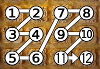
Maya script, also known as Maya glyphs, is historically the native writing system of the Maya civilization of Mesoamerica and is the only Mesoamerican writing system that has been substantially deciphered. The earliest inscriptions found which are identifiably Maya date to the 3rd century BCE in San Bartolo, Guatemala. Maya writing was in continuous use throughout Mesoamerica until the Spanish conquest of the Maya in the 16th and 17th centuries. Maya writing used logograms complemented with a set of syllabic glyphs, somewhat similar in function to modern Japanese writing. Maya writing was called "hieroglyphics" or hieroglyphs by early European explorers of the 18th and 19th centuries who found its general appearance reminiscent of Egyptian hieroglyphs, although the two systems are unrelated. Though modern Mayan languages are almost entirely written using the Latin alphabet rather than Maya script, there have been recent developments encouraging a revival of the Maya glyph sys ... [...More Info...] [...Related Items...] OR: [Wikipedia] [Google] [Baidu] |


.png)


