|
Tiger Bay
Tiger Bay ( cy, Bae Teigr) was the local name for an area of Cardiff which covered Butetown and Cardiff Docks. Following the building of the Cardiff Barrage, which dams the tidal rivers, Ely and Taff, to create a body of water, it is referred to as Cardiff Bay. Tiger Bay is Wales’ oldest multi-ethnic community, with sailors and workers from over 50 countries settling there from the mid-19th century onwards. Background Cardiff Docks played a major part in Cardiff's development as it was the means of exporting coal from the South Wales Valleys to the rest of the world, helping to power the Industrial Age. The coal mining industry helped fund the growth of Cardiff to become the capital city of Wales, and contributed towards making the docks' owner, the 3rd Marquess of Bute, the richest man in the world at the time. In 1794, the Glamorganshire Canal was completed, linking Cardiff with Merthyr, and in 1798 a basin was built, connecting the canal to the sea. Increasing ... [...More Info...] [...Related Items...] OR: [Wikipedia] [Google] [Baidu] |
Cardiff Docks
Cardiff Docks ( cy, Dociau Caerdydd) is a port in southern Cardiff, Wales. At its peak, the port was one of the largest dock systems in the world with a total quayage of almost . Once the main port for the export of South Wales coal, the Port of Cardiff remains active in the import and export of containers, steel, forest products and dry and liquid bulks. History Following the development of the coal found in the Cynon Valley, Rhondda Valley, and Merthyr areas of South Wales, the export of both coal and iron products required a sea connection to the Bristol Channel if economic volumes of product were to be extracted. In 1794, the Glamorganshire Canal was completed, linking the then small town of Cardiff with Merthyr, and in 1798 a basin was built, connecting the canal to the sea. By the 1830s, Cardiff became the pre-eminent iron-exporting port, shipping almost half of British overseas iron exports; between 1840 and 1870, the volume of coal exports increased from 44,350 to 2.2 ... [...More Info...] [...Related Items...] OR: [Wikipedia] [Google] [Baidu] |
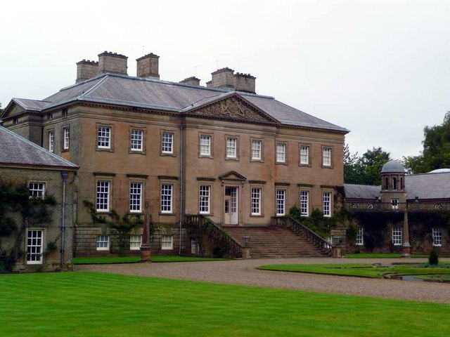
John Crichton-Stuart, 2nd Marquess Of Bute
John Crichton-Stuart, 2nd Marquess of Bute, KT, FRS (10 August 1793 – 18 March 1848), styled Lord Mount Stuart between 1794 and 1814, was a wealthy aristocrat and industrialist in Georgian and early Victorian Britain. He developed the coal and iron industries across South Wales and built the Cardiff Docks. Bute's father, John, Lord Mount Stuart, died a few months after he was born and as a young child he was brought up first by his mother, the former Lady Elizabeth McDougall-Crichton, and later by his paternal grandfather, John Stuart, 1st Marquess of Bute. He travelled widely across Europe before attending Cambridge University. He contracted an eye condition and remained partially sighted for the rest of his life. Having inherited large estates across Britain, he married his first wife, Lady Maria North, in 1818, and together they lived a relatively secluded life in Mount Stuart House in Scotland, one of Bute's four seats. Bute was dour but industrious, with a flair for ... [...More Info...] [...Related Items...] OR: [Wikipedia] [Google] [Baidu] |
Norwegian People
Norwegians ( no, nordmenn) are a North Germanic ethnic group and nation native to Norway, where they form the vast majority of the population. They share a common culture and speak the Norwegian language. Norwegians are descended from the Norse of the Early Middle Ages who formed a unified Kingdom of Norway in the 9th century. During the Viking Age, Norwegians and other Norse peoples conquered, settled and ruled parts of the British Isles, the Faroe Islands, Iceland and Greenland. Norwegians are closely related to other North Germanic peoples and descendants of the Norsemen such as Danes, Swedes, Icelanders and the Faroe Islanders, as well as groups such as the Scots whose nation they significantly settled and left a lasting impact in. The Norwegian language is part of the larger Scandinavian dialect continuum of generally mutually intelligible languages in Scandinavia. Norwegian people and their descendants are found in migrant communities worldwide, notably in the Un ... [...More Info...] [...Related Items...] OR: [Wikipedia] [Google] [Baidu] |
River Severn
, name_etymology = , image = SevernFromCastleCB.JPG , image_size = 288 , image_caption = The river seen from Shrewsbury Castle , map = RiverSevernMap.jpg , map_size = 288 , map_caption = Tributaries (light blue) and major settlements on and near the Severn (bold blue) , pushpin_map = , pushpin_map_size = 288 , pushpin_map_caption= , subdivision_type1 = Country , subdivision_name1 = England and Wales , subdivision_type2 = , subdivision_name2 = , subdivision_type3 = Region , subdivision_name3 = Mid Wales, West Midlands, South West , subdivision_type4 = Counties , subdivision_name4 = Powys, Shropshire, Worcestershire, Gloucestershire , subdivision_type5 = Cities , subdivision_name5 = Shrewsbury, Worcester, Gloucester, Bristol , length = , width_min = , width_avg = , width_max = , depth_min = , depth_avg = ... [...More Info...] [...Related Items...] OR: [Wikipedia] [Google] [Baidu] |
National Museum Of Wales Cardiff
National Museum Cardiff ( cy, Amgueddfa Genedlaethol Caerdydd) is a museum and art gallery in Cardiff, Wales. The museum is part of the wider network of Amgueddfa Cymru – National Museum Wales. Entry is kept free by a grant from the Welsh Government; however, they do ask for donations throughout the museum. History The National Museum of Wales was founded in 1905, with its royal charter granted in 1907. Part of the bid for Cardiff to obtain the National Museum for Wales included the gift of the Cardiff Museum Collection, then known as "Welsh Museum of Natural History, Archaeology and Art," which was formally handed over in 1912. The Cardiff Museum was sharing the building of Cardiff Library, and was a sub-department of the library until 1893. Construction of a new building in the civic complex of Cathays Park began in 1912, but owing to the First World War it did not open to the public until 1922, with the official opening taking place in 1927. The architects were Arnold Dunb ... [...More Info...] [...Related Items...] OR: [Wikipedia] [Google] [Baidu] |
Bute Street, Cardiff
Bute Street ( cy, Stryd Biwt) is a street in Cardiff, Wales. It links Cardiff Bay (previously Tiger Bay) and Butetown with Cardiff city centre. It now has no road number. It runs from the dockside of the Mermaid Quay complex in the south, which is now a pedestrian zone, to the junction of Bute Terrace (A4160) in the north. History What is today Bute Street was previously mostly meadow and marshland called Soudrey, the Cardiff south moors. The 2nd Marquess of Bute realised in the 1820s that the Glamorganshire Canal was not sufficient to cope with the demands of the iron trade and initiated a development plan. This plan included the construction of Bute Street as a main road in and out of the docks area and it was completed in 1830. Bute Street used to be part of the A470 road, up until Lloyd George Avenue was opened on 4 October 2000, it is now an unclassified road. Junctions on Bute Street *Bute Terrace and Custom House Street *Callaghan Square *North Church Street ... [...More Info...] [...Related Items...] OR: [Wikipedia] [Google] [Baidu] |
Loudoun Square
Loudoun Square is a residential square in Cardiff, Wales, described as "the heart of the old Tiger Bay". The square is the location of two of Cardiff's few residential tower blocks, as well as shops, a pub, church, health centre and community centre. History During the 1840s the Marquess of Bute created the residential area of Butetown, to house workers for the new Cardiff Docks. After his death (in 1848), and the death in 1852 of the owner of a glassworks on the site, land was acquired between West Bute Street (to the east) and the Glamorganshire Canal (to the west) to create a large square of three-storey decorative houses.Evans, Dosworth, Barnett, ''Below the Bridge'', p. 23 It was shown as "Luton Square" on an 1855 map. The square was a "jewell" in "perhaps the poshest place in town" surrounding a green, tranquil park with its houses home to shipwrights, mariners, merchants, brokers and builders. The area became highly multicultural, "one of the most colourful and cosmopolita ... [...More Info...] [...Related Items...] OR: [Wikipedia] [Google] [Baidu] |
Mount Stuart Square
Mount Stuart Square is a residential and commercial square in Cardiff, Wales. It is located in the Butetown area of the city. Originally developed in the late 1800s as a residential location for nearby dock workers, it quickly became a centre for upscale residential properties which revolved around the main square. By 1900, commercial activity had taken its place, dominated by the Coal Exchange, which occupied the once open central space. The square contains a high concentration of listed buildings, which represent a range of architectural styles and some of Cardiff's finest examples of late 19th and early 20th Century commercial architecture. Mount Stuart Square area was designated a Conservation Area in July 1980.Mount Stuart Square: Conservation Area Apprai ... [...More Info...] [...Related Items...] OR: [Wikipedia] [Google] [Baidu] |
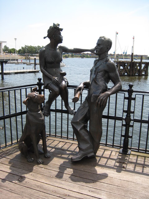
Immigrant Statues, Cardiff Bay - Geograph
Immigration is the international movement of people to a destination country of which they are not natives or where they do not possess citizenship in order to settle as permanent residents or naturalized citizens. Commuters, tourists, and other short-term stays in a destination country do not fall under the definition of immigration or migration; seasonal labour immigration is sometimes included, however. As for economic effects, research suggests that migration is beneficial both to the receiving and sending countries. Research, with few exceptions, finds that immigration on average has positive economic effects on the native population, but is mixed as to whether low-skilled immigration adversely affects low-skilled natives. Studies show that the elimination of barriers to migration would have profound effects on world GDP, with estimates of gains ranging between 67 and 147 percent for the scenarios in which 37 to 53 percent of the developing countries' workers migrate t ... [...More Info...] [...Related Items...] OR: [Wikipedia] [Google] [Baidu] |
Mining
Mining is the extraction of valuable minerals or other geological materials from the Earth, usually from an ore body, lode, vein, seam, reef, or placer deposit. The exploitation of these deposits for raw material is based on the economic viability of investing in the equipment, labor, and energy required to extract, refine and transport the materials found at the mine to manufacturers who can use the material. Ores recovered by mining include metals, coal, oil shale, gemstones, limestone, chalk, dimension stone, rock salt, potash, gravel, and clay. Mining is required to obtain most materials that cannot be grown through agricultural processes, or feasibly created artificially in a laboratory or factory. Mining in a wider sense includes extraction of any non-renewable resource such as petroleum, natural gas, or even water. Modern mining processes involve prospecting for ore bodies, analysis of the profit potential of a proposed mine, extraction of the desired materials, an ... [...More Info...] [...Related Items...] OR: [Wikipedia] [Google] [Baidu] |
Rhondda
Rhondda , or the Rhondda Valley ( cy, Cwm Rhondda ), is a former coalmining area in South Wales, historically in the county of Glamorgan. It takes its name from the River Rhondda, and embraces two valleys – the larger Rhondda Fawr valley (''mawr'' large) and the smaller Rhondda Fach valley (''bach'' small) – so that the singular "Rhondda Valley" and the plural are both commonly used. The area forms part of the South Wales Valleys. From 1897 until 1996 there was a local government district of Rhondda. The former district at its abolition comprised sixteen communities. Since 1996 these sixteen communities of the Rhondda have been part of Rhondda Cynon Taf County Borough. The area of the former district is still used as the Rhondda Senedd constituency and Westminster constituency, having an estimated population in 2020 of 69,506. It is most noted for its historical coalmining industry, which peaked between 1840 and 1925. The valleys produced a strong Nonconformist movemen ... [...More Info...] [...Related Items...] OR: [Wikipedia] [Google] [Baidu] |
Cynon Valley
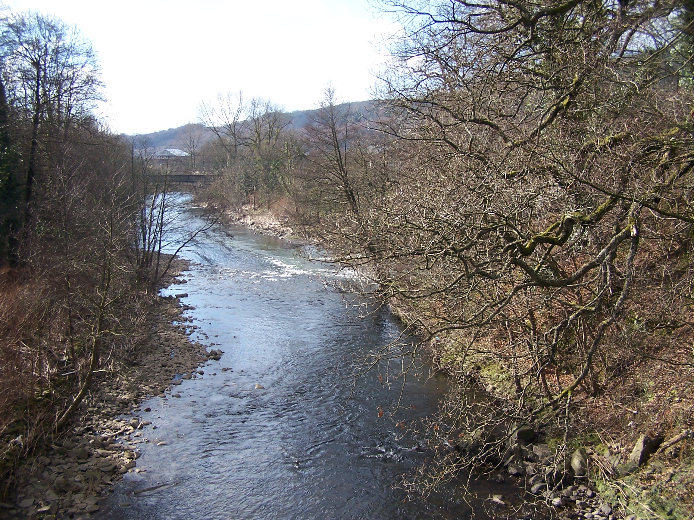
Cynon Valley () is a former coal mining valley in Wales. Cynon Valley lies between Rhondda and the Merthyr Valley and takes its name from the River Cynon. Aberdare is located in the north of the valley and Mountain Ash is in the south of the valley. From 1974 to 1996 Cynon Valley was a local government district. According to the 2001 census, the Cynon Valley has a population of 63,512. In 2001 12.1% of the inhabitants were recorded as Welsh speakers. In common with some of the other South Wales Valleys, Cynon Valley had a high percentage of Welsh speakers until the early 20th century. Former district From 1974 to 1996 the Borough of Cynon Valley was one of thirty-seven districts of Wales. The district was formed from the Aberdare and Mountain Ash urban districts, the parish of Rhigos from Neath Rural District and the parish of Penderyn from Brecknockshire. It was one of six districts of Mid Glamorgan, and in 1996 was merged into the larger unitary authority of Rhondda ... [...More Info...] [...Related Items...] OR: [Wikipedia] [Google] [Baidu] |


_geograph-4833452-by-Alan-Hughes.jpg)


