|
Terrace Tunnel
The Terrace Tunnel takes the Wellington Urban Motorway (SH1) under The Terrace in central Wellington, New Zealand. Opened in 1978, it is 460 metres in length. Coordinates * North portal: * South portal: Design The tunnel has three traffic lanes, one southbound and two northbound. The merge towards single southbound lane causes frequent congestion during peak periods rush hour. However flows at the southern end of the tunnel have improved somewhat since the opening of the Wellington Inner City Bypass. The tunnel is one of the few single-carriageway stretches of motorway in New Zealand. All that separates opposing flows of traffic is a set of double no-overtaking lines and a series of slim fixed-in-place post-style road bollards. The tunnel was opened as part of the extension of the Wellington Urban Motorway through Thorndon to Te Aro and was originally envisaged to include a parallel three-lane tunnel exclusively for southbound traffic (with the existing tunnel built f ... [...More Info...] [...Related Items...] OR: [Wikipedia] [Google] [Baidu] |
Wellington City
Wellington City Council is a Territorial authorities of New Zealand, territorial authority in New Zealand, governing the country's capital city Wellington, and ''de facto'' second-largest city (if the commonly considered parts of Wellington, the Upper Hutt, Porirua, Lower Hutt and often the Kapiti Coast, are taken into account; these, however have independent councils rather than a supercity governance like Auckland, and so Wellington City is legally only List of cities in New Zealand#City councils, third-largest city by population, behind Auckland and Christchurch). It consists of the central historic town and certain additional areas within the Wellington#Wellington metropolitan area, Wellington metropolitan area, extending as far north as Linden, New Zealand, Linden and covering rural areas such as Mākara and Ohariu, New Zealand, Ohariu. The city adjoins Porirua in the north and Lower Hutt, Hutt City in the north-east. It is one of nine territorial authorities in the Wellin ... [...More Info...] [...Related Items...] OR: [Wikipedia] [Google] [Baidu] |
Auckland Harbour Bridge
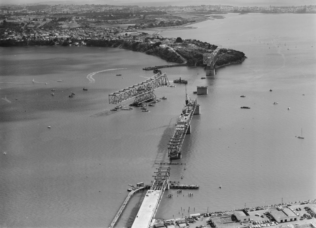
The Auckland Harbour Bridge is an eight-lane motorway bridge over the Waitematā Harbour in Auckland, New Zealand. It joins St Marys Bay on the Auckland city side with Northcote on the North Shore side. It is part of State Highway 1 and the Auckland Northern Motorway. The bridge is operated by the NZ Transport Agency (NZTA). It is the second-longest road bridge in New Zealand, and the longest in the North Island. The original inner four lanes, opened in 1959, are of box truss construction. Two lanes that were added to each side in 1968–1969 are of orthotropic box structure construction and are cantilevered off the original piers. The bridge is 1,020 m (3,348 ft) long, with a main span of 243.8 metres, rising 43.27 metres above high water, allowing ships access to the deepwater wharf at the Chelsea Sugar Refinery, one of the few such wharves west of the bridge. While often considered an Auckland icon, many see the construction of the bridge without walking, cycl ... [...More Info...] [...Related Items...] OR: [Wikipedia] [Google] [Baidu] |
State Highway 1 (New Zealand)
State Highway 1 (SH 1) is the longest and most significant road in the New Zealand road network, running the length of both main islands. It appears on road maps as SH 1 and on road signs as a white number 1 on a red shield, but it has the official designations SH 1N in the North Island, SH 1S in the South Island. SH 1 is long, in the North Island and in the South Island. Since 2010 new roads have reduced the length from . For the majority of its length it is a two-lane single carriageway, with at-grade intersections and property accesses, in both rural and urban areas. These sections have some passing lanes. Around of SH 1 is of motorway or expressway standard : in the North Island and in the South Island. Route North Island (SH 1N) SH 1 starts at Cape Reinga, at the northwestern tip of the Aupouri Peninsula, and since April 2010 has been sealed (mainly with either chipseal or asphalt) for its entire length. From Waitiki Landing south of Cape Reinga, SH 1 trav ... [...More Info...] [...Related Items...] OR: [Wikipedia] [Google] [Baidu] |
Tunnels Completed In 1978
A tunnel is an underground passageway, dug through surrounding soil, earth or rock, and enclosed except for the entrance and exit, commonly at each end. A pipeline is not a tunnel, though some recent tunnels have used immersed tube construction techniques rather than traditional tunnel boring methods. A tunnel may be for foot or vehicular road traffic, for rail traffic, or for a canal. The central portions of a rapid transit network are usually in the tunnel. Some tunnels are used as sewers or aqueducts to supply water for consumption or for hydroelectric stations. Utility tunnels are used for routing steam, chilled water, electrical power or telecommunication cables, as well as connecting buildings for convenient passage of people and equipment. Secret tunnels are built for military purposes, or by civilians for smuggling of weapons, contraband, or people. Special tunnels, such as wildlife crossings, are built to allow wildlife to cross human-made barriers safely. Tunne ... [...More Info...] [...Related Items...] OR: [Wikipedia] [Google] [Baidu] |
Road Tunnels In New Zealand
A road is a linear way for the conveyance of traffic that mostly has an improved surface for use by vehicles (motorized and non-motorized) and pedestrians. Unlike streets, the main function of roads is transportation. There are many types of roads, including parkways, avenues, controlled-access highways (freeways, motorways, and expressways), tollways, interstates, highways, thoroughfares, and local roads. The primary features of roads include lanes, sidewalks (pavement), roadways (carriageways), medians, shoulders, verges, bike paths (cycle paths), and shared-use paths. Definitions Historically many roads were simply recognizable routes without any formal construction or some maintenance. The Organization for Economic Co-operation and Development (OECD) defines a road as "a line of communication (travelled way) using a stabilized base other than rails or air strips open to public traffic, primarily for the use of road motor vehicles running on their own wheels", which ... [...More Info...] [...Related Items...] OR: [Wikipedia] [Google] [Baidu] |
Tunnels In New Zealand
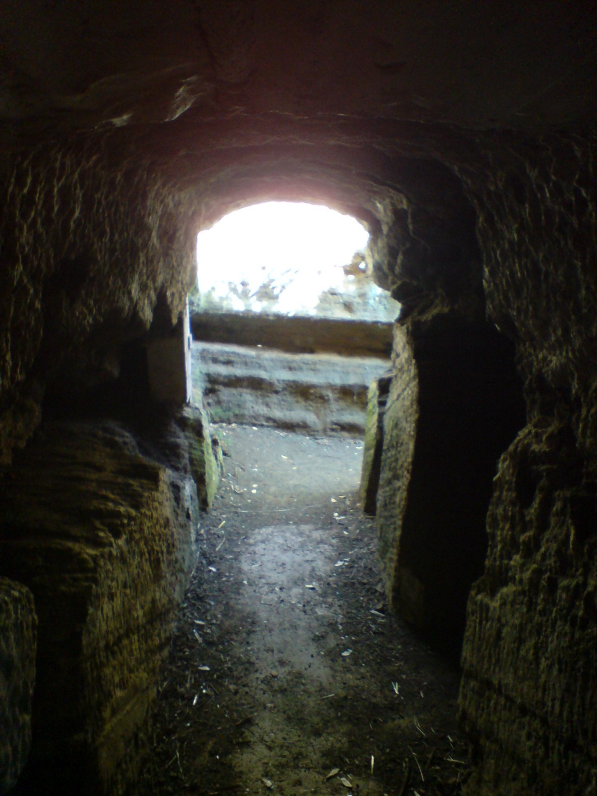
This is a link page for railway, road and waterway tunnels, including hydroelectric intakes and tailraces and gun battery tunnels. It includes artificial chambers but excludes New Zealand caves and New Zealand mines. For hydroelectric usage *Manapouri Power Station - Machine hall 111 m long, 18 m wide, 34 m high, and road access tunnel 2040 m long, 6.7 m wide and high, with a semi-circular arch roof. * Manapouri Tailrace - 2 tunnels - original tailrace tunnel 9817 m long, 9.2 m diameter horseshoe section, commenced 1964, breakthrough 1968 drill-and-blast construction, 16 deaths. Second tailrace tunnel 9829 m long, 10.05 m diameter, circular section, commenced 1997, breakthrough 2001, commissioned April 2002, tunnel boring machine construction, 0 deaths. *Tongariro Power Scheme. The scheme includes numerous canals and ten tunnels, the longest of which – the Moawhango-Tongariro Tunnel – is the country's longest. For military usage * North Head tunnels, Auckland ... [...More Info...] [...Related Items...] OR: [Wikipedia] [Google] [Baidu] |
AECOM
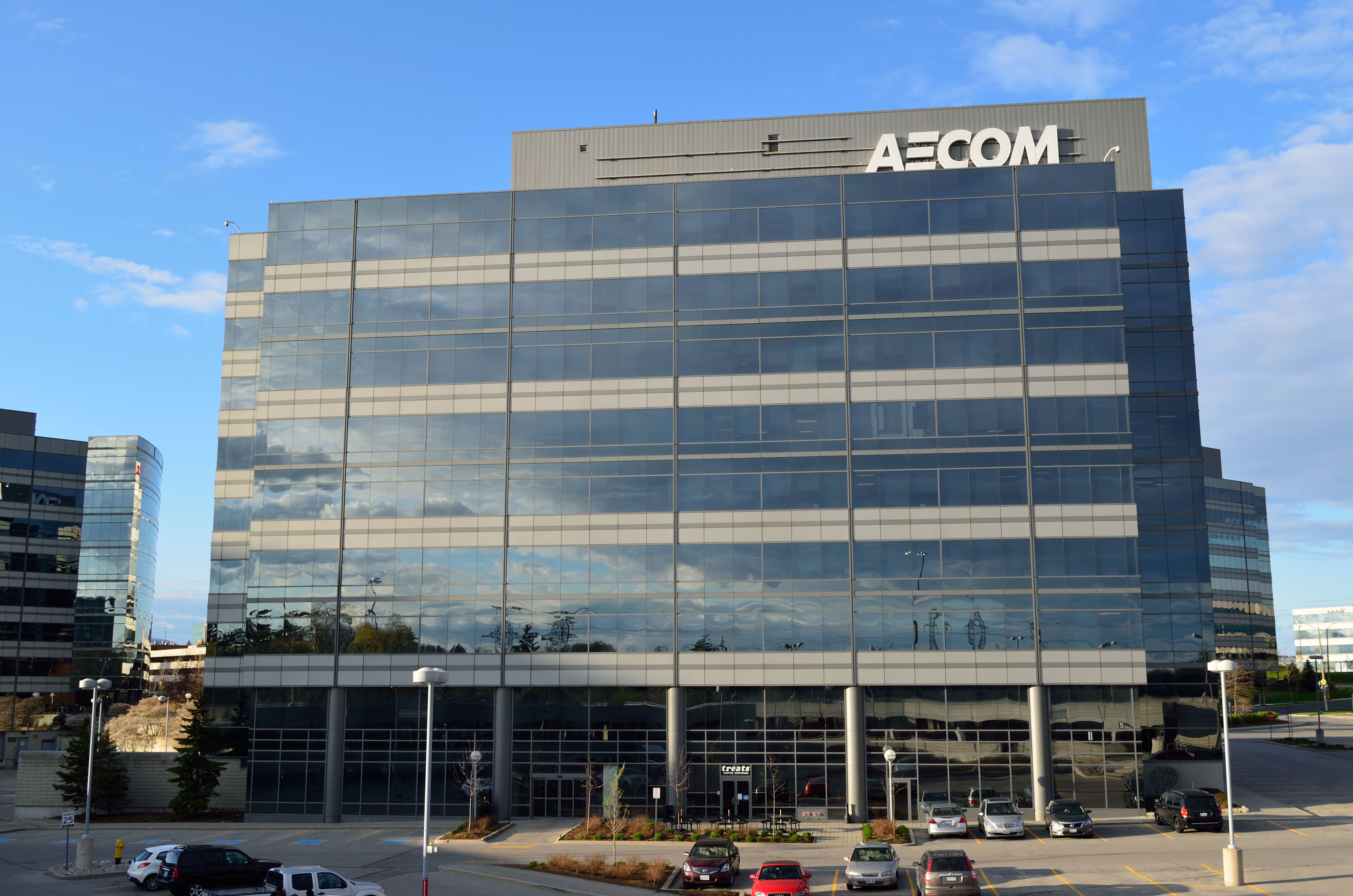
AECOM (, ; formerly AECOM Technology Corporation) is an American multinational infrastructure consulting firm. AECOM has approximately 51,000 employees, and is number 157 on the 2019 Fortune 500 list. The company's official name from 1990 to 2015 was AECOM Technology Corporation, and is now AECOM. The company is listed on the New York Stock Exchange (NYSE) under the ticker symbol ACM and on the Frankfurt Stock Exchange under the ticker symbol E6Z. In August 2021, AECOM announced plans to relocate its global headquarters from Los Angeles, California to Dallas, Texas. History AECOM traces its origins to Kentucky-based Ashland Oil & Refining Company, which in turn grew out of Swiss Drilling Company, founded in Oklahoma in 1910 by J. Fred Miles. He gained control of some 200,000 acres and formed Swiss Oil Company in Lexington. In 1924, Miles launched a refining operation called Ashland Refining Company, headed by Paul Blazer. While the parent company struggled, leading to t ... [...More Info...] [...Related Items...] OR: [Wikipedia] [Google] [Baidu] |
Leighton Contractors
CIMIC Group Limited (formerly Leighton Holdings) is an Australian construction contractor. It is active in the telecommunications, engineering and infrastructure, building and property, mining and resources, and environmental services industries. It has operations in Australia, Southeast Asia, New Zealand and the Middle East. Formerly listed on the Australian Securities Exchange, it is a subsidiary of Hochtief. CIMIC stands for Construction, Infrastructure, Mining and Concessions. History Founded in 1949 by Stanley Leighton, Leighton Holdings was first listed on the Melbourne Stock Exchange in 1962. The company formed Leighton Asia, based in Hong Kong, in 1975. In July 1983 Leighton Holdings, purchased Thiess Contractors, with its major shareholder, Hochtief, becoming a shareholder in Leighton Holdings. In April 1997 the Welded Mesh structural materials division was sold to Smorgon Steel. In 2000, Leighton Holdings bought a 70% stake in John Holland; this was increased to ... [...More Info...] [...Related Items...] OR: [Wikipedia] [Google] [Baidu] |
Wellington International Airport
Wellington International Airport (formerly known as Rongotai Airport) is an international airport located in the suburb of Rongotai in Wellington. It lies 3 NM or 5.5 km south-east from the city centre. It is a hub for Air New Zealand and Sounds Air. Wellington International Airport Limited, a joint venture between Infratil and the Wellington City Council, operates the airport. Wellington is the second busiest airport in New Zealand after Auckland, handling a total of 3,455,858 passengers in the year ending June 2022. The airport, in addition to linking many New Zealand destinations with national and regional carriers, also has links to major cities in eastern Australia. It is the home of some smaller general aviation businesses, including the Wellington Aero Club which operates from the general aviation area on the western side of the runway. The airport comprises a small site on the Rongotai isthmus, a stretch of low-lying land between Wellington proper and the Mirama ... [...More Info...] [...Related Items...] OR: [Wikipedia] [Google] [Baidu] |
Reversible Lane
A reversible lane (British English: tidal flow) is a lane in which traffic may travel in either direction, depending on certain conditions. Typically, it is meant to improve traffic flow during rush hours, by having overhead traffic lights and lighted street signs notify drivers which lanes are open or closed to driving or turning. Reversible lanes are also commonly found in tunnels and on bridges, and on the surrounding roadways – even where the lanes are not regularly reversed to handle normal changes in traffic flow. The presence of lane controls allows authorities to close or reverse lanes when unusual circumstances (such as construction or a traffic mishap) require use of fewer or more lanes to maintain orderly flow of traffic. Separation of flows Some more recent implementations of reversible lanes use a movable barrier to establish a physical separation between allowed and disallowed lanes of travel. In some systems, a concrete barrier is moved during low-traffic peri ... [...More Info...] [...Related Items...] OR: [Wikipedia] [Google] [Baidu] |
Wellington Region
Greater Wellington, also known as the Wellington Region (Māori: ''Te Upoko o te Ika''), is a non-unitary region of New Zealand that occupies the southernmost part of the North Island. The region covers an area of , and has a population of The region takes its name from Wellington, New Zealand's capital city and the region's seat. The Wellington urban area, including the cities of Wellington, Porirua, Lower Hutt, and Upper Hutt, accounts for percent of the region's population; other major urban areas include the Kapiti conurbation (Waikanae, Paraparaumu, Raumati Beach, Raumati South, and Paekākāriki) and the town of Masterton. Local government The region is administered by the Wellington Regional Council, which uses the promotional name Greater Wellington Regional Council. The council region covers the conurbation around the capital city, Wellington, and the cities of Lower Hutt, Porirua, and Upper Hutt, each of which has a rural hinterland; it extends up the west coa ... [...More Info...] [...Related Items...] OR: [Wikipedia] [Google] [Baidu] |
Mount Victoria Tunnel
The Mount Victoria Tunnel in the New Zealand capital city of Wellington is 623 metres (slightly more than a third of a mile) long and 5 metres (16.4 ft) in height, connecting Hataitai to the centre of Wellington and the suburb of Mount Victoria, under the mount of the same name. It is part of State Highway 1. History The tunnel was built in 15 months by the Hansford and Mills Construction Company. The project cost around £132,000 and greatly reduced travel time between the Eastern Suburbs and the central business district of Wellington. Construction employed a standard tunnel-excavation technique in which two teams of diggers begin on either side of the obstacle to be tunnelled through, eventually meeting in the centre. The initial breakthrough, when the two separate teams of diggers met, occurred at 2.30pm on 31 May 1930, and the first people to pass through the breakthrough were tunnellers Philip Gilbert and Alfred Graham. The tunnel was opened officially by the mayor ... [...More Info...] [...Related Items...] OR: [Wikipedia] [Google] [Baidu] |


