|
Tennyson Trail
The Tennyson Trail is a 14-mile walk from Carisbrooke to The Needles on the Isle of Wight. The route goes through Bowcombe Down, Brighstone Forest, Mottistone Down, Brook Down, Afton Down, Freshwater Bay, Tennyson Down, and West High Down to Alum Bay. The name of the trail comes from poet Alfred Lord Tennyson, a former resident of the Isle of Wight. There are several points of interest along the walk, including The Tennyson Monument on Tennyson Down, Farringford House and The Needles Batteries which overlook The Needles. Much of the trail, being a public byway, was formerly open to all traffic, including motor vehicles. By the early 2000s, off-road vehicles had become an increasing problem, and were damaging tracks, archaeological sites and wildlife habitats. In response, in 2006, the Isle of Wight council banned all motor vehicles from the entire length of the trail. The route can be joined at any point, or walked in either direction; however, below it is describe ... [...More Info...] [...Related Items...] OR: [Wikipedia] [Google] [Baidu] |
Tennyson Down
Tennyson Down is a hill at the west end of the Isle of Wight just south of Totland. Tennyson Down is a grassy, whale-backed ridge of chalk which rises to 482 ft/147m above sea level. Tennyson Down is named after the poet Lord Tennyson who lived at nearby Farringford House for nearly 40 years. The poet used to walk on the down almost every day, saying that the air was worth 'sixpence a pint'. Overview It is part of the chalk ridge that forms the backbone of the Isle of Wight, this ridge extends to the west for where it ends with The Needles. To the east the hill descends gently down to Freshwater Bay where the sea has cut through the ridge. To the south is Highdown Cliffs, a near vertical chalk cliff drop of over 100 metres to the sea below. The top of the Down is fairly flat and is predominantly grass downland which provides a wide area for walking. There is some scrubland and small trees mainly on the northern side which is away from the prevailing wind. The Down i ... [...More Info...] [...Related Items...] OR: [Wikipedia] [Google] [Baidu] |
Carisbrooke Castle From The West
Carisbrooke is a village on the south western outskirts of Newport, Isle of Wight and is best known as the site of Carisbrooke Castle. It also has a medieval parish church. St Mary's Church (overlooking Carisbrooke High Street with views to the castle), began life as part of a Benedictine priory, established by French monks about 1150. The priory was dissolved by King Henry V of England in 1415 during the French Wars. Neglect over the centuries took its toll, but in 1907 the church was restored to its full glory. Its most striking feature is the 14th century tower, rising in five stages with a turret at one corner and a battlemented and pinnacled crown. There is a Roman Villa discovered in the Victorian era on the site of the old vicarage. Transport It is served by Southern Vectis buses operating to Freshwater, Newport, Yarmouth and Ventnor, as well as some smaller villages. It was served by nearby Carisbrooke railway station until it closed in 1953. It is the starting point ... [...More Info...] [...Related Items...] OR: [Wikipedia] [Google] [Baidu] |
Compton Down
Compton Down is a hill on the Isle of Wight just to the east of Freshwater Bay Fresh water or freshwater is any naturally occurring liquid or frozen water containing low concentrations of dissolved salts and other total dissolved solids. Although the term specifically excludes seawater and brackish water, it does include .... It is part of the chalk ridge which forms the "backbone" of the Isle of Wight. It runs east to west, is approximately long and is predominantly grass downland. The Down is owned and managed by the National Trust and it provides the setting for the Freshwater Bay Golf Course at its western end. It is a Site of special scientific interest. The site was notified in 1951 for both its biological and geological features. References Natural England citation sheet Sites of Special Scientific Interest on the Isle of Wight Hills of the Isle of Wight National Trust properties on the Isle of Wight {{England-SSSI-stub ... [...More Info...] [...Related Items...] OR: [Wikipedia] [Google] [Baidu] |
Yarmouth, Isle Of Wight
Yarmouth is a town, port and civil parish in the west of the Isle of Wight, off the south coast of England. The town is named for its location at the mouth of the small Western Yar river. The town grew near the river crossing, originally a ferry, which was replaced with a road bridge in 1863.A Timeline History of Yarmouth compiled by Ian Dallison on behalf of The Yarmouth Society History 
[...More Info...] [...Related Items...] OR: [Wikipedia] [Google] [Baidu] |
B3399 Road
B roads are numbered routes in Great Britain of lesser importance than A roads. See the article Great Britain road numbering scheme The Great Britain road numbering scheme is a numbering scheme used to classify and identify all roads in Great Britain. Each road is given a single letter (which represents the road's category) and a subsequent number (between 1 and 4 digits). ... for the rationale behind the numbers allocated. B300 to B399 B3000 to B3099 B3100 to B3199 . B3200 to B3299 B3300 to B3399 B3400 to B3499 Footnotes References {{DEFAULTSORT:B Roads In Zone 3 Of The Great Britain Numbering Scheme 3 3 ... [...More Info...] [...Related Items...] OR: [Wikipedia] [Google] [Baidu] |
Shorwell
Shorwell (pronounced Shorrel by some locals and Islanders) is a village and civil parish on the Isle of Wight, United Kingdom. It is from Newport in the southwest of the island. Shorwell was one of Queen Victoria's favourite places to visit on the Isle of Wight. History The parish of Shorwell contains three manors: North Shorwell (or Northcourt), South Shorwell (or Westcourt), and Wolverton. The Shorwell helmet, a sixth-century Anglo-Saxon helmet, was found in the parish. Northcourt was built in 1615 by the Deputy Governor of the Island, Sir John Leigh, and is the islands's largest manor house. Features Northcourt Manor's grounds contain a spring, the Shor Well, which feeds a stream, one of the tributaries of the Buddle Brook. There is a pub called the Crown Inn, featuring a pond stocked with brown trout. Shorwell's terrain is hilly, and backs onto the chalk downs leading to Chale Bay and Compton Bay; several public footpaths crisscross this region, linking the village ... [...More Info...] [...Related Items...] OR: [Wikipedia] [Google] [Baidu] |
Worsley Trail
Worsley () is a village in the City of Salford, Greater Manchester, England, which in 2014 had a population of 10,090. It lies along Worsley Brook, west of Manchester. Within the boundaries of the historic county of Lancashire, there is evidence of Roman and Anglo-Saxon activity, including two Roman roads. The completion in 1761 of the Bridgewater Canal allowed Worsley to expand from a small village of cottage industries to an important town based upon cotton manufacture, iron-working, brick-making and extensive coal mining. Later expansion came after the First and Second World Wars, when large urban estates were built. Worsley Delph is a scheduled monument and a significant part of the town's historic centre is now a conservation area. History Toponymy Worsley is first mentioned in a Pipe roll of 1195–96 as ''Werkesleia'', in the claim of a Hugh Putrell to a part of the fee of two knights in nearby Barton-upon-Irwell and Worsley. There are many variations on the n ... [...More Info...] [...Related Items...] OR: [Wikipedia] [Google] [Baidu] |
Brook, Isle Of Wight
Brook is a village on the Isle of Wight, England.http://www.backofthewight.net According to the Post Office the 2011 census population was included in the civil parish of Brighstone. Background Brook is situated on the south west coast of the Island between Brighstone and Freshwater, and borders a section of rugged coastline, the Back of the Wight, facing into the English Channel and towards the famous Needles and west Wight cliffs. Brook's principal public attraction is its proximity to a section of coast which is used by the public for walking, fossil hunting, kitesurfing and windsurfing. There is a small 'green' by the beach and a National Trust-owned section of land with a small car park, the nearby hamlet of Brookgreen is also owned by them. There are no toilets, no cafe and no souvenir shops. A chine leads down to Brook Bay, which is a semi-circular sweep of semi-rocky beach facing south west. The prevailing south-westerly winds scour the beach and alternately either ... [...More Info...] [...Related Items...] OR: [Wikipedia] [Google] [Baidu] |
Carisbrooke Castle
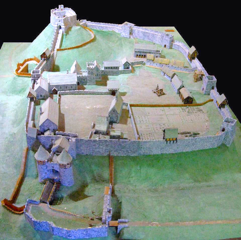
Carisbrooke Castle is a historic motte-and-bailey castle located in the village of Carisbrooke (near Newport), Isle of Wight, England. Charles I was imprisoned at the castle in the months prior to his trial. Early history The site of Carisbrooke Castle may have been occupied in pre- Roman times. A ruined wall suggests that there was a building there in late Roman times. The ''Anglo-Saxon Chronicle'' mentions that Wihtgar, cousin of King Cynric of Wessex, died in AD 544, and was buried there. The Jutes may have taken over the fort by the late 7th century. An Anglo-Saxon stronghold occupied the site during the 8th century. Around 1000, a wall was built around the hill as a defence against Viking raids. Later history From 1100 the castle remained in the possession of Richard de Redvers' family, and over the next two centuries his descendants improved the castle with stone walls, towers and a keep. In 1293, Countess Isabella de Fortibus, the last Redvers resident, sold th ... [...More Info...] [...Related Items...] OR: [Wikipedia] [Google] [Baidu] |
Newport, Isle Of Wight
Newport is the county town of the Isle of Wight, an island county off the south coast of England. The town is slightly north of the centre of the island, and is in the civil parish of Newport and Carisbrooke. It has a quay at the head of the navigable section of the River Medina, which flows northwards to Cowes and the Solent. In 2020 it had an estimated population of 26,109. History Mousterian remains, featuring tools made by Neanderthals at least 40,000 years ago, were found at Great Pan Farm in the 1970s. There are signs of Roman settlement in the area, which was probably known as ''Medina''. They include two known Roman villas, one of which, Newport Roman Villa, has been excavated and opened to the public. Information on the area resumes after the Norman Conquest. The first charter was granted in the late 12th century. In 1377 an invading French force burnt down much of the town while attempting to take Carisbrooke Castle, then under the command of Sir Hugh Tyrill. A ... [...More Info...] [...Related Items...] OR: [Wikipedia] [Google] [Baidu] |
Tennyson Monument, Tennyson Down, IW, UK
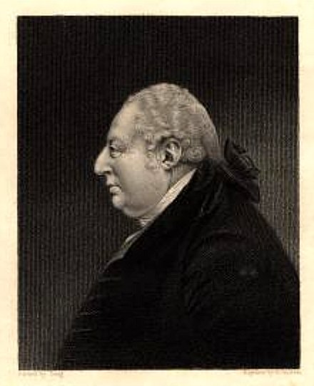
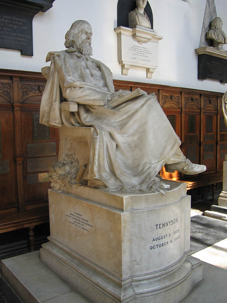
Alfred Tennyson, 1st Baron Tennyson (6 August 1809 – 6 October 1892) was an English poet. He was the Poet Laureate during much of Queen Victoria's reign. In 1829, Tennyson was awarded the Chancellor's Gold Medal at Cambridge for one of his first pieces, "Timbuktu". He published his first solo collection of poems, ''Poems, Chiefly Lyrical'', in 1830. "Claribel" and "Mariana", which remain some of Tennyson's most celebrated poems, were included in this volume. Although described by some critics as overly sentimental, his verse soon proved popular and brought Tennyson to the attention of well-known writers of the day, including Samuel Taylor Coleridge. Tennyson's early poetry, with its medievalism and powerful visual imagery, was a major influence on the Pre-Raphaelite Brotherhood. Tennyson also excelled at short lyrics, such as "Break, Break, Break", "The Charge of the Light Brigade", "Tears, Idle Tears", and "Crossing the Bar". Much of his verse was based on classical mytholo ... [...More Info...] [...Related Items...] OR: [Wikipedia] [Google] [Baidu] |


