|
Tennessee State Route 348
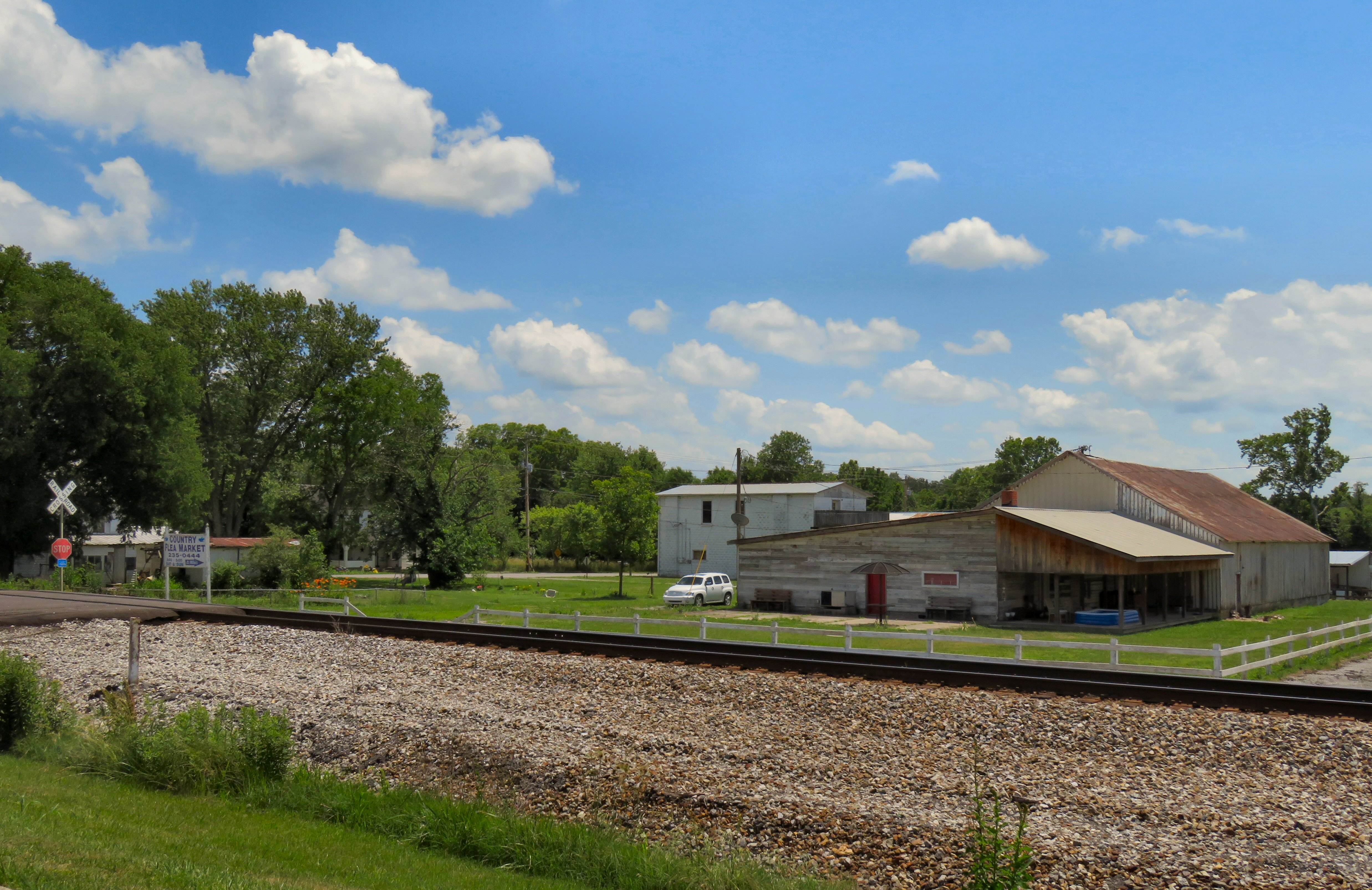
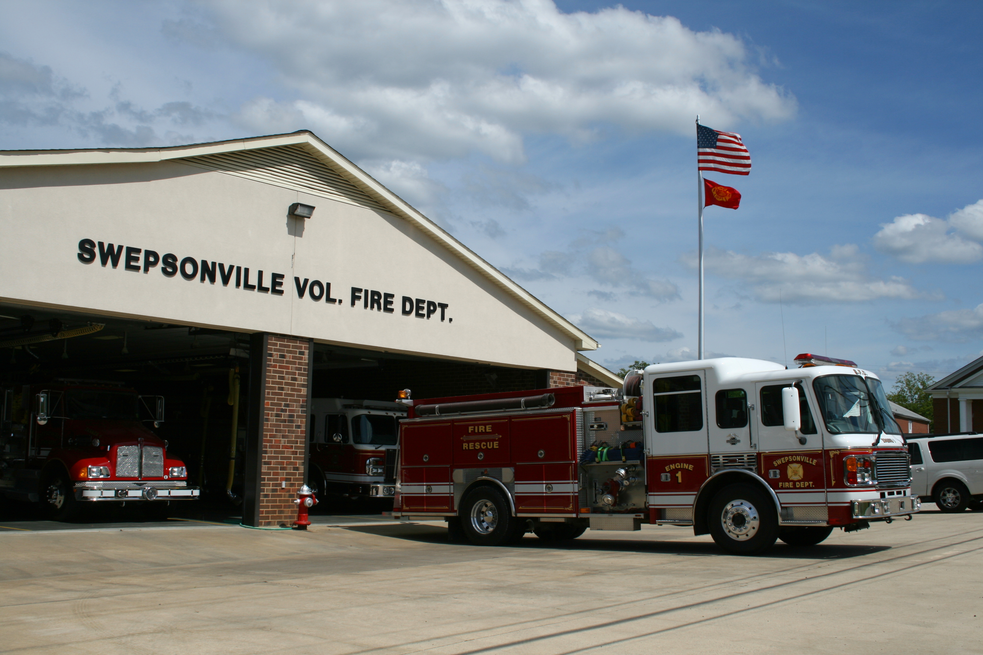
State Route 348 (SR 348) is a state highway in western Greene County, Tennessee. It serves the town of Mosheim and the communities of Midway, McDonald, Mohawk and Warrensburg. Route description SR 348 begins at an intersection with SR 340 (Fish Hatchery Road) in extreme western Greene County. It begins as McDonald Road and goes east toward Midway and like most roads in eastern Tennessee it is rather curvy. Before the route reaches Midway it passes through a small community called McDonald, it has only a volunteer fire department and an elementary School and of course some houses. In Midway SR 348 comes to an intersection with Midway Railroad Street which goes east and SR 348 turns south for a very short time and comes to a three-way intersection at which McDonald Road ends, Little Chuckey Road goes south and SR 348 turns east onto Midway Road. In Midway the route passes through Midway's "downtown" area. SR 348 passes over a railroad line and enters Mosheim city limits an ... [...More Info...] [...Related Items...] OR: [Wikipedia] [Google] [Baidu] |
Warrensburg, Tennessee
Warrensburg is an unincorporated community in western Greene County, Tennessee. Warrensburg is located on Tennessee State Route 340 State Route 340 (SR 340) is a state highway in the eastern portion of the U.S. state of Tennessee. It travels south-to-north through portions of Cocke, Greene and Hamblen counties. Route description Cocke County SR 340 begins in the mountai .... Historic Bible Covered Bridge Bible Covered Bridge is located in Warrensburg. It was built in as a private bridge for the Bible Family. The Greene County Heritage Trust took control of the bridge around 1972 and rehabilitated the Bridge, in 1987–1988 the Tennessee Department of Transportation, Greene County and The Federal Highway Administration built a new bridge adjacent to the covered bridge, The project also added rip-rat to the covered bridge and built a pull-off/parking area to provide access to the bridge. The state added offset railings to keep vehicular traffic away from the bridge and to f ... [...More Info...] [...Related Items...] OR: [Wikipedia] [Google] [Baidu] |
Mosheim, Tennessee
Mosheim (pronounced Moss-hime) is a town in Greene County, Tennessee, United States. The population was 2,479 at the 2020 census. History Mosheim (also pronounced "MOSS-eyem" without the "h" sound) originally called "Blue Springs" after a spring that flows through the town, was settled ''circa'' 1800. Many of its initial settlers were German Lutherans. In 1872, the Lutherans established a local college at Blue Springs known as Mosheim Institute, after the German theologian, Johann Lorenz von Mosheim (1693–1755). That same year, the name of the town was officially changed to "Mosheim", after the college.Jim Matheny,Why Do They Call It That: Mosheim in Greene County" ''WBIR.COM'', 29 July 2011. Retrieved: 29 July 2011. The Civil War Battle of Blue Springs was fought near Mosheim on October 10, 1863. The town of Mosheim held reenactments of this battle every year from 1991 until 2008, but ceased performing the reenactment due to financial obligations. Several participants of ... [...More Info...] [...Related Items...] OR: [Wikipedia] [Google] [Baidu] |
Greene County, Tennessee
Greene County is a county located on the eastern border of the U.S. state of Tennessee. As of the 2020 census, the population was 70,152. Its county seat is Greeneville. Greene County comprises the Greeneville, TN Micropolitan Statistical Area. History Greene County developed from the "Nolichucky settlement," established by pioneer Jacob Brown on land leased in the early 1770s from the Cherokee people. The Nolichucky settlement was aligned with the Watauga settlement, centered in modern Elizabethton. After the United States became independent, Greene County was formed in 1783 from the original Washington County, North Carolina, part of the former Washington District. The county is named for Major General Nathanael Greene (1742-1786), a major general in the Continental Army from Rhode Island. John Crockett, father of Davy Crockett, and his wife settled in the county near Limestone. Davy Crockett was born there in 1786. At the time, the area was part of the extra-legal sta ... [...More Info...] [...Related Items...] OR: [Wikipedia] [Google] [Baidu] |
Midway, Greene County, Tennessee
Midway is an unincorporated community in Greene County, Tennessee Tennessee ( , ), officially the State of Tennessee, is a landlocked state in the Southeastern region of the United States. Tennessee is the 36th-largest by area and the 15th-most populous of the 50 states. It is bordered by Kentucky to th ..., United States. Midway is located on Tennessee State Route 348 west-southwest of Mosheim. Minco Fused Silica Solutions for the World was headquartered in Midway until 3M purchased the plant in 2015. The town of Mosheim has annexed some portions of Midway. Recreation Midway United Methodist Church maintains a community park. Postal service Midway currently has a shared post office with the town of Mosheim. The post office is located at 9280 West Andrew Johnson Highway, Mosheim, Tennessee, 37818. Midway has its own zip code (37809). References Unincorporated communities in Greene County, Tennessee Unincorporated communities in Tennessee Mosheim, Tennes ... [...More Info...] [...Related Items...] OR: [Wikipedia] [Google] [Baidu] |
Mohawk, Tennessee
Mohawk is an unincorporated community in western Greene County, eastern Tennessee, located west of the town of Greeneville. Its post office has the zip code 37810. The community is situated between two hills near the confluence of Riley and Lick creeks, just west of where the Norfolk Southern tracks cross a bridge over Lick Creek. Mohawk Road connects the community to U.S. Route 11E (Andrew Johnson Highway) to the northeast and State Highway 348 (McDonald Road) to the southwest. According to local tradition, Mohawk was originally known as "Lick Creek Siding," and later as "Pane." The name was changed by residents to "Mohawk" after a group of Indians passed through the area during the Civil War. By the 1940s, Mohawk had developed as a "fairly prosperous rural community." It had a roller mill, a car dealership, and a general store. Education Mohawk is home to McDonald Elementary School, a Greene County public school that includes Pre-kindergarten through Fifth Grade. The ... [...More Info...] [...Related Items...] OR: [Wikipedia] [Google] [Baidu] |
Tennessee State Route 340
State Route 340 (SR 340) is a state highway in the eastern portion of the U.S. state of Tennessee. It travels south-to-north through portions of Cocke, Greene and Hamblen counties. Route description Cocke County SR 340 begins in the mountains of Cocke County at an intersection with US 25/US 70/ SR 9 just west of Del Rio along the banks of the French Broad River. It winds its way northward through the mountains before entering farmland and passing through Parrottsville, where it has an intersection with US 321/ SR 35. It then passes through some ridges and rolling countryside before crossing into Greene County. Greene County SR 340 then crosses a bridge over the Nolichucky River before turning northeast to run parallel to the river and have an intersection SR 349. It continues northeast through farmland to pass through Warrensburg before having an intersection with SR 348. Shortly afterwards, SR 340 crosses into Hamblen County. Hamblen County SR 340 then leaves the ... [...More Info...] [...Related Items...] OR: [Wikipedia] [Google] [Baidu] |
East Tennessee
East Tennessee is one of the three Grand Divisions of Tennessee defined in state law. Geographically and socioculturally distinct, it comprises approximately the eastern third of the U.S. state of Tennessee. East Tennessee consists of 33 counties, 30 located within the Eastern Time Zone and three counties in the Central Time Zone, namely Bledsoe, Cumberland, and Marion. East Tennessee is entirely located within the Appalachian Mountains, although the landforms range from densely forested mountains to broad river valleys. The region contains the major cities of Knoxville and Chattanooga, Tennessee's third and fourth largest cities, respectively, and the Tri-Cities, the state's sixth largest population center. During the American Civil War, many East Tennesseans remained loyal to the Union even as the state seceded and joined the Confederacy. Early in the war, Unionist delegates unsuccessfully attempted to split East Tennessee into a separate state that would remain as part ... [...More Info...] [...Related Items...] OR: [Wikipedia] [Google] [Baidu] |
Volunteer Fire Department
A volunteer fire department (VFD) is a fire department of volunteers who perform fire suppression and other related emergency services for a local jurisdiction. Volunteer and retained (on-call) firefighters are expected to be on call to respond to emergency calls for long periods of time, and are summoned to the fire station when their services are needed. They are also expected to attend other non-emergency duties as well (training, fundraising, equipment maintenance, etc.). Volunteer firefighters contrast with paid firefighters who work full or part-time and receive a salary. Some volunteer firefighters may be part of a combination fire department that employs both full-time and volunteer firefighters. On-call firefighters who receive some pay for their work are known as call firefighters in the United States, and retained firefighters in the United Kingdom and Ireland. International The earliest firefighting organizations were made up of volunteers. The first large organiz ... [...More Info...] [...Related Items...] OR: [Wikipedia] [Google] [Baidu] |
Elementary School
A primary school (in Ireland, the United Kingdom, Australia, Trinidad and Tobago, Jamaica, and South Africa), junior school (in Australia), elementary school or grade school (in North America and the Philippines) is a school for primary education of children who are four to eleven years of age. Primary schooling follows pre-school and precedes secondary schooling. The International Standard Classification of Education considers primary education as a single phase where programmes are typically designed to provide fundamental skills in reading, writing, and mathematics and to establish a solid foundation for learning. This is International Standard Classification of Education#Level 1, ISCED Level 1: Primary education or first stage of basic education.Annex III in the ISCED 2011 English.pdf Na ... [...More Info...] [...Related Items...] OR: [Wikipedia] [Google] [Baidu] |
West Greene High School (Tennessee)
West Greene High School is a high school in Greene County located at 275 West Greene Drive in Mosheim, Tennessee Mosheim (pronounced Moss-hime) is a town in Greene County, Tennessee, United States. The population was 2,479 at the 2020 census. History Mosheim (also pronounced "MOSS-eyem" without the "h" sound) originally called "Blue Springs" after a spring .... It is operated by the Greene County School system. History It consolidates Mosheim, McDonald, Glenwood, and Warrensburg schools. Warrensburg is no longer open. Mosheim High School was closed when WGHS opened in 1966. Mosheim High School occupied a larger campus than WGHS but served grades 1-12 with an enrollment of around 1000 students. In 1966, Mosheim High became Mosheim Elementary and continues to serve grades K-8. In 1973, the large "Old Mosheim High School" building was demolished to make way for a smaller, open-classroom elementary school. Feeder schools * Glenwood School (closed in 2019) * Mosheim Elementary * We ... [...More Info...] [...Related Items...] OR: [Wikipedia] [Google] [Baidu] |
Tennessee State Route 34
State Route 34 (SR 34) is a state highway located in East Tennessee. The route traverses several cities through eight counties from the Knoxville, Tennessee, Knoxville area to the North Carolina state line via Greeneville, Tennessee, Greeneville and Bristol, Tennessee, Bristol. The portion from Carter, Tennessee, Carter to Bristol is concurrency (road), concurrent with U.S. Route 11E (US 11E) while the portion from Bristol to North Carolina is concurrent with U.S. Route 421 in Tennessee, US 421. Route description SR 34 is a hidden route as it follows the routes of certain U.S. highways throughout its course. SR 34 begins with following US 11E (Andrew Johnson Highway) east of Knoxville. It continues to follow that U.S. route through Jefferson City, Tennessee, Jefferson City and Morristown, Tennessee, Morristown. Continuing to concurrently with US 11E, SR 34 crosses Interstate 81 in Tennessee, Interstate 81 (I-81) and traverses Greeneville, Tennessee, Greenevil ... [...More Info...] [...Related Items...] OR: [Wikipedia] [Google] [Baidu] |


