|
Telephone Numbers In Cape Verde
The following are telephone codes in Cape Verde. Overview Telephone numbers in Cape Verde are 7 digits long (except for special 1xx codes), and must always be dialed in their entirety (a closed dialing plan). The first 3 digits of a fixed-line (non-mobile) number correspond to its geographic area. Calls within a given 2xx area, and between certain areas, are considered local calls and priced accordingly. Mobile numbers have no geographic area, and calls to or from national mobile numbers are treated the same regardless of location. History On July 3 2004, 2 was prepended to all fixed-line numbers, and 9 to all mobile numbers, increasing the number length to 7 digits. Calling format * xxx xxxx - calling inside Cape Verde * +238 xxx xxxx - calling from outside Cape Verde The NSN length is seven digits. Numbering plan Number ranges In all cases listed, when a 2x range is split between two islands, one takes 2x0 through 2x4, while the other takes 2x5 through 2x9. ... [...More Info...] [...Related Items...] OR: [Wikipedia] [Google] [Baidu] |
Cape Verde
, national_anthem = () , official_languages = Portuguese , national_languages = Cape Verdean Creole , capital = Praia , coordinates = , largest_city = capital , demonym = Cape Verdean or Cabo Verdean , ethnic_groups_year = 2017 , government_type = Unitary semi-presidential republic , leader_title1 = President , leader_name1 = José Maria Neves , leader_title2 = Prime Minister , leader_name2 = Ulisses Correia e Silva , legislature = National Assembly , area_rank = 166th , area_km2 = 4033 , area_sq_mi = 1,557 , percent_water = negligible , population_census = 561,901 , population_census_rank = 172nd , population_census_year = 2021 , population_density_km2 = 123.7 , population_density_sq_mi = 325.0 , population_density_rank = 89th , GDP_PPP ... [...More Info...] [...Related Items...] OR: [Wikipedia] [Google] [Baidu] |
Sal, Cape Verde
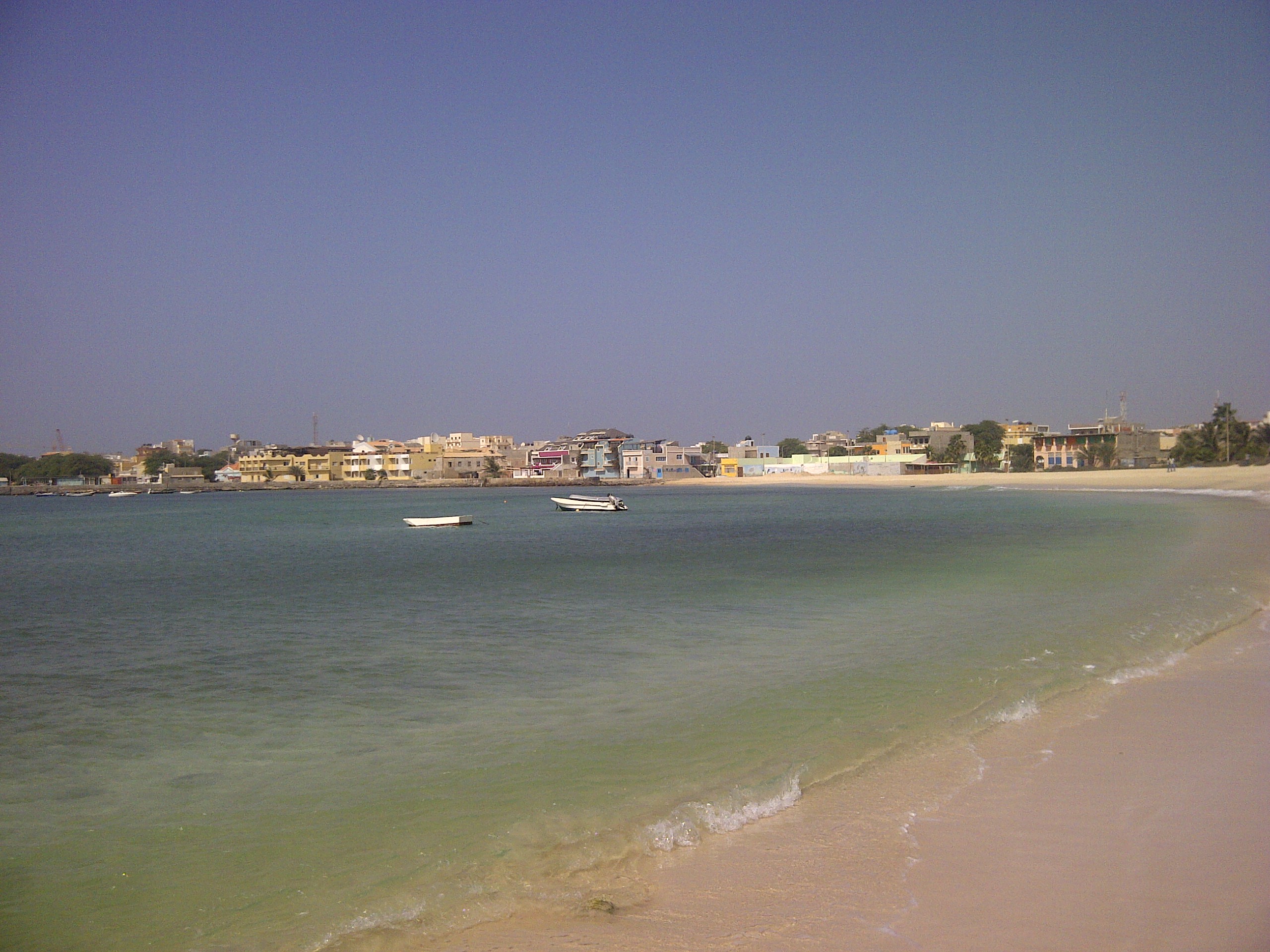
Sal (Portuguese for "salt") is an island in Cape Verde. Sal is a tourist destination with white sandy beaches and over 350 days of sunshine a year. It is one of the three sandy eastern islands of the Cape Verde archipelago in the central Atlantic Ocean, off the west coast of Africa. Cabo Verde is known for year-round kiteboarding, for the large reserve of Caretta turtles which hatch from July to September, and the music of Cesaria Evora. History For Europeans , the island was discovered on 3 December 1460 and named ''Llana'' ("flat"). This name was changed into the current "Sal" when the two large salt ponds (Pedra de Lume and Santa Maria) were discovered. The first three centuries after its discovery, the island was only sparsely inhabited; in 1720 there was a small fishing village near present Palmeira. This changed when the salt industry was developed at the end of the 18th century, starting in Pedra de Lume. Santa Maria was founded in the south of the island in 1830 by ... [...More Info...] [...Related Items...] OR: [Wikipedia] [Google] [Baidu] |
Cidade Velha
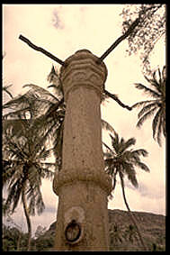
Cidade Velha (Portuguese for "old city", also: ''Santiago de Cabo Verde'') is a cityCabo Verde, Statistical Yearbook 2015 Instituto Nacional de Estatística, p. 32-33 in the southern part of the island of , . Founded in 1462, [...More Info...] [...Related Items...] OR: [Wikipedia] [Google] [Baidu] |
Tarrafal, Cape Verde
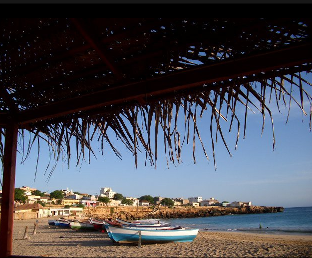
Tarrafal (also: ''Mangui'' or ''Mangue'') is a cityCabo Verde, Statistical Yearbook 2015 Instituto Nacional de Estatística, p. 32-33 in the northern part of the island of , . In 2010 its population was 6,656. It is a fishing port situated on the northwestern coast. It constitutes the seat of the |
Santa Catarina, Cape Verde
Santa Catarina is a ''concelho'' (municipality) of Cape Verde. It is situated in the western part of the island of Santiago. Its seat is the city of Assomada. Its population was 45,920 in 2017 (estimate). Its area is . Subdivisions The municipality consists of one ''freguesia'' (civil parish), Santa Catarina. The ''freguesia'' is subdivided into the following settlements (population data ): * Achada Galego (pop: 865) * Achada Gomes (pop: 743) * Achada Lazão (pop: 2) * Achada Leite (pop: 142) * Achada Lem (pop: 2,088) *Achada Ponta (pop: 195) * Achada Tossa (pop: 742) * Aguas Podres (pop: 205) * Arribada (pop: 286) *Assomada (pop: 12,332, city)Cabo Verde, Statistical Yearbook 2015 [...More Info...] [...Related Items...] OR: [Wikipedia] [Google] [Baidu] |
Praia
Praia (, Portuguese language, Portuguese for "beach") is the capital and largest city of Cape Verde.Cape Verde, Statistical Yearbook 2015 Instituto Nacional de Estatística (Cape Verde), Instituto Nacional de Estatística Located on the southern coast of Santiago, Cape Verde, Santiago island, within the Sotavento Islands group, the city is the seat of the Praia, Cape Verde (municipality), Praia Municipality. Praia is the economic, political, and cultural center of Cape Verde. History  The island of Santiago was discovered by António da Noli in 1460.
 [...More Info...] [...Related Items...] OR: [Wikipedia] [Google] [Baidu] |
Santiago, Cape Verde
Santiago (Portuguese for “ Saint James”) is the largest island of Cape Verde, its most important agricultural centre and home to half the nation's population. Part of the Sotavento Islands, it lies between the islands of Maio ( to the east) and Fogo ( to the west). It was the first of the islands to be settled: the town of Ribeira Grande (now Cidade Velha and a UNESCO World Heritage Site) was founded in 1462. Santiago is home to the nation's capital city of Praia. History The eastern side of the nearby island of Fogo collapsed into the ocean 73,000 years ago, creating a tsunami 170 meters high which struck Santiago. In 1460, António de Noli became the first to visit the island. Da Noli settled at ''Ribeira Grande'' (now Cidade Velha) with his family members and Portuguese from Algarve and Alentejo in 1462.Valor simbóli ... [...More Info...] [...Related Items...] OR: [Wikipedia] [Google] [Baidu] |
Calheta, Cape Verde
Calheta is a townCabo Verde, Statistical Yearbook 2015 Instituto Nacional de Estatística, p. 32-33 in the western part of the island of Maio. It is situated on the coast, around 11 km north of the island capital and 6 km north of [...More Info...] [...Related Items...] OR: [Wikipedia] [Google] [Baidu] |
Porto Inglês
Porto Inglês (Portuguese for "English port", also: ''Cidade do Maio'', ''Vila do Maio'') is a cityCabo Verde, Statistical Yearbook 2015 Instituto Nacional de Estatística, p. 32-33 in the southwestern part of the island of Maio in southeastern Cape Verde. It is the main urban settlement of the island, and also seat of the Maio Municipality. Its population ... [...More Info...] [...Related Items...] OR: [Wikipedia] [Google] [Baidu] |
Fundo Das Figueiras
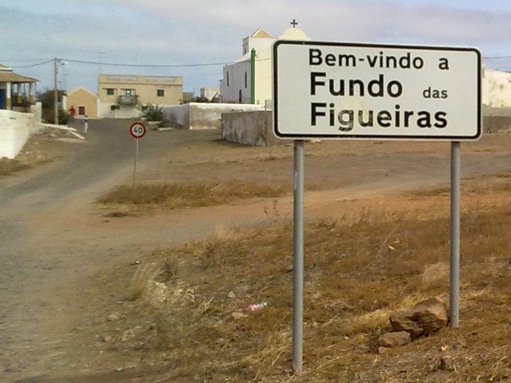
Fundo das Figueiras is a village in the eastern part of the island of Boa Vista. The village is around 21 km east of the island capital of Sal Rei. It is the seat of the civil parish of São João Baptista. 2 km to the south is the village Cabeça dos Tarrafes and 8 km southeast is Ponta Meringuel, the easternmost point in Cape Verde. The village has a church of Saint John Baptist (São João Baptista).Cape Verde Islands pocket guide, Emma Gregg, ''Berlitz'', 2009. Since 2008, an NGO has been active protecting turtle egg laying sites on the Porto Ferreira beach, east of Fundo das Figueiras. See also *List of villages and settlements in Cape Verde This is a list of villages and smaller settlements in Cape Verde: Boa Vista * Bofarreira * Cabeça dos Tarrafes * Curral Velho - abandoned settlement * Espingueira - abandoned settlement * Estância de Baixo * Fundo das Figueiras * João ... References {{Boa Vista, Cape Verde Villages and settlements in Boa Vist ... [...More Info...] [...Related Items...] OR: [Wikipedia] [Google] [Baidu] |
Sal Rei
Sal Rei is a cityCabo Verde, Statistical Yearbook 2015 Instituto Nacional de Estatística, p. 32-33 on the northwestern coast of the island of Boa Vista in eastern . Sal Rei is the island's main urban settlement, and the seat of the Boa Vista Municipality. In 2010 i ... [...More Info...] [...Related Items...] OR: [Wikipedia] [Google] [Baidu] |
Maio, Cape Verde
Maio is the easternmost of the Sotavento islands of Cape Verde. Maio is located south of the island of Boa Vista and east of Santiago. Administratively, the island forms one ''concelho'' (municipality): Maio. History The island was discovered in 1460. It was first settled at the end of the 16th century, when the land was used to raise livestock, especially goats. Salt was first exploited in the 17th century which caused the population to grow. The English exported salt to Europe from Porto Inglês, hence the name of that city.História Municipio do Maio The inconclusive was fought between British and French |


