|
Taohe
Tao River () is a right tributary of China's Yellow River. It starts in Xiqing Mountains () near the Gansu–Qinghai border, flows eastward across Gannan Tibetan Autonomous Prefecture, and then northward more or less along the border between Dingxi Prefecture-level City in the east and Gannan and Linxia Prefectures in the west. It flows into the Yellow River (actually, the Liujiaxia Reservoir) near Liujiaxia Town (the county seat of Yongjing County), just upstream of Liujiaxia Dam. Hydro power A number of dams with hydroelectric power plants have been constructed on the Tao River. According to Google Maps, they include dams at the following locations (upstream to downstream): * —Gucheng Station, near Zhongzhai Town () in Min County Min County or Minxian is administratively under the control of the prefecture-level city of Dingxi, in the south of Gansu province, China. In ancient times, it was known as Lintao County due to its location along the Tao River. It was founded as ... [...More Info...] [...Related Items...] OR: [Wikipedia] [Google] [Baidu] |
刘家峡水库
The Liujiaxia Dam () is a major hydroelectric dam on the upper Yellow River, in Linxia Hui Autonomous Prefecture of China's Gansu Province. The dam and its hydroelectric facility (Liujiaxia Hydroelectric Station, ) are located in Liujia Gorge, or ''Liujiaxia'' (), just downstream from where the Tao River flows into the Yellow River. The site is on the eastern outskirts of Liujiaxia Town. Since Liujiaxia Town (China), Town is the county seat of Yongjing County, Yongjing County, it is often marked on less detailed maps simply as "Yongjing". The Liujiaxia Reservoir () formed by the dam is the largest body of water within Gansu. The primary purpose of the dam is generating electricity; in addition, it is used for flood control, irrigation, and "ice flood prevention". The dam's location is about west-south-west (or upstream) from the provincial capital Lanzhou. Liujiaxia Dam is a concrete gravity dam high and wide on top. The main section of the dam is long; including auxiliary se ... [...More Info...] [...Related Items...] OR: [Wikipedia] [Google] [Baidu] |
Yellow River
The Yellow River or Huang He (Chinese: , Standard Beijing Mandarin, Mandarin: ''Huáng hé'' ) is the second-longest river in China, after the Yangtze River, and the List of rivers by length, sixth-longest river system in the world at the estimated length of . Originating in the Bayan Har Mountains in Qinghai province of Western China, it flows through nine provinces, and it empties into the Bohai Sea near the city of Dongying in Shandong province. The Yellow River basin has an east–west extent of about and a north–south extent of about . Its total drainage area is about . The Yellow River's basin was the Yellow River civilization, birthplace of ancient Chinese, and, by extension, Far East, Far Eastern civilization, and it was the most prosperous region in early Chinese history. There are frequent devastating natural disasters in China, floods and course changes produced by the continual elevation of the river bed, sometimes above the level of its surrounding farm fi ... [...More Info...] [...Related Items...] OR: [Wikipedia] [Google] [Baidu] |
Xiqing Mountains
Xiqing District () is a district in Tianjin, People's Republic of China. History The current Xiqing area came into existence in the mid and late Tang dynasty. In Northern Song (Song dynasty) period, this area was the border of Song and Liao (Liao dynasty). In Ming dynasty, this area was under control of Jinghai County and Wuqing County, Hejian Fu. In Qing dynasty, it was governed by Tianjin Fu. In 1912, after the founding of Republic of China, this area was named Tianjin County, Zhili Province. After 1949, it became a special area of Hebei province and Yangliuqing became its center of governance. In 1952, this area became part of Tianjin Municipality. In 1953, it got its name Xijiaoqu (West Suburb). In 1992, it was named Xiqing District. Geography Xiqing District is located in the southwest of Tianjin Municipality, on the east bordering Hongqiao District, Nankai District, Hexi District, and Jinnan District, to the south across the Duliujian River facing Jinghai District, on the w ... [...More Info...] [...Related Items...] OR: [Wikipedia] [Google] [Baidu] |
Gansu
Gansu (, ; alternately romanized as Kansu) is a province in Northwest China. Its capital and largest city is Lanzhou, in the southeast part of the province. The seventh-largest administrative district by area at , Gansu lies between the Tibetan and Loess plateaus and borders Mongolia ( Govi-Altai Province), Inner Mongolia and Ningxia to the north, Xinjiang and Qinghai to the west, Sichuan to the south and Shaanxi to the east. The Yellow River passes through the southern part of the province. Part of Gansu's territory is located in the Gobi Desert. The Qilian mountains are located in the south of the Province. Gansu has a population of 26 million, ranking 22nd in China. Its population is mostly Han, along with Hui, Dongxiang and Tibetan minorities. The most common language is Mandarin. Gansu is among the poorest administrative divisions in China, ranking 31st, last place, in GDP per capita as of 2019. The State of Qin originated in what is now southeastern Gansu and ... [...More Info...] [...Related Items...] OR: [Wikipedia] [Google] [Baidu] |
Qinghai
Qinghai (; alternately romanized as Tsinghai, Ch'inghai), also known as Kokonor, is a landlocked province in the northwest of the People's Republic of China. It is the fourth largest province of China by area and has the third smallest population. Its capital and largest city is Xining. Qinghai borders Gansu on the northeast, Xinjiang on the northwest, Sichuan on the southeast and the Tibet Autonomous Region on the southwest. Qinghai province was established in 1928 during the period of the Republic of China, and until 1949 was ruled by Chinese Muslim warlords known as the Ma clique. The Chinese name "Qinghai" is after Qinghai Lake, the largest lake in China. The lake is known as Tso ngon in Tibetan, and as Kokonor Lake in English, derived from the Mongol Oirat name for Qinghai Lake. Both Tso ngon and Kokonor are names found in historic documents to describe the region.Gangchen Khishong, 2001. ''Tibet and Manchu: An Assessment of Tibet-Manchu Relations in Five Phases of ... [...More Info...] [...Related Items...] OR: [Wikipedia] [Google] [Baidu] |
Gannan Tibetan Autonomous Prefecture
Gānnán Tibetan Autonomous Prefecture (; ) is an autonomous prefecture in southern Gansu Province, China, bordering Linxia to the north, Dingxi to the northeast, Longnan to the east and Aba (Sichuan province) to the south . It includes Xiahe and the Labrang Monastery, Luqu, Maqu and other mostly Tibetan towns and villages. Gannan has an area of and its capital is Hezuo city (Zoi). In the first year of the proclamation of Gannan Autonomous District, the district-seat was at the Labrang Town of Sangqu. Population According to the 2010 census, Gannan has 689,132 inhabitantsCensus 2012 http://www.geohive.com/cntry/cn-62.aspx (population density: 17.14 inhabitants per km2). Ethnic groups in Gannan, 2000 census Transport In the prefecture is high-way G213. In 2013, the Gannan Xiahe Airport was opened. Subdivisions 1 county level city, 7 counties. Climate Gannan, as illustrated by this chart for Xiahe, has an alpine subarctic climate (Köppen Köppen is a German sur ... [...More Info...] [...Related Items...] OR: [Wikipedia] [Google] [Baidu] |
Dingxi
Dingxi (), also known as Longyou () is a prefecture-level city in the southeast of Gansu province, People's Republic of China. As of the 2020 census, its population was 2,524,097 inhabitants, of which 422,383 lived in the built-up (or metro) area made of Anding urban district. History Dingxi was important in the development of some of China's earliest cultures, specifically along the Wei River, one of the Yellow River's biggest tributaries. Numerous Neolithic sites from various cultures are found throughout the area. A series of earthquakes in July 2013 killed at least 95 people and destroyed 120,000 homes. Geography Dingxi City is located in central Gansu province, east of Lanzhou, giving it the nickname the "eastern gateway". The Wei River, a tributary of the Yellow River flows through the district and provides it with the majority of its water. Dingxi is semi-arid, with little precipitation. Even though sunlight here can be intense, temperatures are generally cool. The surro ... [...More Info...] [...Related Items...] OR: [Wikipedia] [Google] [Baidu] |
Linxia Hui Autonomous Prefecture
Linxia Hui Autonomous Prefecture (, Xiao'erjing: ), formerly known as Hezhou (河州) and Baohan (枹罕), is located in Gansu Province, south of the provincial capital Lanzhou, bordering Qinghai to the west. It is an autonomous prefecture for the Muslim Hui people, a large Chinese ethnic group. It also includes two autonomous counties for other Muslim groups, namely Bonan, Dongxiang and Salar. Geography and climate Linxia Prefecture is located in southwestern central Gansu. It is just south of Lanzhou and borders Qinghai Province in the west, Gannan Tibetan Autonomous Prefecture in the south and the Dingxi prefecture-level city in the east. The terrain is highlands, mountains and ''loess'' hills. Elevation averages 2000 meters above sea-level. The Yellow River, which gets its muddy yellow color from the loess, runs through the northwestern part of the prefecture. Dammed at Liujiaxia (Yongjing County), it forms the large Liujiaxia Reservoir in the north-central part of the c ... [...More Info...] [...Related Items...] OR: [Wikipedia] [Google] [Baidu] |
Liujiaxia Reservoir
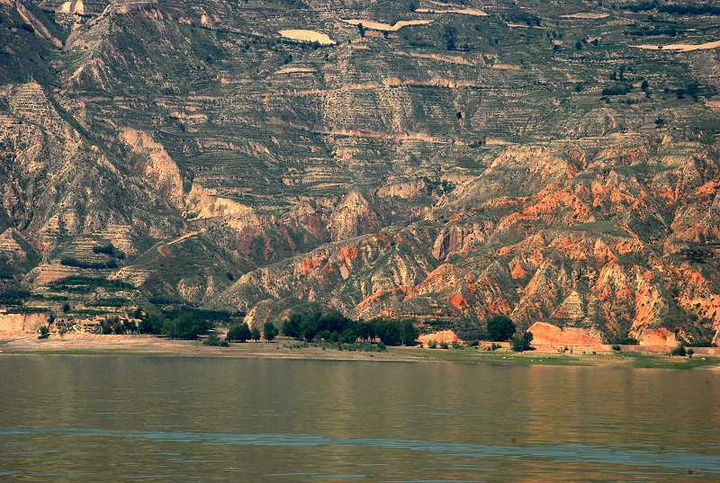
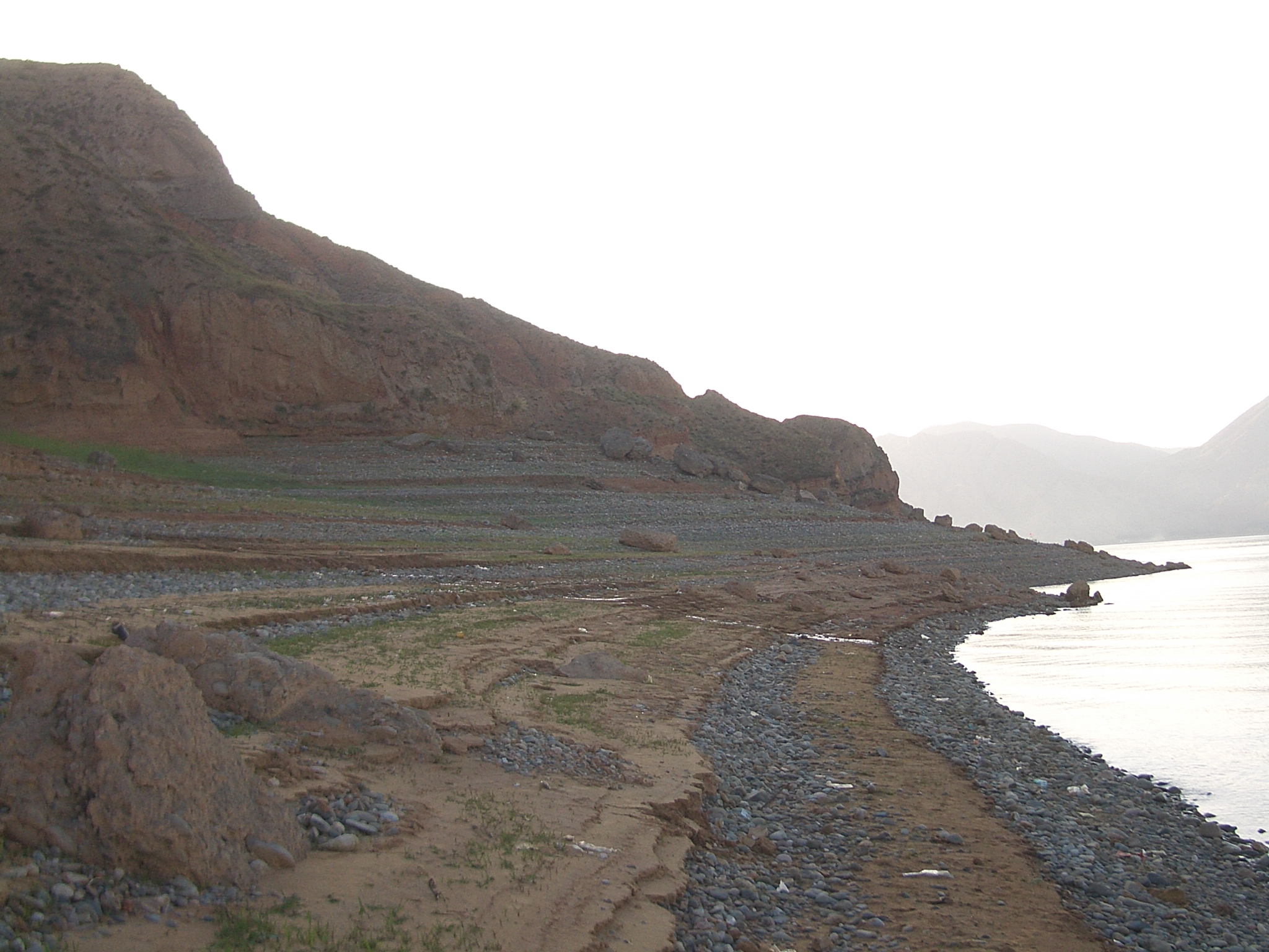
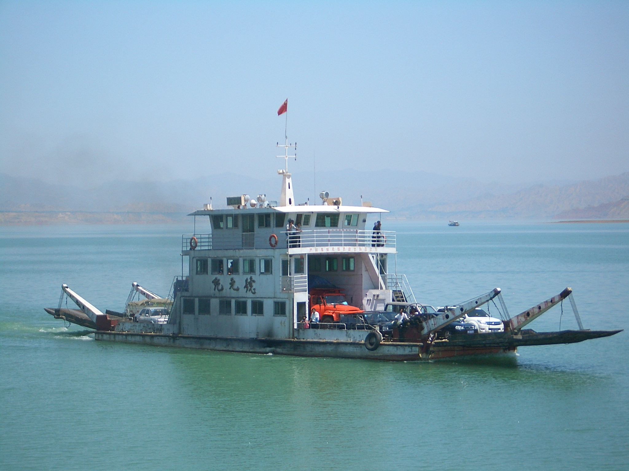
The Liujiaxia Reservoir () is a reservoir in China's Gansu Province, formed by the Liujiaxia Dam on the Yellow River. It occupies over ,"临夏旅游" (Linxia Tourism), published by Linxia Hui Autonomous Prefecture Tourist Board, 2003. 146 pages. No ISBN. Pages 26=27. and is located entirely within Linxia Hui Autonomous Prefecture. The reservoir's shores belong to the prefecture's Yongjing County (the narrow northern part, and the north shore of the wide southern part), Dongxiang Autonomous County (eastern part of the south shore), Linxia County (western part of the south shore), and Jishishan Bonan, Dongxiang and Salar Autonomous County (the small westernmost section of the south shore). The Daxia River and the Tao River flow into the reservoirs, forming wide bays. The water level in Liujiaxia Reservoir is usually reported as above the sea level, but in practice it varies significantly, in accordance with the water flow and human needs. The initial capacity of the reservoir was ... [...More Info...] [...Related Items...] OR: [Wikipedia] [Google] [Baidu] |
Yongjing County
Yongjing (, Xiao'erjing: ) is a county in Linxia Hui Autonomous Prefecture in China's Gansu Province. The county seat, the town (''zhen'') of Liujiaxia (), is located about 80 km south-west from the provincial capital city, Lanzhou. As is the case with most Chinese county seats, Liujiaxia Town is labeled on most less-detailed maps simply as "Yongjing" or "Yongjing County". The Liujiaxia Dam on the Yellow River is located on the eastern outskirts of Liujiaxia Town. History Yongjing's history goes back approximately 5000 years. It was part of the ancient Western Qiang state. In the Han Dynasty it was part of Jincheng () or Gold City. For many dynasties after that, it was part of Hezhou (). Not until 1928 did it become part of Linxia (). Administrative divisions Yongjing County is divided to 10 towns and 7 townships. ;Towns ;Townships Geography Yongjing is located in center western Gansu province along the Yellow River, north of the Liujiaxia Reservoir, or Bingling Lake. ... [...More Info...] [...Related Items...] OR: [Wikipedia] [Google] [Baidu] |
Liujiaxia Dam
The Liujiaxia Dam () is a major hydroelectric dam on the upper Yellow River, in Linxia Hui Autonomous Prefecture of China's Gansu Province. The dam and its hydroelectric facility (Liujiaxia Hydroelectric Station, ) are located in Liujia Gorge, or ''Liujiaxia'' (), just downstream from where the Tao River flows into the Yellow River. The site is on the eastern outskirts of Liujiaxia Town. Since Liujiaxia Town is the county seat of Yongjing County, it is often marked on less detailed maps simply as "Yongjing". The Liujiaxia Reservoir () formed by the dam is the largest body of water within Gansu. The primary purpose of the dam is generating electricity; in addition, it is used for flood control, irrigation, and "ice flood prevention". The dam's location is about west-south-west (or upstream) from the provincial capital Lanzhou. Liujiaxia Dam is a concrete gravity dam high and wide on top. The main section of the dam is long; including auxiliary sections on both sides, the leng ... [...More Info...] [...Related Items...] OR: [Wikipedia] [Google] [Baidu] |
Zhongzhai Town
Zhongzhai (), may refer to: * Zhongzhai, Gansu, a rural town in Min County, Gansu, China * Zhongzhai, Guizhou, a rural town in Zhijin County, Guizhou, China * Zhongzhai, Hunan, a rural town in Xinhuang Dong Autonomous County, Hunan, China {{Geodis ... [...More Info...] [...Related Items...] OR: [Wikipedia] [Google] [Baidu] |


