|
Tacoma Fault
The Tacoma Fault, just north of the city of Tacoma, Washington, is an active east–west striking north dipping reverse fault with approximately 35 miles (56 km) of identified surface rupture. It is believed capable of generating earthquakes of at least magnitude , and there is evidence of such a quake approximately 1,000 years ago, possibly the same earthquake documented on the Seattle Fault 24 miles (38 km) to the north. Geology The Tacoma Fault – actually a zone of connected faults – was first suspected from gravitational surveying in the 1960s, subsequently confirmed by seismic reflection and other geophysical data, and traced by detailed Lidar mapping; trenching and other paleoseismological studies have documented late Holocene uplift. It extends west to the small town of Allyn (near the tip of Hood Canal), terminating at the same north-striking geophysical anomaly (tentatively named the Tahuya Fault) that terminates the Seattle Fault to the ... [...More Info...] [...Related Items...] OR: [Wikipedia] [Google] [Baidu] |
Puget Sound Faults
File:Puget Sound faults.png, upright=1.34, The principal Puget Sound faults (approximate location of known extents) and other selected peripheral and minor faults. Southern tip of Vancouver Island and San Juan Islands at top left (faults not shown), Olympic Mountains at center left, Mount Rainier at lower right (near WRZ). Faults north to south: Devils Mountain, Utsalady Point, Strawberry Point, Mount Vernon Fault/Granite Falls FZ/Woods Creek, Monroe Fault, Little River, Sequim, Southern Whidbey Island Fault, Cherry Creek, Tokul Creek, Rattlesnake Mountain Fault Zone, Lofall, Canyon River, Frigid Creek, Saddle Mountain faults, Hood Canal, Dabob Bay, Seattle Fault Zone, Dewatto Lineament, Tacoma Fault Zone, East Passage, White River (extends east), Olympia Structure, Scammon Creek, Doty (extends west), Western Rainier Zone, Saint Helens Zone (extends south). Also shown: Victoria (V), part of the Leech River Fault (unlabeled), and part of the Olympic–Wallo ... [...More Info...] [...Related Items...] OR: [Wikipedia] [Google] [Baidu] |
Fife, Washington
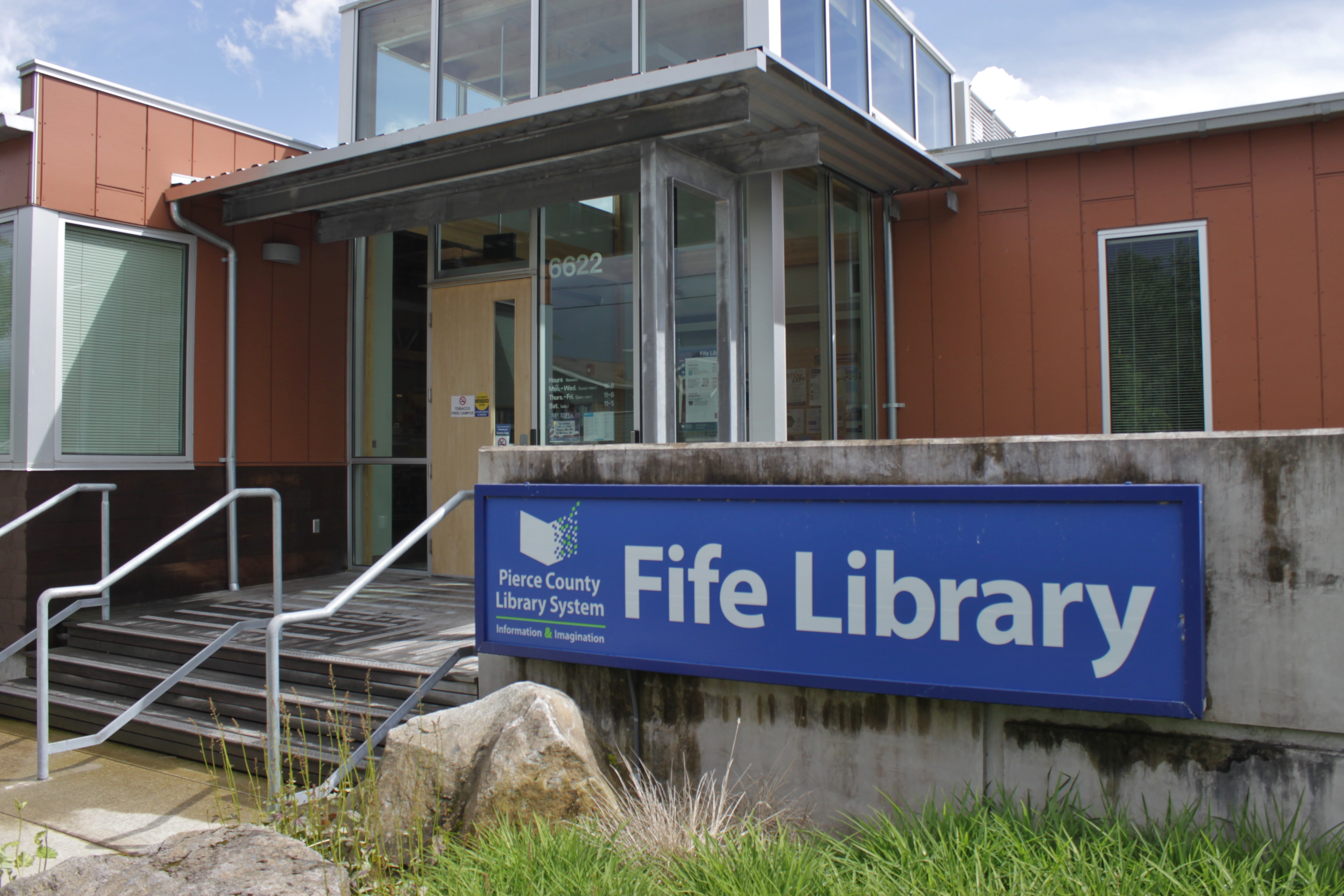
Fife is a city in Pierce County, Washington, United States and a suburb of Tacoma. The population was 10,999 at the 2020 census. Fife is contained within the Puyallup Indian Reservation. History The lower Puyallup basin is the ancestral home of the Puyallup people, who were relocated after the signing of the Medicine Creek Treaty in 1854. The treaty ceded Puyallup lands and created the Puyallup Indian Reservation, which was expanded to include modern-day Fife. The land on which the city sits was lost after the signing of the General Allotment Act in 1887 and other land transfers that were later resolved in a 1990 claims settlement. In 1940, Fife was described as "at a valley crossroads in the midst of a thickly settled berry growing and truck-gardening district is represented by a string of markets, taverns, shops, and a large, balloon-roofed dance hall along the highway." The 1940 population was 135. Fife was officially incorporated on February 11, 1957. Due to the increas ... [...More Info...] [...Related Items...] OR: [Wikipedia] [Google] [Baidu] |
Kent, Washington
Kent is a city in King County, Washington, United States. It is part of the Seattle–Tacoma–Bellevue metropolitan area and had a population of 136,588 as of the 2020 census, making it the fourth-largest municipality in greater Seattle and the sixth-largest in Washington state. The city is connected to Seattle, Bellevue and Tacoma via State Route 167 and Interstate 5, Sounder commuter rail, and commuter buses. Incorporated in 1890, Kent is the second-oldest incorporated city in King County, after Seattle. It is generally divided into three areas: West Hill (mixed residential and commercial along Interstate 5), Valley (primarily industrial and commercial with some medium-density residential; significant parkland along Green River), and East Hill (primarily residential with retail). History The Kent area was first permanently settled by European Americans in the 1850s along the banks of what was then the White River. The first settler was Samuel Russell, who sailed the Whi ... [...More Info...] [...Related Items...] OR: [Wikipedia] [Google] [Baidu] |
Auburn, Washington
Auburn is a city in King County, Washington, United States (with a small portion crossing into neighboring Pierce County). The population was 87,256 at the 2020 Census. Auburn is a suburb in the Seattle metropolitan area, and is currently ranked as the 14th largest city in the state of Washington. Auburn is bordered by the cities of Federal Way, Pacific, and Algona to the west, Sumner to the south, Kent to the north, and unincorporated King County to the east. The Muckleshoot Indian Reservation lies to the south and southeast. History Before the first non-indigenous settlers arrived in the Green River Valley in the 1850s, the area was home to the Muckleshoot people, who were temporarily driven out by Puget Sound War, Indian wars later that decade. Several settler families arrived in the 1860s, including Levi Ballard, who set up a Homestead Acts, homestead between the Green and White rivers. Ballard filed for a plat to establish a town in February 1886, naming it Slaught ... [...More Info...] [...Related Items...] OR: [Wikipedia] [Google] [Baidu] |
Maury Island
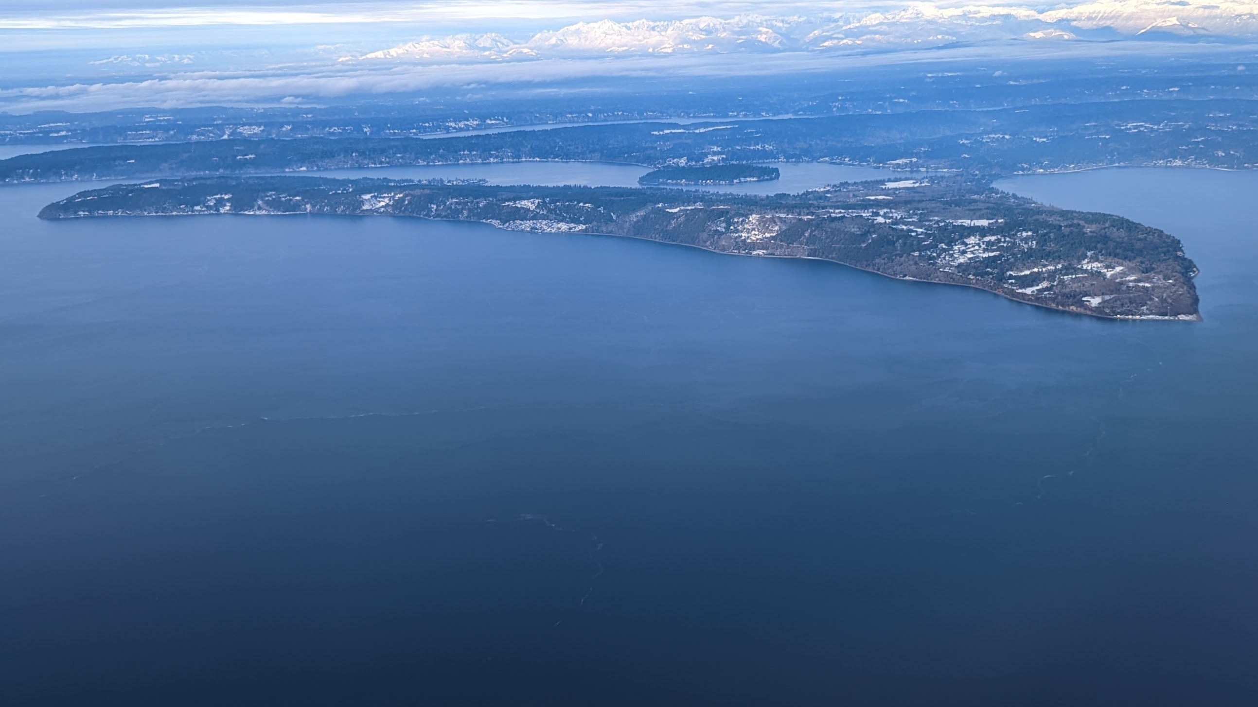
Maury Island is a tied island in Puget Sound in the U.S. state of Washington. It is connected to Vashon Island by an isthmus built by local homeowners in 1913. Before construction of the isthmus, the island was connected to Vashon only during low tide. The island is rural with large areas of farmland, forest, and relatively undeveloped shoreline. Currently, environmental issues on the island are under considerable scrutiny. Maury Island was named in 1841 during the Wilkes Expedition in honor of William Lewis Maury, who between 1863 and 1864 raided Union ships on behalf of the Confederacy and is buried in Caroline County, Virginia. It was the site of the Maury Island incident, a case of an alleged encounter with a UFO. Point Robinson Light is located on Point Robinson, the easternmost point on Maury Island. Dockton was once the site of a dry dock as well as a salmon cannery. Maury and Vashon Islands are home to the ''Vashon-Maury Island Community Council''. In the 1940s, Vash ... [...More Info...] [...Related Items...] OR: [Wikipedia] [Google] [Baidu] |
Olympic Mountains
The Olympic Mountains are a mountain range on the Olympic Peninsula of the Pacific Northwest of the United States. The mountains, part of the Pacific Coast Ranges, are not especially high – Mount Olympus is the highest at ; however, the eastern slopes rise out of Puget Sound from sea level and the western slopes are separated from the Pacific Ocean by the low-lying wide Pacific Ocean coastal plain. The western slopes are the wettest place in the 48 contiguous states. Most of the mountains are protected within the bounds of Olympic National Park and adjoining segments of the Olympic National Forest. The mountains are located in western Washington in the United States, spread out across four counties: Clallam, Grays Harbor, Jefferson and Mason. Physiographically, they are a section of the larger Pacific Border province, which is in turn a part of the larger Pacific Mountain System. Geography The Olympics have the form of a cluster of steep-sided peaks surrounded by heavily ... [...More Info...] [...Related Items...] OR: [Wikipedia] [Google] [Baidu] |
North American Craton
North is one of the four compass points or cardinal directions. It is the opposite of south and is perpendicular to east and west. ''North'' is a noun, adjective, or adverb indicating direction or geography. Etymology The word ''north'' is related to the Old High German ''nord'', both descending from the Proto-Indo-European unit *''ner-'', meaning "left; below" as north is to left when facing the rising sun. Similarly, the other cardinal directions are also related to the sun's position. The Latin word ''borealis'' comes from the Greek '' boreas'' "north wind, north", which, according to Ovid, was personified as the wind-god Boreas, the father of Calais and Zetes. ''Septentrionalis'' is from ''septentriones'', "the seven plow oxen", a name of ''Ursa Major''. The Greek ἀρκτικός (''arktikós'') is named for the same constellation, and is the source of the English word ''Arctic''. Other languages have other derivations. For example, in Lezgian, ''kefer'' can mean ... [...More Info...] [...Related Items...] OR: [Wikipedia] [Google] [Baidu] |
Tacoma, Washington
Tacoma ( ) is the county seat of Pierce County, Washington, United States. A port city, it is situated along Washington's Puget Sound, southwest of Seattle, northeast of the state capital, Olympia, Washington, Olympia, and northwest of Mount Rainier National Park. The city's population was 219,346 at the time of the 2020 United States census, 2020 census. Tacoma is the second-largest city in the Puget Sound area and the List of municipalities in Washington, third-largest in the state. Tacoma also serves as the center of business activity for the South Sound region, which has a population of about 1 million. Tacoma adopted its name after the nearby Mount Rainier, called wikt:Tacoma, təˡqʷuʔbəʔ in the Lushootseed, Puget Sound Salish dialect. It is locally known as the "City of Destiny" because the area was chosen to be the western terminus of the Northern Pacific Railroad in the late 19th century. The decision of the railroad was influenced by Tacoma's neighboring deep-wat ... [...More Info...] [...Related Items...] OR: [Wikipedia] [Google] [Baidu] |
Tectonic Plates
Plate tectonics (from the la, label=Late Latin, tectonicus, from the grc, τεκτονικός, lit=pertaining to building) is the generally accepted scientific theory that considers the Earth's lithosphere to comprise a number of large tectonic plates which have been slowly moving since about 3.4 billion years ago. The model builds on the concept of ''continental drift'', an idea developed during the first decades of the 20th century. Plate tectonics came to be generally accepted by geoscientists after seafloor spreading was validated in the mid to late 1960s. Earth's lithosphere, which is the rigid outermost shell of the planet (the crust and upper mantle), is broken into seven or eight major plates (depending on how they are defined) and many minor plates or "platelets". Where the plates meet, their relative motion determines the type of plate boundary: '' convergent'', '' divergent'', or ''transform''. Earthquakes, volcanic activity, mountain-building, and oceanic tren ... [...More Info...] [...Related Items...] OR: [Wikipedia] [Google] [Baidu] |


