|
Sydney Harbour Defences
Sydney Harbour was protected by coastal batteries and other fixed defences from the early 19th century until the 1960s. These defences were constructed to protect the Australian city of Sydney from attack by enemy warships and submarines. Pre-Federation defences Sydney's earliest fortifications were built around Sydney Cove to protect the new colony of Sydney from attacks from non-British ships or convict uprisings. In 1791 the Dawes Point Battery was meant to be the first line of defence against an attack by the Spanish Empire, while Fort Macquarie was an upgraded from an early fort built in the same time to a larger one in 1798. A gun emplacement was built in 1801 on Middle Head (north of Obelisk Bay) during the Napoleonic wars, as well as another one at Georges Head. Fort Phillip was also built to protect from a potential French invasion in 1804, as well as following the Castle Hill convict rebellion the same year. More permanent fortifications were built during the first ... [...More Info...] [...Related Items...] OR: [Wikipedia] [Google] [Baidu] |
British Empire
The British Empire was composed of the dominions, colonies, protectorates, mandates, and other territories ruled or administered by the United Kingdom and its predecessor states. It began with the overseas possessions and trading posts established by England between the late 16th and early 18th centuries. At its height it was the largest empire in history and, for over a century, was the foremost global power. By 1913, the British Empire held sway over 412 million people, of the world population at the time, and by 1920, it covered , of the Earth's total land area. As a result, its constitutional, legal, linguistic, and cultural legacy is widespread. At the peak of its power, it was described as " the empire on which the sun never sets", as the Sun was always shining on at least one of its territories. During the Age of Discovery in the 15th and 16th centuries, Portugal and Spain pioneered European exploration of the globe, and in the process established larg ... [...More Info...] [...Related Items...] OR: [Wikipedia] [Google] [Baidu] |
Botany Bay
Botany Bay (Dharawal: ''Kamay''), an open oceanic embayment, is located in Sydney, New South Wales, Australia, south of the Sydney central business district. Its source is the confluence of the Georges River at Taren Point and the Cooks River at Kyeemagh, which flows to the east before meeting its mouth at the Tasman Sea, midpoint between the suburbs of La Perouse and Kurnell. The northern headland of the entrance to the bay from the Tasman Sea is Cape Banks and, on the southern side, the outer headland is Cape Solander and the inner headland is Sutherland Point. The total catchment area of the bay is approximately . Despite its relative shallowness, the bay now serves as greater metropolitan Sydney's main cargo seaport, located at Port Botany, with facilities managed by Sydney Ports Corporation. Two runways of Sydney Airport extend into the bay, as do some port facilities. Botany Bay National Park is located on the northern and southern headlands of the bay. ... [...More Info...] [...Related Items...] OR: [Wikipedia] [Google] [Baidu] |
Bare Island (New South Wales)
Bare Island is a heritage-listed islet located in south-eastern Sydney, in La Perouse in the City of Randwick local government area in the state of New South Wales, in eastern Australia. The islet is located about south east of the Sydney central business district, within Botany Bay, close to the bay's northern headland. Containing former fortification facilities, Bare Island was a former war veterans' home and museum and is now a historic site that was added to the New South Wales State Heritage Register on 2 April 1999 and is significant as an almost completely intact example of late nineteenth century coastal defence technology. It was designed by Sir Peter Scratchley, Gustave Morell and James Barnet and built from 1881 to 1889 by John McLeod on behalf of the NSW Department of Public Works. Bare Island is connected by a footbridge to the mainland of La Perouse. The heritage-listed military fort and tunnels can only be visited by guided tour. The waters around the is ... [...More Info...] [...Related Items...] OR: [Wikipedia] [Google] [Baidu] |
Clifton Gardens, New South Wales
Clifton Gardens is an urban locality in the suburb of Mosman in Sydney, New South Wales, Australia. Clifton Gardens is located in the local government area of the Municipality of Mosman and is part of the Lower North Shore. Clifton Gardens is adjacent Chowder Bay. Clifton Gardens features an affluent residential area and is home to several beaches and wharves on Sydney Harbour. Clifton Gardens is also a popular fishing spot in summer. Species like the yellowtail kingfish, bonito and Australian salmon are caught frequently during summer months. In winter trevally can be caught quite regularly. History Early settler Captain E. H. Cliffe purchased a estate on the waters edge, he named it "Cliffeton" and it is believed that the area's name was derived from that. A hotel called the Clifton Arms was built in 1871 by D. Butters. It was leased in 1879 then bought in 1880 by David Thompson who built the Marine Hotel that operated from 1885 to 1967. Thompson also built a wharf and dan ... [...More Info...] [...Related Items...] OR: [Wikipedia] [Google] [Baidu] |
Beehive Casemate Obelisk Bay
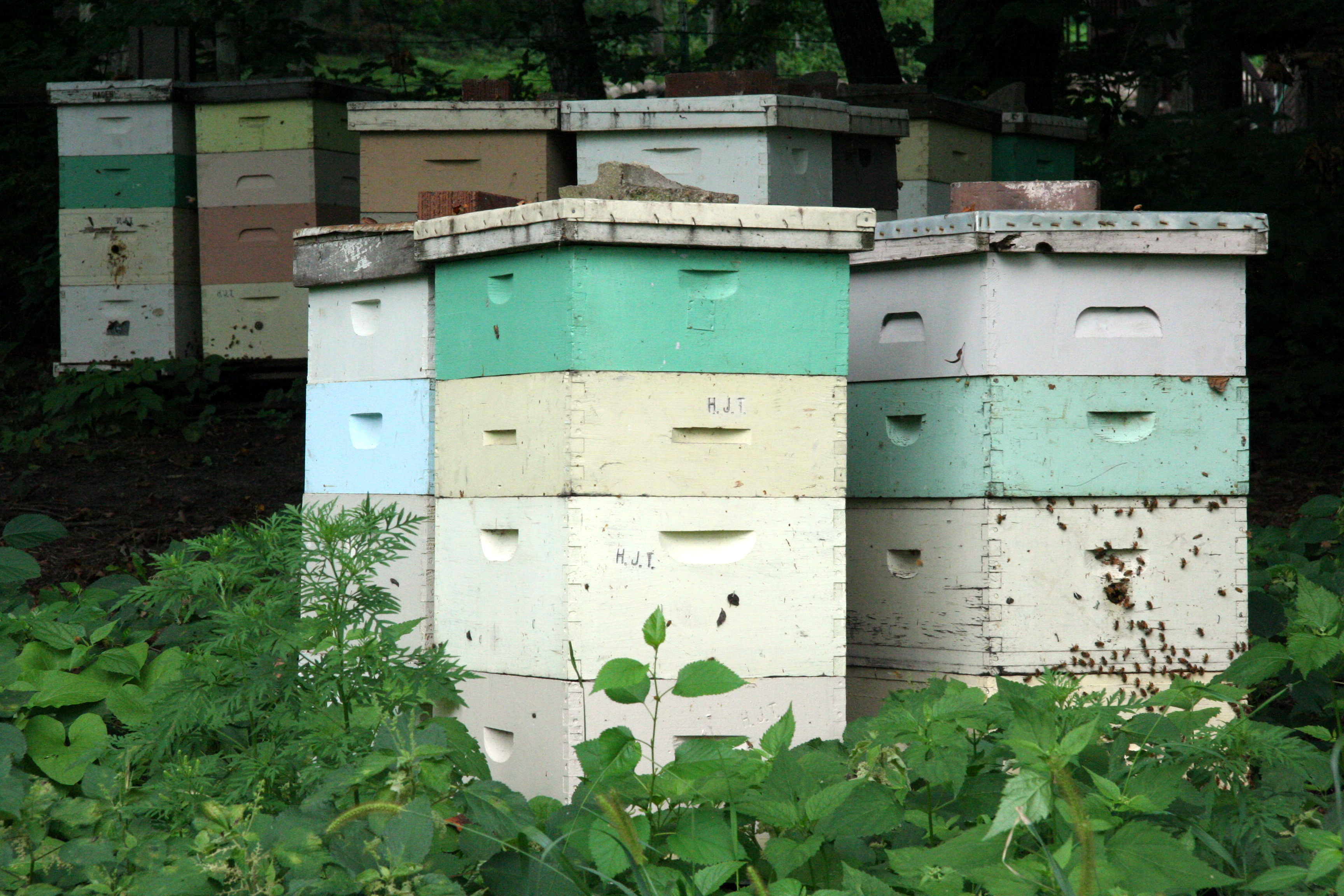
A beehive is an enclosed structure in which some honey bee species of the subgenus '' Apis'' live and raise their young. Though the word ''beehive'' is commonly used to describe the nest of any bee colony, scientific and professional literature distinguishes ''nest'' from ''hive''. ''Nest'' is used to discuss colonies that house themselves in natural or artificial cavities or are hanging and exposed. ''Hive'' is used to describe an artificial/man-made structure to house a honey bee nest. Several species of ''Apis'' live in colonies, but for honey production the western honey bee (''Apis mellifera'') and the eastern honey bee (''Apis cerana'') are the main species kept in hives. The nest's internal structure is a densely packed group of hexagonal prismatic cells made of beeswax, called a honeycomb. The bees use the cells to store food (honey and pollen) and to house the brood (eggs, larvae, and pupae). Beehives serve several purposes: production of honey, pollination of near ... [...More Info...] [...Related Items...] OR: [Wikipedia] [Google] [Baidu] |
Middle Head Fortifications
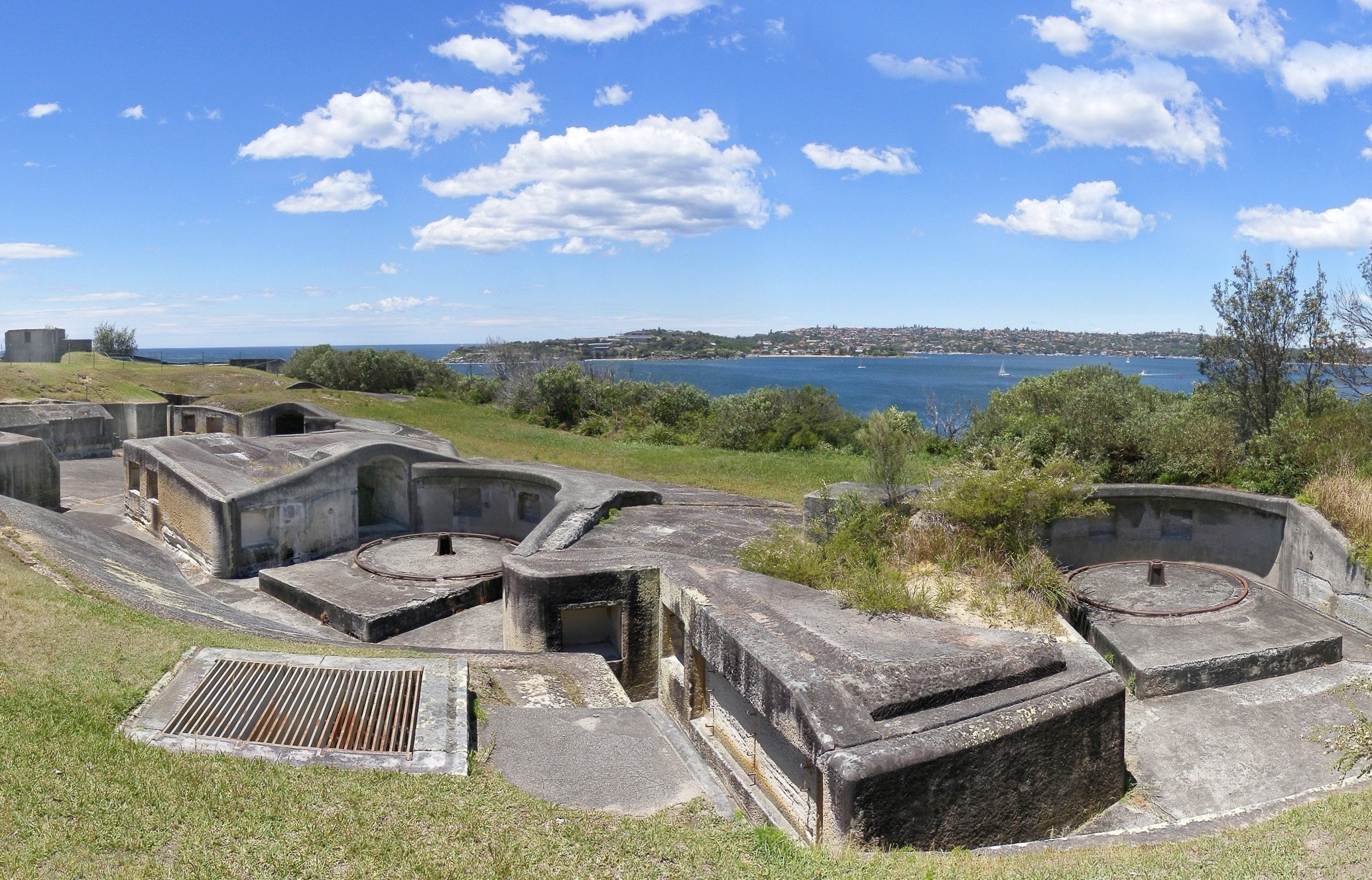
The Middle Head Fortifications is a heritage-listed former defence establishment and military fortifications and now public space located at Middle Head Road, Middle Head, in the Mosman Council local government area of New South Wales, Australia. It is also known as the Middle Head Military Fortifications or The Old Fort. The fortifications consist of the Outer Middle Head Battery located at the end of Old Fort Road, the Inner Middle Head Battery located at the end of Governors Road, and the Obelisk batteries reached by a path from the corner of Middle Head Road and Chowder Bay Road. The fortifications at Middle Head formed part of Sydney Harbour's defences. The property is owned by the NSW Office of Environment and Heritage. It was added to the New South Wales State Heritage Register on 2 April 1999. History The first fort at Middle Head was built in 1801 and the last batteries were constructed in 1942. The majority of the fortifications were built between 1870 and 1911. T ... [...More Info...] [...Related Items...] OR: [Wikipedia] [Google] [Baidu] |
Georges Heights, New South Wales
Georges Heights is an urban locality in the suburb of Mosman, adjoining Sydney, in the state of New South Wales, Australia. Georges Heights is located in the local government area of the Municipality of Mosman and is part of the Lower North Shore. History Georges Heights was named after King George III, who reigned from 1760 to 1820, which was during the time that the First Fleet left Portsmouth, England in 1788 and arrived in what is now Sydney Harbour Port Jackson, consisting of the waters of Sydney Harbour, Middle Harbour, North Harbour and the Lane Cove River, Lane Cove and Parramatta River, Parramatta Rivers, is the ria or harbor, natural harbour of Sydney, New South Wales, Australia. T ....''The Book of Sydney Suburbs'', Compiled by Frances Pollen, Angus & Robertson Publishers, 1990, Published in Australia , page 108 The Georges Head Battery located in Georges Heights was constructed in 1871. A naval depot stands on the eastern side of Chowder Bay. Heritage list ... [...More Info...] [...Related Items...] OR: [Wikipedia] [Google] [Baidu] |
Cardwell Reforms
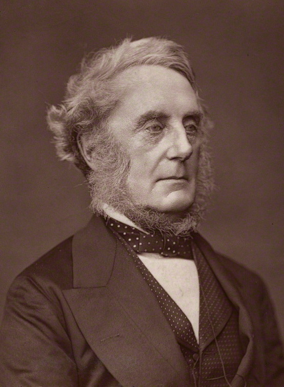
The Cardwell Reforms were a series of reforms of the British Army undertaken by Secretary of State for War Edward Cardwell between 1868 and 1874 with the support of Liberal prime minister William Ewart Gladstone. Gladstone paid little attention to military affairs but he was keen on efficiency. In 1870, he pushed through Parliament major changes in Army organisation. Germany's stunning triumph over France in the Franco-Prussian War proved that the Prussian system of professional soldiers with up-to-date weapons was far superior to the traditional system of gentlemen-soldiers that Britain used. The Reforms were not radical; they had been brewing for years and Gladstone seized the moment to enact them. The goal was to centralise the power of the War Office, abolish the purchase of officers' commissions, and create reserve forces stationed in Britain by establishing short terms of service for enlisted men. Ending the purchase system was controversial. The families of officers ha ... [...More Info...] [...Related Items...] OR: [Wikipedia] [Google] [Baidu] |
Fort Denison
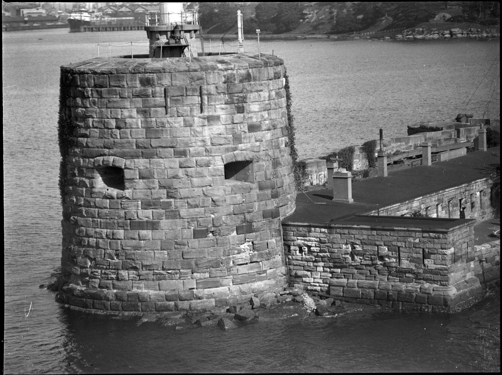
Fort Denison, part of the Sydney Harbour National Park, is a protected national park that is a heritage-listed former penal site and defensive facility occupying a small island located north-east of the Royal Botanic Garden and approximately east of the Opera House in Sydney Harbour, New South Wales, Australia. The island is also known as Mattewanye or Muddawahnyuh in the Eora language, and as Pinchgut Island. The site contains time gun, navigational aids and tide gauge facilities. Correctional and military facilities were designed by George Barney and built from 1840 to 1862 by William Randle. The property is owned by the Office of Environment & Heritage, an agency of the Government of New South Wales. It was added to the New South Wales State Heritage Register on 2 April 1999. In 1978 the former fortress was listed on the (now defunct) Register of the National Estate, and is currently used as a national park, nature reserve, tourist facility, and as a function ... [...More Info...] [...Related Items...] OR: [Wikipedia] [Google] [Baidu] |
Bradleys Head Fortification Complex
The Bradleys Head Fortification Complex is a heritage-listed former mast and defensive battery and military fortification and now war memorial and recreational area located at Bradleys Head Road within the Sydney Harbour National Park in in the Mosman Council local government area of New South Wales, Australia. It was designed by Government engineers and built from 1840 to 1934. It is also known as Bradleys Head Forts and HMAS Sydney 1 Mast and Associated Memorials. The property is owned by the NSW Office of Environment and Heritage, an agency of the Government of New South Wales. It was added to the New South Wales State Heritage Register on 30 August 2010. The small fort is located on the northern side of Sydney Harbour, just south of Taronga Park Zoo, and the fortification formed part of a total defence system for Sydney Harbour and recalls a period when the colony of New South Wales became increasingly aware of its isolation and wealth. History Development of the fort ... [...More Info...] [...Related Items...] OR: [Wikipedia] [Google] [Baidu] |
Garden Island Naval Precinct
The Garden Island Naval Precinct is a heritage-listed naval base and defence precinct located at Cowper Wharf Roadway in the inner eastern Sydney neighbourhood of Garden Island in the City of Sydney local government area of New South Wales, Australia. The precinct was built from 1856. It includes the HMAS Kuttabul naval base, formerly known as HMAS Penguin. The property is owned by Australian Department of Defence. It was added to the Commonwealth Heritage List on 22 June 2004 and the New South Wales State Heritage Register on 12 November 2004. History The Garden Island Naval Precinct, incorporates Fleet Base East, including the Garden Island Dockyard and adjacent facility Sydney Maritime Headquarters (MHQ) at Potts Point. The precinct is the main naval base in Australia and has the largest repair and refitting dockyard in Australia. Originally established as a British naval Depot, the island developed slowly from the early colonial days, with the greatest spurt occurring ... [...More Info...] [...Related Items...] OR: [Wikipedia] [Google] [Baidu] |


.jpg)


