|
St Jidgey
St Jidgey is a hamlet in mid Cornwall, England, United Kingdom. It lies along the A39 road, north of St Columb Major and southwest of Wadebridge. It contains the Halfway House Inn, a coaching inn The coaching inn (also coaching house or staging inn) was a vital part of Europe's inland transport infrastructure until the development of the railway, providing a resting point ( layover) for people and horses. The inn served the needs of tra .... The name is recorded as Sentysy in 1517; it is derived from St Ydi (in English St Issey). Weatherhill, Craig (2009). ''A Concise Dictionary of Cornish Place-Names''. Westport, Co. Mayo: Evertype. ; p. 63 References * Hamlets in Cornwall {{Cornwall-geo-stub ... [...More Info...] [...Related Items...] OR: [Wikipedia] [Google] [Baidu] |
Cornwall Council
Cornwall Council ( kw, Konsel Kernow) is the unitary authority for Cornwall in the United Kingdom, not including the Isles of Scilly, which has its own unitary council. The council, and its predecessor Cornwall County Council, has a tradition of large groups of independent councillors, having been controlled by independents in the 1970s and 1980s. Since the 2021 elections, it has been under the control of the Conservative Party. Cornwall Council provides a wide range of services to the approximately half a million people who live in Cornwall. In 2014 it had an annual budget of more than £1 billion and was the biggest employer in Cornwall with a staff of 12,429 salaried workers. It is responsible for services including: schools, social services, rubbish collection, roads, planning and more. History Establishment of the unitary authority On 5 December 2007, the Government confirmed that Cornwall was one of five councils that would move to unitary status. This was enacted by st ... [...More Info...] [...Related Items...] OR: [Wikipedia] [Google] [Baidu] |
Cornwall
Cornwall (; kw, Kernow ) is a historic county and ceremonial county in South West England. It is recognised as one of the Celtic nations, and is the homeland of the Cornish people. Cornwall is bordered to the north and west by the Atlantic Ocean, to the south by the English Channel, and to the east by the county of Devon, with the River Tamar forming the border between them. Cornwall forms the westernmost part of the South West Peninsula of the island of Great Britain. The southwesternmost point is Land's End and the southernmost Lizard Point. Cornwall has a population of and an area of . The county has been administered since 2009 by the unitary authority, Cornwall Council. The ceremonial county of Cornwall also includes the Isles of Scilly, which are administered separately. The administrative centre of Cornwall is Truro, its only city. Cornwall was formerly a Brythonic kingdom and subsequently a royal duchy. It is the cultural and ethnic origin of the Cornish dias ... [...More Info...] [...Related Items...] OR: [Wikipedia] [Google] [Baidu] |
Conservative Party (UK)
The Conservative Party, officially the Conservative and Unionist Party and also known colloquially as the Tories, is one of the Two-party system, two main political parties in the United Kingdom, along with the Labour Party (UK), Labour Party. It is the current Government of the United Kingdom, governing party, having won the 2019 United Kingdom general election, 2019 general election. It has been the primary governing party in Britain since 2010. The party is on the Centre-right politics, centre-right of the political spectrum, and encompasses various ideological #Party factions, factions including One-nation conservatism, one-nation conservatives, Thatcherism, Thatcherites, and traditionalist conservatism, traditionalist conservatives. The party currently has 356 Member of Parliament (United Kingdom), Members of Parliament, 264 members of the House of Lords, 9 members of the London Assembly, 31 members of the Scottish Parliament, 16 members of the Senedd, Welsh Parliament, 2 D ... [...More Info...] [...Related Items...] OR: [Wikipedia] [Google] [Baidu] |
St Issey And St Tudy (electoral Division)
St Issey and St Tudy ( Cornish: ) was an electoral division of Cornwall in the United Kingdom which returned one member to sit on Cornwall Council between 2013 and 2021. It was abolished at the 2021 local elections, being succeeded by Padstow, Wadebridge West and St Mabyn and St Teath and Tintagel. Councillors Extent St Issey and St Tudy represented the villages of Little Petherick, St Issey, St Mabyn, St Tudy and St Breock, as well as the hamlets of Engollan, St Eval, Rumford, Highlanes, Trevance, Tredinnick, St Jidgey, Trevorrick, Tregonce, Edmonton, Burlawn, Washaway, Longstone and St Ervan. Parts of Porthcothan (shared with Padstow division) and Ruthernbridge Ruthernbridge ( kw, Ponsrudhyn) is a village in the parish of Withiel in Cornwall, England, UK. History The village is centred around an early 15th-century bridge with two pointed arches which carries the road over the River Ruthern. The old we ... (shared with Lanivet and Blisland) were also cover ... [...More Info...] [...Related Items...] OR: [Wikipedia] [Google] [Baidu] |
A39 Road
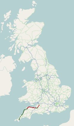
The A39 is an A road in south west England. It runs south-west from Bath in Somerset through Wells, Glastonbury, Street and Bridgwater. It then follows the north coast of Somerset, Devon and Cornwall through Williton, Minehead, Porlock, Lynmouth, Barnstaple, Bideford, Stratton, Camelford, Wadebridge and St Columb Major. It then joins the route of the A30 road for around , re-emerging near Zelah to head for the south Cornish coast via Truro and Falmouth. In Cornwall and North Devon (until the junction with the A361 "North Devon Link Road"), the road is known as the Atlantic Highway, and was classified as a trunk road until 2002. Porlock Hill Porlock Hill is a section of the A39 west of the village of Porlock. The road climbs approximately in less than up onto Exmoor: a very steep hill with gradients of up to 1 in 4 and hairpin bends. In Porlock itself you will often smell burning brakes from vehicles who have just descended the hill. On 12 January 1899, the ten- ... [...More Info...] [...Related Items...] OR: [Wikipedia] [Google] [Baidu] |
St Columb Major
St Columb Major is a town and civil parish in Cornwall, England, United Kingdom. Often referred to locally as ''St Columb'', it is approximately southwest of Wadebridge and east of Newquay Ordnance Survey: Landranger map sheet 200 ''Newquay & Bodmin'' The designation ''Major'' distinguishes it from the nearby settlement and parish of St Columb Minor on the coast. An electoral ward simply named ''St Columb'' exists with a population at the 2011 census of 5,050. The town is named after the 6th-century AD Saint Columba of Cornwall, also known as Columb. Twice a year the town plays host to "hurling", a medieval game once common throughout Cornwall but now only played in St Columb and St Ives.It is also played irregularly and less frequently at Bodmin, but nowhere else. It is played on Shrove Tuesday and again on the Saturday eleven days later. The game involves two teams of unlimited numbers (the 'townsmen' and the 'countrymen' of St Columb parish) who endeavour to carry a sil ... [...More Info...] [...Related Items...] OR: [Wikipedia] [Google] [Baidu] |
Wadebridge
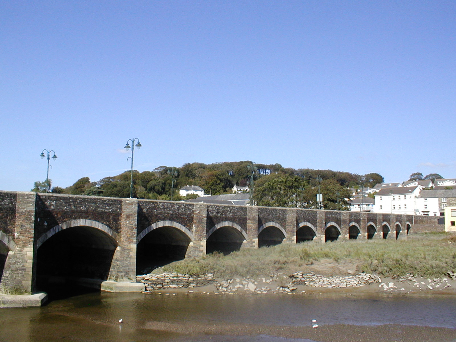
Wadebridge (; kw, Ponswad) is a town and civil parish in north Cornwall, England, United Kingdom. The town straddles the River Camel upstream from Padstow.Ordnance Survey: Landranger map sheet 200 ''Newquay & Bodmin'' The permanent population was 6,222 in the census of 2001, increasing to 7,900 in the 2011 census. There are two electoral wards in the town (East and West). Their total population is 8,272. Originally known as ''Wade'', it was a dangerous fording point across the river until a bridge was built here in the 15th century, after which the name changed to its present form. The bridge was strategically important during the English Civil War, and Oliver Cromwell went there to take it. Since then, it has been widened twice and refurbished in 1991. Wadebridge was served by a railway station between 1834 and 1967; part of the line now forms the Camel Trail, a recreational route for walkers, cyclists and horse riders. The town used to be a road traffic bottleneck on the ... [...More Info...] [...Related Items...] OR: [Wikipedia] [Google] [Baidu] |
Halfway House Inn
Halfway or Half Way may refer to: Places Canada *Halfway, New Brunswick, a community in Durham Parish * Halfway, Ontario, a community in Madawaska Valley Ireland *Halfway, County Cork, a village in the Republic of Ireland United Kingdom *Halfway, Berkshire, England *Halfway, Sheffield, England * Halfway, Wiltshire, a hamlet in Upton Scudamore, England *Halfway, Glasgow, Scotland *Halfway, South Lanarkshire, Scotland * Halfway, Carmarthenshire, Wales, a village in the United Kingdom United States *Halfway, Kentucky *Halfway, Illinois, a former community in Williamson County, Illinois * Halfway, Illinois (Little Juarez), a former community in Williamson County, Illinois *Halfway, Maryland * Halfway, Michigan, former name of Eastpointe, Michigan *Halfway, Missouri *Halfway (RIRTR station), a former railway station in Rochester, New York * Halfway, Oregon *Halfway, Virginia *Halfway, Wyoming Film and television * ''Halfway'' (2016 film), an American drama film by Ben Caird * Halfwa ... [...More Info...] [...Related Items...] OR: [Wikipedia] [Google] [Baidu] |
Coaching Inn
The coaching inn (also coaching house or staging inn) was a vital part of Europe's inland transport infrastructure until the development of the railway, providing a resting point ( layover) for people and horses. The inn served the needs of travellers, for food, drink, and rest. The attached stables, staffed by hostlers, cared for the horses, including changing a tired team for a fresh one. Coaching inns were used by private travellers in their coaches, the public riding stagecoaches between one town and another, and (in England at least) the mail coach. Just as with roadhouses in other countries, although many survive, and some still offer overnight accommodation, in general coaching inns have lost their original function and now operate as ordinary pubs. Coaching inns stabled teams of horses for stagecoaches and mail coaches and replaced tired teams with fresh teams. In America, stage stations performed these functions. Traditionally English coaching inns were seven miles a ... [...More Info...] [...Related Items...] OR: [Wikipedia] [Google] [Baidu] |
Weatherhill, Craig
Craig Weatherhill (1950 or 1951 – 18 or 19 July 2020) was a Cornish antiquarian, novelist and writer on the history, archaeology, place names and mythology of Cornwall. Weatherhill attended school in Falmouth, where his parents ran a sports shop. He played football for a number of local clubs, including Mawnan, and played as goalkeeper for the county football team. Between 1972 and 1974, Weatherhill served with the RAF, training as a cartographer. He was discharged after a serious back injury. He worked as a planning officer, architectural designer and historic conservation expert in local government and private practice. Under the tutelage of historian P.A.S. Pool he conducted archaeological surveys of West Cornwall. Weatherhill was also a Conservation Officer at Penwith District Council. He contributed to the BBC's Radyo Kernow, in particular to the series ''The Tinners' Way'' and ''Beachcombers''. In 1981 Weatherhill was made a Bard of Gorsedh Kernow for services to Corn ... [...More Info...] [...Related Items...] OR: [Wikipedia] [Google] [Baidu] |


