|
Sooke Flowline
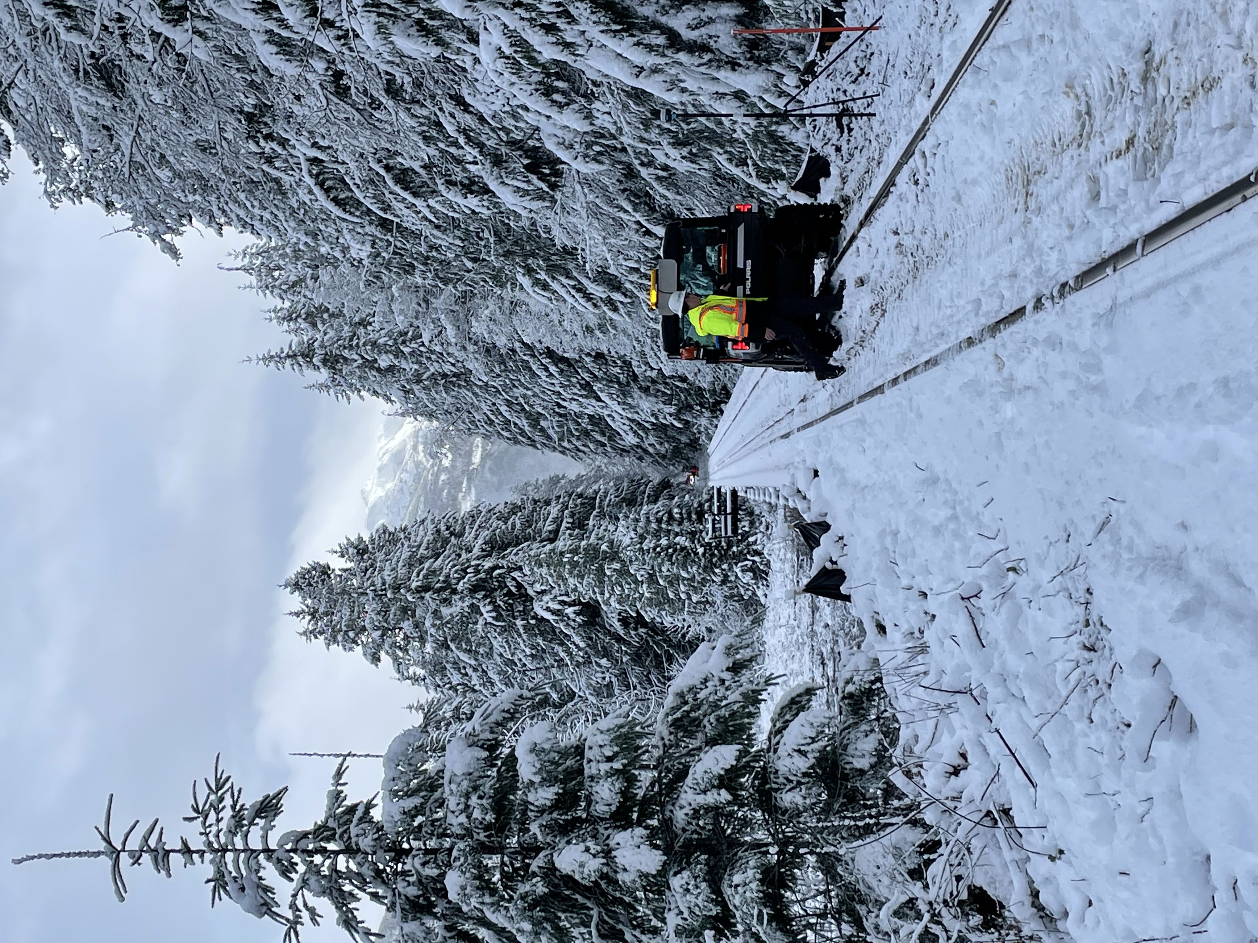
The Sooke Flowline is an abandoned concrete aqueduct that snakes through the Sooke Hills from Sooke Lake to the Humpback Reservoir near Mt. Wells Regional Park. From this reservoir, a buried, riveted steel pressure main transported water to Victoria. Between 1994–2007, this main was replaced since it was long past its useful life. The flowline was vital to the continued growth of the City of Victoria as it provided a reliable water supply. While the flowline remains, Victoria's water supply is now carried via Kapoor tunnel. Leigh Hodgetts, CRD Waterworks superintendent, reported that the westernmost section of the flowline is still used to carry Sooke's water supply, via a 16 inch interconnecting pipe feeding the Sooke distribution system from Charters Creek to Sooke River Road. Elk Lake used to be the water supply for Victoria and when the Colquitz River was dammed, it merely flooded the swamp and merged Elk and Beaver Lakes. Unfortunately the intake was at the swamp ... [...More Info...] [...Related Items...] OR: [Wikipedia] [Google] [Baidu] |
Southern Railway Of Vancouver Island
The Island Rail Corridor, previously the Esquimalt & Nanaimo Railway (E&N Railway), is a railway operation on Vancouver Island and is the only remaining railway on Vancouver Island after the closure of the Englewood Railway in November 2017. The Island Corridor Foundation owns the former Esquimalt & Nanaimo Railway corridor. The railway line is in length from Victoria to Courtenay, known as the Victoria Subdivision, with a branch line from Parksville to Port Alberni known as the Port Alberni Subdivision at in length, for a total of mainline track. In 2006, the Island Corridor Foundation acquired the railway's ownership from the Canadian Pacific Railway. Both freight service and the crown corporation VIA Rail passenger service have been suspended due to deferred maintenance on the rail line. History Vancouver Island joining Canada The history of an island railway and a functioning island railway in perpetuity, started with the colony of Vancouver Island joining British C ... [...More Info...] [...Related Items...] OR: [Wikipedia] [Google] [Baidu] |
View Royal, British Columbia
View Royal is a town in Greater Victoria and a member municipality of the Capital Regional District of British Columbia, Canada. View Royal has a population of 10,858 residents. With over of parkland, View Royal includes Thetis, McKenzie, Pike and Prior Lakes and portions of Esquimalt Harbour and Portage Inlet. History View Royal's history is closely linked to the entire region. The Esquimalt First Nation, a Coast Salish indigenous people, have occupied View Royal since time immemorial. It began when early inhabitants of today's Esquimalt Harbour crossed an isthmus, now Portage Park, to harvest seafood in Portage Inlet. European settlement began in the 1850s by Kenneth Mackenzie who established a farm known as Craigflower Manor. In the mid-19th century, Dr. John Helmcken, Vancouver Island's first doctor and later speaker of the British Columbia Legislative Assembly, paid the Hudson's Bay Company $5 per acre for hundreds of acres of land between Esquimalt Harbour and what is ... [...More Info...] [...Related Items...] OR: [Wikipedia] [Google] [Baidu] |
Brentwood Bay, British Columbia
Brentwood Bay is a small village in the municipality of Central Saanich, on the Saanich Peninsula in British Columbia, Canada. It lies north of the city of Victoria, east of the community of Willis Point, and south of the town of Sidney. Situated on the Saanich Inlet and the Tod Inlet, it includes the Butchart Gardens, the Victoria Butterfly Gardens and the Brentwood Bay Lodge & Spa. Brentwood Bay also includes a BC Ferries dock which connects to Mill Bay. The region also plays host to various wineries and restaurants, and also features hiking and a variety of wildlife iGowlland Tod Provincial Park Brentwood Bay is part of the Central Saanich Municipality (pop. 15,34(2001), one of 13 that make up the Greater Victoria area (pop. 344,61. It is located on British Columbia Highway 17A, Highway 17A just west of Highway 17 (known locally as the "Pat Bay Highway"), the main route running the length of the Saanich Peninsula. It is also served frequently by the Brentwood-Mill Bay ... [...More Info...] [...Related Items...] OR: [Wikipedia] [Google] [Baidu] |
Butchart Gardens
The Butchart Gardens is a group of floral display gardens in Brentwood Bay, British Columbia, Canada, located near Victoria on Vancouver Island. The gardens receive over a million visitors each year. The gardens have been designated a National Historic Site of Canada. History Robert Pim Butchart (1856–1943) began manufacturing Portland cement in 1888 near his birthplace of Owen Sound, Ontario, Canada. He and his wife Jennie Butchart (1866–1950) came to the west coast of Canada because of rich limestone deposits necessary for cement production. In 1904, they established their home near his quarry on Tod Inlet at the base of the Saanich Peninsula on Vancouver Island. In 1907 Isaburo Kishida, a sixty-five-year-old garden designer from Yokohama, Japan, came to Victoria at the request of his son to build a tea garden for Esquimalt Gorge Park. This garden was wildly popular. Several prominent citizens, Jennie Butchart among them, commissioned Kishida to ... [...More Info...] [...Related Items...] OR: [Wikipedia] [Google] [Baidu] |
Pressure Measurement
Pressure measurement is the measurement of an applied force by a fluid (liquid or gas) on a surface. Pressure is typically measured in units of force per unit of surface area. Many techniques have been developed for the measurement of pressure and vacuum. Instruments used to measure and display pressure mechanically are called pressure gauges, vacuum gauges or compound gauges (vacuum & pressure). The widely used Bourdon gauge is a mechanical device, which both measures and indicates and is probably the best known type of gauge. A vacuum gauge is used to measure pressures lower than the ambient atmospheric pressure, which is set as the zero point, in negative values (for instance, −1 bar or −760 mmHg equals total vacuum). Most gauges measure pressure relative to atmospheric pressure as the zero point, so this form of reading is simply referred to as "gauge pressure". However, anything greater than total vacuum is technically a form of pressure. For very low press ... [...More Info...] [...Related Items...] OR: [Wikipedia] [Google] [Baidu] |
Ravine
A ravine is a landform that is narrower than a canyon and is often the product of streambank erosion.Definition of "ravine" at Ravines are typically classified as larger in scale than gullies, although smaller than s. Ravines may also be called a cleuch, dell, ghout ( Nevis), gill or ghyll, |
Iron
Iron () is a chemical element with Symbol (chemistry), symbol Fe (from la, Wikt:ferrum, ferrum) and atomic number 26. It is a metal that belongs to the first transition series and group 8 element, group 8 of the periodic table. It is, Abundance of the chemical elements#Earth, by mass, the most common element on Earth, right in front of oxygen (32.1% and 30.1%, respectively), forming much of Earth's outer core, outer and inner core. It is the fourth most common abundance of elements in Earth's crust, element in the Earth's crust. In its metallic state, iron is rare in the Earth's crust, limited mainly to deposition by meteorites. Iron ores, by contrast, are among the most abundant in the Earth's crust, although extracting usable metal from them requires kilns or Metallurgical furnace, furnaces capable of reaching or higher, about higher than that required to smelting, smelt copper. Humans started to master that process in Eurasia during the 2nd millennium BC, 2nd millennium BC ... [...More Info...] [...Related Items...] OR: [Wikipedia] [Google] [Baidu] |
Creosote
Creosote is a category of carbonaceous chemicals formed by the distillation of various tars and pyrolysis of plant-derived material, such as wood or fossil fuel. They are typically used as preservatives or antiseptics. Some creosote types were used historically as a treatment for components of seagoing and outdoor wood structures to prevent rot (e.g., bridgework and railroad ties, see image). Samples may be found commonly inside chimney flues, where the coal or wood burns under variable conditions, producing soot and tarry smoke. Creosotes are the principal chemicals responsible for the stability, scent, and flavor characteristic of smoked meat; the name is derived . The two main kinds recognized in industry are coal-tar creosote and wood-tar creosote. The coal-tar variety, having stronger and more toxic properties, has chiefly been used as a preservative for wood; coal-tar creosote was also formerly used as an escharotic, to burn malignant skin tissue, and in dentistry, to ... [...More Info...] [...Related Items...] OR: [Wikipedia] [Google] [Baidu] |
Woodstave
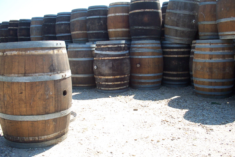
] A stave is a narrow length of wood with a slightly bevelled edge to form the sides of barrels, tanks, tubs, vats and pipelines, originally handmade by coopers. They have been used in the construction of large holding tanks and penstocks at hydro power developments. They are also used in the construction of certain musical instruments with rounded bodies or backs. See also * Rubicon Hydroelectric Scheme, which has wood stave penstocks on operating power stations *Lake Margaret Power Station The Lake Margaret Power Stations comprise two hydroelectric power stations located in Western Tasmania, Australia. The power stations are part of the King Yolande Power Scheme and are owned and operated by Hydro Tasmania. Officially the Upper L ..., which had a wood stave penstock replaced in 2010 References Structural engineering Woodworking {{civil-engineering-stub ... [...More Info...] [...Related Items...] OR: [Wikipedia] [Google] [Baidu] |


