|
Snyder (BSL Station)
Snyder station is a rapid transit passenger rail station on SEPTA's Broad Street Line in South Philadelphia, Pennsylvania. It is located at 2100 South Broad Street ( PA 611) in the Lower Moyamensing neighborhood and is named for Snyder Avenue. Originally built in 1938, Snyder station was the southern terminus of the Broad Street Line until 1973, when it was extended to Pattison Station (now named NRG station). A connection exists to the never-built Passyunk Avenue Spur. South Philadelphia High School South Philadelphia High School is a public secondary high school located in the Lower Moyamensing neighborhood of South Philadelphia, at the intersection of Broad Street and Snyder Avenue. The school serves grades 9 through 12 and is part of th ... and the Methodist Hospital are located near the station. Station layout There are four street entrances to the station, one at each corner of the intersection between Broad Street and Snyder Avenue. The southwest entrance has a cov ... [...More Info...] [...Related Items...] OR: [Wikipedia] [Google] [Baidu] |
Broad Street (Philadelphia)
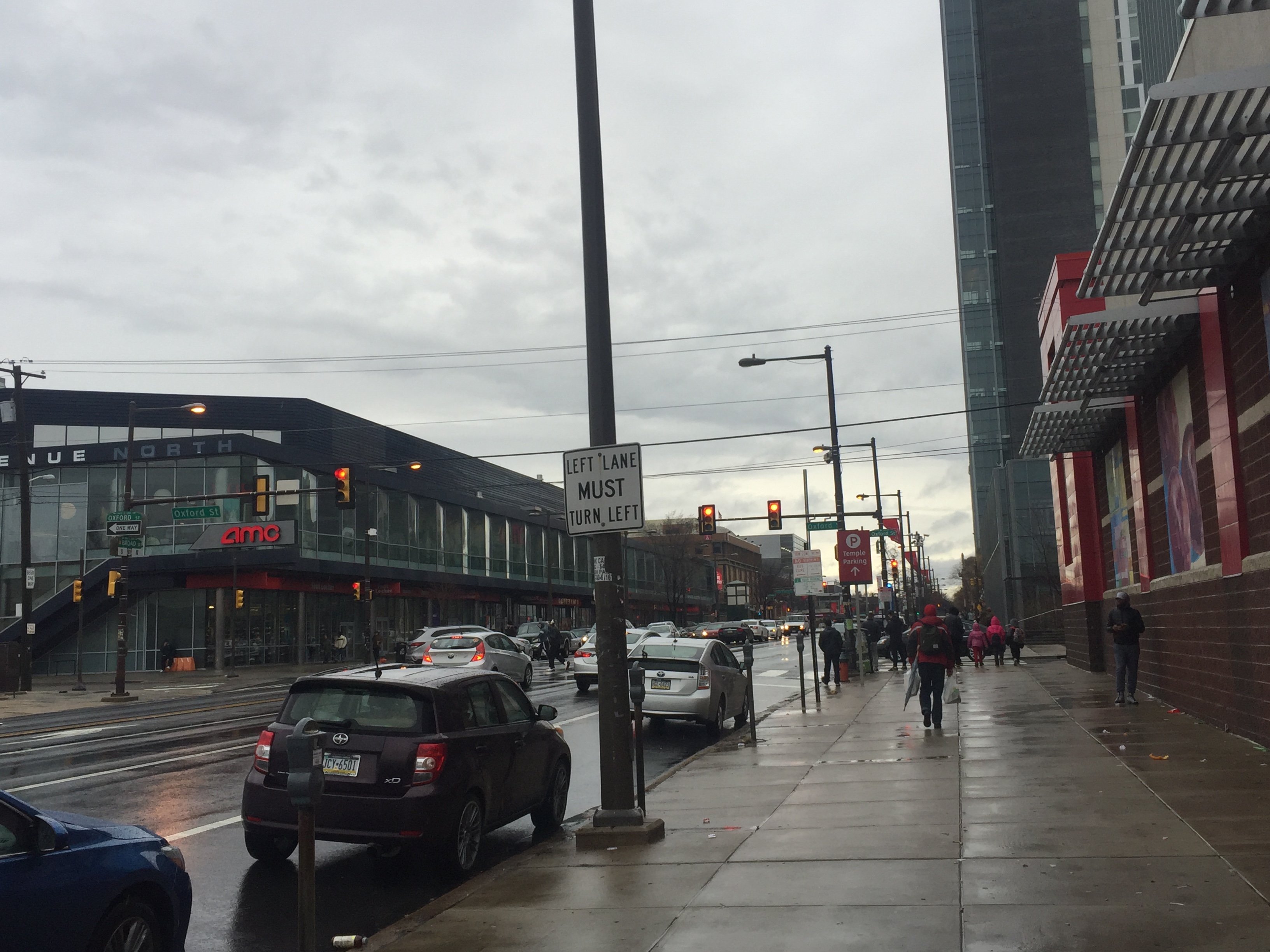
upright=1.2, The Northern terminus of Broad Street on the border of Philadelphia and Cheltenham Township Broad Street is a major arterial street in Philadelphia, Pennsylvania. The street runs for approximately , beginning at the intersection of Cheltenham Avenue on the border of Cheltenham Township and the West/ East Oak Lane neighborhoods of North Philadelphia to the Philadelphia Navy Yard in South Philadelphia. It is Pennsylvania Route 611 along its entire length with the exception of its northernmost part between Old York Road and Pennsylvania Route 309 (Cheltenham Avenue) and the southernmost part south of Interstate 95. Broad Street runs along a north–south axis between 13th Street and 15th Street, containing what would otherwise be known as 14th Street in the Philadelphia grid plan. It is interrupted by Philadelphia City Hall, which stands where Broad and Market Street would intersect in the center of the city. The streets of Penn Square, Juniper Street, Joh ... [...More Info...] [...Related Items...] OR: [Wikipedia] [Google] [Baidu] |
Pennsylvania Route 611
Pennsylvania Route 611 (PA 611) is a state highway in eastern Pennsylvania running from Interstate 95 (I-95) in the southern part of the city of Philadelphia north to I-380 in Coolbaugh Township in the Pocono Mountains. Within Philadelphia, PA 611 follows Broad Street, the main north-south street in Philadelphia, through most of the city. The route continues north through the northern suburbs of Philadelphia and serves Jenkintown, Willow Grove, and Doylestown, the latter of which it bypasses on a freeway. North of Doylestown, PA 611 heads through rural areas and runs along the west bank of the Delaware River to the city of Easton in the Lehigh Valley. The route continues back into rural land and passes through the Delaware Water Gap, at which point it enters the Pocono Mountains region. Here, PA 611 heads northwest through Stroudsburg and Mount Pocono toward its northern terminus. The current alignment of PA 611 is composed of several turnpikes that were built in the 19th ... [...More Info...] [...Related Items...] OR: [Wikipedia] [Google] [Baidu] |
Railway Stations In Philadelphia
Rail transport (also known as train transport) is a means of transport that transfers passengers and goods on wheeled vehicles running on rails, which are incorporated in tracks. In contrast to road transport, where the vehicles run on a prepared flat surface, rail vehicles (rolling stock) are directionally guided by the tracks on which they run. Tracks usually consist of steel rails, installed on sleepers (ties) set in ballast, on which the rolling stock, usually fitted with metal wheels, moves. Other variations are also possible, such as "slab track", in which the rails are fastened to a concrete foundation resting on a prepared subsurface. Rolling stock in a rail transport system generally encounters lower frictional resistance than rubber-tyred road vehicles, so passenger and freight cars (carriages and wagons) can be coupled into longer trains. The operation is carried out by a railway company, providing transport between train stations or freight customer facilit ... [...More Info...] [...Related Items...] OR: [Wikipedia] [Google] [Baidu] |
Railway Stations In The United States Opened In 1938
Rail transport (also known as train transport) is a means of transport that transfers passengers and goods on wheeled vehicles running on rails, which are incorporated in tracks. In contrast to road transport, where the vehicles run on a prepared flat surface, rail vehicles (rolling stock) are directionally guided by the tracks on which they run. Tracks usually consist of steel rails, installed on sleepers (ties) set in ballast, on which the rolling stock, usually fitted with metal wheels, moves. Other variations are also possible, such as "slab track", in which the rails are fastened to a concrete foundation resting on a prepared subsurface. Rolling stock in a rail transport system generally encounters lower frictional resistance than rubber-tyred road vehicles, so passenger and freight cars (carriages and wagons) can be coupled into longer trains. The operation is carried out by a railway company, providing transport between train stations or freight customer faciliti ... [...More Info...] [...Related Items...] OR: [Wikipedia] [Google] [Baidu] |


