|
Snow Peak (Antarctica)
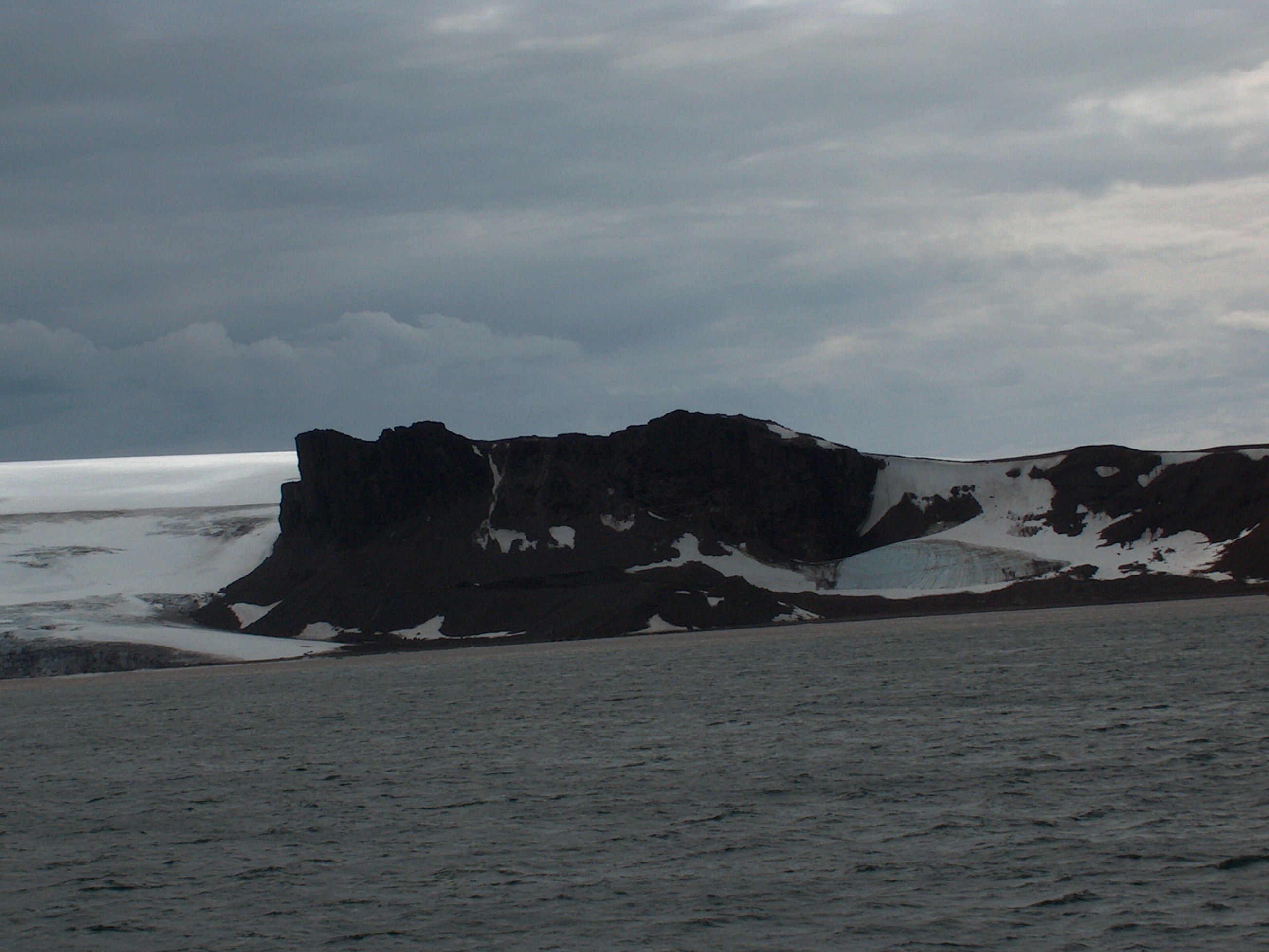
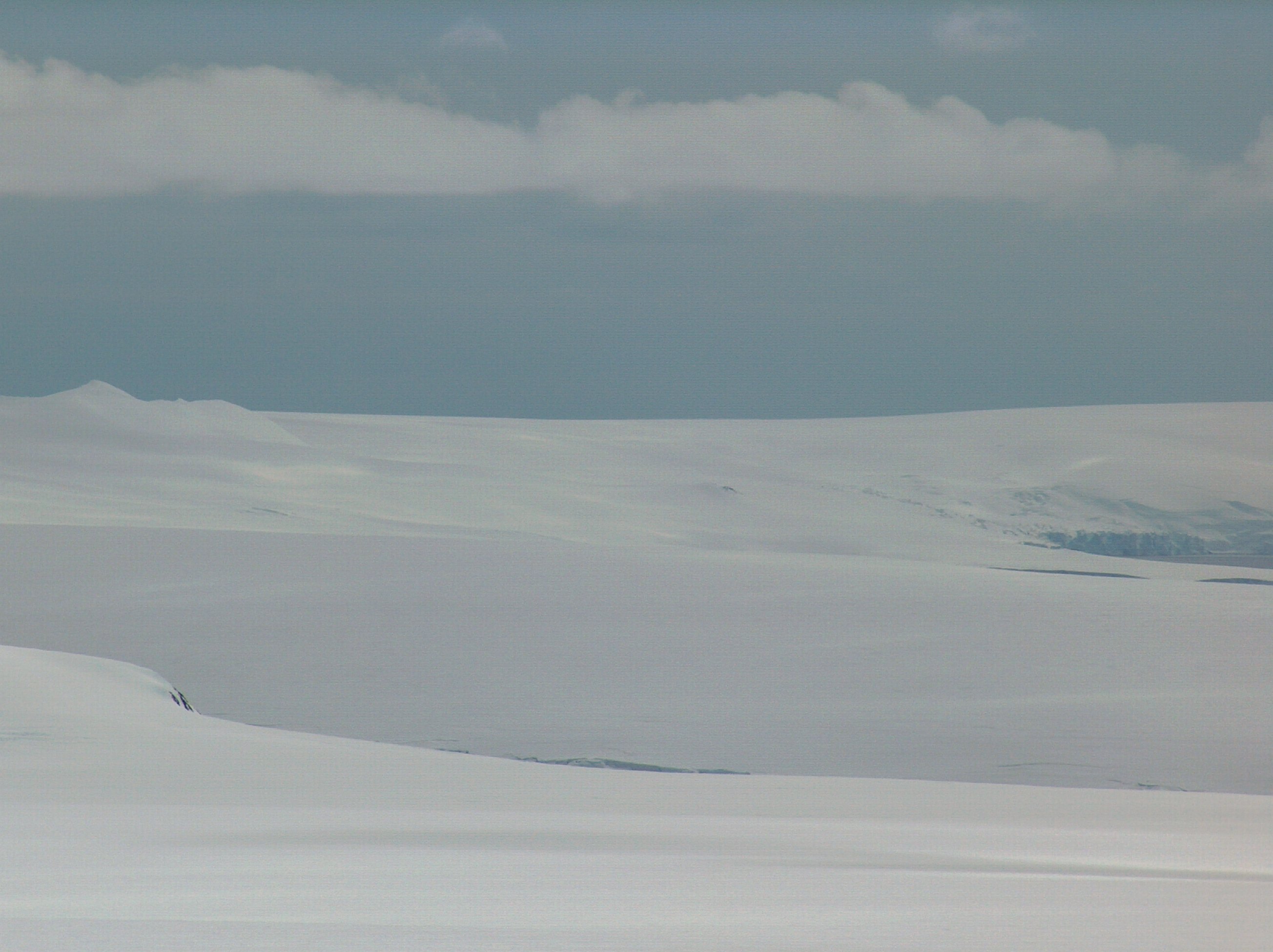
Snow Peak is a snow-covered peak rising to 428 m in western Livingston Island in the South Shetland Islands, Antarctica. It is linked by a saddle to Casanovas Peak in the west, and surmounts Berkovitsa Glacier to the northwest, Fletcher Nunatak and Belev Nunatak to the northeast, Tundzha Glacier to the east and Verila Glacier to the southwest. The feature was charted and named descriptively by Discovery Investigations personnel in 1935. Location The peak is located at which is 12.89 km northeast of Rotch Dome, 2.83 km east of Casanovas Peak, 2.92 km southwest of Avitohol Point and 7.04 km north-northwest of Ustra Peak Ustra Peak ( bg, връх Устра, vrah Ustra, ) is a rocky peak of 195 m on the coast of Walker Bay, Livingston Island in the South Shetland Islands, Antarctica. The peak was named after the medieval Bulgarian fortress of Ustra in the Easte ... (British mapping in 1935 and 1968, and Bulgarian in 2005 and 2009). Maps * L.L. Ivanov ... [...More Info...] [...Related Items...] OR: [Wikipedia] [Google] [Baidu] |
Belev Nunatak
Belev Nunatak ( bg, Белев нунатак, Belev nunatak, ) is the hill rising to 58 mReference Elevation Model of Antarctica. Polar Geospatial Center. University of Minnesota, 2019 on the small peninsula ending in on the north coast of in the , |
Ustra Peak
Ustra Peak ( bg, връх Устра, vrah Ustra, ) is a rocky peak of 195 m on the coast of Walker Bay, Livingston Island in the South Shetland Islands, Antarctica. The peak was named after the medieval Bulgarian fortress of Ustra in the Eastern Rhodope Mountains. Location The peak is located at , which is next southeast of Verila Glacier, 2.1 km west of Krakra Bluff and 1.71 km north-northeast of Hannah Point. It was mapped by the British in 1968, and by the Bulgarians in 2005 and 2009. Maps * L.L. Ivanov et al. Antarctica: Livingston Island and Greenwich Island, South Shetland Islands. Scale 1:100000 topographic map. Sofia: Antarctic Place-names Commission of Bulgaria, 2005. * L.L. IvanovAntarctica: Livingston Island and Greenwich, Robert, Snow and Smith Islands Scale 1:120000 topographic map. Troyan: Manfred Wörner Foundation, 2009. References Ustra Peak.SCAR Composite Antarctic Gazetteer Bulgarian Antarctic Gazetteer.Antarctic Place-names Commission ... [...More Info...] [...Related Items...] OR: [Wikipedia] [Google] [Baidu] |
Avitohol Point
Avitohol Point ( bg, нос Авитохол, nos Avitohol, ) is a point on the north coast of Livingston Island, Antarctica projecting into Hero Bay to form the west side of the entrance to Skravena Cove and the southeast side of the entrance to Prisoe Cove. It is surmounted by Fletcher Nunatak and Belev Nunatak. The point is named after the legendary Khan Avitohol listed in the 8th Century '' Nominalia of the Bulgarian Khans'', who laid the foundations of the Bulgarian statehood in Europe in 165 AD. Location The point is located at which is northeast of Snow Peak, west-southwest of Siddins Point, south-southeast of Black Point and southeast of Cape Shirreff. Composite Antarctic Gazetteer The point was mapped by Bulgaria in 2005 and 2009 and is registered in the SCAR Composite Antarctic Gazettee ... [...More Info...] [...Related Items...] OR: [Wikipedia] [Google] [Baidu] |
Rotch Dome
Rotch Dome is the sloping ice dome rising to 360 m immediately east of Byers Peninsula, and between Barclay Bay and Walker Bay in Livingston Island, South Shetland Islands, Antarctica. It is bounded by Urvich Wall to the west, surmounting Ivanov Beach to the northwest, Etar Snowfield to the north-northeast and Verila Glacier to the east-northeast, and is linked by a saddle to Casanovas Peak to the northeast. The slopes of Rotch Dome west of 60º53'45"W were included in 2016 into the Antarctic Specially Protected Area Byers Peninsula (ASPA 126), with a designated zone comprising the northwestern part of Rotch Dome and the adjacent deglaciated ground on Ivanov Beach placed under greater restriction on access in order to prevent microbial or other contamination by human activity. Location The highest point is located at which is 10.4 km southwest of Casanovas Peak, 6.75 km north by west of Elephant Point, 6.1 km east of Tsamblak Hill, 5.37 km east-southeast ... [...More Info...] [...Related Items...] OR: [Wikipedia] [Google] [Baidu] |
Discovery Investigations
The Discovery Investigations were a series of scientific cruises and shore-based investigations into the biology of whales in the Southern Ocean. They were funded by the British Colonial Office and organised by the Discovery Committee in London, which was formed in 1918. They were intended to provide the scientific background to stock management of the commercial Antarctic whale fishery. The work of the Investigations contributed hugely to our knowledge of the whales, the krill they fed on, and the oceanography of their habitat, while charting the local topography, including Atherton Peak. The investigations continued until 1951, with the final report being published in 1980. Laboratory Shore-based work on South Georgia took place in the marine laboratory, Discovery House, built in 1925 at King Edward Point and occupied until 1931. The scientists lived and worked in the building, travelling half a mile or so across King Edward Cove to the whaling station at Grytviken to work on w ... [...More Info...] [...Related Items...] OR: [Wikipedia] [Google] [Baidu] |
Verila Glacier
Verila Glacier ( bg, ледник Верила, lednik Verila, ) on Livingston Island in the South Shetland Islands, Antarctica is situated southeast of southern Etar Snowfield, southwest of Berkovitsa and Tundzha Glaciers, and west of Kamchiya Glacier. It is bounded by Rotch Dome to the west, Casanovas Peak and Snow Peak to the north, and Ustra Peak to the southeast. The glacier is roughly crescent-shaped, extending in an east-west direction and in a north-south direction, and drains southwards into Walker Bay, Bransfield Strait between John Beach and Liverpool Beach at Hannah Point. The glacier's bedrock is connected to Kaliman Island in Walker Bay by a 600 m long moraine tombolo. The area was visited by 19th century British and American sealers. The feature is named after Verila Mountain in Western Bulgaria. Location The glacier's exact midpoint is located at (Bulgarian mapping in 2005, 2009 and 2017). See also * List of glaciers in the Antarctic * Glaciology ... [...More Info...] [...Related Items...] OR: [Wikipedia] [Google] [Baidu] |
Tundzha Glacier
Tundzha Glacier ( bg, ледник Тунджа, lednik Tundzha, ) is a glacier on Livingston Island in the South Shetland Islands, Antarctica situated east-southeast of Berkovitsa Glacier, west of Saedinenie Snowfield, northwest of Pimpirev Glacier, north of Kamchiya Glacier and east-northeast of Verila Glacier. It is bounded by Snow Peak to the west, Teres Ridge to the east and the glacial divide between the Drake Passage and Bransfield Strait to the south. The glacier extends in east-west direction and in the north-south direction, and drains northwards into Hero Bay between Avitohol Point and Siddins Point. The feature was named after the Tundzha River in Bulgaria. Location The midpoint of the glacier is located at (Bulgarian mapping in 2009). See also * List of glaciers in the Antarctic * Glaciology Maps * L.L. Ivanov et al. Antarctica: Livingston Island and Greenwich Island, South Shetland Islands. Scale 1:100000 topographic map. Sofia: Antarctic Place-names Co ... [...More Info...] [...Related Items...] OR: [Wikipedia] [Google] [Baidu] |
Fletcher Nunatak
Fletcher Nunatak ( bg, нунатак Флечър, nunatak Fletcher, ) is the hill rising to 150 mReference Elevation Model of Antarctica. Polar Geospatial Center. University of Minnesota, 2019 at the base of the small peninsula ending in on the north coast of in the , |
Berkovitsa
Berkovitsa ( bg, Берковица ) is a town and ski resort in northwestern Bulgaria. It is the administrative centre of the homonymous Berkovitsa Municipality, Montana Province and is close to the town of Varshets. , it has a population of 13,917 inhabitants.Bulgarian National Statistical Institute - Bulgarian towns in 2009 Location and history Berkovitsa is situated on the northern slope of Kom Peak of the Berkovska Stara Planina Mountain along the valley of the Berkovitsa River, which is a tributary to the Barziya River, at an altitude above sea level 405 m. The town was mentioned for the first time in Ottoman documents of 1488. It is near the site of an old fortified settlement on the road from Sofia to Lom. The remains of the fo ...[...More Info...] [...Related Items...] OR: [Wikipedia] [Google] [Baidu] |
Berkovitsa Glacier
Berkovitsa Glacier ( bg, ледник Берковица, lednik Berkovitsa, ) is a glacier on Livingston Island, Antarctica situated east of Etar Snowfield, south of Medven Glacier, west-northwest of Tundzha Glacier and north-northeast of Verila Glacier. It is bounded by the southeastern slopes of Oryahovo Heights and the northwestern slopes of Snow Peak. It extends 4 km in southeast-northwest direction and 2.8 km in northwest-southeast direction, and drains northeastwards into Hero Bay between Avitohol Point and Remetalk Point. The glacier is named after the town of Berkovitsa in the western Balkan Mountains, Bulgaria. Location The glacier is centred at . Bulgarian mapping in 2005 and 2009. See also * List of glaciers in the Antarctic * Glaciology Maps * L.L. Ivanov et al. Antarctica: Livingston Island and Greenwich Island, South Shetland Islands. Scale 1:100000 topographic map. Sofia: Antarctic Place-names Commission of Bulgaria, 2005. * L.L. IvanovAntarcti ... [...More Info...] [...Related Items...] OR: [Wikipedia] [Google] [Baidu] |
Casanovas Peak
Casanovas Peak ( bg, връх Касановас, vrah Kasanovas, ) is the ice dome rising to 325 m at the base of Ioannes Paulus II Peninsula on Livingston Island, South Shetland Islands. It is linked to Rotch Dome on the west by Berrister Gap and surmounts Etar Snowfield to the northwest, Berkovitsa Glacier to the northeast and Verila Glacier to the south. The feature is named for Àlex Simón i Casanovas, mountain guides’ team leader at Juan Carlos I Base in 2001–06, who surveyed the peak during the 2000-01 austral summer. Location The peak is located at which is 3 km west of Snow Peak and 9.3 km northeast of Rotch Dome (Bulgarian mapping in 2009). Maps * L.L. Ivanov et al. Antarctica: Livingston Island and Greenwich Island, South Shetland Islands. Scale 1:100000 topographic map. Sofia: Antarctic Place-names Commission of Bulgaria, 2005. * L.L. IvanovAntarctica: Livingston Island and Greenwich, Robert, Snow and Smith Islands Scale 1:120000 topographic map. ... [...More Info...] [...Related Items...] OR: [Wikipedia] [Google] [Baidu] |


.jpg)


