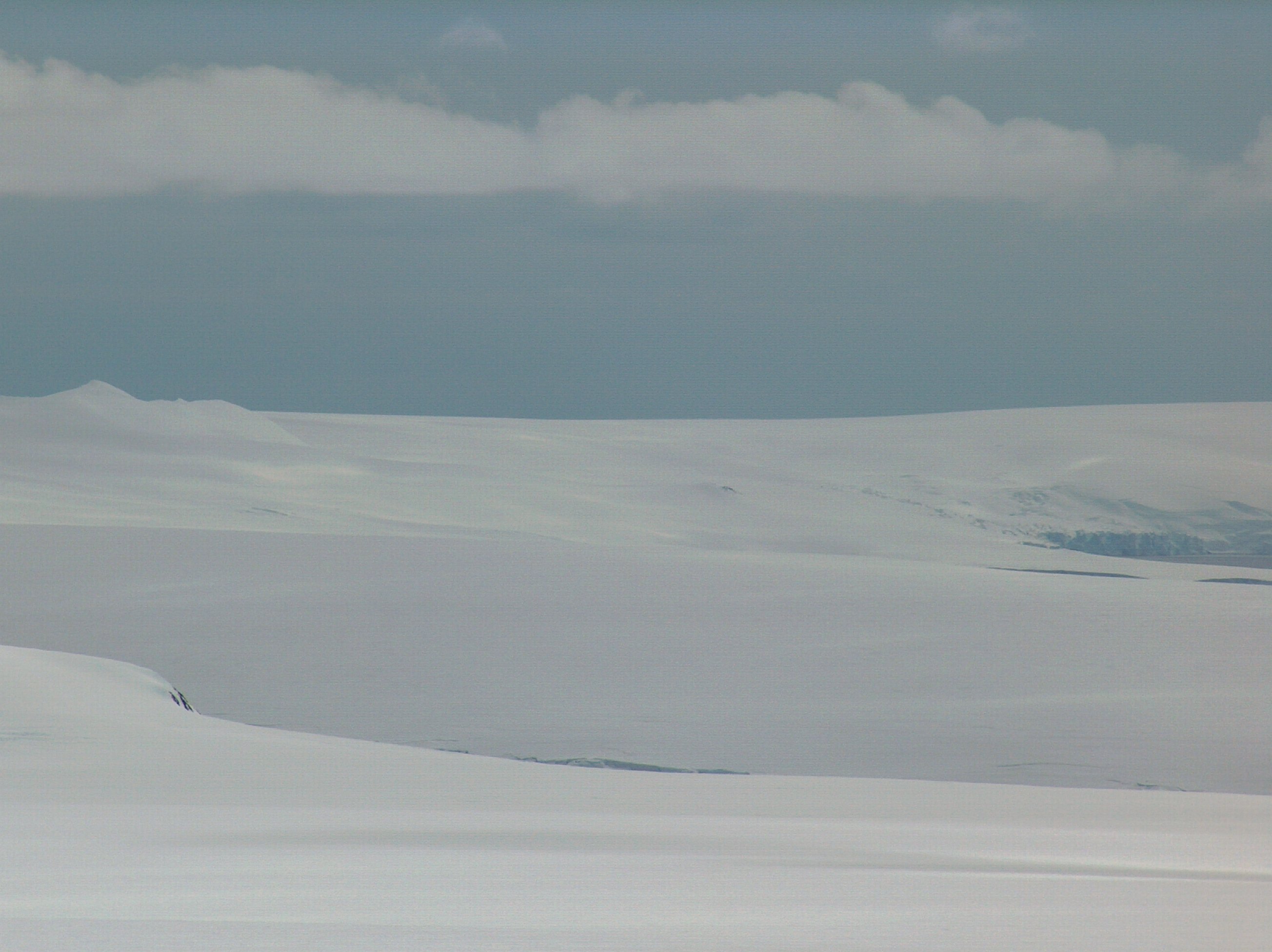
Snow Peak (Antarctica) on:
[Wikipedia]
[Google]
[Amazon]


 Snow Peak is a snow-covered peak rising to 428 m in western
Antarctica: Livingston Island and Greenwich, Robert, Snow and Smith Islands
Scale 1:120000 topographic map. Troyan: Manfred Wörner Foundation, 2009.
SCAR Composite Antarctic Gazetteer
Mountains of Livingston Island {{LivingstonIsland-geo-stub


 Snow Peak is a snow-covered peak rising to 428 m in western
 Livingston Island
Livingston Island (Russian name ''Smolensk'', ) is an Antarctic island in the Southern Ocean, part of the South Shetlands Archipelago, a group of Antarctic islands north of the Antarctic Peninsula. It was the first land discovered south of 60 ...
in the South Shetland Islands
The South Shetland Islands are a group of Antarctic islands with a total area of . They lie about north of the Antarctic Peninsula, and between southwest of the nearest point of the South Orkney Islands. By the Antarctic Treaty of 195 ...
, Antarctica
Antarctica () is Earth's southernmost and least-populated continent. Situated almost entirely south of the Antarctic Circle and surrounded by the Southern Ocean, it contains the geographic South Pole. Antarctica is the fifth-largest contine ...
. It is linked by a saddle to Casanovas Peak in the west, and surmounts Berkovitsa Glacier to the northwest, Fletcher Nunatak and Belev Nunatak to the northeast, Tundzha Glacier
Tundzha Glacier ( bg, ледник Тунджа, lednik Tundzha, ) is a glacier on Livingston Island in the South Shetland Islands, Antarctica situated east-southeast of Berkovitsa Glacier, west of Saedinenie Snowfield, northwest of Pimpirev ...
to the east and Verila Glacier
Verila Glacier ( bg, ледник Верила, lednik Verila, ) on Livingston Island in the South Shetland Islands, Antarctica is situated southeast of southern Etar Snowfield, southwest of Berkovitsa and Tundzha Glaciers, and west of Kamchi ...
to the southwest.
The feature was charted and named descriptively by Discovery Investigations
The Discovery Investigations were a series of scientific cruises and shore-based investigations into the biology of whales in the Southern Ocean. They were funded by the British Colonial Office and organised by the Discovery Committee in London, wh ...
personnel in 1935.
Location
The peak is located at which is 12.89 km northeast ofRotch Dome
Rotch Dome is the sloping ice dome rising to 360 m immediately east of Byers Peninsula, and between Barclay Bay and Walker Bay in Livingston Island, South Shetland Islands, Antarctica. It is bounded by Urvich Wall to the west, surmounting Ivanov ...
, 2.83 km east of Casanovas Peak, 2.92 km southwest of Avitohol Point
Avitohol Point ( bg, нос Авитохол, nos Avitohol, ) is a point on the north coast of Livingston Island, Antarctica projecting into Hero Bay to form the west side of the entrance to Skravena Cove and the southeast side of the entrance ...
and 7.04 km north-northwest of Ustra Peak
Ustra Peak ( bg, връх Устра, vrah Ustra, ) is a rocky peak of 195 m on the coast of Walker Bay, Livingston Island in the South Shetland Islands, Antarctica. The peak was named after the medieval Bulgarian fortress of Ustra in the Easte ...
(British mapping in 1935 and 1968, and Bulgarian in 2005 and 2009).
Maps
* L.L. Ivanov et al. Antarctica: Livingston Island and Greenwich Island, South Shetland Islands. Scale 1:100000 topographic map. Sofia: Antarctic Place-names Commission of Bulgaria, 2005. * L.L. IvanovAntarctica: Livingston Island and Greenwich, Robert, Snow and Smith Islands
Scale 1:120000 topographic map. Troyan: Manfred Wörner Foundation, 2009.
References
SCAR Composite Antarctic Gazetteer
Mountains of Livingston Island {{LivingstonIsland-geo-stub