|
Smithborough
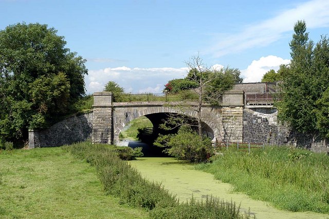
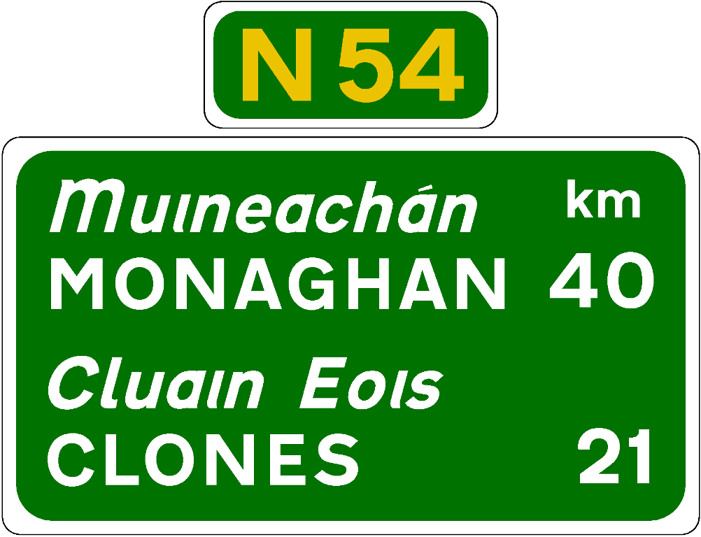
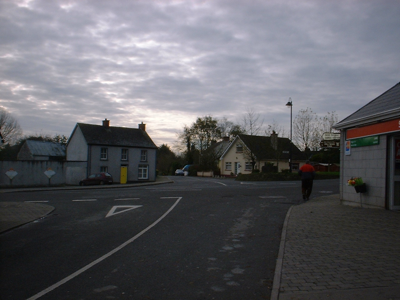
Smithborough or Smithboro () is a village in County Monaghan, Republic of Ireland, Ireland. It is within the townlands of Mullaghduff and Mullaghbrack. It is roughly midway between Monaghan Town and Clones, County Monaghan, Clones on the N54 road (Ireland), N54. Nearby villages within 6–7 km (3 or 4 miles away) are Threemilehouse, Scotstown, Ballinode, and Newbliss all within County Monaghan and Roslea in County Fermanagh. The local football team is Éire Óg, who wear blue with a gold band. Railways The Ulster Railway opened Smithborough railway station on 2 March 1863. In 1876 the Great Northern Railway (Ireland) was formed. The station and line was closed on 14 October 1957. See also * List of towns and villages in the Republic of Ireland, List of towns and villages in Ireland * Ulster Canal References Towns and villages in County Monaghan {{Monaghan-geo-stub ... [...More Info...] [...Related Items...] OR: [Wikipedia] [Google] [Baidu] |
Smithborough Railway Station
Smithborough railway station was on the Ulster Railway in the Republic of Ireland. The Ulster Railway opened the station on 2 March 1863. It closed on 14 October 1957. Routes References Disused railway stations in County Monaghan Railway stations opened in 1863 Railway stations closed in 1957 {{Ireland-railstation-stub ... [...More Info...] [...Related Items...] OR: [Wikipedia] [Google] [Baidu] |
Ulster Canal
The Ulster Canal is a canal running through part of County Armagh, County Tyrone and County Fermanagh in Northern Ireland and County Monaghan in the Republic of Ireland. The Ulster Canal was built between 1825 and 1842 and was 74 km (46 mi) long with 26 locks. It ran from Charlemont on the River Blackwater to near Wattlebridge on the Finn River, south-east of Upper Lough Erne. It was an ill-considered venture, with the locks built narrower than the other Irish waterways, preventing through trade, and an inadequate water supply. It was an abject failure commercially, and contributed to the collapse of the Lagan Navigation Company, who took it over from the government but were then refused permission to abandon it when they could not afford the maintenance costs. It finally closed in 1931. Waterways Ireland started work on rebuilding the canal at its southern end in 2015. History In 1778, a proposal was made for a canal from Ballyshannon to the Lower Lough Erne. The e ... [...More Info...] [...Related Items...] OR: [Wikipedia] [Google] [Baidu] |
Ulster Railway
The Ulster Railway was a railway company operating in Ulster, Ireland. The company was incorporated in 1836 and merged with two other railway companies in 1876 to form the Great Northern Railway (Ireland). History The Ulster Railway was authorised by an Act of the UK Parliament in 1836 and construction began in March 1837. The first of line, between and , were completed in August 1839 at a cost of £107,000. The line was extended in stages, opening to in 1841,Hajducki, 1974, map 9 in 1842,Hajducki, 1974, map 8 and in 1848. In 1836 a Railway Commission recommended that railways in Ireland be built to broad gauge. The Ulster Railway complied with this recommendation but the Dublin and Drogheda Railway (D&D) did not. In order for Dublin and Belfast to be linked without a break-of-gauge, in 1846 the UK Parliament passed an Act adopting a compromise gauge of for Ireland, to which the Ulster Railway's track was then re-laid. Extension of the Ulster Railway resumed, reachi ... [...More Info...] [...Related Items...] OR: [Wikipedia] [Google] [Baidu] |
List Of Towns And Villages In The Republic Of Ireland
This is a link page for cities, towns and villages in the Republic of Ireland, including townships or urban centres in Dublin, Cork, Limerick, Galway, Waterford and other major urban areas. Cities are shown in bold; see City status in Ireland for an independent list. __NOTOC__ A B C D E F G H I J K L M N O P Q R S T U V W Y See also *List of places in Ireland ** List of places in the Republic of Ireland **: List of cities, boroughs and towns in the Republic of Ireland, with municipal councils and legally defined boundaries. **: List of census towns in the Republic of Ireland as defined by the Central Statistics Office, sorted by county. Includes non-municipal towns and suburbs outside municipal boundaries. ** List of towns in the Republic of Ireland by population **: List of towns in the Republic of Ireland/2002 Census Records **: List of towns in the Republic of Ireland/2006 Censu ... [...More Info...] [...Related Items...] OR: [Wikipedia] [Google] [Baidu] |
Threemilehouse
Threemilehouse or Three Mile House () is a village in County Monaghan, Republic of Ireland. It is roughly midway between Monaghan and Newbliss on the R189. The nearest village is Smithborough. It lies mostly within the townlands of Cabragh, Drumguill and Kilnaclay in the parish of Kilmore & Drumsnat. Saint Mary's church and primary school on the hill overlook the village. Threemilehouse has one of the oldest graveyards in the country, Drumsnat, which dates to 600 AD. The Central Statistics Office's report for the 2006 census lists Cabragh as a settlement with a total population of 167. History There was once a monastery founded by St. Molua at nearby Drumsnat. Drumsnat (Drom Sneachta) means the ‘Ridge of Snow’ and, according to tradition, this hill was covered by a mid summer snowfall in answer to the saint’s prayers for a site for a church. The Church of Ireland cemetery also marks the last resting place of Emily and Mary Wilde, the half-sisters of Oscar Wilde, who d ... [...More Info...] [...Related Items...] OR: [Wikipedia] [Google] [Baidu] |
County Monaghan
County Monaghan ( ; ga, Contae Mhuineacháin) is a county in Ireland. It is in the province of Ulster and is part of Border strategic planning area of the Northern and Western Region. It is named after the town of Monaghan. Monaghan County Council is the local authority for the county. The population of the county was 61,386 according to the 2016 census. The county has existed since 1585 when the Mac Mathghamhna rulers of Airgíalla agreed to join the Kingdom of Ireland. Following the 20th-century Irish War of Independence and the signing of the Anglo-Irish Treaty, Monaghan was one of three Ulster counties to join the Irish Free State rather than Northern Ireland. Geography and subdivisions County Monaghan is the fifth smallest of the Republic's 26 counties by area, and the fourth smallest by population. It is the smallest of Ulster's nine counties in terms of population. Baronies * Cremorne ( ga, Críoch Mhúrn) * Dartree ( ga, Dartraighe) * Farney ( ga, Fearnaigh) * ... [...More Info...] [...Related Items...] OR: [Wikipedia] [Google] [Baidu] |
Townlands
A townland ( ga, baile fearainn; Ulster-Scots: ''toonlann'') is a small geographical division of land, historically and currently used in Ireland and in the Western Isles in Scotland, typically covering . The townland system is of Gaelic origin, pre-dating the Norman invasion, and most have names of Irish origin. However, some townland names and boundaries come from Norman manors, plantation divisions, or later creations of the Ordnance Survey.Connolly, S. J., ''The Oxford Companion to Irish History, page 577. Oxford University Press, 2002. ''Maxwell, Ian, ''How to Trace Your Irish Ancestors'', page 16. howtobooks, 2009. The total number of inhabited townlands in Ireland was 60,679 in 1911. The total number recognised by the Irish Place Names database as of 2014 was 61,098, including uninhabited townlands, mainly small islands. Background In Ireland a townland is generally the smallest administrative division of land, though a few large townlands are further divided into h ... [...More Info...] [...Related Items...] OR: [Wikipedia] [Google] [Baidu] |
Monaghan Town
Monaghan ( ; ) is the county town of County Monaghan, Ireland. It also provides the name of its civil parish and barony. The population of the town as of the 2016 census was 7,678. The town is on the N2 road from Dublin to Derry and Letterkenny. Etymology The Irish name ''Muineachán'' derives from a diminutive plural form of the Irish word ''muine'' meaning "brake" (a thickly overgrown area) or sometimes "hillock". The Irish historian and writer Patrick Weston Joyce interpreted this as "a place full of little hills or brakes". Monaghan County Council's preferred interpretation is "land of the little hills", a reference to the numerous drumlins in the area. History Early history The Menapii Celtic tribe are specifically named on Ptolemy's 150 AD map of Ireland, where they located their first colony – Menapia – on the Leinster coast circa 216 BC. They later settled around Lough Erne, becoming known as the Fir Manach, and giving their name to Fermanagh and Monaghan. Mong ... [...More Info...] [...Related Items...] OR: [Wikipedia] [Google] [Baidu] |
Clones, County Monaghan
Clones ( ; , meaning 'meadow of Eois') is a small town in western County Monaghan, Ireland. The area is part of the Border Region, earmarked for economic development by the Irish Government due to its currently below-average economic situation. The town was badly hit economically by the Partition of Ireland in 1921 because of its location on the border with County Fermanagh in Northern Ireland. The creation of the Irish border deprived it of access to a large part of its economic hinterland for many years. The town had a population of 1,680 at the 2016 census. Toponymy Historically Clones was also spelt ''Clonis'', ''Clonish'' and ''Clownish''. These are anglicised versions of the Irish ''Cluain Eois'', meaning "Eos's meadow". The ancient name was ''Cluan Innis'', "island of retreat", it having formerly been nearly surrounded by water. History Early Christian Ireland The monastery of Clones was established in the 6th century by St. Tighernach. Tighernach was of the f ... [...More Info...] [...Related Items...] OR: [Wikipedia] [Google] [Baidu] |
N54 Road (Ireland)
The N54 is a national secondary road in the Republic of Ireland connecting the towns of Monaghan and Cavan. It is in three sections, separated by two sections in Northern Ireland classified as parts of the A3. Route The route is used extensively for an ambulance service from Monaghan Hospital to Cavan General Hospital Accident and Emergency unit. See also *Roads in Ireland *Motorways in Ireland *National primary road A national primary road ( ga, Bóthar príomha náisiúnta) is a road classification in Ireland. National primary roads form the major routes between the major urban centres. There are 2649 km of national primary roads. This category of ro ... * Regional road References * electronic Irish Statute Book (eISB): ** ** ** National secondary roads in the Republic of Ireland Roads in County Monaghan Roads in County Cavan {{Ireland-road-stub ... [...More Info...] [...Related Items...] OR: [Wikipedia] [Google] [Baidu] |
Republic Of Ireland
Ireland ( ga, Éire ), also known as the Republic of Ireland (), is a country in north-western Europe consisting of 26 of the 32 counties of the island of Ireland. The capital and largest city is Dublin, on the eastern side of the island. Around 2.1 million of the country's population of 5.13 million people resides in the Greater Dublin Area. The sovereign state shares its only land border with Northern Ireland, which is part of the United Kingdom. It is otherwise surrounded by the Atlantic Ocean, with the Celtic Sea to the south, St George's Channel to the south-east, and the Irish Sea to the east. It is a unitary, parliamentary republic. The legislature, the , consists of a lower house, ; an upper house, ; and an elected President () who serves as the largely ceremonial head of state, but with some important powers and duties. The head of government is the (Prime Minister, literally 'Chief', a title not used in English), who is elected by the Dáil and appointed by ... [...More Info...] [...Related Items...] OR: [Wikipedia] [Google] [Baidu] |
Scotstown
Scotstown () is a village in the townland of Bough () in north County Monaghan, Republic of Ireland, Ireland. Scotstown is located in the parish of Tydavnet, along the Monaghan Blackwater, Scotstown being the village closest to the river's source. Scotstown is centred in the townland of Bough, but extends into Carrowhatta, Teraverty, Drumdesco and Stracrunnion townlands. Name Several theories exist around the origin of the English Language name, either deriving from the fact that a lot of Scots people, Scots were located there during the Plantations of Ireland, Plantation of Monaghan (County Monaghan not having been part of the Plantation of Ulster), or it may have been named after a local landowner, George Scott, in the 1660s. Older documents, including Alexander Thom (almanac editor), Thom's ''Irish Almanac'' of 1862, alternate between referencing the village as Scottstown and Scotstown. With regard to its Irish language names, the traditional name of ''An Bhoth'' or ''An Bh ... [...More Info...] [...Related Items...] OR: [Wikipedia] [Google] [Baidu] |


.jpg)


