|
Sincura
The Sincura mountain range is in the Bahia state of eastern Brazil. It follows the Paraguaçu river which originates in the Chapada Diamantina National Park, Chapada Diamantina highlands of central Bahia. The Diamond Mines The area is famous for its mines known collectively as the List of diamond mines, Diamond Mines of Sincura. The rivers course followed a rich Vein (geology), vein of diamonds which led to an influx of prospectors. These mines have taken their name from the mountain range to be known cumulatively as the mines of Sincura. "The first individuals who established themselves at the mine of Sincura were mostly convicts and murderers; and their presence was marked by burnings and assassination. The difficulty of procuring sustenance in the country, and the danger incurred by those who came thither to exchange diamonds against the paper money of Brazil, prevented the respectable merchants from engaging in this commerce. But as the population, nevertheless, gradually in ... [...More Info...] [...Related Items...] OR: [Wikipedia] [Google] [Baidu] |
Bahia
Bahia ( , , ; meaning "bay") is one of the 26 Federative units of Brazil, states of Brazil, located in the Northeast Region, Brazil, Northeast Region of the country. It is the fourth-largest Brazilian state by population (after São Paulo (state), São Paulo, Minas Gerais, and Rio de Janeiro (state), Rio de Janeiro) and the 5th-largest by area. Bahia's capital is the city of Salvador, Bahia, Salvador (formerly known as "Cidade do São Salvador da Bahia de Todos os Santos", literally "City of the Saint Savior of the Bay of All the Saints"), on a Spit (landform), spit of land separating the Bay of All Saints from the Atlantic. Once a monarchial stronghold dominated by Agriculture in Brazil, agricultural, Slavery in Brazil, slaving, and ranching interests, Bahia is now a predominantly Working class, working-class industrial and agricultural state. The state is home to 7% of the Brazilian population and produces 4.2% of the country's GDP. Name The name of the state derives from the ... [...More Info...] [...Related Items...] OR: [Wikipedia] [Google] [Baidu] |
Brazil
Brazil ( pt, Brasil; ), officially the Federative Republic of Brazil (Portuguese: ), is the largest country in both South America and Latin America. At and with over 217 million people, Brazil is the world's fifth-largest country by area and the seventh most populous. Its capital is Brasília, and its most populous city is São Paulo. The federation is composed of the union of the 26 States of Brazil, states and the Federal District (Brazil), Federal District. It is the largest country to have Portuguese language, Portuguese as an List of territorial entities where Portuguese is an official language, official language and the only one in the Americas; one of the most Multiculturalism, multicultural and ethnically diverse nations, due to over a century of mass Immigration to Brazil, immigration from around the world; and the most populous Catholic Church by country, Roman Catholic-majority country. Bounded by the Atlantic Ocean on the east, Brazil has a Coastline of Brazi ... [...More Info...] [...Related Items...] OR: [Wikipedia] [Google] [Baidu] |
Paraguaçu
Paraguaçu is a municipality in the state of Minas Gerais in Brazil. The population is 21,605 (2020 est.) in an area of 424 km². The elevation of the municipal seat is 825 m. It became a municipality in 1911. Paraguaçu is part of the IBGE statistical microregion of Alfenas. It is west of Alfenas and is linked by highway BR-491. The distance is 25 km. Other distances are: *São Paulo: 315 km * Belo Horizonte: 330 km *Rio de Janeiro: 427 km Neighboring municipalities are Campos Gerais, Três Pontas, Eloi Mendes, Cordislândia, Machado, Alfenas and Fama. The climate is mainly mild with rains in the months of September to April. The average annual rainfall is 1,200 millimeters. The average annual temperature is 21 °C, the average minimum is 13 °C, and the average maximum is 28 °C. The main economic activities are agriculture and livestock raising, with production of coffee and dairy products. There are also textile industri ... [...More Info...] [...Related Items...] OR: [Wikipedia] [Google] [Baidu] |
Chapada Diamantina National Park
The Chapada Diamantina National Park (; pt, Parque Nacional da Chapada Diamantina) is a national park in the Chapada Diamantina region of the State of Bahia, Brazil. The terrain is rugged, and mainly covered by flora of the Caatinga biome. Location The park is in the Caatinga biome, and covers . It was created by decree 91.655 of 17 September 1985, and is administered by the Chico Mendes Institute for Biodiversity Conservation. The park covers parts of the municipalities of Palmeiras, Mucugê, Lençóis, Ibicoara and Andaraí in the state of Bahia. Terrain The park is in the Chapada Diamantina, a plateau bounded by cliffs of in central Bahia. Altitudes in the plateau typically vary from . In the more mountainous parts there are several peaks of , and a few over . The plateau forms a watershed, draining on one side into the São Francisco River and on the other into the De Contas River and Paraguaçu River. The park lies in the rugged Sincorá Range in the east of the plat ... [...More Info...] [...Related Items...] OR: [Wikipedia] [Google] [Baidu] |
List Of Diamond Mines
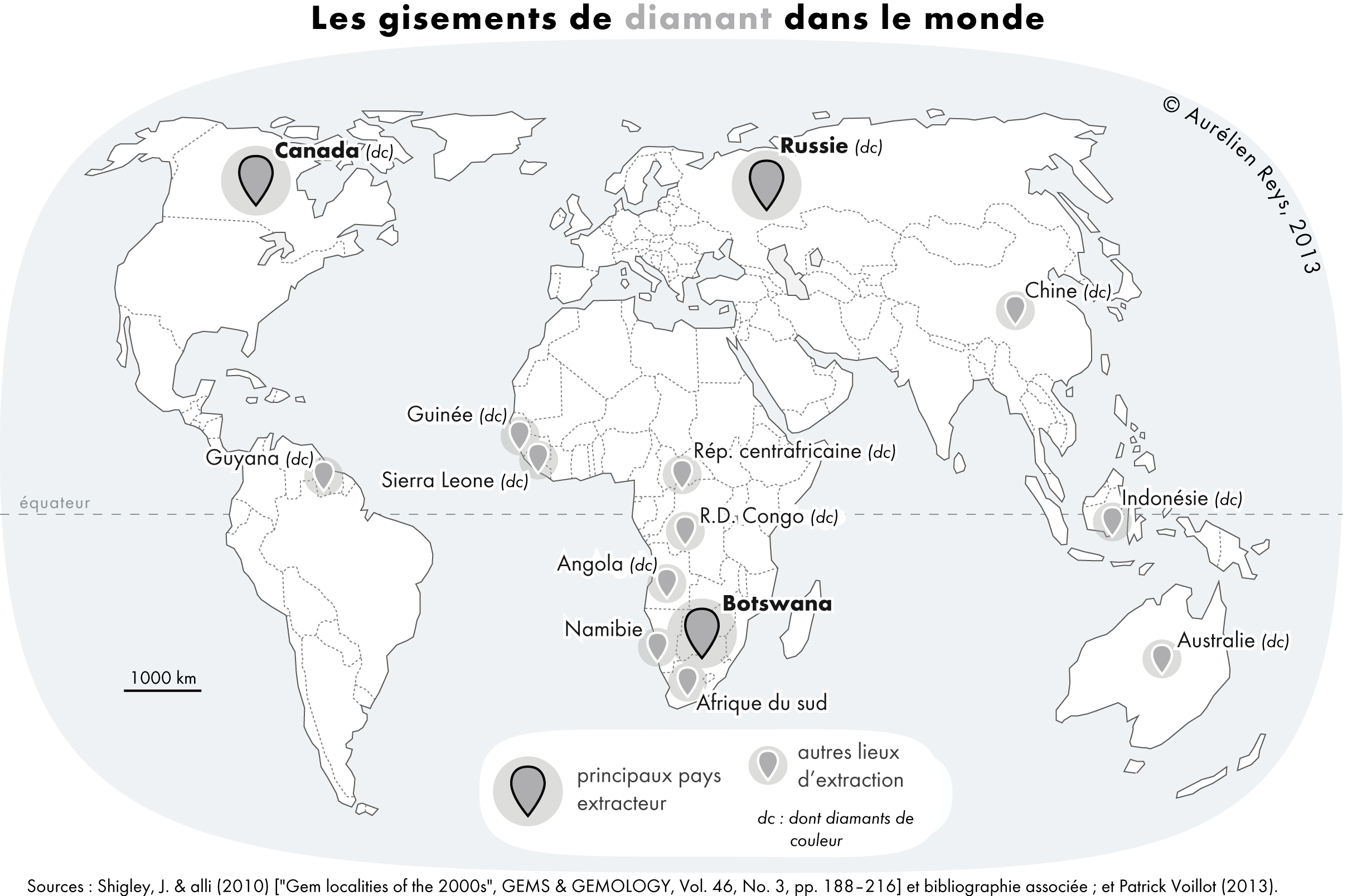
There are a limited number of commercially available diamond mines currently operating in the world, with the 50 largest mines accounting for approximately 90% of global supply. Diamonds are also mined alluvially over disperse areas, where diamonds have been eroded out of the ground, deposited, and concentrated by water or weather action. There is also at least one example of a heritage diamond mine (Crater of Diamonds State Park). Africa Angola *Catoca diamond mine * Fucauma diamond mine * Luarica diamond mine Botswana *Damtshaa diamond mine *Jwaneng diamond mine *Letlhakane diamond mine *Orapa diamond mine * Karowe diamond mine *Lerala diamond mine South Africa *Baken diamond mine *Cullinan diamond mine (previously "Premier mine") *Finsch diamond mine *Kimberley, Northern Cape *Koffiefontein mine *Venetia diamond mine Others *Baba Diamond Fields, Zimbabwe *Marange diamond fields, Zimbabwe *Murowa diamond mine, Zimbabwe *Williamson diamond mine, Tanzania *Letseng diamo ... [...More Info...] [...Related Items...] OR: [Wikipedia] [Google] [Baidu] |
Vein (geology)
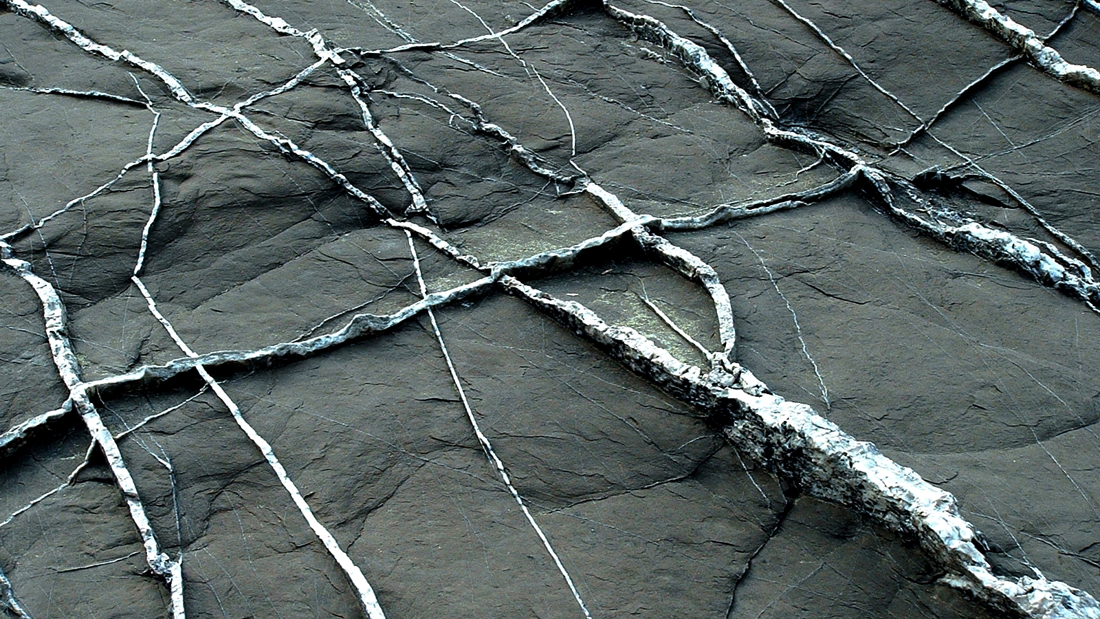
In geology, a vein is a distinct sheetlike body of crystallized minerals within a rock. Veins form when mineral constituents carried by an aqueous solution within the rock mass are deposited through precipitation. The hydraulic flow involved is usually due to hydrothermal circulation. Veins are classically thought of as being the ones in the body not the rock veins and arteries planar fractures in rocks, with the crystal growth occurring normal to the walls of the cavity, and the crystal protruding into open space. This certainly is the method for the formation of some veins. However, it is rare in geology for significant open space to remain open in large volumes of rock, especially several kilometers below the surface. Thus, there are two main mechanisms considered likely for the formation of veins: ''open-space filling'' and ''crack-seal growth''. Open space filling Open space filling is the hallmark of epithermal vein systems, such as a stockwork, in greisens or in cert ... [...More Info...] [...Related Items...] OR: [Wikipedia] [Google] [Baidu] |
Diamonds
Diamond is a solid form of the element carbon with its atoms arranged in a crystal structure called diamond cubic. Another solid form of carbon known as graphite is the chemically stable form of carbon at room temperature and pressure, but diamond is metastable and converts to it at a negligible rate under those conditions. Diamond has the highest hardness and thermal conductivity of any natural material, properties that are used in major industrial applications such as cutting and polishing tools. They are also the reason that diamond anvil cells can subject materials to pressures found deep in the Earth. Because the arrangement of atoms in diamond is extremely rigid, few types of impurity can contaminate it (two exceptions are boron and nitrogen). Small numbers of defects or impurities (about one per million of lattice atoms) color diamond blue (boron), yellow (nitrogen), brown (defects), green (radiation exposure), purple, pink, orange, or red. Diamond also has a very ... [...More Info...] [...Related Items...] OR: [Wikipedia] [Google] [Baidu] |
Landforms Of Bahia
A landform is a natural or anthropogenic land feature on the solid surface of the Earth or other planetary body. Landforms together make up a given terrain, and their arrangement in the landscape is known as topography. Landforms include hills, mountains, canyons, and valleys, as well as shoreline features such as bays, peninsulas, and seas, including submerged features such as mid-ocean ridges, volcanoes, and the great ocean basins. Physical characteristics Landforms are categorized by characteristic physical attributes such as elevation, slope, orientation, stratification, rock exposure and soil type. Gross physical features or landforms include intuitive elements such as berms, mounds, hills, ridges, cliffs, valleys, rivers, peninsulas, volcanoes, and numerous other structural and size-scaled (e.g. ponds vs. lakes, hills vs. mountains) elements including various kinds of inland and oceanic waterbodies and sub-surface features. Mountains, hills, plateaux, and plains are the fou ... [...More Info...] [...Related Items...] OR: [Wikipedia] [Google] [Baidu] |


.jpg)


.jpg)