|
Shibuya River
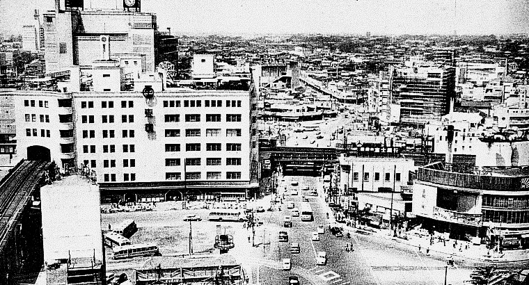
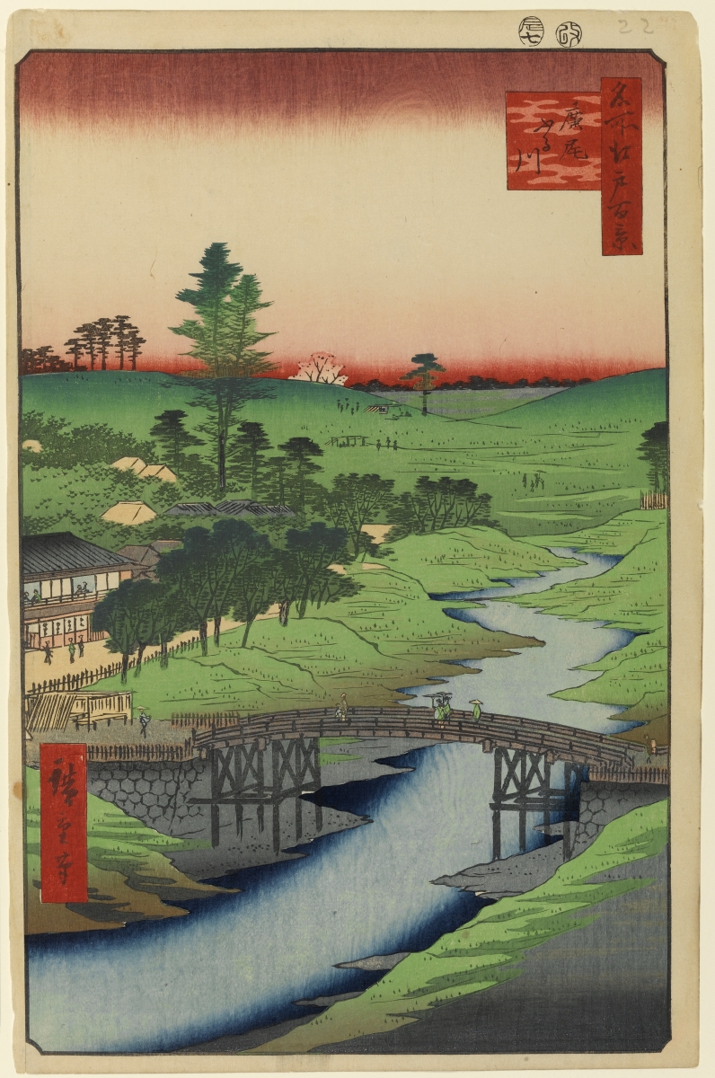
The is a river which flows through central Tokyo, Japan. The river is 2.6 km in length originating close to Shibuya Station and passing through Shibuya and Minato wards before merging with the Furu River near Hiroo and flowing into Tokyo Bay near Shiba Koen. The Inner Circular Route is built above the lower course of the river. The Shibuya River banks are predominantly unlandscaped; the major tributary of the river, the Onden River, originates in Sendagaya and passes largely unnoticed directly under Cat Street in the heart of Ura-Harajuku. The Onden River merges with the Uda River in central Shibuya forming the Shibuya River which then flows directly under Shibuya Station as a covered concrete drain. Redevelopment plans for Shibuya Station include the prospect of a more accessible Shibuya River with landscaping and pedestrian access. See also * Shibuya, Tokyo * Harajuku is a district in Shibuya, Tokyo, Japan. Harajuku is the common name given to a geographic ar ... [...More Info...] [...Related Items...] OR: [Wikipedia] [Google] [Baidu] |
Shibuya River 01
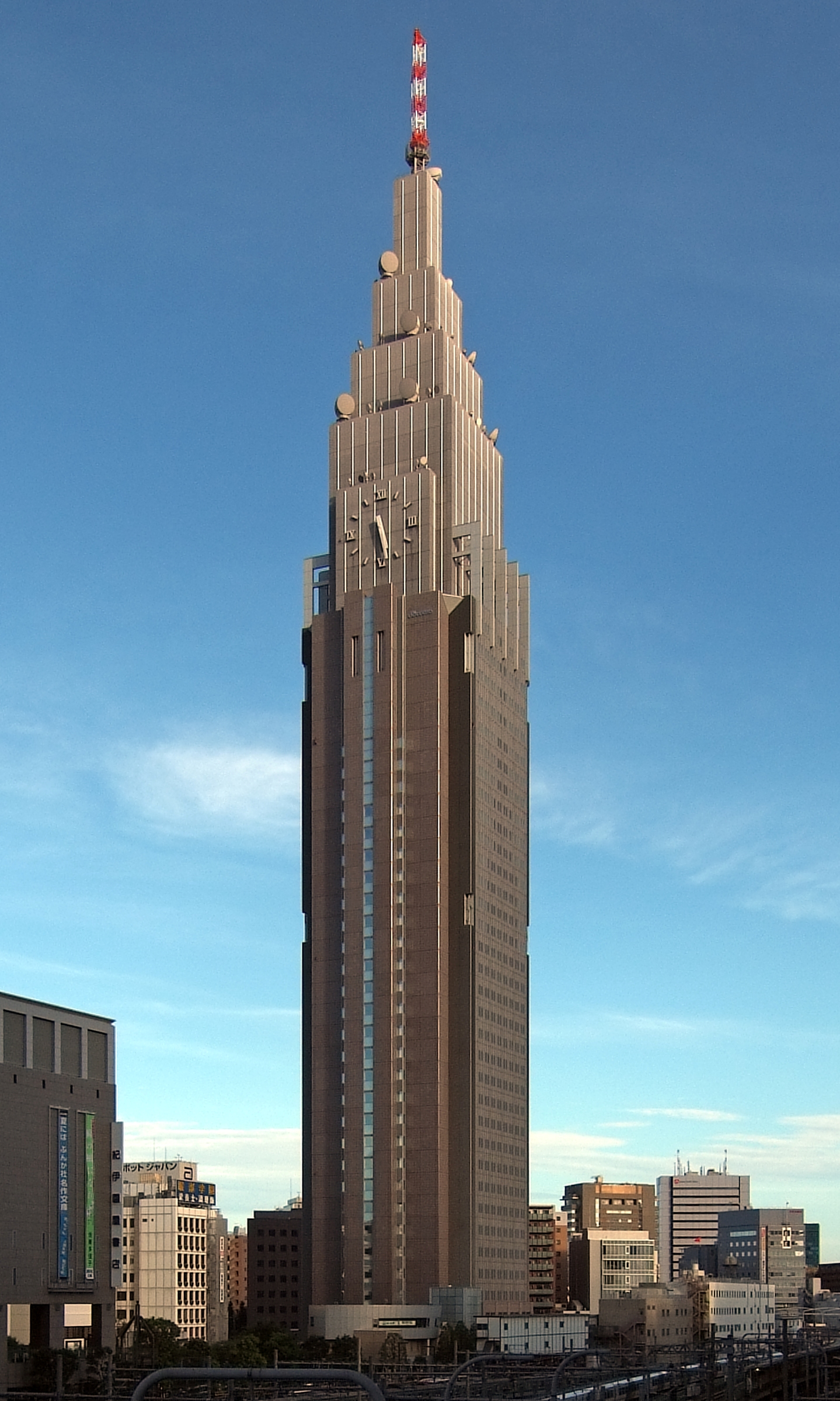
Shibuya (渋谷 区 ''Shibuya-ku'') is a special ward in Tokyo, Japan. As a major commercial and finance center, it houses two of the busiest railway stations in the world, Shinjuku Station (southern half) and Shibuya Station. As of April 1, 2022, it has an estimated population of 228,906 and a population density of 15,149.30 people per km2 (39,263.4/sq mi). The total area is 15.11 km2 (5.83 sq mi). The name "Shibuya" is also used to refer to the shopping district which surrounds Shibuya Station. This area is known as one of the fashion centers of Japan, particularly for young people, and as a major nightlife area. History Heian to Edo period Shibuya was historically the site of a castle in which the Shibuya family resided from the 11th century through the Edo period. Following the opening of the Yamanote Line in 1885, Shibuya began to emerge as a railway terminal for southwestern Tokyo and eventually as a major commercial and entertainment center. Meiji to Showa period ... [...More Info...] [...Related Items...] OR: [Wikipedia] [Google] [Baidu] |
Inner Circular Route (Shuto Expressway)
The , signed as Route C1, is one of the routes of the Shuto Expressway system serving the central part of the Greater Tokyo Area. The route is a complete loop around the central Tokyo wards of Chiyoda, Chūō, and Minato, with a total length of . In addition to serving areas of central Tokyo, the Inner Circular Route also serves as the origin of the radial routes of the Shuto Expressway. A section of the expressway is built above the Shibuya River. History The expressway was built between 1962 and 1967, partly in preparation for the 1964 Summer Olympics. In 2009, Tokyo private industries proposed funding a project to dismantle the elevated expressway and put them underground. In May 2020, the Shuto Expressway Company received approval for plans to relocate 1.8 kilometers of the expressway underground between Kandabashi and Edobashi Junctions, in the area where the Nihonbashi Bridge is located. Construction will commence with the permanent closure of the Edobashi and Gofukuba ... [...More Info...] [...Related Items...] OR: [Wikipedia] [Google] [Baidu] |
Shibuya
Shibuya ( 渋谷 区 ''Shibuya-ku'') is a special ward in Tokyo, Japan. As a major commercial and finance center, it houses two of the busiest railway stations in the world, Shinjuku Station (southern half) and Shibuya Station. As of April 1, 2022, it has an estimated population of 228,906 and a population density of 15,149.30 people per km2 (39,263.4/sq mi). The total area is 15.11 km2 (5.83 sq mi). The name "Shibuya" is also used to refer to the shopping district which surrounds Shibuya Station. This area is known as one of the fashion centers of Japan, particularly for young people, and as a major nightlife area. History Heian to Edo period Shibuya was historically the site of a castle in which the Shibuya family resided from the 11th century through the Edo period. Following the opening of the Yamanote Line in 1885, Shibuya began to emerge as a railway terminal for southwestern Tokyo and eventually as a major commercial and entertainment center. Meiji to Showa peri ... [...More Info...] [...Related Items...] OR: [Wikipedia] [Google] [Baidu] |
Rivers Of Tokyo
A river is a natural flowing watercourse, usually freshwater, flowing towards an ocean, sea, lake or another river. In some cases, a river flows into the ground and becomes dry at the end of its course without reaching another body of water. Small rivers can be referred to using names such as creek, brook, rivulet, and rill. There are no official definitions for the generic term river as applied to geographic features, although in some countries or communities a stream is defined by its size. Many names for small rivers are specific to geographic location; examples are "run" in some parts of the United States, "burn" in Scotland and northeast England, and "beck" in northern England. Sometimes a river is defined as being larger than a creek, but not always: the language is vague. Rivers are part of the water cycle. Water generally collects in a river from precipitation through a drainage basin from surface runoff and other sources such as groundwater recharge, springs, a ... [...More Info...] [...Related Items...] OR: [Wikipedia] [Google] [Baidu] |
Harajuku
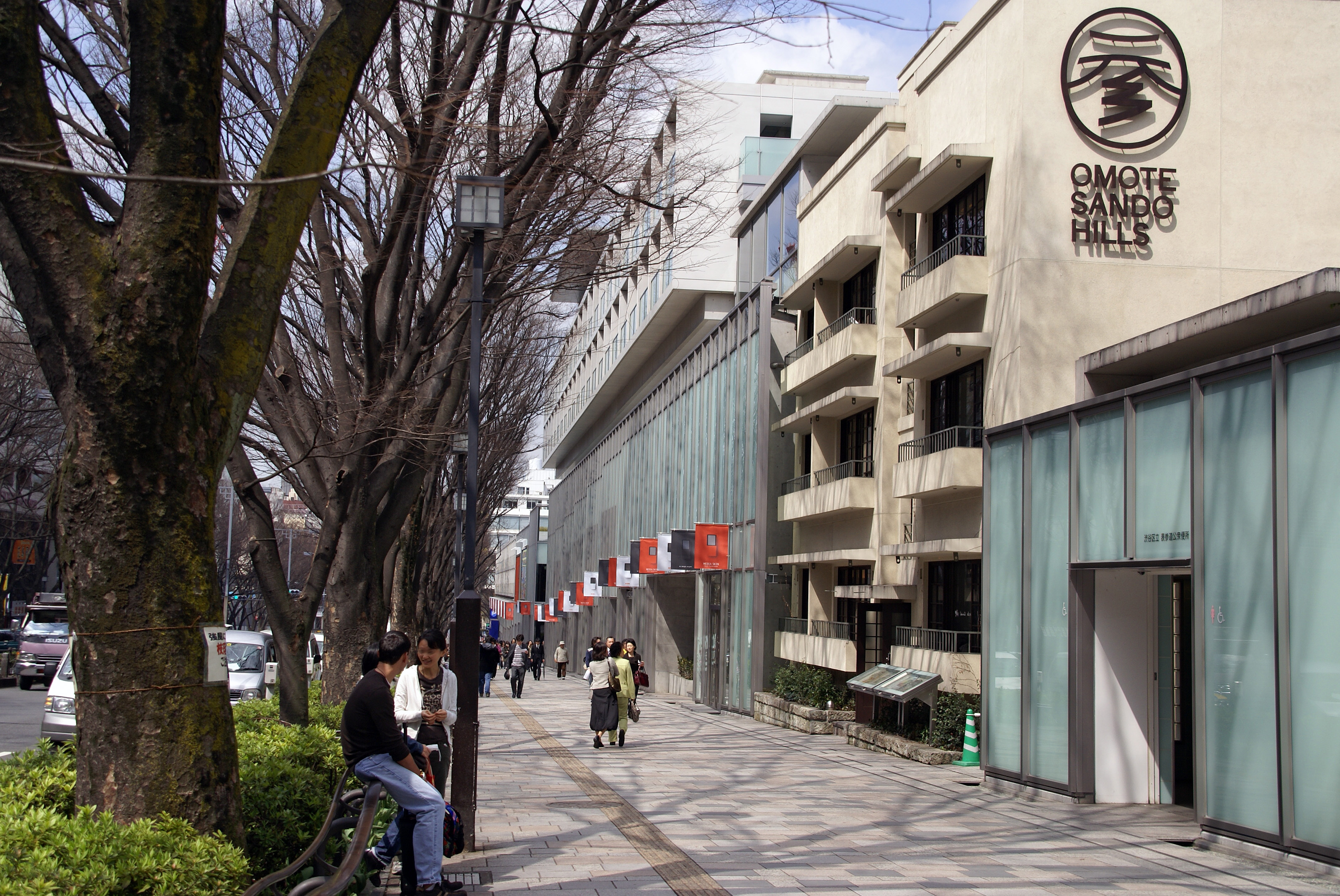
is a district in Shibuya, Tokyo, Japan. Harajuku is the common name given to a geographic area spreading from Harajuku Station to Omotesando, corresponding on official maps of Shibuya ward as Jingūmae 1 chōme to 4 chōme. In popular reference, Harajuku also encompasses many smaller backstreets such as Takeshita Street and Cat Street spreading from Sendagaya in the north to Shibuya in the south. Harajuku is known internationally as a center of Japanese youth culture and fashion. Shopping and dining options include many small, youth-oriented, independent boutiques and cafés, but the neighborhood also attracts many larger international chain stores with high-end luxury merchandisers extensively represented along Omotesando. Harajuku Station on the East Japan Railway (JR East) Yamanote Line and Meiji-jingumae 'Harajuku' Station served by the Tokyo Metro Chiyoda Line and Tokyo Metro Fukutoshin Line also act as gateways to local attractions such as the Meiji Shrine, Yoyogi ... [...More Info...] [...Related Items...] OR: [Wikipedia] [Google] [Baidu] |
Watermill At Onden
A watermill or water mill is a mill that uses hydropower. It is a structure that uses a water wheel or water turbine to drive a mechanical process such as milling (grinding), rolling, or hammering. Such processes are needed in the production of many material goods, including flour, lumber, paper, textiles, and many metal products. These watermills may comprise gristmills, sawmills, paper mills, textile mills, hammermills, trip hammering mills, rolling mills, wire drawing mills. One major way to classify watermills is by wheel orientation (vertical or horizontal), one powered by a vertical waterwheel through a gear mechanism, and the other equipped with a horizontal waterwheel without such a mechanism. The former type can be further divided, depending on where the water hits the wheel paddles, into undershot, overshot, breastshot and pitchback (backshot or reverse shot) waterwheel mills. Another way to classify water mills is by an essential trait about their location: tide mills ... [...More Info...] [...Related Items...] OR: [Wikipedia] [Google] [Baidu] |
Ura-Harajuku
is a district in Shibuya, Tokyo, Japan. Ura-Harajuku, or Ura-Hara, is the common name given to the network of smaller Harajuku backstreets spreading perpendicular to Omotesando, corresponding on official maps of Shibuya ward as Jingūmae 3 chōme and 4 chōme. Ura-Harajuku contrasts with the main vehicle thoroughfares and retail offerings of Harajuku being mostly pedestrianized and showcasing smaller independent shops and dining options. Cat Street, following the course of the main Shibuya River tributary, is the principal route through this district spreading from Sendagaya in the north towards Shibuya in the south. See also *Japanese street fashion *Hiroshi Fujiwara *Jun Takahashi * A Bathing Ape *Visvim Visvim is a Manufacturing in Japan, Japanese menswear brand founded by Hiroki Nakamura in Ura-Harajuku in 2001. The brand is headquartered in Tokyo, Japan, and has stores in Japan and the USA. Visvim is also sold internationally in department st ... References Extern ... [...More Info...] [...Related Items...] OR: [Wikipedia] [Google] [Baidu] |
Sendagaya
is an area within Shibuya ward, one of the 23 special wards of Tokyo. Introduction Sendagaya is nestled in an urban green area in Shibuya ward between Shinjuku ward and Shinjuku Gyo-en (Shinjuku Imperial Gardens) to the north (an area in Sendagaya, 6-chōme, is actually located within the gardens). The National Stadium, also known as Olympic Stadium, Tokyo is located immediately to the east, bordering Sendagaya 2-chome. Meiji Shrine and Yoyogi Station are found to the west. Jingumae and Harajuku are directly south. Many important cultural and sporting venues are located in and around Sendagaya. Sendagaya is a mix of old, new, and incredibly futuristic designs. From Sendagaya Station, the main station in Sendagaya, bustling Shinjuku is a tranquil 10-minute walk away along the Imperial Gardens' western wall. Sendagaya Entrance to the gardens is 2 minutes away from Sendagaya Station. Sendagaya, particularly 3-chōme, is home to dozens of clothing and accessory design worksho ... [...More Info...] [...Related Items...] OR: [Wikipedia] [Google] [Baidu] |
Tokyo Bay
is a bay located in the southern Kantō region of Japan, and spans the coasts of Tokyo, Kanagawa Prefecture, and Chiba Prefecture. Tokyo Bay is connected to the Pacific Ocean by the Uraga Channel. The Tokyo Bay region is both the most populous and largest industrialized area in Japan. Names In ancient times, Japanese knew Tokyo Bay as the . By the Azuchi–Momoyama period (1568–1600) the area had become known as after the city of Edo. The bay took its present name in modern times, after the Imperial court moved to Edo and renamed the city Tokyo in 1868. Geography Tokyo Bay juts prominently into the Kantō Plain. It is surrounded by the Bōsō Peninsula in Chiba Prefecture to the east and the Miura Peninsula in Kanagawa Prefecture to the west. The shore of Tokyo Bay consists of a diluvial plateau and is subject to rapid marine erosion. Sediments on the shore of the bay make for a smooth, continuous shoreline. Boundaries In a narrow sense, Tokyo Bay is the area north of ... [...More Info...] [...Related Items...] OR: [Wikipedia] [Google] [Baidu] |
Tokyo
Tokyo (; ja, 東京, , ), officially the Tokyo Metropolis ( ja, 東京都, label=none, ), is the capital and largest city of Japan. Formerly known as Edo, its metropolitan area () is the most populous in the world, with an estimated 37.468 million residents ; the city proper has a population of 13.99 million people. Located at the head of Tokyo Bay, the prefecture forms part of the Kantō region on the central coast of Honshu, Japan's largest island. Tokyo serves as Japan's economic center and is the seat of both the Japanese government and the Emperor of Japan. Originally a fishing village named Edo, the city became politically prominent in 1603, when it became the seat of the Tokugawa shogunate. By the mid-18th century, Edo was one of the most populous cities in the world with a population of over one million people. Following the Meiji Restoration of 1868, the imperial capital in Kyoto was moved to Edo, which was renamed "Tokyo" (). Tokyo was devastate ... [...More Info...] [...Related Items...] OR: [Wikipedia] [Google] [Baidu] |
Hiroo, Shibuya, Tokyo
is a district of Shibuya, Tokyo, Japan. Abutting Ebisu, Minami-Azabu, Nishi-Azabu and Minami-Aoyama, Hiroo is an upmarket residential and shopping neighborhood in central Tokyo. As of October, 2020, the population of this district is 15,263. The postal code for Hiroo is 150-0012. According to the Ministry of Land, Infrastructure and Transport, as of 2020, the residential land prices on Hiroo 2-chōme and 3-chōme are as high as ¥1,350,000/m2 and ¥1,260,000/m2, respectively. Located on Minami-Azabu, the Hiroo Station of Tokyo Metro Hibiya Line is the nearest subway station to Hiroo. Geography Hiroo is located in the southeast area of the district of Shibuya, Tokyo, Japan. The boundaries of Hiroo are Nishi-Azabu, Minato and Minami- Aoyama, Minato to the north and follows the Shibuya River along the south. Minami-Azabu, Minato is located to the east and Higashi, Shibuya is located to the west. Education Tertiary education There are two universities in Hiroo. The Univers ... [...More Info...] [...Related Items...] OR: [Wikipedia] [Google] [Baidu] |
23 Special Wards Of Tokyo
are a special form of municipalities in Japan under the 1947 Local Autonomy Law. They are city-level wards: primary subdivisions of a prefecture with municipal autonomy largely comparable to other forms of municipalities. Although the autonomy law today allows for special wards to be established in other prefectures, to date, they only exist in the Tokyo Metropolis which consists of 23 special wards and 39 other, ordinary municipalities (cities, towns, and villages). The occupy the land that was Tokyo City in its 1936 borders before it was abolished under the Tōjō Cabinet in 1943 to become directly ruled by the prefectural government, then renamed to "Metropolitan". During the Occupation of Japan, municipal autonomy was restored to former Tokyo City by the establishment of special wards, each with directly elected mayor and assembly, as in any other city, town or village in Tokyo and the rest of the country. Minority, mostly leftist calls for a were not answered. The que ... [...More Info...] [...Related Items...] OR: [Wikipedia] [Google] [Baidu] |


