|
Sernf
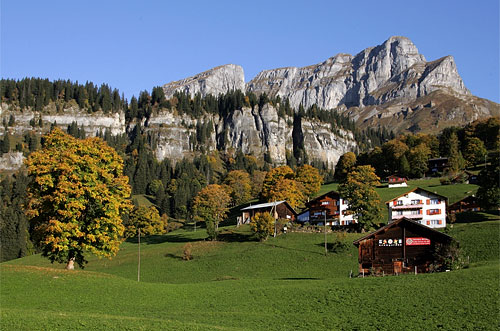
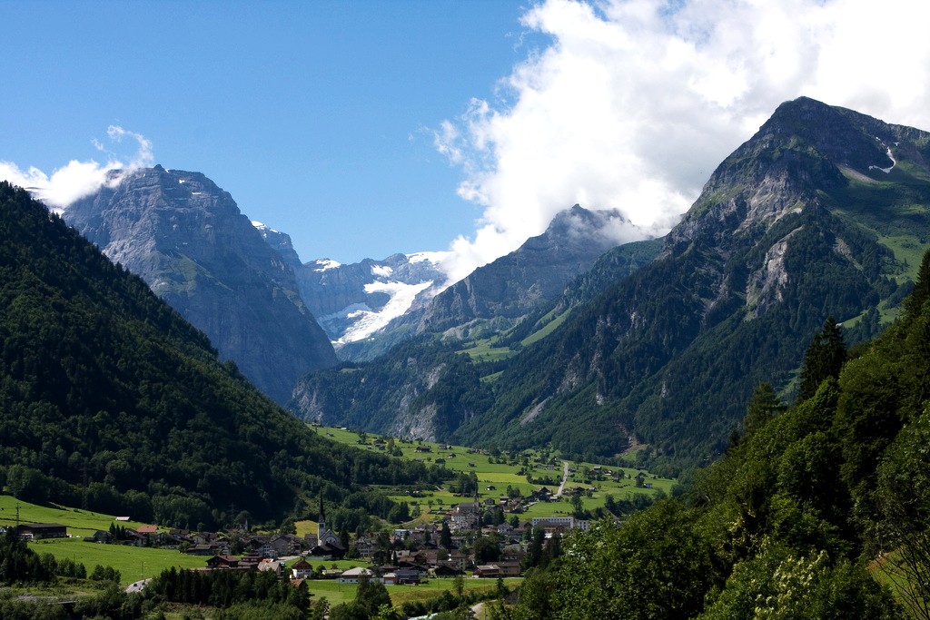
The Sernftal or ''Kleintal'' is an alpine valley within Glarus Süd, in the canton of Glarus, Switzerland. It is formed by the Sernf, a right tributary of the Linth. Situated in the Sernftal are the villages of Elm (977 m) and Engi (812 m). The Panix Pass at 2407 m connects the Sernftal with the anterior Rhine valley in Grisons. Geography The valley is the site of an important geological feature of the Glarus Alps, the ''Glarner Hauptüberschiebung'', a notable fault in alpine geology. A scale model of the feature is on exhibit in the American Museum of Natural History. Name The name ''Sernf'' (earlier also ''Sernft'') is of pre-Germanic origin, either Celtic or an example of Old European hydronymy. It derives from a hypothetical ''*Sarnivos'', containing a PIE root ''*ser'' "to flow". The name of the Sernf river has received some attention in German online culture as the "fifth German word in ''-nf''", popularized by Bastian Sick in his Spiegel Online blog. [...More Info...] [...Related Items...] OR: [Wikipedia] [Google] [Baidu] |
Elm, Switzerland
Elm ( rm, ) is a village, and former municipality, in the municipality of Glarus Süd and canton of Glarus in Switzerland. Elm lies in the valley of the Sernf river, and consists of the village of Elm itself, and the hamlets of Sulzbach, Schwändi, Müsli, Untertal, Vogelsang, Töniberg, Obmoos, Steinibach and Wald. History Elm is first mentioned in 1344 as ''Elme''. The baths at Wichlen were in use since the middle ages and are first mentioned in 1547. They were very popular until they were buried by an avalanche in 1762. Many characteristic wooden structures have survived. In 1799, Russian General Alexander Suvorov and his troops stayed the night in Elm before crossing Panix Pass to Pigniu on their retreat into Austria. By 1861, slate quarrying was taking place. On September 11, 1881, an avalanche caused by excessive quarrying of slate killed 114 and buried 83 structures in the municipality. In 1892, the owner of a spring in Elm that had long been hailed as beneficial w ... [...More Info...] [...Related Items...] OR: [Wikipedia] [Google] [Baidu] |
Engi, Switzerland
Engi is a village, and former municipality, in the municipality of Glarus Süd and canton of Glarus in Switzerland. The village lies in the valley of the Sernf river, and consists of the three adjacent village parts of Engi-Vorderdorf, Engi-Dörfli and Engi-Hinterdorf. History Engi is first mentioned in 1350 as ''ze engi''. From the 16th century, slate mining took place on the Landesplattenberg, overlooking the left bank of Sernf river, which provided slates for roofs, floors and stoves, and later for use in schools. From 1602 the trade was sufficient to support an export tax, and exports to northern and western Europe peaked in the 17th century. The operation declined in the following years, before again increasing with the construction of the first road up the valley in 1826. By 1840, nearly two hundred workers were working in the mine, which was abandoned in 1961 but is now preserved as a tourist attraction. The Early Oligocene Engi slates yield many fossils including shar ... [...More Info...] [...Related Items...] OR: [Wikipedia] [Google] [Baidu] |
Glarus Süd
Glarus Süd is a municipality in the Swiss canton of Glarus. It comprises the upper Linth valley, and the entire Sernf valley, and includes the villages of Betschwanden, Braunwald, Diesbach, Elm, Engi, Haslen, Hätzingen, Leuggelbach, Linthal, Luchsingen, Matt, Mitlödi, Nidfurn, Rüti, Schwanden, Schwändi and Sool. Glarus Süd is one of three municipalities of the canton of Glarus, the others being Glarus and Glarus Nord. History The municipality of Glarus Süd was created on 1 January 2011, incorporating the former municipalities of Betschwanden, Braunwald, Elm, Engi, Haslen, Linthal, Luchsingen, Matt, Mitlödi, Rüti, Schwanden, Schwändi and Sool. At the time of its creation, Glarus Süd was the largest Swiss municipality by area. As of 1 January 2015, it was overtaken in size by the expanded municipality of Scuol in the canton of Graubünden. Geography Glarus Süd incorporates all of the valley of the Linth river from Mitlödi, just upstream of the tow ... [...More Info...] [...Related Items...] OR: [Wikipedia] [Google] [Baidu] |
Aare
The Aare () or Aar () is a tributary of the High Rhine and the longest river that both rises and ends entirely within Switzerland. Its total length from its source to its junction with the Rhine comprises about , during which distance it descends , draining an area of , almost entirely within Switzerland, and accounting for close to half the area of the country, including all of Central Switzerland. There are more than 40 hydroelectric plants along the course of the Aare. The river's name dates to at least the La Tène period, and it is attested as ''Nantaror'' "Aare valley" in the Berne zinc tablet. The name was Latinized as ''Arula''/''Arola''/''Araris''. Course The Aare rises in the great Aargletschers (Aare Glaciers) of the Bernese Alps, in the canton of Bern and west of the Grimsel Pass. The Finsteraargletscher and Lauteraargletscher come together to form the Unteraargletscher (Lower Aar Glacier), which is the main source of water for the Grimselsee (Lake of Grim ... [...More Info...] [...Related Items...] OR: [Wikipedia] [Google] [Baidu] |
Valleys Of The Alps
The main valleys of the Alps, orographically by drainage basin. Rhine basin (North Sea) High Rhine *Aare **Limmat ***Linth (Glarus) ****Lake Walen *****Seeztal **** Klöntal ****Sernftal **Reuss ***Lake Lucerne ****Sarner Aa (Brünig Pass connects to the Aare basin) ****Muota ***Schächental, Klausen Pass connects to Glarus ***Urseren ***Susten Pass connects to the Gadmertal ***Furka Pass connects to the Goms **Saane/Sarine ***Sense **Gürbetal **Lake Thun, Bernese Oberland *** Kander ****Simmental *****Diemtigental (Chirel, Fildrich (Narebach, Senggibach, Gurbsbach)) **** Suldtal **** Kiental **** Engstligental ****Kandertal ***, Habkern *** Brienzersee, Interlaken ****Lütschine ***** Saxettal ***** Schwarze Lütschine, Lütschental, Grindelwald, Grosse Scheidegg connects to Reichenbachtal ***** Weisse Lütschine, Lauterbrunnental, Lauterbrunnen ******Sefinental **** Giessbach ****Haslital, Meiringen *****Reichenbachtal (Rychenbach, Seilibach), Grosse Scheidegg connects to ... [...More Info...] [...Related Items...] OR: [Wikipedia] [Google] [Baidu] |
Canton Of Glarus
The canton of Glarus (german: Kanton Glarus rm, Chantun Glaruna; french: Canton de Glaris; it, Canton Glarona) is a canton in east central Switzerland. The capital is Glarus. The population speaks a variety of Alemannic German. The majority of the population (81%) identifies as Christian, about evenly split between Protestants and Catholics. History According to legend, the inhabitants of the Linth Valley were converted to Christianity in the 6th century by the Irish monk Saint Fridolin, the founder of Säckingen Abbey in what is now the German state of Baden-Württemberg. From the 9th century, the area around Glarus was owned by Säckingen Abbey, the town of Glarus being recorded as ''Clarona''. The Alemanni began to settle in the valley from the early 8th century. The Alemannic German language took hold only gradually, and was dominant by the 11th century. By 1288, the Habsburgs had claimed all the abbey's rights. Glarus joined the Old Swiss Confederacy in 1352 as one of t ... [...More Info...] [...Related Items...] OR: [Wikipedia] [Google] [Baidu] |
Linth
The Linth (pronounced "lint") is a Swiss river that rises near the village of Linthal in the mountains of the canton of Glarus, and eventually flows into the Obersee section of Lake Zurich. It is about in length. The water power of the Linth was a main factor in the creation of the textile industry of the canton Glarus, and is today used to drive the Linth–Limmern power stations in its upper reaches. The river and its upper valley forms the boundary between the mountain ranges of the Glarus Alps, to its east and south, and the Schwyzer Alps, to its west. Course of the river The river rises to the south-west of the village of Linthal, at the foot the Tödi mountain (elevation ). It collects the water from several glaciers, including the Clariden Glacier and the Biferten Glacier, as well as various tributary streams, including the ''Oberstafelbach'', the ''Bifertenbach'', the ''Sandbach'', the ''Walenbach'' and the ''Limmerenbach''. The last of these is dammed to create t ... [...More Info...] [...Related Items...] OR: [Wikipedia] [Google] [Baidu] |
Panix Pass
Panix Pass or Panixer Pass ( Romansh: ''Pass dil Veptga'', German: ''Panixerpass'') (2404 m) is a Swiss Alpine pass between the cantons of Glarus and Graubünden. The pass was once an important trade route between the canton of Glarus and Italy. It connects Elm in the Sernftal in Glarus with Pigniu (Panix) in the Vorderrhein valley of Graubünden. It is not passable by car. In October 1799, Russian General Alexander Suvorov made a strategic retreat from the French Revolutionary forces south over the pass and regrouped his forces in Austria. Gallery File:Vasily Surikov - Suvorov Crossing the Alps in 1799 - Google Art Project.jpg, Suvorov crossing the pass in 1799 File:ETH-BIB-Elm, Vorab, Panixerpass v. N. aus 3600 m-Inlandflüge-LBS MH01-001357.tif, The pass in 1919 File:Panixerpass03.JPG, The pass in 2009 File:Panixerpass04.JPG, The pass in 2009 See also * List of mountain passes This is a list of mountain passes. Africa Egypt * Halfaya Pass (near Libya) Lesotho * M ... [...More Info...] [...Related Items...] OR: [Wikipedia] [Google] [Baidu] |
Old European Hydronymy
Old European (german: Alteuropäisch) is the term used by Hans Krahe (1964) for the language of the oldest reconstructed stratum of European hydronymy (river names) in Central and Western Europe.Hans Krahe, ''Unsere ältesten Flussnamen'', Wiesbaden Edition Otto Harrassowiitz (1964)"Old European" in this sense is not to be confused with the term as used by Marija Gimbutas who applies it to non-Indo-European or pre-Indo-European Neolithic Europe. Geography Krahe writes in A1, chapter III, "Introducing preface" Number 2 that the old European hydronomy extended from Scandinavia to South Italy, from Western Europe including the British Isles to the Baltic countries. Of the three Mediterranean peninsulas, Italy was most completely included, whilst the Balkan Peninsula was only scarcely covered. He writes that what he presents for hydronomy also applies to mountains and ranges of mountains, and continues with "Karpaten" and "Karawanken", certainly within the Slavic settlement area, omitt ... [...More Info...] [...Related Items...] OR: [Wikipedia] [Google] [Baidu] |
Valleys Of Switzerland
A valley is an elongated low area often running between Hill, hills or Mountain, mountains, which will typically contain a river or stream running from one end to the other. Most valleys are formed by erosion of the land surface by rivers or streams over a very long period. Some valleys are formed through erosion by glacier, glacial ice. These glaciers may remain present in valleys in high mountains or polar areas. At lower latitudes and altitudes, these glaciation, glacially formed valleys may have been created or enlarged during ice ages but now are ice-free and occupied by streams or rivers. In desert areas, valleys may be entirely dry or carry a watercourse only rarely. In karst, areas of limestone bedrock, dry valleys may also result from drainage now taking place cave, underground rather than at the surface. Rift valleys arise principally from tectonics, earth movements, rather than erosion. Many different types of valleys are described by geographers, using terms th ... [...More Info...] [...Related Items...] OR: [Wikipedia] [Google] [Baidu] |
Geneva
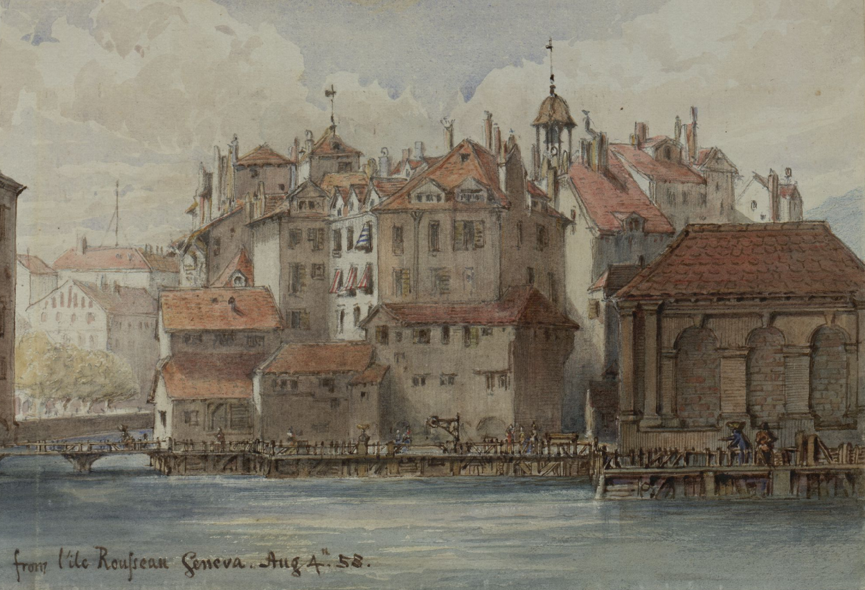
Geneva ( ; french: Genève ) frp, Genèva ; german: link=no, Genf ; it, Ginevra ; rm, Genevra is the List of cities in Switzerland, second-most populous city in Switzerland (after Zürich) and the most populous city of Romandy, the French-speaking part of Switzerland. Situated in the south west of the country, where the Rhône exits Lake Geneva, it is the capital of the Canton of Geneva, Republic and Canton of Geneva. The city of Geneva () had a population 201,818 in 2019 (Jan. estimate) within its small municipal territory of , but the Canton of Geneva (the city and its closest Swiss suburbs and exurbs) had a population of 499,480 (Jan. 2019 estimate) over , and together with the suburbs and exurbs located in the canton of Vaud and in the French Departments of France, departments of Ain and Haute-Savoie the cross-border Geneva metropolitan area as officially defined by Eurostat, which extends over ,As of 2020, the Eurostat-defined Functional Urban Area of Geneva was made up of 9 ... [...More Info...] [...Related Items...] OR: [Wikipedia] [Google] [Baidu] |
Spiegel Online
''Der Spiegel (online)'' is a German news website. Before the renaming in January 2020, the website's name was ''Spiegel Online'' (short ''SPON''). It was founded in 1994 as the online offshoot of the German news magazine, ''Der Spiegel'', with a staff of journalists working independently of the magazine. Today, it is the most frequently quoted online media product in Germany. ''Spiegel Online International'', a section featuring articles translated into English, was launched in autumn 2004. In 2019, its editorial office was merged with the one of the printed Spiegel and in 2020, the website was renamed accordingly. Company and editorial staff The news website ''Der Spiegel (online)'' is run by Der Spiegel GmbH & Co. KG (formerly Spiegel Online GmbH & Co. KG), itself a wholly owned subsidiary of Spiegel-Verlag. The editorial offices of the news website and the print magazine ''Der Spiegel'' were separate operations, that had their own offices, authors and content until January ... [...More Info...] [...Related Items...] OR: [Wikipedia] [Google] [Baidu] |


