|
Scissett
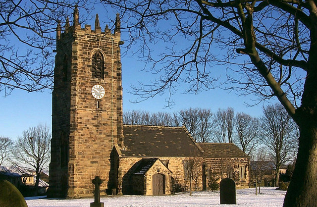
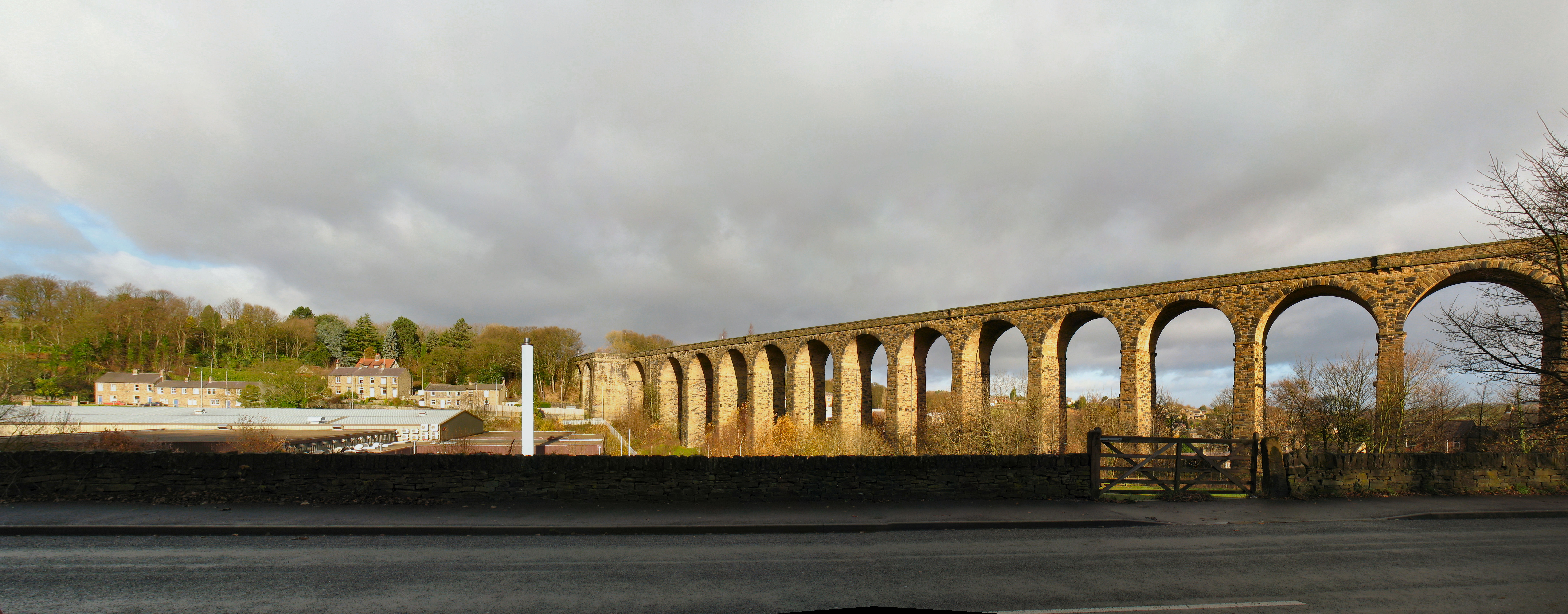
Scissett is a village in West Yorkshire, England. It is south-east of Huddersfield and north-west of Barnsley. According to the 2001 census, the village had a population of 1,324. Scissett is halfway between the villages of Clayton West, Skelmanthorpe and Denby Dale on the A636 road to Wakefield. River Dearne runs through the village, which was affected by the 2007 United Kingdom floods. Scissett grew up around the woollen industry in the 19th century as mill owners built houses in the area for their workers. The nearby coalfields also provided employment. These industries are now gone and some of the mills are now retail units. The Scissett Baths (and leisure centre) is one of the main attractions for the surrounding area. Scissett has first and middle schools to provide education for children ages 4 to 13. Scissett Youth Band began life in the village in 1978 but moved to Shelley Methodist Hall in 1991. Sport Scissett is home to two sports clubs, Scissett Football C ... [...More Info...] [...Related Items...] OR: [Wikipedia] [Google] [Baidu] |
Clayton West
Clayton West is a village in Kirklees, West Yorkshire, England. It had a population of 2,648 (2001 census) and 2,704 in 2008. It is southeast of Huddersfield and northwest of Barnsley. History The Industrial Revolution was the transition to new manufacturing processes in the period from about 1760 to sometime between 1820 and 1840. The Industrial Revolution had brought a migration of the population to the Dearne Valley where abundant water was available for manufacturers, so people lived away from the church. Both Clayton West and Scissett had grown so rapidly that there were people still alive in 1873 that could remember the expansion. Although the parish of Scissett had been created in 1839, yet Clayton West remained as a part of High Hoyland. By 1865 eleven coal mines existed in the Dearne Valley. The Clayton West village coal mine (pit), "Park Mill", closed in 1989, having been somewhat bypassed by the events of the UK miners strike (1984–85)Park Mill Collieryoperated ... [...More Info...] [...Related Items...] OR: [Wikipedia] [Google] [Baidu] |
Listed Buildings In Denby Dale
Denby Dale is a civil parish in the metropolitan borough of Kirklees, West Yorkshire, England. It contains 82 listed buildings that are recorded in the National Heritage List for England. Of these, one is listed at Grade I, the highest of the three grades, three are at Grade II*, the middle grade, and the others are at Grade II, the lowest grade. The parish contains the villages of Denby Dale, Clayton West, Lower Cumberworth, Upper Cumberworth, Lower Denby, Upper Denby, Emley, Scissett, and Skelmanthorpe, and is otherwise rural. Most of the listed buildings are houses and cottages, farmhouses and farm buildings, and churches and chapels with associated structures. The other listed buildings include the base of a market cross, bridges, including a packhorse bridge, mill buildings, a milestone and mileposts, a set of stocks Stocks are feet restraining devices that were used as a form of corporal punishment and public humiliation. The use of stocks is seen ... [...More Info...] [...Related Items...] OR: [Wikipedia] [Google] [Baidu] |
Colin Booth (mycologist)
Colin Booth (9 December 1924, Scissett, West Yorkshire, UK – 9 April 2003, Somerset, Southwest England) was an English mycologist, known a leading authority on the genus ''Fusarium''. Biography As the son of a beamer in a textile mill, Colin Booth grew up in the village of Scissett and was educated at the village school. He left school at age 14, first working as a stone mason and then as a butcher. During WW II in 1941 he volunteered for the Royal Navy and served until 1943 when a spinal injury caused him to be invalided out. After two years of study, he graduated from Huddersfield Technical College. At the University of London, he graduated with a B.Sc. in botany, an M.Sc. in mycology and plant pathology in 1953, and a Ph.D. in 1959 with a Ph.D. thesis on ''Fusarium''. From 1969 to 1983, Booth was assistant director of Kew's International Mycological Institute (IMI). There he produced comprehensive maps of the global distribution of plant diseases. His research on classifica ... [...More Info...] [...Related Items...] OR: [Wikipedia] [Google] [Baidu] |
River Dearne
The River Dearne South Yorkshire, England flows roughly east for more than , from its source just inside West Yorkshire. It flows through Denby Dale, Clayton West, Darton, Barnsley, Darfield, Wath upon Dearne, Bolton on Dearne, Adwick upon Dearne and Mexborough to its confluence with the River Don at Denaby Main. Its main tributary is the River Dove, which joins it at Darfield. The river was one of those affected by the 2007 United Kingdom floods. The course of the river is accessible to walkers as the Dearne Way, a long distance footpath from ''Dearne Head'' to the river's junction with the Don. Places of interest along the Dearne include the Yorkshire Sculpture Park at West Bretton, and Monk Bretton Priory. The Dearne Valley below Barnsley is a regeneration area. The river has been subject to channel engineering to ease the problem of flooding. A new channel was constructed near its mouth in the 1950s, as the old route had been affected by mining subsidence. Washlands, ... [...More Info...] [...Related Items...] OR: [Wikipedia] [Google] [Baidu] |
Skelmanthorpe
Skelmanthorpe is a clustered village 8 miles (13 km) south-east of Huddersfield, West Yorkshire, England. According to the 2011 census, the village has 4,549 inhabitants. The village sits on the south (right) bank of the first river-like flow, from three small headwaters (uniting in the northwest corner of the parish), of the Dearne. It is part of the civil parish of Denby Dale in the Kirklees Borough, the main local authority. Name The village was recorded as ''Scelmertorp'' in the Domesday Book in the year 1086 AD. The name itself derives from the Norse personal name ''Skjaldmarr'' and ''thorp''; thus having the meaning of an "outlying farmstead of a man called Skjaldmarr". Shat Locals know it as "Shat", which appears to be an abbreviation of "Shatterers", the name by which the locals are known. Local labour was taken on during construction of the railway to break or 'shatter' rocks as well as work on the excavations. These unskilled labourers were referred to as ... [...More Info...] [...Related Items...] OR: [Wikipedia] [Google] [Baidu] |
Kirklees
Kirklees is a local government district of West Yorkshire, England, governed by Kirklees Council with the status of a metropolitan borough. The largest town and administrative centre of Kirklees is Huddersfield, and the district also includes Batley, Birstall, West Yorkshire, Birstall, Cleckheaton, Denby Dale, Dewsbury, Heckmondwike, Holmfirth, Kirkburton, Marsden, West Yorkshire, Marsden, Meltham, Mirfield and Slaithwaite. Kirklees had a population of 422,500 in 2011; it is also the third largest metropolitan district in England by List of English districts by area, area size, behind Metropolitan Borough of Doncaster, Doncaster and City of Leeds, Leeds. History The borough was formed on 1 April 1974 by the provisions of the Local Government Act 1972 as part of a reform of local government in England. Eleven former local government districts were Amalgamation (politics), merged: the county boroughs of Huddersfield and Dewsbury, the municipal boroughs of Batley and Spenborough a ... [...More Info...] [...Related Items...] OR: [Wikipedia] [Google] [Baidu] |
2007 United Kingdom Floods
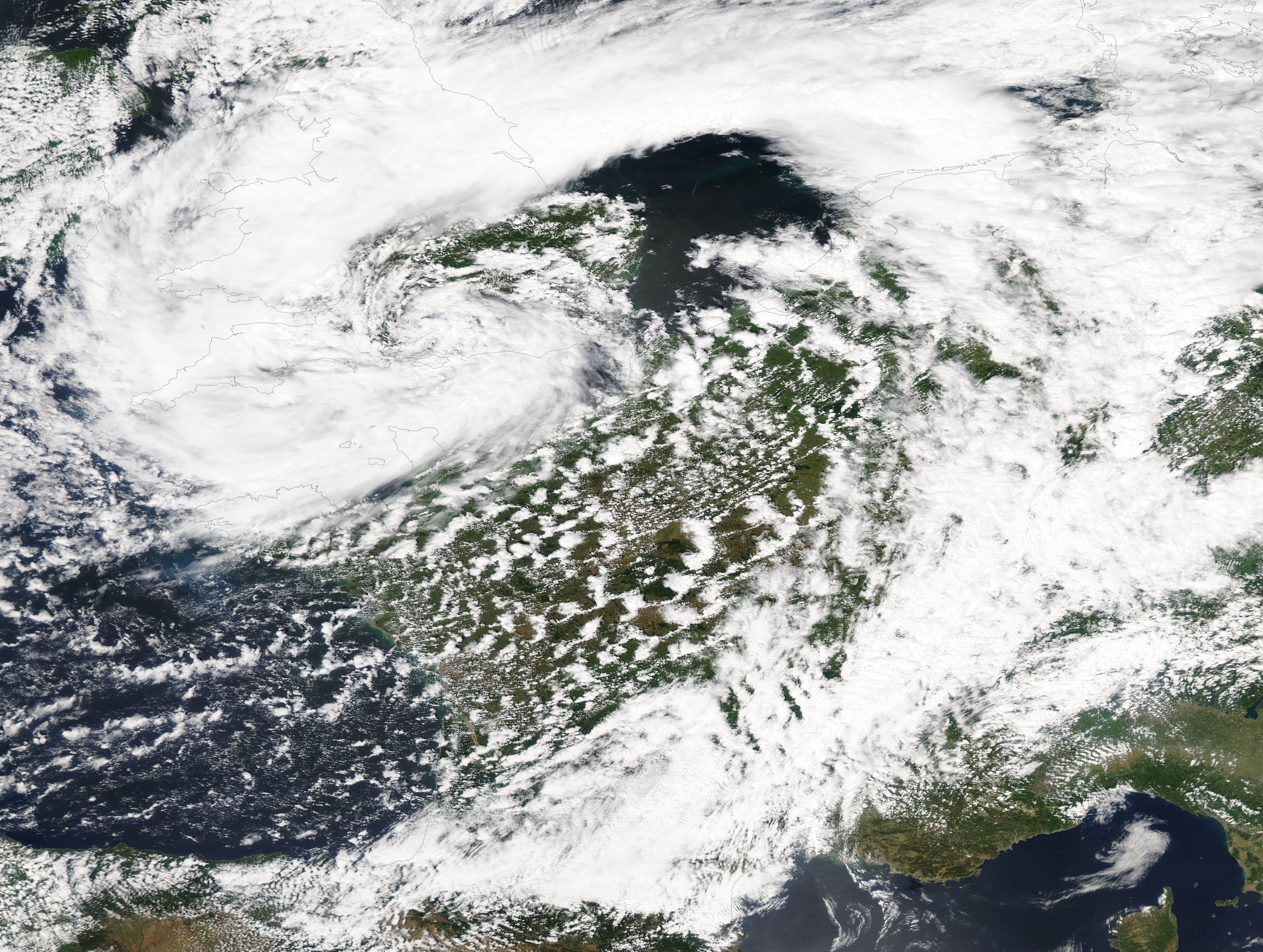
A series of large floods occurred in parts of the United Kingdom during the summer of 2007. The worst of the flooding occurred across Scotland on 14 June; East Yorkshire and the Midlands on 15 June; Yorkshire, the Midlands, Gloucestershire, Herefordshire and Worcestershire on 25 June; and Gloucestershire, Herefordshire, Worcestershire, Oxfordshire, Berkshire and South Wales on 28 July 2007. June was one of the wettest months on record in Britain (see List of weather records). Average rainfall across the country was ; more than double the June average. Some areas received a month's worth of precipitation in 24 hours. It was Britain's wettest May–July period since records began in 1776. July had unusually unsettled weather and above-average rainfall through the month, peaking on 20 July as an active frontal system dumped more than of rain in southern England. Civil and military authorities described the June and July rescue efforts as the biggest in peacetime Britain. The Envi ... [...More Info...] [...Related Items...] OR: [Wikipedia] [Google] [Baidu] |
A636 Road
The A636 is a main road in West Yorkshire, England, starting at Wakefield and connecting with the M1 motorway at junction 39 and with the A637 at Flockton roundabout. It ends at the A635 at Denby Dale Denby Dale is a village and civil parish in the metropolitan borough of Kirklees in West Yorkshire, England. It is 10 miles (17 km) to the south-east of Huddersfield and 9 miles (14 km) north-west of Barnsley. The village is the main village ... Roads in Yorkshire Transport in West Yorkshire Wakefield {{England-road-stub ... [...More Info...] [...Related Items...] OR: [Wikipedia] [Google] [Baidu] |
Wakefield
Wakefield is a cathedral city in West Yorkshire, England located on the River Calder. The city had a population of 99,251 in the 2011 census.https://www.nomisweb.co.uk/census/2011/ks101ew Census 2011 table KS101EW Usual resident population, West Yorkshire – Wakefield BUASD, code E35000474 The city is the administrative centre of the wider City of Wakefield metropolitan district, which had a population of , the most populous district in England. It is part of the West Yorkshire Built-up Area and the Yorkshire and The Humber region. In 1888, it was one of the last group of towns to gain city status due to having a cathedral. The city has a town hall and county hall, as the former administrative centre of the city's county borough and metropolitan borough as well as county town to both the West Riding of Yorkshire and West Yorkshire, respectively. The Battle of Wakefield took place in the Wars of the Roses, and the city was a Royalist stronghold in the Civil War. Wake ... [...More Info...] [...Related Items...] OR: [Wikipedia] [Google] [Baidu] |
Denby Dale
Denby Dale is a village and civil parish in the metropolitan borough of Kirklees in West Yorkshire, England. It is 10 miles (17 km) to the south-east of Huddersfield and 9 miles (14 km) north-west of Barnsley. The village is the main village in the Denby Dale civil parish that also covers Lower Denby, Upper Denby, Upper Cumberworth, Lower Cumberworth, Skelmanthorpe, Emley, West Yorkshire, Emley, Emley Moor and Clayton West. The parish had a population of 14,982 according to the 2001 census, increasing to 16,365 at the 2011 census. The parish council gives the electorate of the village itself as 2,143. The River Dearne runs through the village; in the 2007 United Kingdom floods, floods of 2007 it burst its banks on two occasions and caused damage to Springfield Mill. History First recorded as Denby Dyke. Before the Industrial Revolution the village was sparsely-populated with a small textile industry at the crossroads of the Barnsley to Shepley Lane Head and the Wakefield ... [...More Info...] [...Related Items...] OR: [Wikipedia] [Google] [Baidu] |
West Yorkshire
West Yorkshire is a metropolitan and ceremonial county in the Yorkshire and Humber Region of England. It is an inland and upland county having eastward-draining valleys while taking in the moors of the Pennines. West Yorkshire came into existence as a metropolitan county in 1974 after the reorganisation of the Local Government Act 1972 which saw it formed from a large part of the West Riding of Yorkshire. The county had a recorded population of 2.3 million in the 2011 Census making it the fourth-largest by population in England. The largest towns are Huddersfield, Castleford, Batley, Bingley, Pontefract, Halifax, Brighouse, Keighley, Pudsey, Morley and Dewsbury. The three cities of West Yorkshire are Bradford, Leeds and Wakefield. West Yorkshire consists of five metropolitan boroughs (City of Bradford, Calderdale, Kirklees, City of Leeds and City of Wakefield); it is bordered by the counties of Derbyshire to the south, Greater Manchester to the south-west, Lancash ... [...More Info...] [...Related Items...] OR: [Wikipedia] [Google] [Baidu] |


