|
Schnaittach
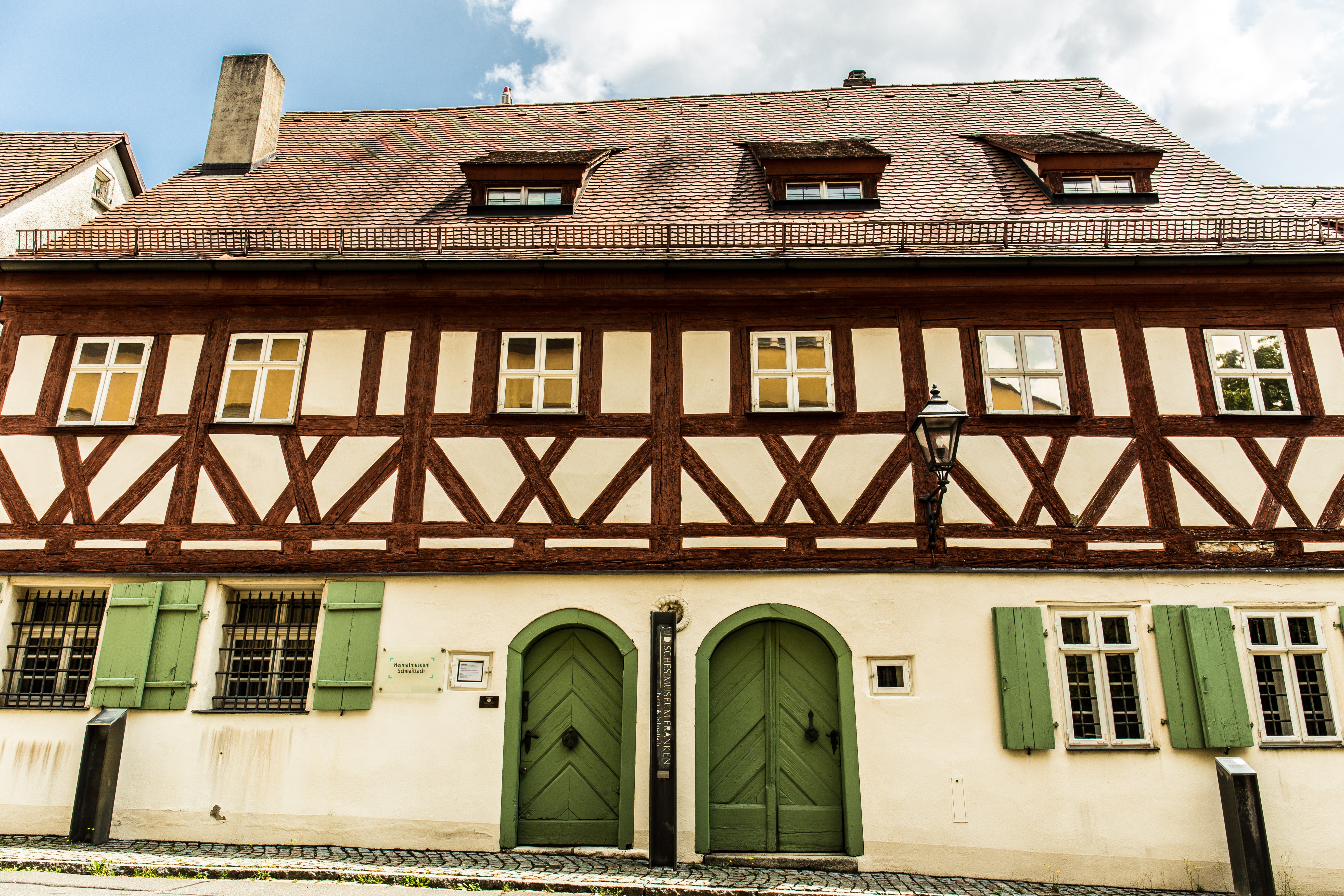
Schnaittach is a market town in Middle Franconia, Bavaria, Germany. Geography Schnaittach is on the river Schnaittach, a tributary of the Pegnitz. History Schnaittach was first mentioned in 1011. Until 1806 the Christian population of Schnaittach was Catholic, in contrast to the surrounding areas. Schnaittach has had a large Jewish community since the 15th century. Today, the building complex of the synagogue houses a branch of the Jewish Museum of Franconia (the main museum is in Fürth). Twin towns * Twinned with Frohnleiten, Austria * "Friendship" with Schlettau Schlettau is a town in the district of Erzgebirgskreis, in Saxony in Germany. It is situated in the Ore Mountains (Germany), Ore Mountains, 5 km southwest of Annaberg-Buchholz, and 12 km east of Schwarzenberg, Saxony, Schwarzenberg. ..., Saxony References External links Official town Web site Fortifications near Schnaittach Jewish Museum of Franconia {{Authority control Nürnberger La ... [...More Info...] [...Related Items...] OR: [Wikipedia] [Google] [Baidu] |
Rothenberg Fortress
Rothenberg Fortress (german: Festung Rothenberg) is a fortress on the eponymous hill, 588 m, near Schnaittach in the Franconian Jura. Beginnings The first fortifications were probably built between 1300 and 1330 by Dietrich von House of Wildenstein, Wildenstein. He sold it in 1360 to the emperor and Bohemian king, Charles IV (HRR), Charles IV, who had the fort upgraded into a border castle in order to protect his Bohemian allodial estate. ''Ganerbenburg'' In 1478, Count Palatine Otto II of Palatinate-Mosbach, Otto II set the condition for Rothenberg Castle to become a joint-fief or ''Ganerbenburg''. 44 co-vassals who, together with the town of Rothenberg and market town of Schnaittach, acquired the castle as a so-called mesne fief or ''Afterlehen'', were given relatively little property and few rights, but the community of co-vassals formed a strong alliance to which other members of noble families in the area could be attached. The castle also had several rights of p ... [...More Info...] [...Related Items...] OR: [Wikipedia] [Google] [Baidu] |
Schnaittach (Pegnitz)
Schnaittach (in its upper course before the confluence with the Ittlinger Bach: Naifer Bach) is a river of Bavaria, Germany. It is a right tributary of the Pegnitz (river), Pegnitz near Neunkirchen am Sand. It passes through the town Schnaittach. See also *List of rivers of Bavaria References Rivers of Bavaria Nürnberger Land Rivers of Germany {{Bavaria-river-stub ... [...More Info...] [...Related Items...] OR: [Wikipedia] [Google] [Baidu] |
Pegnitz (river)
The Pegnitz () is a river in Franconia in the German state of Bavaria. The Pegnitz has its source in the town of the same name at an altitude of and meets the Rednitz at in Fürth to form the Regnitz river. But often esp. by local people the long Fichtenohe is regarded as upper course of the Pegnitz. The Fichtenohe source is in Lindenhardt Forest north of Pegnitz town. The Pegnitz is about long, with Fichtenohe . The river is inhabited by numerous ducks, coots, swans, and gulls. Tributaries * Fichtenohe (left tributary) * Flembach (left tributary) * Hirschbach (left tributary) * Högenbach (left tributary from the Pommelsbrunn direction) * Happurger Bach (left tributary) * Sittenbach (right tributary) * Hammerbach (left tributary) * Sandbach (left tributary) * Schnaittach (right tributary) * Röttenbach (right tributary) * Bitterbach (right tributary) * Röthenbach (left tributary) * Langwassergraben (right tributary) * Tiefgraben (right tributary) * Goldbach (left tribut ... [...More Info...] [...Related Items...] OR: [Wikipedia] [Google] [Baidu] |
Fürth
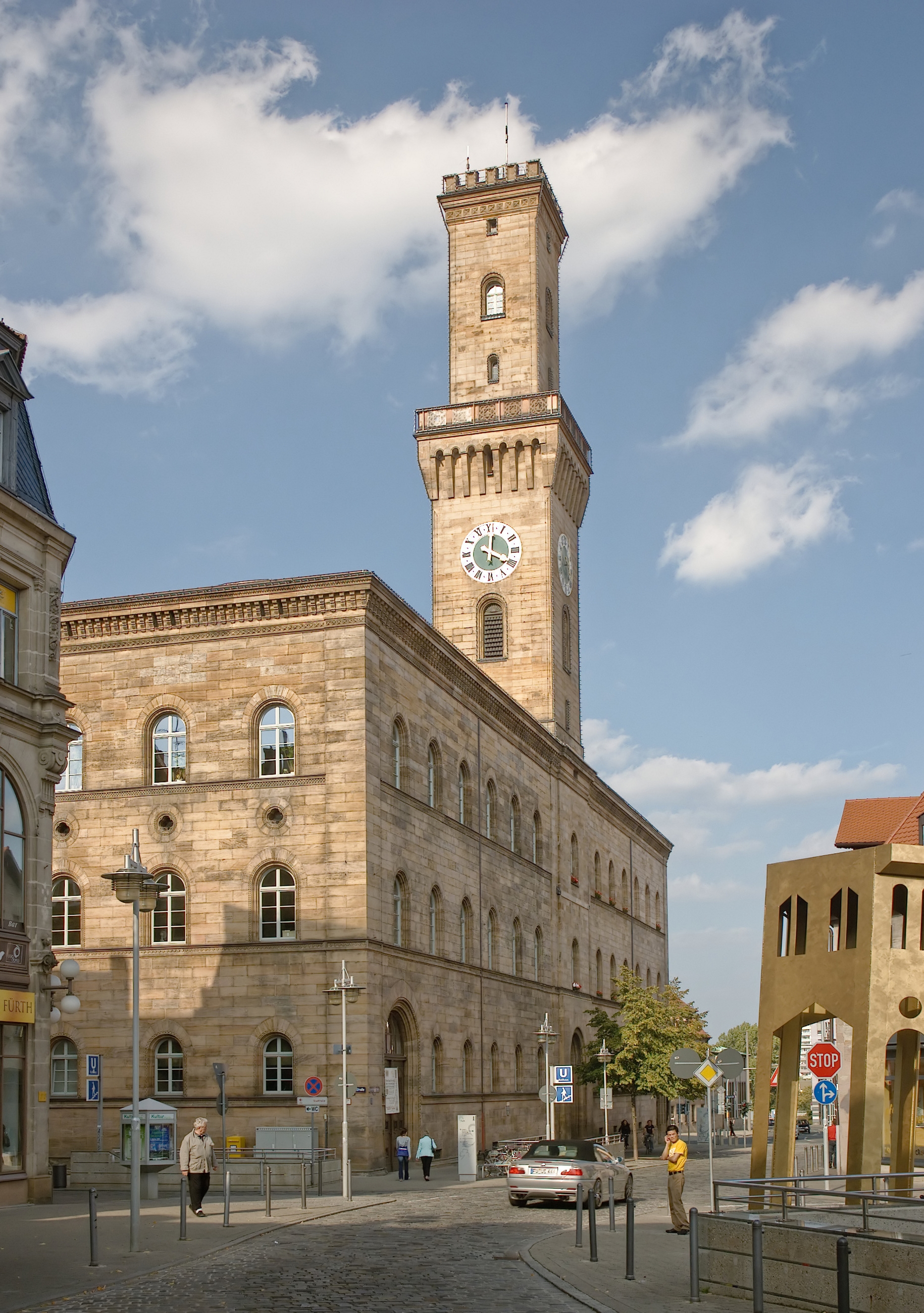
Fürth (; East Franconian: ; yi, פיורדא, Fiurda) is a city in northern Bavaria, Germany, in the administrative division (''Regierungsbezirk'') of Middle Franconia. It is now contiguous with the larger city of Nuremberg, the centres of the two cities being only apart. Fürth is one of 23 "major centres" in Bavaria. Fürth, Nuremberg, Erlangen and some smaller towns form the "Middle Franconian Conurbation", which is one of the 11 German metropolitan regions. Fürth celebrated its thousand year anniversary in 2007, its first mention being on 1 November 1007. Geography The historic centre of the town is to the east and south of the rivers Rednitz and Pegnitz, which join to form the Regnitz to the northwest of the Old Town. To the west of the town, on the far side of the Main-Danube Canal, is the Fürth municipal forest (''Fürther Stadtwald''). To the east of Fürth, at roughly the same latitude, lies Nuremberg, and to the north is the fertile market-gardening area know ... [...More Info...] [...Related Items...] OR: [Wikipedia] [Google] [Baidu] |
Bayerisches Landesamt Für Statistik
The statistical offices of the German states (German language, German: ''Statistische Landesämter'') carry out the task of collecting official statistics in Germany together and in cooperation with the Federal Statistical Office of Germany, Federal Statistical Office. The implementation of statistics according to Article 83 of the Basic Law for the Federal Republic of Germany, constitution is executed at state level. The Bundestag, federal government has, under Article 73 (1) 11. of the constitution, the exclusive legislation for the "statistics for federal purposes." There are 14 statistical offices for the States of Germany, 16 states: See also * Federal Statistical Office of Germany References {{Reflist National statistical services, Germany Lists of organisations based in Germany, Statistical offices Official statistics, Germany ... [...More Info...] [...Related Items...] OR: [Wikipedia] [Google] [Baidu] |
Middle Franconia
Middle Franconia (german: Mittelfranken, ) is one of the three administrative regions of Franconia in Bavaria, Germany. It is located in the west of Bavaria and borders the state of Baden-Württemberg. The administrative seat is Ansbach; however, the most populous city is Nuremberg. Subdivisions The region is divided into seven districts ('Landkreise') and five independent cities ('Kreisfreie Städte'). Independent cities * Ansbach * Erlangen * Fürth * Nuremberg * Schwabach Districts * Ansbach * Erlangen-Höchstadt * Fürth * Neustadt (Aisch)-Bad Windsheim * Nürnberger Land * Roth * Weißenburg-Gunzenhausen History After the founding of the Kingdom of Bavaria the state was totally reorganised and, in 1808, divided into 15 administrative government regions (German: Regierungsbezirke (singular Regierungsbezirk)), in Bavaria called Kreise (singular: Kreis). They were created in the fashion of the French departements, quite even in size and population, and named after their mai ... [...More Info...] [...Related Items...] OR: [Wikipedia] [Google] [Baidu] |
Bavaria
Bavaria ( ; ), officially the Free State of Bavaria (german: Freistaat Bayern, link=no ), is a state in the south-east of Germany. With an area of , Bavaria is the largest German state by land area, comprising roughly a fifth of the total land area of Germany. With over 13 million inhabitants, it is second in population only to North Rhine-Westphalia, but due to its large size its population density is below the German average. Bavaria's main cities are Munich (its capital and largest city and also the third largest city in Germany), Nuremberg, and Augsburg. The history of Bavaria includes its earliest settlement by Iron Age Celtic tribes, followed by the conquests of the Roman Empire in the 1st century BC, when the territory was incorporated into the provinces of Raetia and Noricum. It became the Duchy of Bavaria (a stem duchy) in the 6th century AD following the collapse of the Western Roman Empire. It was later incorporated into the Holy Roman Empire, became an ind ... [...More Info...] [...Related Items...] OR: [Wikipedia] [Google] [Baidu] |
Germany
Germany,, officially the Federal Republic of Germany, is a country in Central Europe. It is the second most populous country in Europe after Russia, and the most populous member state of the European Union. Germany is situated between the Baltic and North seas to the north, and the Alps to the south; it covers an area of , with a population of almost 84 million within its 16 constituent states. Germany borders Denmark to the north, Poland and the Czech Republic to the east, Austria and Switzerland to the south, and France, Luxembourg, Belgium, and the Netherlands to the west. The nation's capital and most populous city is Berlin and its financial centre is Frankfurt; the largest urban area is the Ruhr. Various Germanic tribes have inhabited the northern parts of modern Germany since classical antiquity. A region named Germania was documented before AD 100. In 962, the Kingdom of Germany formed the bulk of the Holy Roman Empire. During the 16th ce ... [...More Info...] [...Related Items...] OR: [Wikipedia] [Google] [Baidu] |
Synagogue
A synagogue, ', 'house of assembly', or ', "house of prayer"; Yiddish: ''shul'', Ladino: or ' (from synagogue); or ', "community". sometimes referred to as shul, and interchangeably used with the word temple, is a Jewish house of worship. Synagogues have a place for prayer (the main sanctuary and sometimes smaller chapels), where Jews attend religious Services or special ceremonies (including Weddings, Bar Mitzvahs or Bat Mitzvahs, Confirmations, choir performances, or even children's plays), have rooms for study, social hall(s), administrative and charitable offices, classrooms for religious school and Hebrew school, sometimes Jewish preschools, and often have many places to sit and congregate; display commemorative, historic, or modern artwork throughout; and sometimes have items of some Jewish historical significance or history about the Synagogue itself, on display. Synagogues are consecrated spaces used for the purpose of Jewish prayer, study, assembly, and r ... [...More Info...] [...Related Items...] OR: [Wikipedia] [Google] [Baidu] |
Frohnleiten
Frohnleiten is a town in the district of Graz-Umgebung in the Austrian state of Styria. Rathaus_Frohnleiten.JPG, Town Hall of Frohnleiten Frohnleiten Baroque gables 264.jpg, Baroque gables at the main square of Frohnleiten Frohnleiten_Oktober_2014.JPG, View of the old town center from a bridge over the river Mur Population Transportation Frohnleiten lies on the main southern railway line connecting Vienna and Graz. The journey from Graz main station to Frohnleiten takes approximately 25 minutes. Starting from the railway station the old town center can be reached by walking over a bridge over the River Mur The Mur () or Mura (; ; ; Prekmurje Slovene: ''Müra''Novak, Vilko. 2006. ''Slovar stare knjižne prekmurščine''. Ljubljana: ZRC SAZU, pp. 262, 269. or ''Möra'') is a river in Central Europe rising in the Hohe Tauern national park of th ... in about 10 minutes. Main sights In Frohnleiten and its surroundings are several castles and manor houses with histori ... [...More Info...] [...Related Items...] OR: [Wikipedia] [Google] [Baidu] |
Austria
Austria, , bar, Östareich officially the Republic of Austria, is a country in the southern part of Central Europe, lying in the Eastern Alps. It is a federation of nine states, one of which is the capital, Vienna, the most populous city and state. A landlocked country, Austria is bordered by Germany to the northwest, the Czech Republic to the north, Slovakia to the northeast, Hungary to the east, Slovenia and Italy to the south, and Switzerland and Liechtenstein to the west. The country occupies an area of and has a population of 9 million. Austria emerged from the remnants of the Eastern and Hungarian March at the end of the first millennium. Originally a margraviate of Bavaria, it developed into a duchy of the Holy Roman Empire in 1156 and was later made an archduchy in 1453. In the 16th century, Vienna began serving as the empire's administrative capital and Austria thus became the heartland of the Habsburg monarchy. After the dissolution of the H ... [...More Info...] [...Related Items...] OR: [Wikipedia] [Google] [Baidu] |
Schlettau
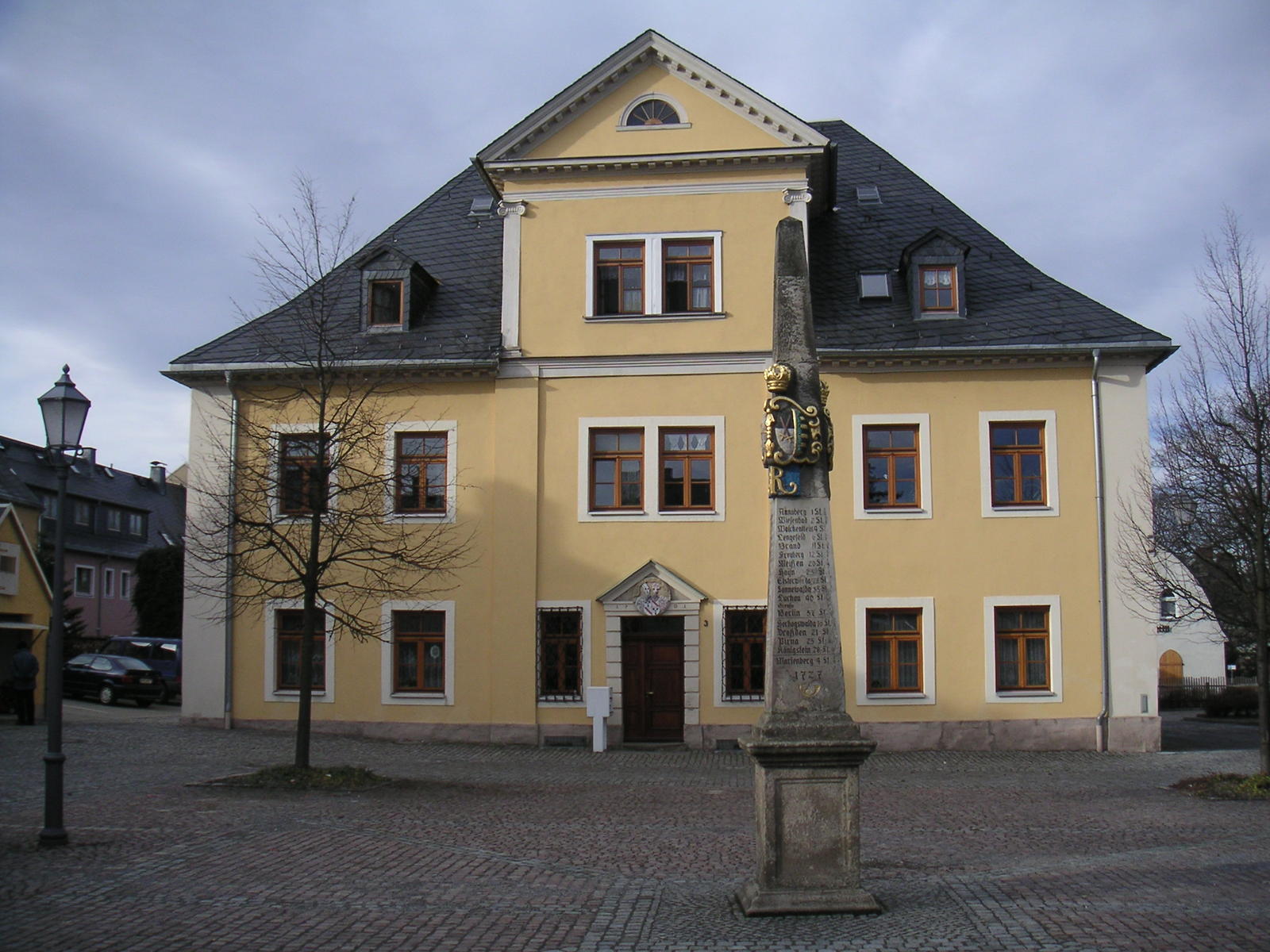
Schlettau is a town in the district of Erzgebirgskreis, in Saxony in Germany. It is situated in the Ore Mountains (Germany), Ore Mountains, 5 km southwest of Annaberg-Buchholz, and 12 km east of Schwarzenberg, Saxony, Schwarzenberg. History From 1952 to 1990, Schlettau was part of the Bezirk Karl-Marx-Stadt of East Germany. References Erzgebirgskreis {{Erzgebirgskreis-geo-stub ... [...More Info...] [...Related Items...] OR: [Wikipedia] [Google] [Baidu] |


.jpg)

