|
Saw Mill River Parkway
The Saw Mill River Parkway (also known as the Saw Mill Parkway or the Saw Mill) is a north–south parkway that extends for through Westchester County, New York, in the United States. It begins at the border between Westchester County and the Bronx, as the continuation of the Henry Hudson Parkway leaving New York City, and heads generally northeastward to an interchange with Interstate 684 (I-684). At its north end, the parkway serves as a collector/distributor road as it passes east of the hamlet of Katonah. The parkway is named for the Saw Mill River, which the highway parallels for most of its length. The Saw Mill serves as an important connection from the Taconic State and Sprain Brook parkways to the Tappan Zee Bridge and New York State Thruway. It is a limited-access highway, but not a controlled-access highway as several of its exits are signalized at-grade intersections. The Saw Mill River Parkway is inventoried by the New York State Department of Transportation ... [...More Info...] [...Related Items...] OR: [Wikipedia] [Google] [Baidu] |
New York State Department Of Transportation
The New York State Department of Transportation (NYSDOT) is the department of the New York state government responsible for the development and operation of highways, railroads, mass transit systems, ports, waterways and aviation facilities in the U.S. state of New York. This transportation network includes: * A state and local highway system, encompassing over 110,000 miles (177,000 km) of highway and 17,000 bridges. * A 5,000 mile (8,000 km) rail network, carrying over 42 million short tons (38 million metric tons) of equipment, raw materials, manufactured goods and produce each year. * Over 130 public transit operators, serving over 5.2 million passengers each day. * Twelve major public and private ports, handling more than 110 million short tons (100 million metric tons) of freight annually. * 456 public and private aviation facilities, through which more than 31 million people travel each year. It owns two airports, Stewart International Airport near Newburgh, ... [...More Info...] [...Related Items...] OR: [Wikipedia] [Google] [Baidu] |
Katonah, New York
Katonah is a hamlet and census-designated place (CDP) within the town of Bedford, Westchester County, in the U.S. state of New York. The Katonah CDP had a population of 1,679 at the 2010 census. History Katonah is named for Chief Katonah, an American Indian from whom the land of Bedford was purchased by a group of English colonists. During the American Revolution military battles or skirmishes did not take place in the area that is now the Village of Katonah. However, most local men joined the Continental side, with some joining the New York 4th Regiment of the Line and most joining the local Militia. Though Bedford Township lay in what was called "Neutral Ground", supposedly unmolested by military forces of either side, its inhabitants were preyed on by the lawless of both sides. This area suffered less from such depredations than other areas in the Neutral Ground, because of the proximity of the Croton River and the "Westchester Lines", a sparse string of outposts defen ... [...More Info...] [...Related Items...] OR: [Wikipedia] [Google] [Baidu] |
Yonkers Avenue
Yonkers Avenue is an east–west street in the city of Yonkers in Westchester County, New York, in the United States. It is one of four major east–west through routes in the city. The western terminus of the street is at Nepperhan Avenue, which connects to U.S. Route 9 (US 9) and New York State Route 9A (NY 9A). Its eastern terminus is at Bronx River Road near the Bronx River Parkway. The entirety of Yonkers Avenue is maintained by the New York State Department of Transportation as New York State Route 983C from Nepperhan Avenue to the Saw Mill River Parkway and New York State Route 984E from the Saw Mill Parkway to Bronx River Road. Both are unsigned reference route designations. A continuation of Yonkers Avenue east into Mount Vernon is signed as "To Mount Vernon Avenue" for the street it connects to on the opposite bank of the Bronx River. The bridge carrying the street over the Bronx River Parkway and the Bronx River is maintained by Westches ... [...More Info...] [...Related Items...] OR: [Wikipedia] [Google] [Baidu] |
Cross County Parkway
The Cross County Parkway (CCP) is a parkway in lower Westchester County, New York, in the United States. The parkway is a critical east–west connection throughout Westchester, having full interchanges with every major north–south highway in southern Westchester with the exception of Interstate 95 (New England Thruway). Among its junctions, it has access to the New York State Thruway mainline. The western terminus is at the Saw Mill Parkway in Yonkers. The eastern terminus is at the Hutchinson River Parkway in New Rochelle. As evident from stubs and oversized overpasses, it appears that there were plans to expand the Parkway west from Exit 2 to Downtown Yonkers and east from Exit 9 to I-95. World War II had slowed this idea until it was shelved. The CCP is the only parkway in New York state that has express and local lanes. The parkway is designated New York State Route 907K (NY 907K), an unsigned reference route. Route description The Cross Cou ... [...More Info...] [...Related Items...] OR: [Wikipedia] [Google] [Baidu] |
New York State Route 164 (1940–1960s)
New York State Route 164 (NY 164) was a state highway in the New York City Metropolitan Area. It extended for from U.S. Route 9 (US 9) and NY 9A in Yonkers to US 1 in the New York City borough of the Bronx. The route ran mostly along the New York City line and indirectly met both the Saw Mill River Parkway and the New York State Thruway in Yonkers. NY 164 followed McLean Avenue in Yonkers and Nereid and Baychester Avenues in the Bronx. The NY 164 designation was assigned to provide a signed route to the 1939–1940 New York World's Fair held in Queens. Originally, it began at the northern approach to the Bronx–Whitestone Bridge and followed Eastern Boulevard (now the path of the Bruckner Expressway) north to Baychester Avenue. As the Bruckner Expressway ( Interstate 95 or I-95) was constructed in the 1960s, NY 164 was gradually truncated northward. The southern terminus was shifted north to the Bruckner Expressway's inte ... [...More Info...] [...Related Items...] OR: [Wikipedia] [Google] [Baidu] |
Van Cortlandt Park
Van Cortlandt Park is a park located in the borough of the Bronx in New York City. Owned by the New York City Department of Parks and Recreation, it is managed with assistance from the Van Cortlandt Park Alliance. The park, the city's third-largest, was named for the Van Cortlandt family, which was prominent in the area during the Dutch and English colonial periods. Van Cortlandt Park's sports facilities include golf courses and several miles of paths for running, as well as facilities for baseball, basketball, cricket, cross-country running, football, horseback riding, lacrosse, rugby, soccer, softball, swimming, tennis and track and field. The park also contains five major hiking trails and other walking trails. Its natural features include Tibbetts Brook; Van Cortlandt Lake, the largest freshwater lake in the Bronx; old-growth forests; and outcrops of Fordham gneiss and Inwood marble. Contained within the park is the Van Cortlandt House Museum, the oldest surviving building ... [...More Info...] [...Related Items...] OR: [Wikipedia] [Google] [Baidu] |
Reference Route (New York)
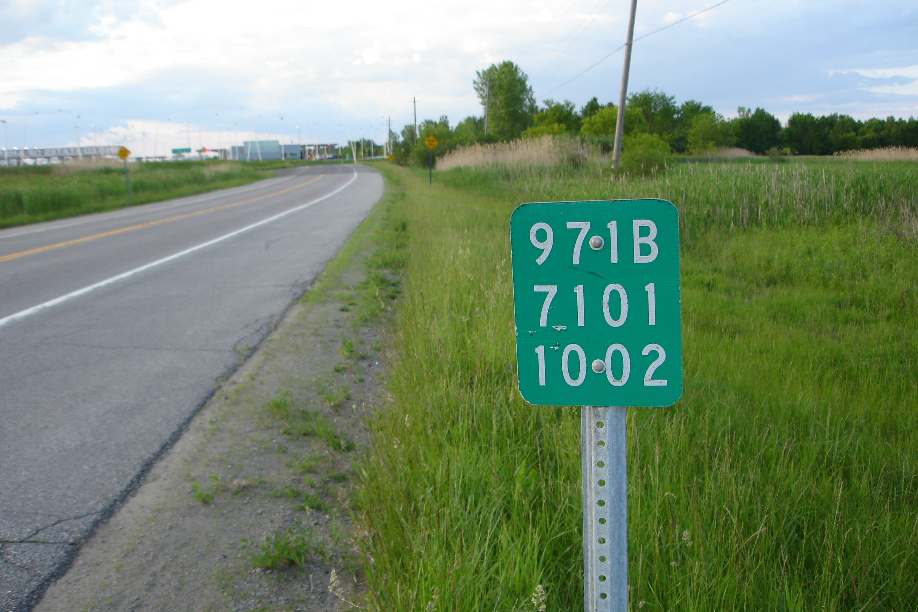
A reference route is an unsigned highway assigned by the New York State Department of Transportation (NYSDOT) to roads that possess a signed name (mainly parkways), that NYSDOT has determined are too minor to have a signed touring route number, or are former touring routes that are still state-maintained. The majority of reference routes are owned by the state of New York and maintained by NYSDOT; however, some exceptions exist. The reference route designations are normally posted on reference markers, small green signs located every tenth-mile on the side of the road, though a few exceptions exist to this practice as well. Reference route numbers are always three digit numbers in the 900s with a single alphabetic suffix. The designations are largely assigned in numerical and alphabetical order within a region, and designations are not reused once they are removed. Certain letters are avoided, such as "I" (used to indicate Interstate Highways and potential confusion with the numb ... [...More Info...] [...Related Items...] OR: [Wikipedia] [Google] [Baidu] |
At-grade Intersection
An intersection or an at-grade junction is a junction where two or more roads converge, diverge, meet or cross at the same height, as opposed to an interchange, which uses bridges or tunnels to separate different roads. Major intersections are often delineated by gores and may be classified by road segments, traffic controls and lane design. Types Road segments One way to classify intersections is by the number of road segments (arms) that are involved. * A three-way intersection is a junction between three road segments (arms): a T junction when two arms form one road, or a Y junction, the latter also known as a fork if approached from the stem of the Y. * A four-way intersection, or crossroads, usually involves a crossing over of two streets or roads. In areas where there are blocks and in some other cases, the crossing streets or roads are perpendicular to each other. However, two roads may cross at a different angle. In a few cases, the junction of two road segments ... [...More Info...] [...Related Items...] OR: [Wikipedia] [Google] [Baidu] |
Controlled-access Highway
A controlled-access highway is a type of highway that has been designed for high-speed vehicular traffic, with all traffic flow—ingress and egress—regulated. Common English terms are freeway, motorway and expressway. Other similar terms include ''throughway'' and '' parkway''. Some of these may be limited-access highways, although this term can also refer to a class of highways with somewhat less isolation from other traffic. In countries following the Vienna convention, the motorway qualification implies that walking and parking are forbidden. A fully controlled-access highway provides an unhindered flow of traffic, with no traffic signals, intersections or property access. They are free of any at-grade crossings with other roads, railways, or pedestrian paths, which are instead carried by overpasses and underpasses. Entrances and exits to the highway are provided at interchanges by slip roads (ramps), which allow for speed changes between the highway and arterials ... [...More Info...] [...Related Items...] OR: [Wikipedia] [Google] [Baidu] |
Limited-access Highway
A limited-access road, known by various terms worldwide, including limited-access highway, dual-carriageway, expressway, limited access freeway, and partial controlled access highway, is a highway or arterial road for high-speed traffic which has many or most characteristics of a controlled-access highway (also known as a ''freeway'' or ''motorway''), including limited or no access to adjacent property, some degree of separation of opposing traffic flow, use of grade separated interchanges to some extent, prohibition of slow modes of transport, such as bicycles, (draught) horses, or self-propelled agricultural machines; and very few or no intersecting cross-streets or level crossings. The degree of isolation from local traffic allowed varies between countries and regions. The precise definition of these terms varies by jurisdiction.'' Manual on Uniform Traffic Control Devices''Section 1A.13 Definitions of Words and Phrases in This Manual "Expressway—a divided highway with ... [...More Info...] [...Related Items...] OR: [Wikipedia] [Google] [Baidu] |
New York State Thruway
{{Infobox road , state = NY , type = NYST , alternate_name = Governor Thomas E. Dewey Thruway , maint = NYSTA , map = {{maplink, frame=yes, plain=yes, frame-align=center, frame-width=290, type=line, stroke-width=2, type2=line, from2=New York State Thruway Spur Routes.map , map_custom = yes , map_notes = Map of New York with the Thruway mainline in red; other components of the Thruway system are in blue , length_mi = 496.00 , length_ref = , length_notes = Mainline only , established = {{Start date, June 24, 1954 , restrictions = No explosives (including in cargo) between exits 9 and 11 No commercial vehicles allowed on the Garden State Parkway Connector , allocation = {{plainlist, 1= * {{jct, state=NY, I-Toll, 87 between The Bronx and Albany * {{jct, state=NY, I-Toll, 287 between Elmsford and Suffern * {{jct, state=NY, I-Toll, 90 between Albany and Ripley and the Berkshire Connector * {{jct, state=NY, I-Toll, 95 on the New England Thruway , direction_a = South ... [...More Info...] [...Related Items...] OR: [Wikipedia] [Google] [Baidu] |
Tappan Zee Bridge (2017–present)
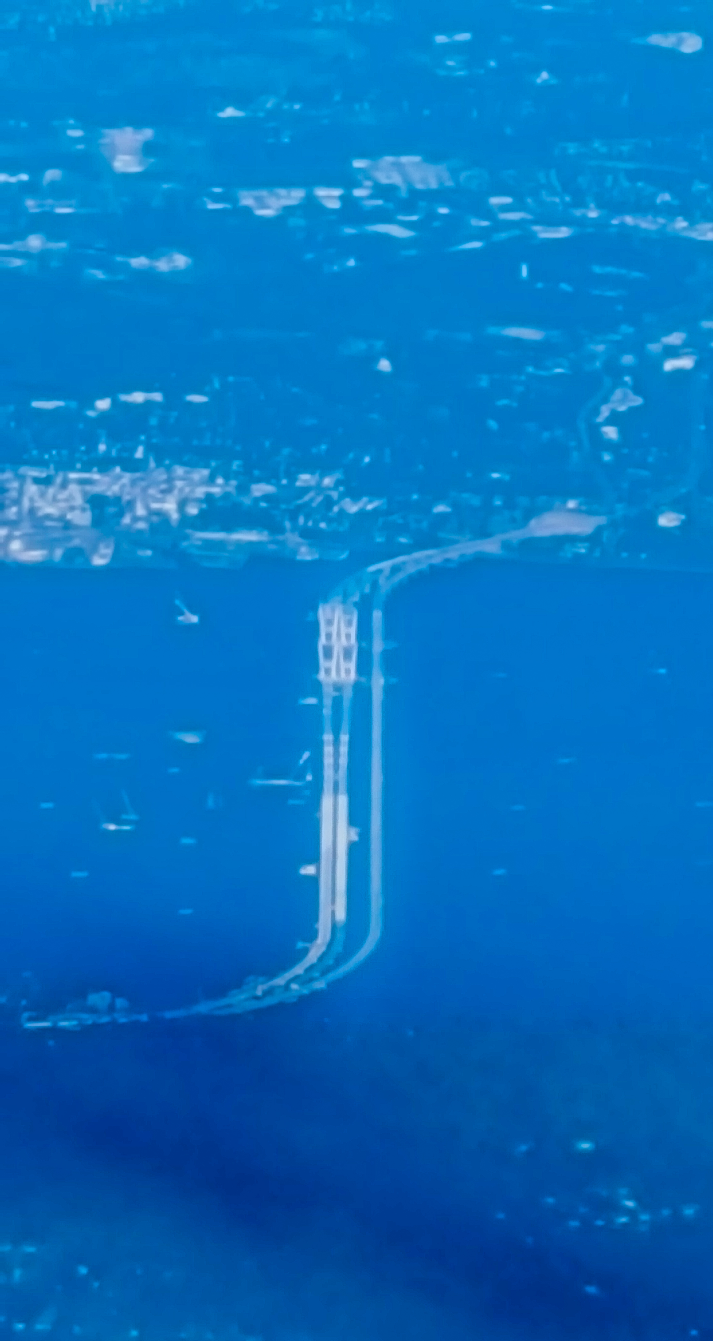
The Tappan Zee Bridge, officially named the Governor Mario M. Cuomo Bridge, is a twin cable-stayed bridge spanning the Hudson River between Tarrytown and Nyack in the U.S. state of New York. It was built to replace the original Tappan Zee Bridge, which was located just to the south. The new bridge's north span carries the northbound and westbound automobile traffic of the New York State Thruway, Interstate 87 (I-87) and I-287; it also carries a shared use path for bicycles and pedestrians. The south span carries southbound and eastbound automobile traffic. The process to replace the original bridge kicked off in 2012, with construction on the new spans beginning by contractor Tappan Zee Constructors in 2013. The ''Left Coast Lifter'' (one of the world's biggest cranes) was instrumental in the construction of the bridge. The north span officially opened to westbound traffic on August 26, 2017, and eastbound traffic temporarily began using the north span on October 6, 20 ... [...More Info...] [...Related Items...] OR: [Wikipedia] [Google] [Baidu] |


