|
Sathanur, Perambalur
Sathanur is a village in Alathur Taluk, Perambalur District, Tamilnadu India. It is home to the National Fossil Wood Park, Sathanur.. Fossil tree was formed 12million years ago. It has been declared national geological monument by the Geological survey of India. 1000 years old lake is there it was constructed by The great Chozha emperor & Hundreds of years old Lord Siva & Perumal temple there. 15 small lakes now presented here. Panchayat union president: Mr.kulanthaivelu Population The population in Sathanur village was 1,749, consisting of 875 males and 874 females, according to the census of 2011 by Indian Government. There were 173 children under the age of six, 93 male and 80 female. There were 495 households in Sathanur at that time. The number of members of Scheduled Castes The Scheduled Castes (SCs) and Scheduled Tribes (STs) are officially designated groups of people and among the most disadvantaged socio-economic groups in India. The terms are recognized in ... [...More Info...] [...Related Items...] OR: [Wikipedia] [Google] [Baidu] |
India
India, officially the Republic of India (Hindi: ), is a country in South Asia. It is the seventh-largest country by area, the second-most populous country, and the most populous democracy in the world. Bounded by the Indian Ocean on the south, the Arabian Sea on the southwest, and the Bay of Bengal on the southeast, it shares land borders with Pakistan to the west; China, Nepal, and Bhutan to the north; and Bangladesh and Myanmar to the east. In the Indian Ocean, India is in the vicinity of Sri Lanka and the Maldives; its Andaman and Nicobar Islands share a maritime border with Thailand, Myanmar, and Indonesia. Modern humans arrived on the Indian subcontinent from Africa no later than 55,000 years ago., "Y-Chromosome and Mt-DNA data support the colonization of South Asia by modern humans originating in Africa. ... Coalescence dates for most non-European populations average to between 73–55 ka.", "Modern human beings—''Homo sapiens''—originated in Africa. Then, int ... [...More Info...] [...Related Items...] OR: [Wikipedia] [Google] [Baidu] |
Tamil Nadu
Tamil Nadu (; , TN) is a States and union territories of India, state in southern India. It is the List of states and union territories of India by area, tenth largest Indian state by area and the List of states and union territories of India by population, sixth largest by population. Its capital and largest city is Chennai. Tamil Nadu is the home of the Tamil people, whose Tamil language—one of the longest surviving Classical languages of India, classical languages in the world—is widely spoken in the state and serves as its official language. The state lies in the southernmost part of the Indian peninsula, and is bordered by the Indian union territory of Puducherry (union territory), Puducherry and the states of Kerala, Karnataka, and Andhra Pradesh, as well as an international maritime border with Sri Lanka. It is bounded by the Western Ghats in the west, the Eastern Ghats in the north, the Bay of Bengal in the east, the Gulf of Mannar and Palk Strait to the south-eas ... [...More Info...] [...Related Items...] OR: [Wikipedia] [Google] [Baidu] |
Chola Nadu
Chola Nadu is a cultural region of the Tamil Nadu state in southern India. It encompasses the lower reaches of the Kaveri River and its delta, and formed the cultural homeland and political base of the Chola Dynasty which ruled large parts of South India and parts of Sri Lanka between the 9th and 13th centuries CE. Uraiyur (now part of Tiruchirapalli city) served as the early Chola capital, then medieval Cholas shifted to Thanjavur and later cholas king Rajendra Chola I moved the capital to Gangaikonda Cholapuram in Ariyalur in the 11th century CE. The boundaries of the region roughly correlates with those of the British India districts of Tanjore District (Madras Presidency), Tanjore and Trichinopoly District (Madras Presidency), Trichinopoly. Culturally, the region also includes Pudukkottai District, Tanjavur district, Nagapattinam district, Thiruvarur District, Thiruvarur district, Mayiladuthurai district, Mayiladudhurai district, Ariyalur District, Perambalur District , Tiru ... [...More Info...] [...Related Items...] OR: [Wikipedia] [Google] [Baidu] |
Perambalur
Perambalur is a town in the Indian state of Tamil Nadu. It is the headquarters of Perambalur district and Perambalur ''taluk'' (sub-district). census, the town had a population of 49,648. There are a set of 11th century Buddha statues around the villages of Perambalur called Perambalur Buddhas. Geography It is the largest town and administrative headquarters of Perambalur district, as well as Perambalur Taluk (Sub-District). The town covers an area of 20.59 sq.km. Though a landlocked district, fossils of marine species dated 416 million years ago were found near the Kunnam taluk of the district, revealing the fact that the land was part of the ancient sea. Demographics According to 2011 census, Perambalur had a population of 49,648 with a sex-ratio of 1,013 females for every 1,000 males, much above the national average of 929. A total of 5,190 were under the age of six, constituting 2,678 males and 2,512 females. Scheduled Castes and Scheduled Tribes accounted for 29 ... [...More Info...] [...Related Items...] OR: [Wikipedia] [Google] [Baidu] |
Alathur
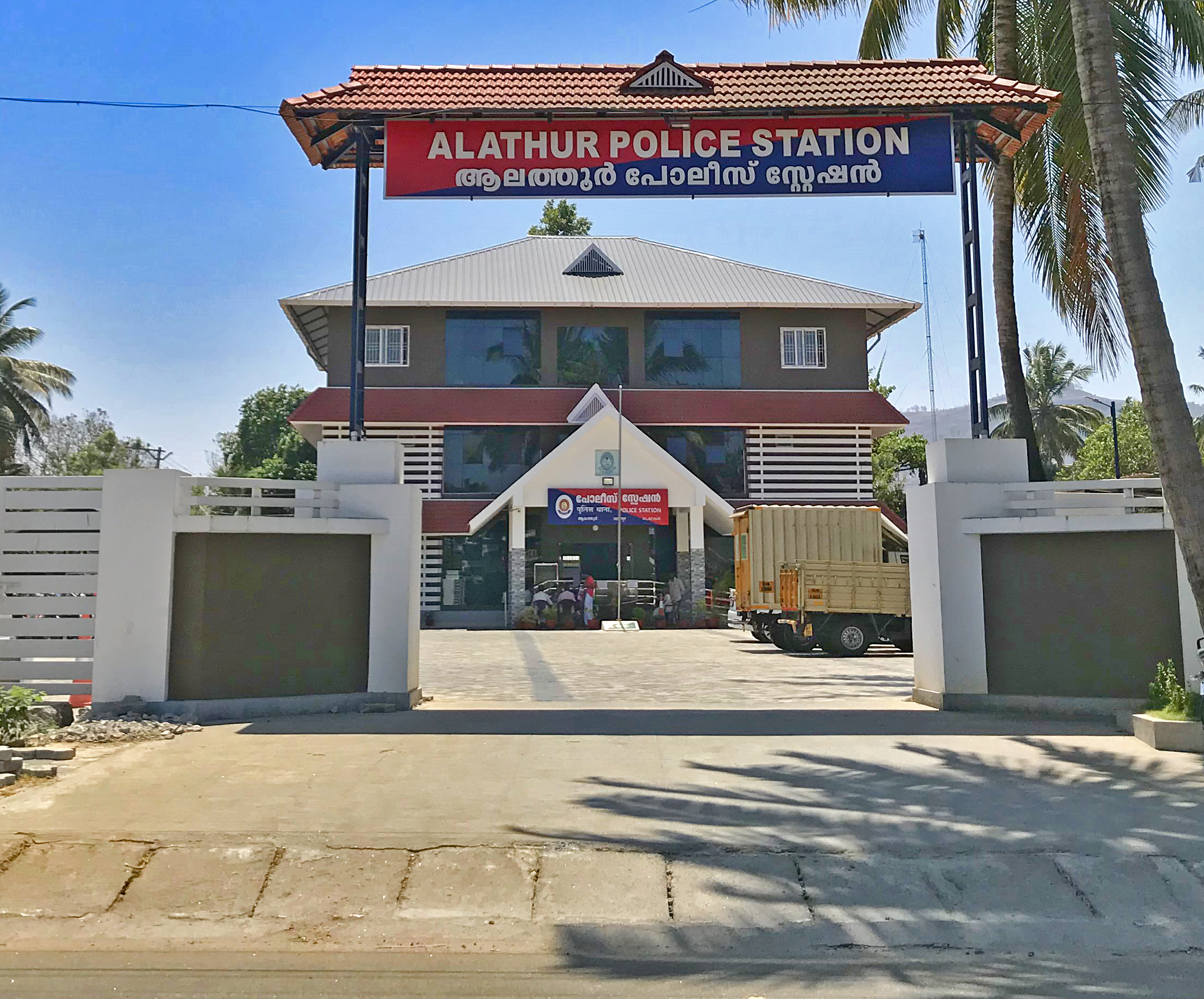
Alathur is a town, taluk and gram panchayat in Palakkad District, Kerala, India. It is the administrative headquarters of the Alathur Taluk and is situated about 24 km from the district headquarters Palakkad through National Highway 544.Gayathripuzha River ,one of the tributary of Bharathapuzha,flows through Alathur. Alathur is one among the 29 Parliamentary Constituencies in Kerala.It is also famous for its tasty chips made from SNR chips,a bakery located in the town itself.A Mini Civil Station is also located here which provides government related services. Economy The main occupation in this area is agriculture. Rubber is grown on hilly land and rice paddies are located on the plains. Coconut, Ginger, banana, pumpkin, bitter gourd and eggplant are also grown. There is very little industry in Alathur Taluk. Alathur town was once well known for its beedi cottage industry but production has declined due to anti-smoking efforts. Agarbatti is also produced by the cott ... [...More Info...] [...Related Items...] OR: [Wikipedia] [Google] [Baidu] |
Indian Standard Time
Indian Standard Time (IST), sometimes also called India Standard Time, is the time zone observed throughout India, with a time offset of UTC+05:30. India does not observe daylight saving time or other seasonal adjustments. In military and aviation time, IST is designated E* ("Echo-Star"). It is indicated as Asia/Kolkata in the IANA time zone database. History After Independence in 1947, the Union government established IST as the official time for the whole country, although Kolkata and Mumbai retained their own local time (known as Calcutta Time and Bombay Time) until 1948 and 1955, respectively. The Central observatory was moved from Chennai to a location at Shankargarh Fort in Allahabad district, so that it would be as close to UTC+05:30 as possible. Daylight Saving Time (DST) was used briefly during the China–India War of 1962 and the Indo-Pakistani Wars of 1965 and 1971. Calculation Indian Standard Time is calculated from the clock tower in Mirzapur nearly exa ... [...More Info...] [...Related Items...] OR: [Wikipedia] [Google] [Baidu] |
Postal Index Number
A Postal Index Number (PIN; sometimes redundantly a PIN code) refers to a six-digit code in the Indian postal code system used by India Post. On 15 August 2022, the PIN system celebrated its 50th anniversary. History The PIN system was introduced on 15 August 1972 by Shriram Bhikaji Velankar, an additional secretary in the Government of India's Ministry of Communications. The system was introduced to simplify the manual sorting and delivery of mail by eliminating confusion over incorrect addresses, similar place names, and different languages used by the public. PIN structure The first digit of a PIN indicates the zone, the second indicates the sub-zone, and the third, combined with the first two, indicates the sorting district within that zone. The final three digits are assigned to individual post offices within the sorting district. Postal zones There are nine postal zones in India, including eight regional zones and one functional zone (for the Indian Army). The f ... [...More Info...] [...Related Items...] OR: [Wikipedia] [Google] [Baidu] |
Alathur Taluk, Perambalur
Alathur taluk is a taluk in Perambalur district in the Indian state of Tamil Nadu. It was created by former chief minister J.Jayalalithaa for issues of population increase. Kunnam taluk was bifurcated to form this new taluk. Villages There are 39 villages in Alathur taluk excluding the headquarters Alathur Alathur is a town, taluk and gram panchayat in Palakkad District, Kerala, India. It is the administrative headquarters of the Alathur Taluk and is situated about 24 km from the district headquarters Palakkad through National Highway 544.Ga .... References Perambalur district Taluks of Perambalur district {{Perambalur-geo-stub ... [...More Info...] [...Related Items...] OR: [Wikipedia] [Google] [Baidu] |
Perambalur District
Perambalur is one of the 38 districts (an administrative district) in the state of Tamil Nadu, India. The district headquarters is located at Perambalur. The district occupies an area of 1,752 km² and had a population of 565,223 with a sex-ratio of 1,003 females for every 1,000 males in 2011. Perambalur district is a centrally located inland district of Tamil Nadu. It was trifurcated from the erstwhile composite Tiruchirappalli district and was formed on 1 January 1995. The district is bounded by the following districts Kallakkuruchi in the North, Cuddalore in Northeast, Ariyalur in East, Tiruchirappalli in West and South and Salem in Northwest. Geography The district lies in the southern plateau and hill zone of agro-climate regional planning with characteristics of semi-arid climate and the world class black granite in Pachai Malai hills. The soil is predominantly red loamy and black soil. The normal rainfall of the district is 908 mm which is less than 946.9&n ... [...More Info...] [...Related Items...] OR: [Wikipedia] [Google] [Baidu] |
List Of National Geological Monuments In India
National Geological Monuments are geographical areas of national importance and heritage, as notified by the Government of India's Geological Survey of India (GSI), for their maintenance, protection, promotion and enhancement of geotourism.national geo-heritage of India List of National Geological Monuments There are 34 notified National Geological Heritage Monument Sites of India. GSI or the respective State governments are responsible for taking necessary measures to protect these sites. Geo-tourism sites in ...
|
Geological Survey Of India
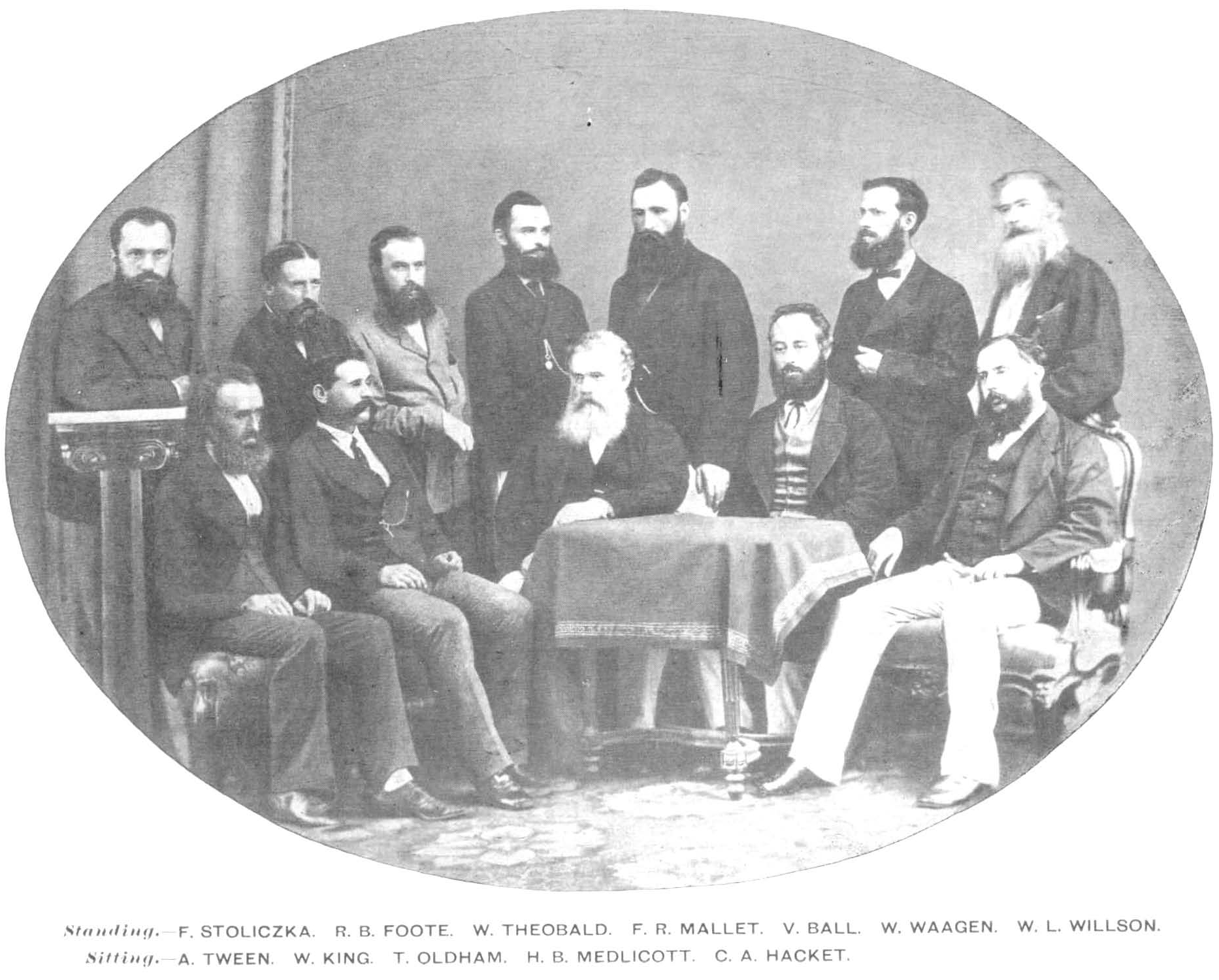
The Geological Survey of India (GSI) is a scientific agency of India. It was founded in 1851, as a Government of India organization under the Ministry of Mines, one of the oldest of such organisations in the world and the second oldest survey in India after Survey of India (founded in 1767), for conducting geological surveys and studies of India, and also as the prime provider of basic earth science information to government, industry and general public, as well as the official participant in steel, coal, metals, cement, power industries and international geoscientific forums. History Formed in 1851 by East India Company, the organization's roots can be traced to 1836 when the "Coal Committee", followed by more such committees, was formed to study and explore the availability of coal in the eastern parts of India. David Hiram Williams, one of the first surveyors for the British Geological Survey, was appointed 'Surveyor of coal districts and superintendent of coal works, Be ... [...More Info...] [...Related Items...] OR: [Wikipedia] [Google] [Baidu] |


