|
San Jacinto, California
San Jacinto ( ; ; Spanish for " St. Hyacinth") is a city in Riverside County, California. It is located at the north end of the San Jacinto Valley, with Hemet to its south and Beaumont, California, to its north. The mountains associated with the valley are the San Jacinto Mountains. The population was 44,199 at the 2010 census. The city was founded in 1870 and incorporated on April 20, 1888, making it one of the oldest cities in Riverside County. The city is home to Mt. San Jacinto College, a community college founded in 1965. San Jacinto will also be home to the eastern end of the Mid County Parkway, a planned route that would eventually connect it to the city of Perris. In the late 19th century and early 20th century, the city became a home to many dairies, and a center for agriculture. San Jacinto also is home to the Soboba Casino, a gaming casino owned and operated by the Soboba Band of Luiseño Indians. The Sobobas are sovereign and self-sufficient in community affairs. Th ... [...More Info...] [...Related Items...] OR: [Wikipedia] [Google] [Baidu] |
List Of Municipalities In California
California is a U.S. state, state located in the Western United States. It is the List of U.S. states and territories by population, most populous state and the List of U.S. states and territories by area, third largest by area after Alaska and Texas. According to the 2020 United States Census, California has 39,538,223 inhabitants and of land. California has been inhabited by numerous Indigenous peoples of California, Native American peoples since antiquity. The Spanish colonization of the Americas, Spanish, the Russian colonization of the Americas, Russians, and other Europeans began exploring and colonizing the area in the 16th and 17th centuries, with the Spanish establishing its first California Spanish missions in California, mission at what is now Presidio of San Diego, San Diego in 1769. After the Mexican Cession of 1848, the California Gold Rush brought worldwide attention to the area. The growth of the Cinema of the United States, movie industry in Los Angeles, high te ... [...More Info...] [...Related Items...] OR: [Wikipedia] [Google] [Baidu] |
Luiseño Language
The Luiseño language is a Uto-Aztecan language of California spoken by the Luiseño, a Native American people who at the time of first contact with the Spanish in the 16th century inhabited the coastal area of southern California, ranging from the southern part of Los Angeles County, California, to the northern part of San Diego County, California, and inland . The people are called "Luiseño", owing to their proximity to the Mission San Luis Rey de Francia. The language is highly endangered, but an active language revitalization project is underway, assisted by linguists from the University of California, Riverside. The Pechanga Band of Luiseño Indians offers classes for children, and in 2013, "the tribe ... began funding a graduate-level Cal State San Bernardino Luiseño class, one of the few for-credit university indigenous-language courses in the country." In 2012, a Luiseño video game for the Nintendo DS was being used to teach the language to young people. Juaneño, t ... [...More Info...] [...Related Items...] OR: [Wikipedia] [Google] [Baidu] |
Luiseño People
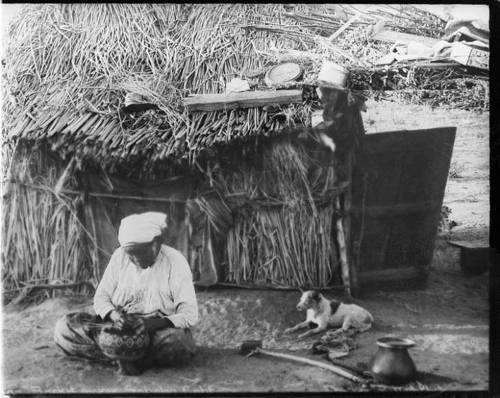
The Luiseño or Payómkawichum are an indigenous people of California who, at the time of the first contacts with the Spanish in the 16th century, inhabited the coastal area of southern California, ranging from the present-day southern part of Los Angeles County to the northern part of San Diego County, and inland . In the Luiseño language, the people call themselves ''Payómkawichum'' (also spelled ''Payómkowishum''), meaning "People of the West." After the establishment of Mission San Luis Rey de Francia (The Mission of Saint Louis King of France), "the Payómkawichum began to be called San Luiseños, and later, just Luiseños by Spanish missionaries due to their proximity to this San Luis Rey mission. Today there are six federally recognized tribes of Luiseño bands based in southern California, all with reservations. Another organized band is not federally recognized. History Pre-colonization The Payómkawichum were successful in utilizing a number of natural resour ... [...More Info...] [...Related Items...] OR: [Wikipedia] [Google] [Baidu] |
José Antonio Estudillo
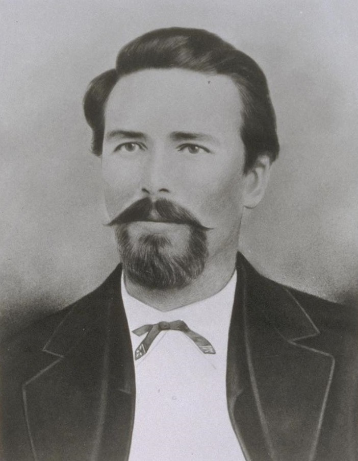
José Antonio Estudillo (November 5, 1803 – July 20, 1852) was a Californio ranchero, politician, and soldier, who served as Alcalde of San Diego and as San Diego County Assessor. He was a member of the Estudillo family of California, a prominent Californio family of San Diego. Life José Antonio Estudillo was born in 1803 in Monterey, then part of New Spain, to Captain José María Estudillo. José Antonio Estudillo probably came to San Diego as a boy in 1820, when his father became commandant of the Presidio of San Diego. His brother José Joaquín was the second '' alcalde'' of Yerba Buena, the ''pueblo'' that later became San Francisco. Estudillo joined the Spanish Army at the Presidio and eventually made lieutenant around 1824. He received the Rancho Janal Mexican land grant in 1829 and Rancho San Jacinto Viejo in 1842. He was a member of the assembly from 1833 to 1835. By the time he reached adulthood, settlement around the fort (presidio) that his father had com ... [...More Info...] [...Related Items...] OR: [Wikipedia] [Google] [Baidu] |
Perris, California
Perris is an old railway city in Riverside County, California, United States, located east-southeast of Los Angeles and north of San Diego. It is known for Lake Perris, an artificial lake, skydiving, and its sunny dry climate. Perris is within the Inland Empire metropolitan area of Southern California. Perris had a population of 78,700 as of the 2020 census. History The coming of the California Southern Railroad led to the founding of the city around the new depot, on the rail connection between the present-day cities of Barstow and San Diego. The Perris Depot is included in the Library of Congress’ Historic American Buildings Survey. Due to a land title dispute at Pinacate, most of its citizens moved two miles north on the railroad and established Perris in 1885. The city is named in honor of Fred T. Perris, chief engineer of the California Southern Railroad.The city of Perris was incorporated in 1911. It originally was within San Diego County but, in 1892, it was tr ... [...More Info...] [...Related Items...] OR: [Wikipedia] [Google] [Baidu] |
Mid County Parkway
The Mid County Parkway is a proposed highway in Riverside County, California, United States which would link San Jacinto in the east and Perris in the west in response to high levels on congestion on existing routes. The corridor was identified by the Riverside County Integrated Project. Construction is set to begin in 2020. Route description The corridor is planned to begin at SR 79 in San Jacinto and follow or replace Ramona Expressway up to Lake Perris, where Ramona Expressway branches northwest, from where it will continue west. Options include a route west to Interstate 215, connecting to the interstate at Placentia Avenue, or turning north and connecting with Interstate 215 near Cajalco Expressway and Ramona Expressway. The project originally consisted of a longer highway from San Jacinto through Perris, then replacing or following Cajalco Road to its interchange with Interstate 15 in Corona Corona (from the Latin for 'crown') most commonly refers to: * Stellar c ... [...More Info...] [...Related Items...] OR: [Wikipedia] [Google] [Baidu] |
San Jacinto Mountains
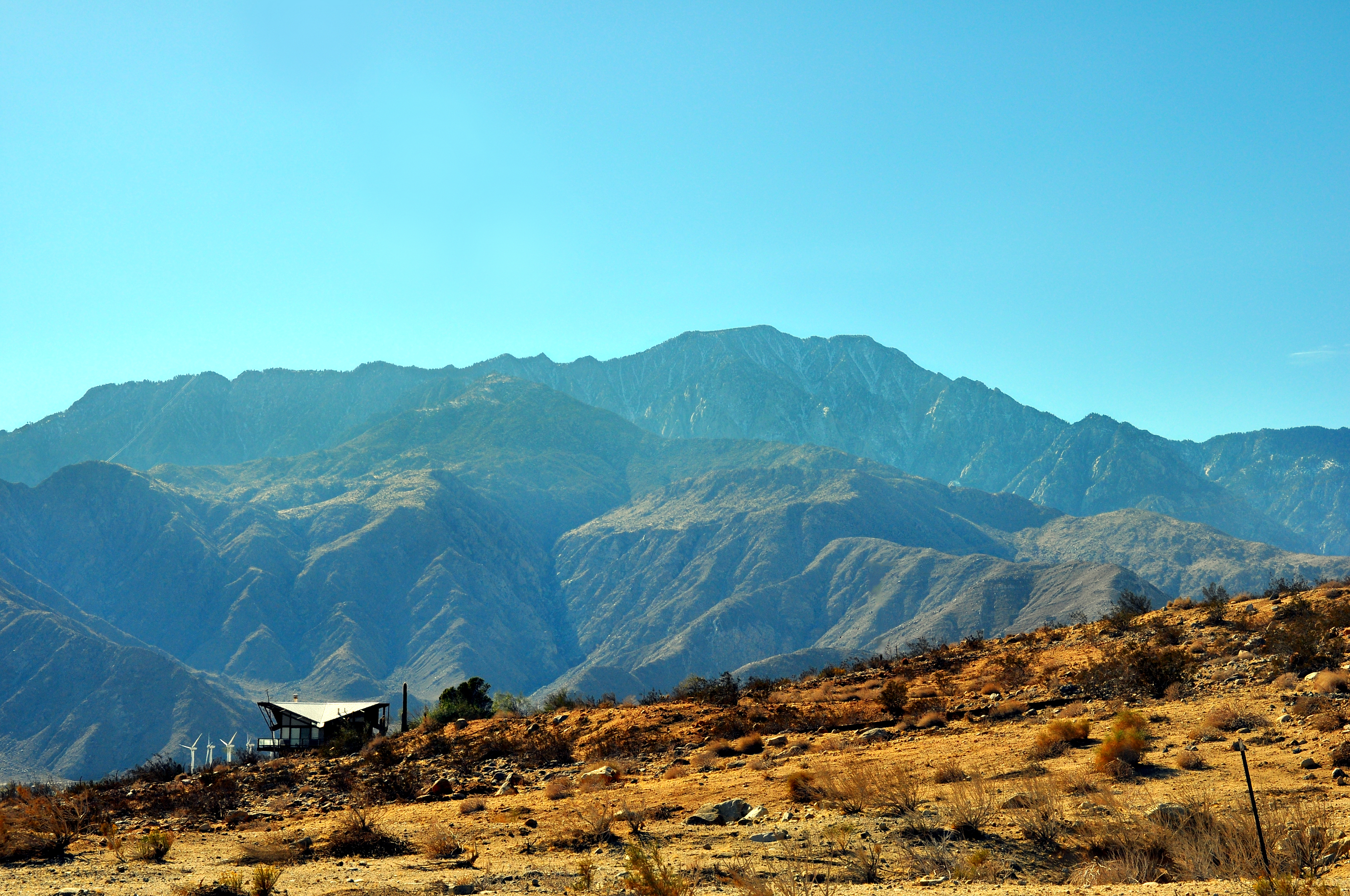
The San Jacinto Mountains (''Avii Hanupach''Munro, P., et al. ''A Mojave Dictionary''. Los Angeles: UCLA. 1992. in Mojave) are a mountain range in Riverside County, located east of Los Angeles in southern California in the United States. The mountains are named for one of the first Black Friars, Saint Hyacinth (San Jacinto in Spanish), who is a popular patron in Latin America. Geography The range extends for approximately from the San Bernardino Mountains southeast to the Santa Rosa Mountains. The San Jacinto Mountains are the northernmost of the Peninsular Ranges, which run from Southern California to the southern tip of the Baja California Peninsula. The highest peak in the range is San Jacinto Peak (3,302 m; 10,834 ft), and the range is also a Great Basin Divide landform for the Salton Watershed to the east. The Coachella Valley stretches along the eastern side of the range, including the cities of Palm Springs and Rancho Mirage. San Gorgonio Pass separates th ... [...More Info...] [...Related Items...] OR: [Wikipedia] [Google] [Baidu] |
Beaumont, California
Beaumont is a city in Riverside County, California, United States, located at the summit of the San Gorgonio Pass, between the San Bernardino Mountains and Mount San Gorgonio to the north, and the San Jacinto Mountains and San Jacinto Peak to the south. Early native American inhabitants included the Serrano and Cahuilla people, who still live on reservation lands in the area. Beaumont is bordered on the east by the city of Banning, on the south by the city of San Jacinto, on the west by the city of Calimesa, and on the north by the unincorporated community of Cherry Valley. History Etymology Beaumont, French for "Beautiful Mountain", received its name in 1887 from Henry C. Sigler, president of the Southern California Investment Company, for its view of Mount San Jacinto. Early History During the early 1850s, several surveying parties passed through the vicinity of present-day Beaumont in search of a pass that would connect the east to the Pacific Ocean. The San Gorgo ... [...More Info...] [...Related Items...] OR: [Wikipedia] [Google] [Baidu] |
Hemet, California
Hemet is a city in the San Jacinto Valley in Riverside County, California. It covers a total area of , about half of the valley, which it shares with the neighboring city of San Jacinto. The population was 89,833 at the 2020 census. The founding of Hemet, initially called South San Jacinto, predates the formation of Riverside County. This area was then still part of San Diego County. The formation of Lake Hemet helped the city to grow and stimulated agriculture in the area. The city is known for being the home of ''The Ramona Pageant'', California's official outdoor play set in the Spanish colonial era. Started in 1923, the play is one of the longest-running outdoor plays in the United States. Hemet has been named a Tree City USA for 20 years by the Arbor Day Foundation for its dedication to the local forest. The city is home to the Hemet Valley Medical Center, a 320-bed general hospital. History This had long been the territory of the indigenous Soboba people and Cahuill ... [...More Info...] [...Related Items...] OR: [Wikipedia] [Google] [Baidu] |
San Jacinto Valley
The San Jacinto Valley is a valley located in Riverside County, California, Riverside County, in Southern California, in the Inland Empire. The valley is located at the base of the San Jacinto Mountains in the east and Santa Rosa Hills (Riverside County), Santa Rosa Hills to the south with the San Gorgonio Pass to the north. The average elevation is , with the highest points in the foothills south of Hemet and the western slopes of the San Jacinto Mountains. It is home to two cities, Hemet, California, Hemet and San Jacinto, California, San Jacinto, and several unincorporated communities. According to the 2020 United States Census, 2020 census, the valley has a combined population of over 190,000 residents, including more than 143,000 residents within the city limits of Hemet and San Jacinto. The valley is also where the story and play "Ramona" was set; the story was written after author Helen Hunt Jackson visited the valley in the 1880s. The valley is also known for being an area ... [...More Info...] [...Related Items...] OR: [Wikipedia] [Google] [Baidu] |
Spanish Language
Spanish ( or , Castilian) is a Romance languages, Romance language of the Indo-European language family that evolved from colloquial Latin spoken on the Iberian peninsula. Today, it is a world language, global language with more than 500 million native speakers, mainly in the Americas and Spain. Spanish is the official language of List of countries where Spanish is an official language, 20 countries. It is the world's list of languages by number of native speakers, second-most spoken native language after Mandarin Chinese; the world's list of languages by total number of speakers, fourth-most spoken language overall after English language, English, Mandarin Chinese, and Hindustani language, Hindustani (Hindi-Urdu); and the world's most widely spoken Romance languages, Romance language. The largest population of native speakers is in Mexico. Spanish is part of the Iberian Romance languages, Ibero-Romance group of languages, which evolved from several dialects of Vulgar Latin in I ... [...More Info...] [...Related Items...] OR: [Wikipedia] [Google] [Baidu] |


.jpg)


.jpg)
