|
Salgir
The Salhyr or Salgir (Cyrillic: Салгир; ) is the longest river of the Crimean Peninsula. Its length is 204 km, and its drainage basin is 3,750 km². The average discharge of the water is 2 m³/s. UKRTravel. Accessed April 17, 2012. It is formed in the mountains southeast of , passes that town and flows north and increasingly east to reach the of the |
Simferopol
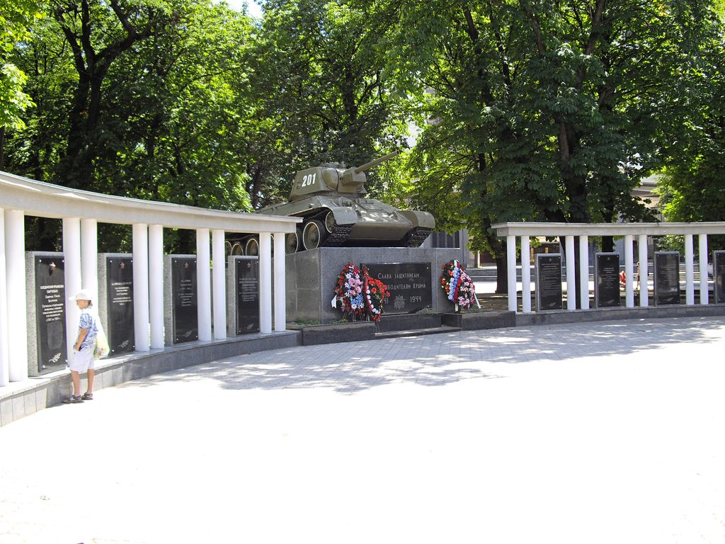
Simferopol () is the second-largest city in the Crimea, Crimean Peninsula. The city, along with the rest of Crimea, is internationally recognised as part of Ukraine, and is considered the capital of the Autonomous Republic of Crimea. However, it is under the ''de facto'' control of Russia, which Annexation of Crimea by the Russian Federation, annexed Crimea in 2014 and regards Simferopol as the capital of the Republic of Crimea. Simferopol is an important political, economic and transport hub of the peninsula, and serves as the administrative centre of both Simferopol Municipality and the surrounding Simferopol District. After the 1784 Annexation of Crimea by the Russian Empire, annexation of the Crimean Khanate by the Russian Empire, the Russian empress decreed the foundation of the city with the name Simferopol on the location of the Crimean Tatars, Crimean Tatar town of Aqmescit ("White Mosque"). The population was Etymologies The name Simferopol ( uk, Сімферо́ ... [...More Info...] [...Related Items...] OR: [Wikipedia] [Google] [Baidu] |
Syvash
The Syvash or Sivash (Russian and Ukrainian: ; , Cyrillic: Сываш, "dirt"), also known as the or (, ''Gniloye More''; , ''Hnyle More''; , Cyrillic: Чюрюк Денъиз), is a large area of shallow lagoons on the west coast of the Sea of Azov. Separated from the sea by the narrow Arabat Spit, the water of the Syvash covers an area of around and the entire area spreads over about . The Henichesk Strait is its eastern connection to the Sea of Azov. The Syvash borders the northeastern coast of the main Crimean Peninsula. Central and Eastern Syvash were registered as wetlands of Ukraine under the Ramsar Convention; however, after the 2014 Russian annexation of Crimea they became subject to a territorial dispute. Since the 2022 Russian invasion of Ukraine, the entire Syvash has been occupied by Russia. Overview The Syvash nearly cuts the Crimean Peninsula off from the mainland, serving as a natural border for its autonomous republic. The long () and narrow () Arabat Spit r ... [...More Info...] [...Related Items...] OR: [Wikipedia] [Google] [Baidu] |
Chatyrdag
Chatyr-Dag ( crh, Çatır Dağ, uk, Чатир-Даг, russian: Чатыр-Даг) is a mountainous massif in Crimea, near the Simferopol- Alushta highway. In the Crimean Tatar language ''çatır'' means tent and ''dağ'' means mountain. Overview The mountain consists of two plateaus: the lower (north) and the upper (south). The lower plateau slopes gently down to its northern side, which is covered in steppe grass. On its southern end (near the steep slope of the higher plateau), the lower plateau is covered with beech forests and juniper glades. It has many hiking trails and several beautiful caves (listed below). On the east side of the lower plateau there is a grove of yews. The upper plateau has the shape of a giant bowl and on its rim; the highest peaks are each named. The upper plateau is covered with alpine meadows. Its slopes are very steep and offer some routes for multipitch climbing (rock climbing routes longer than length of one climbing rope). The highest peak ... [...More Info...] [...Related Items...] OR: [Wikipedia] [Google] [Baidu] |
Crimea
Crimea, crh, Къырым, Qırım, grc, Κιμμερία / Ταυρική, translit=Kimmería / Taurikḗ ( ) is a peninsula in Ukraine, on the northern coast of the Black Sea, that has been occupied by Russia since 2014. It has a population of 2.4 million. The peninsula is almost entirely surrounded by the Black Sea and the smaller Sea of Azov. The Isthmus of Perekop connects the peninsula to Kherson Oblast in mainland Ukraine. To the east, the Crimean Bridge, constructed in 2018, spans the Strait of Kerch, linking the peninsula with Krasnodar Krai in Russia. The Arabat Spit, located to the northeast, is a narrow strip of land that separates the Sivash lagoons from the Sea of Azov. Across the Black Sea to the west lies Romania and to the south is Turkey. Crimea (called the Tauric Peninsula until the early modern period) has historically been at the boundary between the classical world and the steppe. Greeks colonized its southern fringe and were absorbed by the Ro ... [...More Info...] [...Related Items...] OR: [Wikipedia] [Google] [Baidu] |
Azov Sea
The Sea of Azov ( Crimean Tatar: ''Azaq deñizi''; russian: Азовское море, Azovskoye more; uk, Азовське море, Azovs'ke more) is a sea in Eastern Europe connected to the Black Sea by the narrow (about ) Strait of Kerch, and is sometimes regarded as a northern extension of the Black Sea. The sea is bounded by Russia on the east, by Ukraine on the northwest and southwest. The sea is largely affected by the inflow of the Don, Kuban, and other rivers, which bring sand, silt, and shells, which in turn form numerous bays, limans, and narrow spits. Because of these deposits, the sea bottom is relatively smooth and flat with the depth gradually increasing toward the middle. Also, due to the river inflow, water in the sea has low salinity and a high amount of biomass (such as green algae) that affects the water colour. Abundant plankton result in unusually high fish productivity. The sea shores and spits are low; they are rich in vegetation and bird colonies ... [...More Info...] [...Related Items...] OR: [Wikipedia] [Google] [Baidu] |
Cyrillic
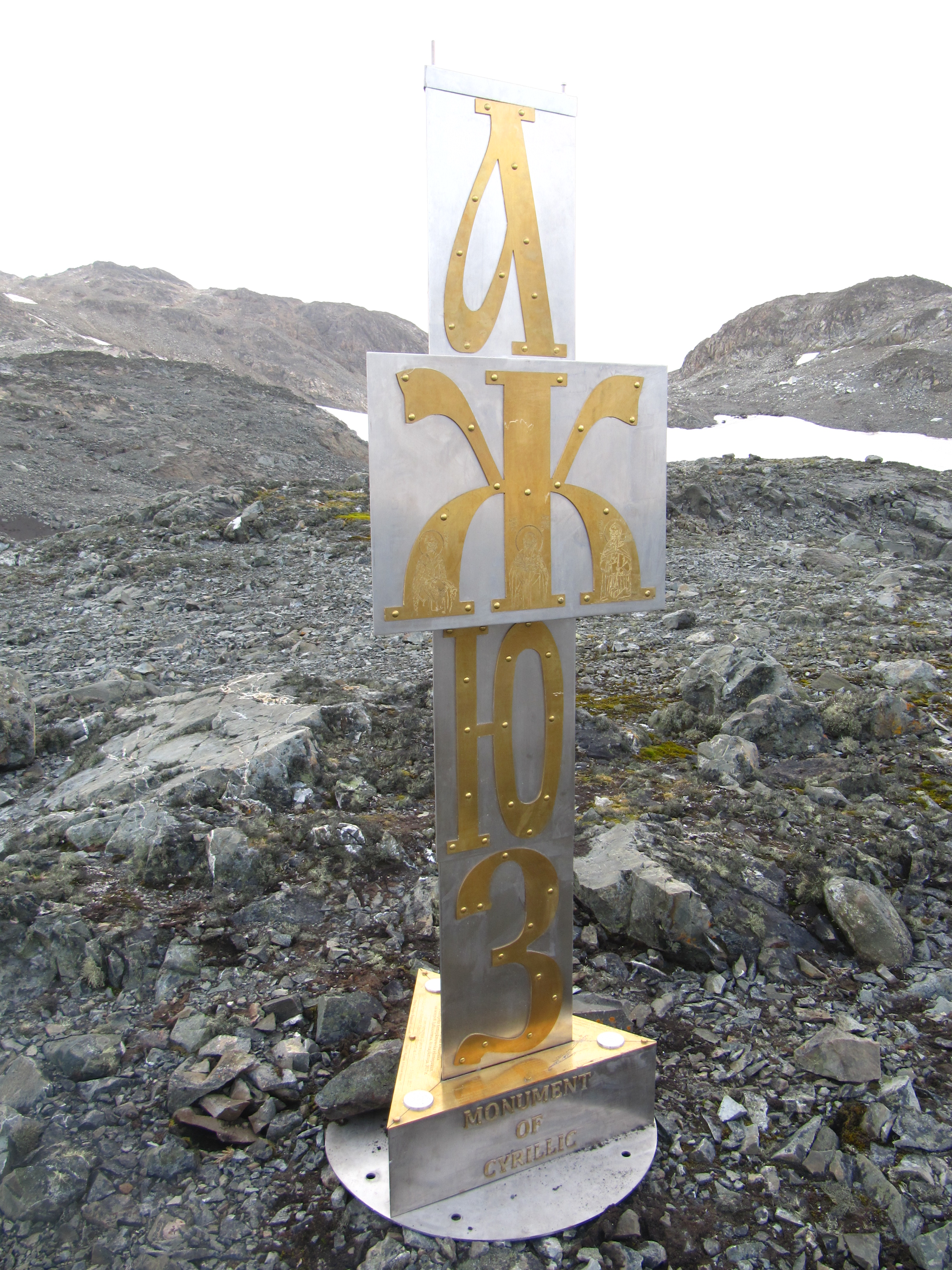
, bg, кирилица , mk, кирилица , russian: кириллица , sr, ћирилица, uk, кирилиця , fam1 = Egyptian hieroglyphs , fam2 = Proto-Sinaitic , fam3 = Phoenician , fam4 = Greek script augmented by Glagolitic , sisters = , children = Old Permic script , unicode = , iso15924 = Cyrl , iso15924 note = Cyrs (Old Church Slavonic variant) , sample = Romanian Traditional Cyrillic - Lord's Prayer text.png , caption = 1780s Romanian text (Lord's Prayer), written with the Cyrillic script The Cyrillic script ( ), Slavonic script or the Slavic script, is a writing system used for various languages across Eurasia. It is the designated national script in various Slavic, Turkic, Mongolic, Uralic, Caucasian and Iranic-speaking countries in Southeastern Europe, Eastern Europe, the Caucasus, Central Asia, North Asia, and East Asia. , around 250 million people in Eurasia use Cyrillic a ... [...More Info...] [...Related Items...] OR: [Wikipedia] [Google] [Baidu] |
Crimean Peninsula
Crimea, crh, Къырым, Qırım, grc, Κιμμερία / Ταυρική, translit=Kimmería / Taurikḗ ( ) is a peninsula in Ukraine, on the northern coast of the Black Sea, that has been occupied by Russia since 2014. It has a population of 2.4 million. The peninsula is almost entirely surrounded by the Black Sea and the smaller Sea of Azov. The Isthmus of Perekop connects the peninsula to Kherson Oblast in mainland Ukraine. To the east, the Crimean Bridge, constructed in 2018, spans the Strait of Kerch, linking the peninsula with Krasnodar Krai in Russia. The Arabat Spit, located to the northeast, is a narrow strip of land that separates the Sivash lagoons from the Sea of Azov. Across the Black Sea to the west lies Romania and to the south is Turkey. Crimea (called the Tauric Peninsula until the early modern period) has historically been at the boundary between the classical world and the steppe. Greeks colonized its southern fringe and were absorbed by the ... [...More Info...] [...Related Items...] OR: [Wikipedia] [Google] [Baidu] |
Chatyr-Dag
Chatyr-Dag ( crh, Çatır Dağ, uk, Чатир-Даг, russian: Чатыр-Даг) is a mountainous massif in Crimea, near the Simferopol-Alushta highway. In the Crimean Tatar language ''çatır'' means tent and ''dağ'' means mountain. Overview The mountain consists of two plateaus: the lower (north) and the upper (south). The lower plateau slopes gently down to its northern side, which is covered in steppe grass. On its southern end (near the steep slope of the higher plateau), the lower plateau is covered with beech forests and juniper glades. It has many hiking trails and several beautiful caves (listed below). On the east side of the lower plateau there is a grove of yews. The upper plateau has the shape of a giant bowl and on its rim; the highest peaks are each named. The upper plateau is covered with alpine meadows. Its slopes are very steep and offer some routes for multipitch climbing (rock climbing routes longer than length of one climbing rope). The highest peak is ... [...More Info...] [...Related Items...] OR: [Wikipedia] [Google] [Baidu] |
North Crimean Canal
The North Crimean Canal ( uk, Північно-Кримський канал, translit=Pivnichno-Krymskyi kanal, russian: Северо-Крымский канал, in the Soviet Union: North Crimean Canal of the Lenin's Komsomol of Ukraine) is a land improvement canal for irrigation and watering of Kherson Oblast in southern Ukraine and the Crimean Peninsula. The canal has multiple branches throughout Kherson Oblast and Crimea. Preparation for construction began in 1957, soon after the transfer of Crimea to the Ukrainian Soviet Socialist Republic in 1954. The main project works took place in three stages between 1961 and 1971. The construction was conducted by the Komsomol members sent by the Komsomol travel ticket (''Komsomolskaya putyovka'') as part of shock construction projects and accounted for some 10,000 volunteer workers. Ukraine shut down the canal in 2014 soon after Russia annexed Crimea. Russia restored the flow of water in March 2022 during the 2022 Russian inv ... [...More Info...] [...Related Items...] OR: [Wikipedia] [Google] [Baidu] |
Tributary
A tributary, or affluent, is a stream or river that flows into a larger stream or main stem (or parent) river or a lake. A tributary does not flow directly into a sea or ocean. Tributaries and the main stem river drain the surrounding drainage basin of its surface water and groundwater, leading the water out into an ocean. The Irtysh is a chief tributary of the Ob river and is also the longest tributary river in the world with a length of . The Madeira River is the largest tributary river by volume in the world with an average discharge of . A confluence, where two or more bodies of water meet, usually refers to the joining of tributaries. The opposite to a tributary is a distributary, a river or stream that branches off from and flows away from the main stream. PhysicalGeography.net, Michael Pidwirny & S ... [...More Info...] [...Related Items...] OR: [Wikipedia] [Google] [Baidu] |
Hydroelectricity
Hydroelectricity, or hydroelectric power, is Electricity generation, electricity generated from hydropower (water power). Hydropower supplies one sixth of the world's electricity, almost 4500 TWh in 2020, which is more than all other Renewable energy, renewable sources combined and also more than nuclear power. Hydropower can provide large amounts of Low-carbon power, low-carbon electricity on demand, making it a key element for creating secure and clean electricity supply systems. A hydroelectric power station that has a dam and reservoir is a flexible source, since the amount of electricity produced can be increased or decreased in seconds or minutes in response to varying electricity demand. Once a hydroelectric complex is constructed, it produces no direct waste, and almost always emits considerably less greenhouse gas than fossil fuel-powered energy plants. [...More Info...] [...Related Items...] OR: [Wikipedia] [Google] [Baidu] |


