|
Sulphur Creek (California)
Sulphur Creek is a tributary of Aliso Creek in Orange County in the U.S. state of California.Durham, p.176 The creek drains about of residential communities and parks in the southern San Joaquin Hills. The Sulphur Creek watershed was once part of the territory of the semi-nomadic Acjachemen Native Americans, who were conquered by Spanish conquistadors in the 17th and 18th centuries and called the ''Juaneño'' after nearby Mission San Juan Capistrano. During the 19th century, the watershed became part of a rancho and was mostly agricultural and range land until the 1960s, when suburban residential development began in the watershed. Sulphur Creek Dam was built in 1966, forming Laguna Niguel Lake. Today, the Sulphur Creek drainage basin includes parts of Laguna Niguel, Laguna Hills, and San Juan Capistrano. The creek also flows through parts of Laguna Niguel Regional Park and Aliso and Wood Canyons Regional Park. Urban runoff has changed the once seasonal creek into a p ... [...More Info...] [...Related Items...] OR: [Wikipedia] [Google] [Baidu] |
United States
The United States of America (U.S.A. or USA), commonly known as the United States (U.S. or US) or America, is a country primarily located in North America. It consists of 50 states, a federal district, five major unincorporated territories, nine Minor Outlying Islands, and 326 Indian reservations. The United States is also in free association with three Pacific Island sovereign states: the Federated States of Micronesia, the Marshall Islands, and the Republic of Palau. It is the world's third-largest country by both land and total area. It shares land borders with Canada to its north and with Mexico to its south and has maritime borders with the Bahamas, Cuba, Russia, and other nations. With a population of over 333 million, it is the most populous country in the Americas and the third most populous in the world. The national capital of the United States is Washington, D.C. and its most populous city and principal financial center is New York City. Paleo-Americ ... [...More Info...] [...Related Items...] OR: [Wikipedia] [Google] [Baidu] |
San Juan Capistrano, California
San Juan Capistrano (Spanish for "St. John of Capistrano") is a city in Orange County, California, located along the Orange Coast. The population was 34,593 at the 2010 census. San Juan Capistrano was founded by the Spanish in 1776, when St. Junípero Serra established Mission San Juan Capistrano. Extensive damage caused by the 1812 Capistrano earthquake caused the community to decline. Following the Mexican secularization act of 1833, the mission village officially became a town and was briefly renamed as San Juan de Argüello. Following the American Conquest of California, San Juan remained a small, rural town until the 20th century; the restoration of the mission in the 1910–20s transformed the town into a tourist destination and a backdrop for Hollywood films. History Indigenous The region was populated by the Acjachemen, referred to by the Spanish as ''Juaneños'', an Indigenous Californian nation. They lived in the area for approximately 10,000 years, with s ... [...More Info...] [...Related Items...] OR: [Wikipedia] [Google] [Baidu] |
Monterey Formation
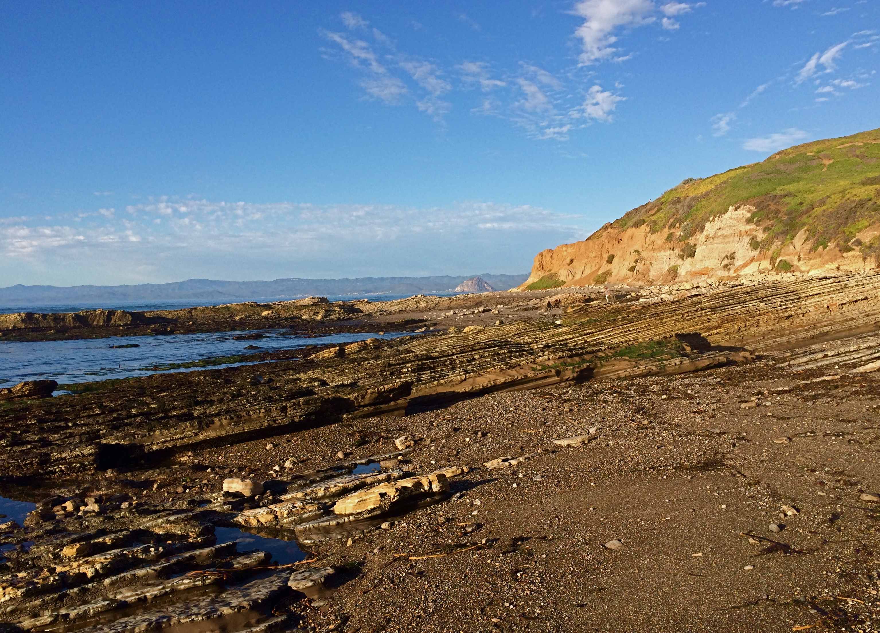
The Monterey Formation is an extensive Miocene oil-rich geological sedimentary formation in California, with outcrops of the formation in parts of the California Coast Ranges, Peninsular Ranges, and on some of California's off-shore islands. The type locality is near the city of Monterey, California. The Monterey Formation is the major source-rock for 37 to 38 billion barrels of oil in conventional traps such as sandstones. This is most of California's known oil resources. The Monterey has been extensively investigated and mapped for petroleum potential, and is of major importance for understanding the complex geological history of California. Its rocks are mostly highly siliceous strata that vary greatly in composition, stratigraphy, and tectono-stratigraphic history. The US Energy Information Administration (EIA) estimated in 2014 that the 1,750 square mile Monterey Formation could, as an unconventional resource, yield about 600 million barrels of oil, from ... [...More Info...] [...Related Items...] OR: [Wikipedia] [Google] [Baidu] |
Vaqueros Formation
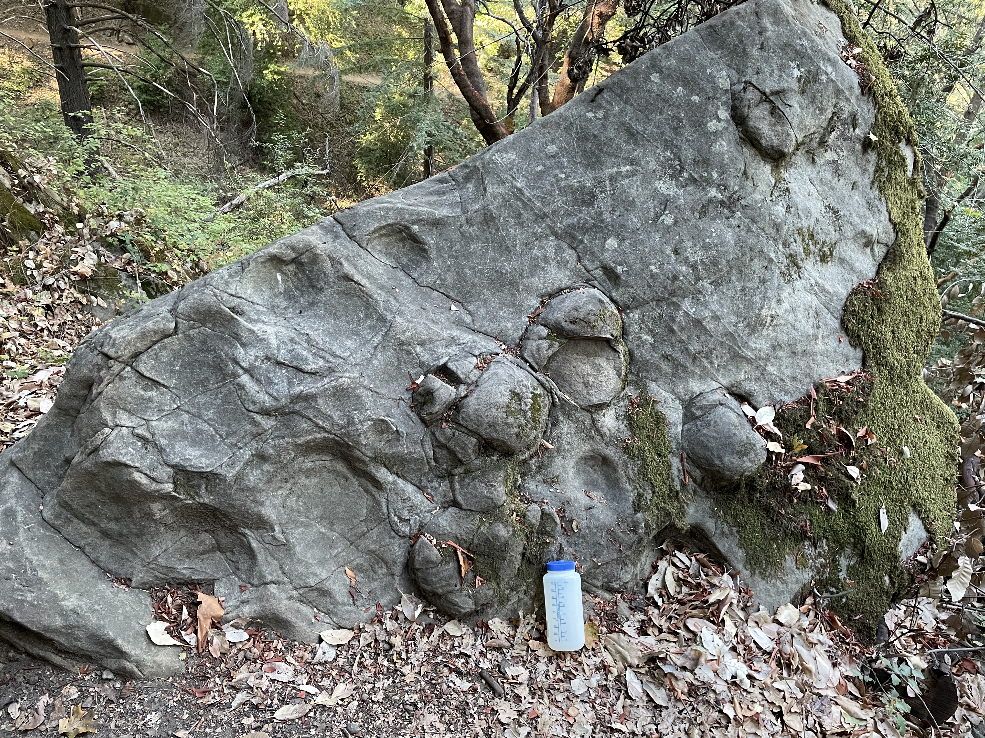
The Vaqueros Formation is a sedimentary geologic unit primarily of Upper Oligocene and Lower Miocene age, which is widespread on the California coast and coastal ranges in approximately the southern half of the state. It is predominantly a medium-grained sandstone unit, deposited in a shallow marine environment. Because of its high porosity and nearness to petroleum source rocks, in many places it is an oil-bearing unit, wherever it has been configured into structural or stratigraphic traps by folding and faulting. Being resistant to erosion, it forms dramatic outcrops in the coastal mountains. Its color ranges from grayish-green to light gray when freshly broken, and it weathers to a light brown or buff color. Type locality and deposition environment The type locality of the Vaqueros is from Vaqueros Canyon in the Santa Lucia Mountains, about eight miles southwest of Greenfield. The formation was first described by Homer Hamlin in 1904, as part of a report on the water ... [...More Info...] [...Related Items...] OR: [Wikipedia] [Google] [Baidu] |
Miocene
The Miocene ( ) is the first geological epoch of the Neogene Period and extends from about (Ma). The Miocene was named by Scottish geologist Charles Lyell; the name comes from the Greek words (', "less") and (', "new") and means "less recent" because it has 18% fewer modern marine invertebrates than the Pliocene has. The Miocene is preceded by the Oligocene and is followed by the Pliocene. As Earth went from the Oligocene through the Miocene and into the Pliocene, the climate slowly cooled towards a series of ice ages. The Miocene boundaries are not marked by a single distinct global event but consist rather of regionally defined boundaries between the warmer Oligocene and the cooler Pliocene Epoch. During the Early Miocene, the Arabian Peninsula collided with Eurasia, severing the connection between the Mediterranean and Indian Ocean, and allowing a faunal interchange to occur between Eurasia and Africa, including the dispersal of proboscideans into Eurasia. During the ... [...More Info...] [...Related Items...] OR: [Wikipedia] [Google] [Baidu] |
Santa Ana Mountains
The Santa Ana Mountains are a short peninsular mountain range along the coast of Southern California in the United States. They extend for approximately southeast of the Los Angeles Basin largely along the border between Orange and Riverside counties. Geography and climate Peaks and boundaries The range starts in the north at the Whittier Fault and Santa Ana Canyon, through which the Santa Ana River flows. To the north of the canyon are the smaller Chino Hills in Los Angeles and San Bernardino counties. The northernmost summit of the Santa Anas, at , is Sierra Peak. From there, the major summits are Pleasants Peak, ; Bedford Peak, ; and Bald Peak, . The next two peaks, Modjeska, ; and Santiago, , the highest summit in the range; form Saddleback Ridge. Saddleback, located approximately 20 mi (32 km) east of Santa Ana, is visible from much of Southern California. South of Saddleback are Trabuco Peak, ; Los Pinos Peak, and Sitton Peak, . Elsinore Peak, is incl ... [...More Info...] [...Related Items...] OR: [Wikipedia] [Google] [Baidu] |
Watershed
Watershed is a hydrological term, which has been adopted in other fields in a more or less figurative sense. It may refer to: Hydrology * Drainage divide, the line that separates neighbouring drainage basins * Drainage basin, called a "watershed" in North American usage, an area of land where surface water converges Music * ''Watershed'', a 2022 oratorio based on the murder of George Duncan in Adelaide, South Australia * Watershed Music Festival, an annual country music festival in George, Washington Albums and songs * "The Watershed", a song by Mark Hollis, from his eponymous album ''Mark Hollis'' * "Watershed", a song on the album ''Nomads Indians Saints'' by the Indigo Girls * ''Watershed'' (Grant McLennan album), the debut solo album by Grant McLennan * ''Watershed'' (k.d. lang album), the fifth solo studio album by k.d. lang * ''Watershed'' (Opeth album), the ninth full-length studio album by Opeth * "Wattershed", a song by Foo Fighters on their 1995 eponymous debut ... [...More Info...] [...Related Items...] OR: [Wikipedia] [Google] [Baidu] |
Salt Creek (Orange County)
Salt Creek is a small coastal stream in southern Orange County in the U.S. state of California. The creek drains in parts of the cities of Laguna Niguel, Dana Point, and San Juan Capistrano. The mostly channelized creek has no named surface tributaries. The creek begins in the central portion of the city of Laguna Niguel and flows west and south through a narrow canyon referred to as the ''Salt Creek Corridor'', which is mostly inside a long and narrow regional park. It then flows into the Monarch Beach Golf Course in the city of Dana Point and enters a subsurface storm channel ("Arroyo Salada Storm Channel") which carries it to its discharge point at Salt Creek County Beach. Name Salt Creek's name originates from when Spanish explorers named the creek "''Arroyo Salado''" (''Spanish'': "Salt Creek"). The name given to the creek by the indigenous people has been lost. Course Salt Creek begins in a series of small canyons west of the Street of the Golden Lantern, an arterial road ... [...More Info...] [...Related Items...] OR: [Wikipedia] [Google] [Baidu] |
Los Angeles Basin
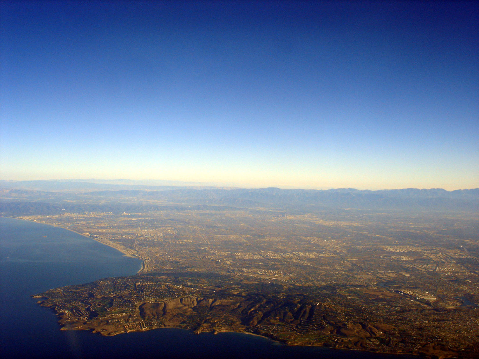
The Los Angeles Basin is a sedimentary basin located in Southern California, in a region known as the Peninsular Ranges. The basin is also connected to an anomalous group of east-west trending chains of mountains collectively known as the Transverse Ranges. The present basin is a coastal lowland area, whose floor is marked by elongate low ridges and groups of hills that is located on the edge of the Pacific Plate. The Los Angeles Basin, along with the Santa Barbara Channel, the Ventura Basin, the San Fernando Valley, and the San Gabriel Basin, lies within the greater southern California region. On the north, northeast, and east, the lowland basin is bound by the Santa Monica Mountains and Puente, Elysian, and Repetto hills. To the southeast, the basin is bordered by the Santa Ana Mountains and the San Joaquin Hills. The western boundary of the basin is marked by the Continental Borderland and is part of the onshore portion. The California borderland is characterized by n ... [...More Info...] [...Related Items...] OR: [Wikipedia] [Google] [Baidu] |
Thrust Fault
A thrust fault is a break in the Earth's crust, across which older rocks are pushed above younger rocks. Thrust geometry and nomenclature Reverse faults A thrust fault is a type of reverse fault that has a dip of 45 degrees or less. If the angle of the fault plane is lower (often less than 15 degrees from the horizontal) and the displacement of the overlying block is large (often in the kilometer range) the fault is called an ''overthrust'' or ''overthrust fault''. Erosion can remove part of the overlying block, creating a ''fenster'' (or ''window'') – when the underlying block is exposed only in a relatively small area. When erosion removes most of the overlying block, leaving island-like remnants resting on the lower block, the remnants are called ''klippen'' (singular ''klippe''). Blind thrust faults If the fault plane terminates before it reaches the Earth's surface, it is referred to as a ''blind thrust'' fault. Because of the lack of surface evidence, blind thr ... [...More Info...] [...Related Items...] OR: [Wikipedia] [Google] [Baidu] |
Aliso And Wood Canyons Wilderness Park
Aliso and Wood Canyons Wilderness Park is a major regional park in the San Joaquin Hills of Orange County, California in the United States. Comprising of rugged coastal canyons, open grassland, and riparian woodland, the park borders the suburban cities of Aliso Viejo, Dana Point, Laguna Beach, Laguna Hills and Laguna Niguel and lies within a portion of the ancestral homeland of the indigenous Acjachemen people. Aliso and Wood Canyons is part of a larger park complex known as the South Coast Wilderness. Surrounded by heavy suburban development and the Pacific Ocean, it is an important regional wildlife preserve. The park includes trails for hiking, mountain biking, and horseback riding; a greenbelt and bikeway along Aliso Creek; and various geological features such as caves, springs, and exposed marine fossil beds. The park is administered by the County of Orange under the OC Parks Department. The name ''Aliso'' originated in the 18th century when Spanish explorers named Aliso ... [...More Info...] [...Related Items...] OR: [Wikipedia] [Google] [Baidu] |
The Los Angeles Times
''The'' () is a grammatical article in English, denoting persons or things already mentioned, under discussion, implied or otherwise presumed familiar to listeners, readers, or speakers. It is the definite article in English. ''The'' is the most frequently used word in the English language; studies and analyses of texts have found it to account for seven percent of all printed English-language words. It is derived from gendered articles in Old English which combined in Middle English and now has a single form used with pronouns of any gender. The word can be used with both singular and plural nouns, and with a noun that starts with any letter. This is different from many other languages, which have different forms of the definite article for different genders or numbers. Pronunciation In most dialects, "the" is pronounced as (with the voiced dental fricative followed by a schwa) when followed by a consonant sound, and as (homophone of pronoun ''thee'') when followed by a v ... [...More Info...] [...Related Items...] OR: [Wikipedia] [Google] [Baidu] |

.jpg)


.png)