|
Stolin
Stolin ( be, Сто́лін; uk, Сто́лін; russian: Сто́лин; pl, Stolin; Yiddish/Hebrew: סטולין) is a town in the Stolin District in Brest Region of Belarus. It is the centre of the largest district in Brest Region. The population is 10,491 people (2012). The Belarusian-Ukrainian border is about away, so Stolin is now a border city that hosts many Ukrainians on market days. Russian speech is common here, but villagers prefer their own dialects that are akin partly to the Belarusian language, partly the Ukrainian language. History Stolin grew up at the heart of the Polesia region on the Haryn River, at the crossroads of two important routes, one leading northwards to Pinsk, two others eastwards to Davyd-Haradok and Turaŭ, that are now in Belarus, southwards to Sarny and Kyiv, that are now in Ukraine. Archaeological evidence suggests that the area which Stolin now occupies, was settled as far back as the 12th century AD. The first mention of Stolin dates ... [...More Info...] [...Related Items...] OR: [Wikipedia] [Google] [Baidu] |
Stolin (Hasidic Dynasty)
Karlin-Stolin is a Hasidic dynasty, originating with Rebbe Aaron ben Jacob of Karlin in present-day Belarus. One of the first centres of Hasidim to be set up in Lithuania, many Lithuanian Hasidic groups are its offshoots. Today, the Karlin-Stolin dynasty is thriving once again, after being decimated by the Holocaust. Karlin-Stolin Hasidim can be found all over the world: Israel, the United States, Russia, England, Mexico, and Ukraine. The Karliner Hasidim are especially known for their custom to cry out in a strong and loud voice to God when praying. They are also known for their hospitality. Karlin-Stolin Hasidim established themselves in Eretz Yisrael in the mid-19th century, settling in Tiberias, Hebron, and Safed. In 1869, they redeemed the site of a former synagogue in Tiberias which had been built in 1786 by Rabbi Menachem Mendel of Vitebsk, but was destroyed in the Galilee earthquake of 1837. Construction of the new synagogue started in 1870, and was made possible ... [...More Info...] [...Related Items...] OR: [Wikipedia] [Google] [Baidu] |
Stolin District
Stolin District or Stolinski Rayon (; ) is district (''raion'') in the southeast of the Brest Region, Belarus. Its administrative center is in the city of Stolin. The region has a population of 89,000 people, of which 26,300 people live in urban areas. History It was established on January 15, 1940. Geography The Stolin raion covers 3342 km2. and borders the country of Ukraine to its south. Demographics At the time of the Belarus Census (2009), Stolin Raion had a population of 80,695. Of these, 97.3% were of Belarusian, 1.2% Russian and 0.9% Ukrainian ethnicity. 83.2% spoke Belarusian and 14.7% Russian as their native language. Administrative Divisions The district is subdivided into 2 cities and 19 village councils, which administer a total of 97 settlements (1 urban and 96 rural). The two cities are Stolin, the administrative center of the district, and Davyd-Haradok. There is one urban-class village, Rechytsa, which is classified as a worker settlement. ... [...More Info...] [...Related Items...] OR: [Wikipedia] [Google] [Baidu] |
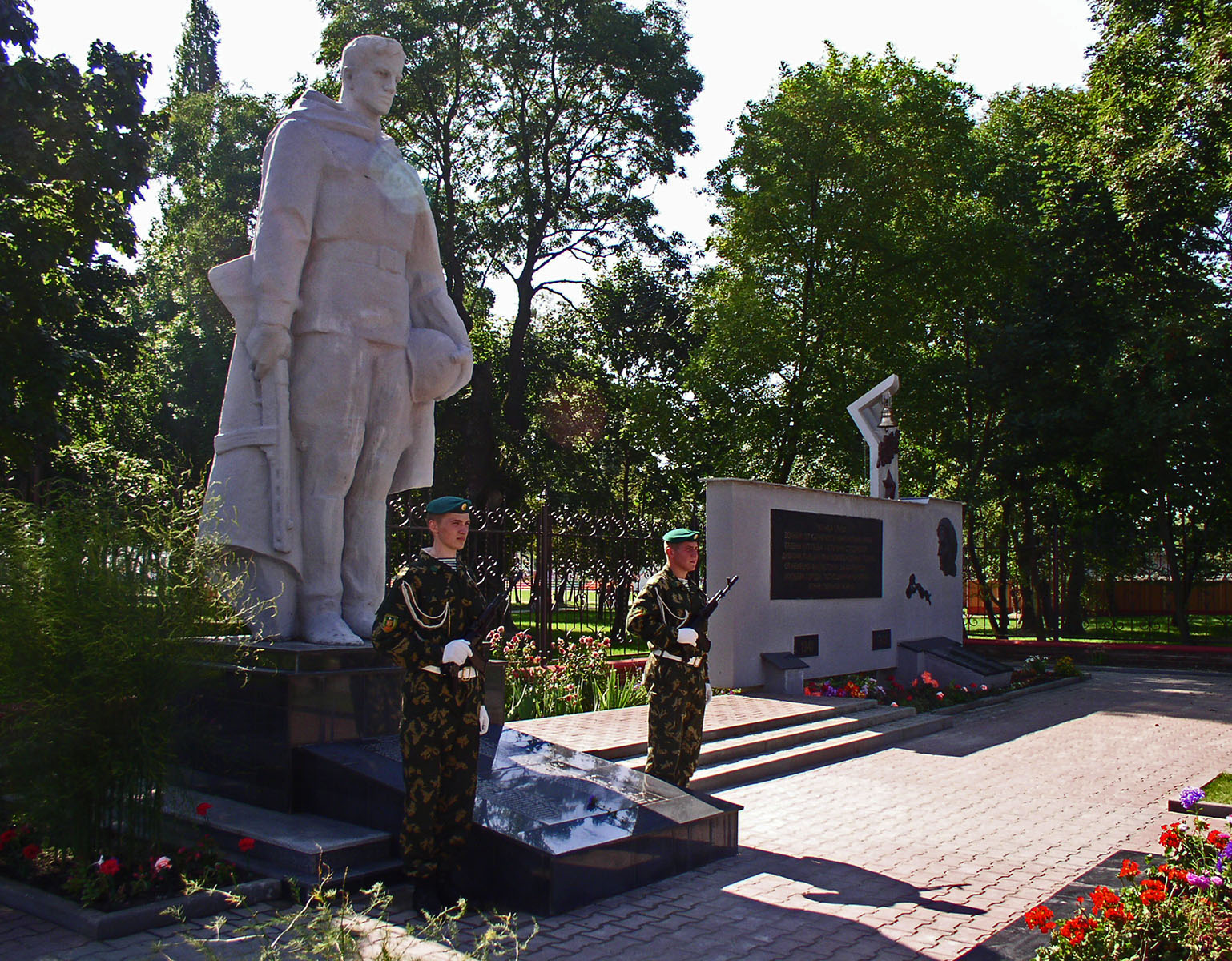
Stolin War Mem
Stolin ( be, Сто́лін; uk, Сто́лін; russian: Сто́лин; pl, Stolin; Yiddish/Hebrew: סטולין) is a town in the Stolin District in Brest Region of Belarus. It is the centre of the largest district in Brest Region. The population is 10,491 people (2012). The Belarusian-Ukrainian border is about away, so Stolin is now a border city that hosts many Ukrainians on market days. Russian speech is common here, but villagers prefer their own dialects that are akin partly to the Belarusian language, partly the Ukrainian language. History Stolin grew up at the heart of the Polesia region on the Haryn River, at the crossroads of two important routes, one leading northwards to Pinsk, two others eastwards to Davyd-Haradok and Turaŭ, that are now in Belarus, southwards to Sarny and Kyiv, that are now in Ukraine. Archaeological evidence suggests that the area which Stolin now occupies, was settled as far back as the 12th century AD. The first mention of Stolin dates t ... [...More Info...] [...Related Items...] OR: [Wikipedia] [Google] [Baidu] |
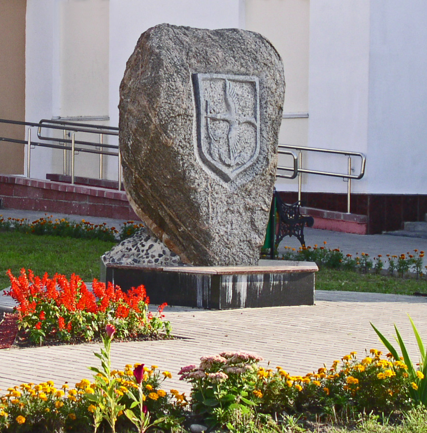
Stolin Emblem
Stolin ( be, Сто́лін; uk, Сто́лін; russian: Сто́лин; pl, Stolin; Yiddish/Hebrew: סטולין) is a town in the Stolin District in Brest Region of Belarus. It is the centre of the largest district in Brest Region. The population is 10,491 people (2012). The Belarusian-Ukrainian border is about away, so Stolin is now a border city that hosts many Ukrainians on market days. Russian speech is common here, but villagers prefer their own dialects that are akin partly to the Belarusian language, partly the Ukrainian language. History Stolin grew up at the heart of the Polesia region on the Haryn River, at the crossroads of two important routes, one leading northwards to Pinsk, two others eastwards to Davyd-Haradok and Turaŭ, that are now in Belarus, southwards to Sarny and Kyiv, that are now in Ukraine. Archaeological evidence suggests that the area which Stolin now occupies, was settled as far back as the 12th century AD. The first mention of Stolin dates t ... [...More Info...] [...Related Items...] OR: [Wikipedia] [Google] [Baidu] |
Haryn
The Horyn or Haryn ( uk, Горинь ; be, Гарынь ; russian: Горы́нь; pl, Horyń) is a tributary of the Pripyat, which flows through Ukraine and Belarus. The Horyn is long, and has a drainage basin of .Горынь It has a maximum width of 80 m, and a maximum depth of 16 m. An important tributary of the Horyn River is the Sluch. The Horyn takes its source in the of Ukraine, south of th ... [...More Info...] [...Related Items...] OR: [Wikipedia] [Google] [Baidu] |
Davyd-Haradok
Davyd-Haradok ( be, Давыд-Гарадок, ; russian: Давид-Городок, pl, Dawidgródek) is a city in the southwestern Belarusian voblast (province) of Brest. It has 5991 inhabitants (2021 estimate). History Within the Grand Duchy of Lithuania, Davyd-Haradok was part of Brest Litovsk Voivodeship. In 1793, Davyd-Haradok was acquired by the Russian Empire in the course of the Second Partition of Poland. The 18 March 1921 Peace of Riga between Poland on one side and Soviet Russia and Soviet Ukraine on the other defined Davyd-Haradok (Dawidgródek) as part of Poland in the interwar period. The USSR retook the town in 1939. In 1940, more than a third of the total population was Jewish, 4,350 Jews. During World War II, Davyd-Haradok was under German occupation from 7 July 1941 until 9 July 1944. On 10 August 1941, 3,000 Jews older than 14 years old were murdered in a mass execution perpetrated by an Einsatzgruppen unit consisting of Germans and their collaborators. ... [...More Info...] [...Related Items...] OR: [Wikipedia] [Google] [Baidu] |
Brest Region
Brest Region or Brest Oblast or Brest Voblasts ( be, Брэ́сцкая во́бласць ''(Bresckaja vobłasć)''; russian: Бре́стская о́бласть (''Brestskaya Oblast)'') is one of the regions of Belarus. Its administrative center is Brest. Important cities within the region include: Brest, Baranavichy, and Pinsk. Geography It is located in the southwestern part of Belarus, bordering the Podlasie and Lublin voivodeships of Poland on the west, the Volyn Oblast and Rivne Oblast of Ukraine on the south, the Grodno Region and Minsk Region on the north, and Gomel Region on the east. The region covers a total area of 32,800 km², about 15.7% of the national total. Kamenets District of Brest Region in few kilometers to the South-West from Vysokaye town on the Bug River the western extreme point of Belarus is situated. 2.7% of the territory are covered with Belovezhskaya Pushcha National Park, 9.8% are covered with 17 wildlife preserves of national importance. I ... [...More Info...] [...Related Items...] OR: [Wikipedia] [Google] [Baidu] |
Districts Of Belarus
Districts of Belarus (raion) are second-level administrative territorial entities of Belarus. In Belarus, raions (russian: район; be, раён, rajonAccording to thInstruction on Latin Transliteration of Geographical Names of the Republic of Belarus, Decree of the State Committee on Land Resources, Surveying and Cartography of the Republic of Belarus dated 23.11.2000 No. 15recommended for use by the Working Group on Romanization Systems of the United Nations Group of Experts on Geographical Names (UNGEGN) — . See also: Instruction on transliteration of Belarusian geographical names with letters of Latin script; Romanization of Belarusian.) are administrative territorial entities subordinated to oblast An oblast (; ; Cyrillic (in most languages, including Russian and Ukrainian): , Bulgarian: ) is a type of administrative division of Belarus, Bulgaria, Kazakhstan, Kyrgyzstan, Russia, and Ukraine, as well as the Soviet Union and the Kingdom of ...s. List References ... [...More Info...] [...Related Items...] OR: [Wikipedia] [Google] [Baidu] |
Belarusian Language
Belarusian ( be, беларуская мова, biełaruskaja mova, link=no, ) is an East Slavic language. It is the native language of many Belarusians and one of the two official state languages in Belarus. Additionally, it is spoken in some parts of Russia, Lithuania, Latvia, Poland, and Ukraine by Belarusian minorities in those countries. Before Belarus gained independence in 1991, the language was only known in English as ''Byelorussian'' or ''Belorussian'', the compound term retaining the English-language name for the Russian language in its second part, or alternatively as ''White Russian''. Following independence, it became known as ''Belarusan'' and since 1995 as ''Belarusian'' in English. As one of the East Slavic languages, Belarusian shares many grammatical and lexical features with other members of the group. To some extent, Russian, Rusyn, Ukrainian, and Belarusian retain a degree of mutual intelligibility. Its predecessor stage is known in Western academia as R ... [...More Info...] [...Related Items...] OR: [Wikipedia] [Google] [Baidu] |
Polesia
Polesia, Polesie, or Polesye, uk, Полісся (Polissia), pl, Polesie, russian: Полесье (Polesye) is a natural and historical region that starts from the farthest edge of Central Europe and encompasses Eastern Europe, including Eastern Poland, the Belarus–Ukraine border region and Southwestern Russia. Extent One of the largest forest areas on the continent, Polesia is located in the southwestern part of the Eastern-European Lowland, the Polesian Lowland. On the western side, Polesia originates at the crossing of the Bug River valley in Poland and the Pripyat River valley of Western Ukraine. The swampy areas of central Polesia are known as the Pinsk Marshes (after the major local city of Pinsk). Large parts of the region were contaminated after the Chernobyl disaster and the region now includes the Chernobyl Exclusion Zone and Polesie State Radioecological Reserve, named after the region. Name The names ''Polesia/Polissia/Polesye'', etc. may reflect the Slavi ... [...More Info...] [...Related Items...] OR: [Wikipedia] [Google] [Baidu] |
Homberg (Efze)
Homberg () is a small town in the northern part of Hesse, a state in central Germany, with about 15,000 inhabitants. It is the seat of the Schwalm-Eder district. In 2008, the town hosted the 48th Hessentag state festival. Geography Homberg lies in the transitional zone between the West Hesse Depression, a sunken area dating from the Tertiary subera, and the Knüll (or Knüllgebirge), a low mountain range. The town itself stretches over several hills underlain mainly with basalt. The river Efze flows from the Knüll through Homberg, later emptying into the river Schwalm. There exist small coal deposits in the immediate area. Constituent communities Homberg consists of the following communities: History Homberg was founded by the Hessian-Thuringian Landgraves and had its first documentary mention as a town in 1231. The place had indeed been settled earlier, but Homberg still celebrated its 775th anniversary as a town in 2006. The town's name comes from the ''Hohenburg'', the ca ... [...More Info...] [...Related Items...] OR: [Wikipedia] [Google] [Baidu] |
Shoah
The Holocaust, also known as the Shoah, was the genocide of European Jews during World War II. Between 1941 and 1945, Nazi Germany and its collaborators systematically murdered some six million Jews across German-occupied Europe; around two-thirds of Europe's Jewish population. The murders were carried out in pogroms and mass shootings; by a policy of extermination through labor in concentration camps; and in gas chambers and gas vans in German extermination camps, chiefly Auschwitz-Birkenau, Bełżec, Chełmno, Majdanek, Sobibór, and Treblinka in occupied Poland. Germany implemented the persecution in stages. Following Adolf Hitler's appointment as chancellor on 30 January 1933, the regime built a network of concentration camps in Germany for political opponents and those deemed "undesirable", starting with Dachau on 22 March 1933. After the passing of the Enabling Act on 24 March, which gave Hitler dictatorial plenary powers, the government began isolating Jews ... [...More Info...] [...Related Items...] OR: [Wikipedia] [Google] [Baidu] |


.jpg)
