|
State Route 613 (Fairfax County, Virginia)
State Route 613 (SR 613) in Fairfax County, Virginia is a secondary state highway. The designation includes several distinct suburban surface routes within the county. These routes were once mostly connected, but changes in road alignment, new road construction, and annexations by the independent city of Alexandria have separated them. These routes are signed only sporadically as 613 and local residents usually refer to these routes by their names. Route description , SR 613 is the designation of four distinct routes within Fairfax County. From the north, the first is that of Wilson Boulevard from the Arlington County line to the intersection with State Route 7 (Leesburg Pike) and U.S. Route 50 (Arlington Boulevard) at Seven Corners. SR 613 then continues as Sleepy Hollow Road to a terminus at State Route 244 ( Columbia Pike). The second section is Lincolnia Road for its entire length and begins at an intersection with SR 244 east of the previous terminus. It continues t ... [...More Info...] [...Related Items...] OR: [Wikipedia] [Google] [Baidu] |
Newington, Virginia
Newington is a census-designated place (CDP) in Fairfax County, Virginia, United States. The population was 12,943 at the 2010 census. The 2010 census showed a significant decrease after half the population was split off to the newly created Newington Forest CDP. While the ZIP code for Newington is 22122, this is only for delivery points within the post office itself. Homes and businesses in the CDP have Springfield or Lorton street addresses. Geography Newington is located in southern Fairfax County at (38.735414, −77.203558). It is bordered to the north by Springfield, to the northeast by Franconia and Kingstowne, to the east and southeast by Fort Belvoir, to the southwest by Lorton, to the west by Newington Forest, and to the northwest by West Springfield. Interstate 95 passes through the middle of the CDP, with access from Exit 166 (Virginia Route 286, the Fairfax County Parkway). Washington, D.C. is to the northeast via I-95 and I-395, and Fredericksburg i ... [...More Info...] [...Related Items...] OR: [Wikipedia] [Google] [Baidu] |
State Route 620 (Fairfax County, Virginia)
State Route 620 in Fairfax and Loudoun Counties, Virginia is a secondary state highway. The entire length of SR 620 is also known as Braddock Road (except for a small section in Centreville called Spindle Court). SR 620 also has a short concurrency with SR 659 / Union Mill Road in Centreville. In Centreville and Eastern Loudoun County, SR 620 is a major commuter route, as it empties onto SR 28 (Sully Rd.), which in turn has a nearby interchange with Interstate 66. SR 620 also has major junctions with SR 123, Fairfax County Parkway, and Interstate 495 (Capital Beltway). It has a very large number of residential neighborhoods lining the road, so most of the remainder is also a major commuter artery. The length and positioning of the highway attract motorists that are traveling from one part of Fairfax County to another. Route description East and Central Fairfax County SR 620 begins in Fairfax County at Columbia Pike ( SR 244) near Lake Barcroft and runs southward, cross ... [...More Info...] [...Related Items...] OR: [Wikipedia] [Google] [Baidu] |
Virginia Department Of Transportation
The Virginia Department of Transportation (VDOT) is the agency of the state government responsible for transportation in the state of Virginia in the United States. VDOT is headquartered at the Virginia Department of Highways Building in downtown Richmond. VDOT is responsible for building, maintaining, and operating the roads, bridges, and tunnels in the commonwealth. It is overseen by the Commonwealth Transportation Board, which has the power to fund airports, seaports, rail, and public transportation. VDOT's revised annual budget for fiscal year 2019 is $5.4 billion. VDOT has a workforce of about 7,500 full-time employees. Responsibilities VDOT operates and maintains: * Roads: VDOT's largest responsibility is the maintenance of roads. Filling potholes, storm drain cleaning, water drainage, guard rail replacement, bridge work, tree removal, and trash removal, as well as the maintenance of signs and traffic lights. * More than 21,000 bridges and structures * Snow remov ... [...More Info...] [...Related Items...] OR: [Wikipedia] [Google] [Baidu] |
Accotink, Virginia
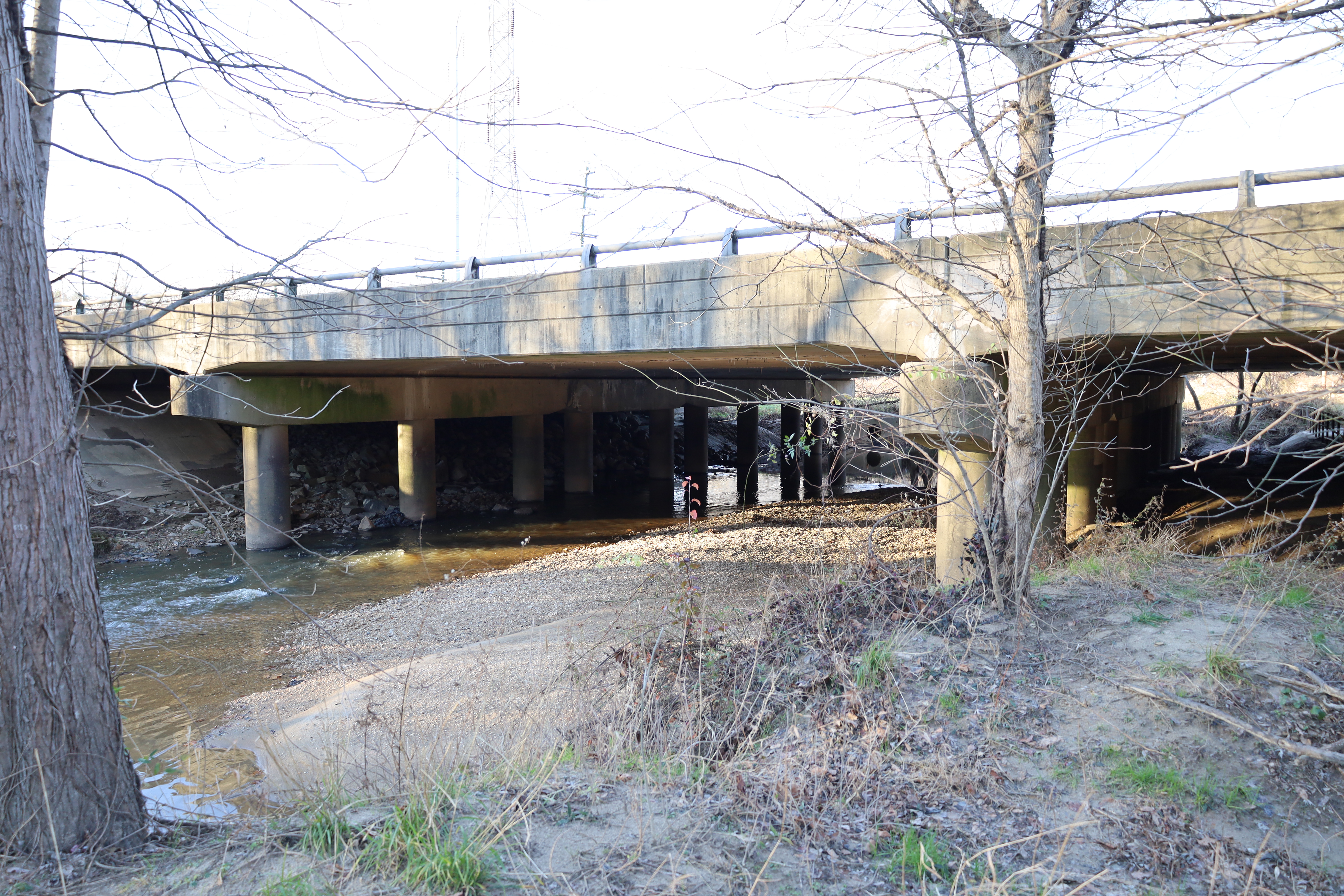
Accotink is an unincorporated community in Fairfax County, Virginia, United States. Accotink is located along Accotink Creek within Fort Belvoir Fort Belvoir is a United States Army installation and a census-designated place (CDP) in Fairfax County, Virginia, United States. It was developed on the site of the former Belvoir plantation, seat of the prominent Fairfax family for whom Fa .... See also * Lake Accotink References {{authority control Unincorporated communities in Fairfax County, Virginia Unincorporated communities in Virginia Washington metropolitan area ... [...More Info...] [...Related Items...] OR: [Wikipedia] [Google] [Baidu] |
Virginia State Route 617 (Fairfax County)
State Route 617 (SR 617) in the U.S. state of Virginia is a secondary Secondary may refer to: Science and nature * Secondary emission, of particles ** Secondary electrons, electrons generated as ionization products * The secondary winding, or the electrical or electronic circuit connected to the secondary winding i ... route designation applied to multiple discontinuous road segments among the many counties. The list below describes the sections in each county that are designated SR 617. List References External links {{commonscat, Virginia State Route 617 617 ... [...More Info...] [...Related Items...] OR: [Wikipedia] [Google] [Baidu] |
Identity Documents In The United States
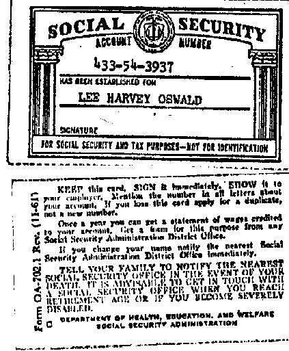
In the United States, identity documents are typically the regional state-issued driver's license or identity card, while also the Social Security card (or just the Social Security number) and the United States Passport Card may serve as national identification. The United States passport itself also may serve as identification. There is, however, no official "national identity card" in the United States, in the sense that there is no federal agency with nationwide jurisdiction that directly issues an identity document to all US citizens for mandatory regular use. There have been proposals to nationalize ID cards, as currently citizens are identified by a patchwork of documents issued by both the federal government as well as individual state and local governments. It is both a political issue and a practical one, and the idea of federalism is cited as supporting federated (regional) identification. All legislative attempts to create a national identity card have failed due to ... [...More Info...] [...Related Items...] OR: [Wikipedia] [Google] [Baidu] |
United States Army
The United States Army (USA) is the land warfare, land military branch, service branch of the United States Armed Forces. It is one of the eight Uniformed services of the United States, U.S. uniformed services, and is designated as the Army of the United States in the United States Constitution, U.S. Constitution.Article II, section 2, clause 1 of the United States Constitution (1789). See alsTitle 10, Subtitle B, Chapter 301, Section 3001 The oldest and most senior branch of the U.S. military in order of precedence, the modern U.S. Army has its roots in the Continental Army, which was formed 14 June 1775 to fight the American Revolutionary War (1775–1783)—before the United States was established as a country. After the Revolutionary War, the Congress of the Confederation created the United States Army on 3 June 1784 to replace the disbanded Continental Army.Library of CongressJournals of the Continental Congress, Volume 27/ref> The United States Army considers itself to be ... [...More Info...] [...Related Items...] OR: [Wikipedia] [Google] [Baidu] |
Fort Belvoir
Fort Belvoir is a United States Army installation and a census-designated place (CDP) in Fairfax County, Virginia, United States. It was developed on the site of the former Belvoir plantation, seat of the prominent Fairfax family for whom Fairfax County was named. It was known as Camp A. A. Humphreys from 1917 to 1935 and Fort Belvoir afterward. Fort Belvoir is home to a number of significant United States military organizations. With nearly twice as many workers as The Pentagon, Fort Belvoir is the largest employer in Fairfax County. Fort Belvoir comprises three geographically distinct areas: main base, Davison Army Airfield, and Fort Belvoir North. History Plantation The Fort Belvoir site was originally the home of William Fairfax, the cousin and land agent of Thomas Fairfax, 6th Lord Fairfax of Cameron the proprietor of the Northern Neck, which stood on land now part of the base. William Fairfax purchased the property in 1738 when his cousin arranged for him t ... [...More Info...] [...Related Items...] OR: [Wikipedia] [Google] [Baidu] |
Virginia State Route 289
The following highways are numbered 289: Canada *Manitoba Provincial Road 289 * Nova Scotia Route 289 * Quebec Route 289 Japan * Japan National Route 289 United Kingdom * A289 road (Great Britain) United States * Alabama State Route 289 * Arizona State Route 289 * Connecticut Route 289 * Florida State Road 289 * Georgia State Route 289 (former) * Kentucky Route 289 * Maryland Route 289 * Minnesota State Highway 289 *Montana Secondary Highway 289 (former) * Nevada State Route 289 * New Mexico State Road 289 * New York State Route 289 * Ohio State Route 289 * Texas State Highway 289 ** Texas State Highway Loop 289 ** Farm to Market Road 289 (Texas) * Utah State Route 289 * Vermont Route 289 Vermont Route 289 (VT 289) is a state highway located within the town of Essex, Vermont. It is a limited-access highway that ... [...More Info...] [...Related Items...] OR: [Wikipedia] [Google] [Baidu] |
US Bike 1 (M1-9)
The United States of America (U.S.A. or USA), commonly known as the United States (U.S. or US) or America, is a country primarily located in North America. It consists of 50 states, a federal district, five major unincorporated territories, nine Minor Outlying Islands, and 326 Indian reservations. The United States is also in free association with three Pacific Island sovereign states: the Federated States of Micronesia, the Marshall Islands, and the Republic of Palau. It is the world's third-largest country by both land and total area. It shares land borders with Canada to its north and with Mexico to its south and has maritime borders with the Bahamas, Cuba, Russia, and other nations. With a population of over 333 million, it is the most populous country in the Americas and the third most populous in the world. The national capital of the United States is Washington, D.C. and its most populous city and principal financial center is New York City. Paleo-America ... [...More Info...] [...Related Items...] OR: [Wikipedia] [Google] [Baidu] |
State Route 611 (Fairfax County, Virginia)
State Route 611 in Fairfax County, Virginia is a secondary state highway which traverses the eastern portion of the county. SR 611 provides a major artery for commuters, connecting the Eisenhower Valley section of Alexandria with Lorton and points south along US 1. SR 611 is known by three names: Telegraph Road, Old Colchester Road, and Furnace Road. Route description Telegraph Road SR 611 starts as Telegraph Road at an intersection with SR 241, North Kings Highway, near Alexandria. North of this intersection Telegraph Road intersects with the Capital Beltway (I-95 and I-495), and SR 236 (Duke Street). Telegraph Road starts as a six-lane divided highway, passing a short commercial section and a residential section. When Telegraph Road passes SR 644 (Franconia Road), it reduces to four lanes divided, and gradually reduces from there to two lanes undivided. Shortly before SR 611 intersects with SR 633 (South Kings Highway), it intersects with SR 1635 (Rose Hill Drive). Acros ... [...More Info...] [...Related Items...] OR: [Wikipedia] [Google] [Baidu] |


