|
State Highway 145 (Oklahoma)
State Highway 145, abbreviated as SH-145 or OK-145, is a short, highway in Garvin County, Oklahoma. It connects Interstate 35 at its west end to US-77 in Paoli at its east end. It does not have any spur routes. Route description State Highway 145 begins at Exit 79 along Interstate 35 in northern Garvin County. From this point, it heads east along Davis Avenue until it reaches the town of Paoli. The route ends at US-77 in the center of the town. "TO Interstate 35" signage is also present along westbound SH-145. History State Highway 145 was added to Oklahoma's highway system in 1958. The original western terminus of the highway was at State Highway 19 east of Maysville. The eastern terminus was in Paoli. The highway was entirely gravel when it was commissioned, and did not yet have an interchange with I-35, as that highway had not yet been built south of Purcell in McClain County. By 1961, SH-145 had been extended eastward to meet SH-19 once again east of Paoli. At this ... [...More Info...] [...Related Items...] OR: [Wikipedia] [Google] [Baidu] |
Oklahoma Department Of Transportation
The Oklahoma Department of Transportation (ODOT) is an government agency, agency of the government of Oklahoma responsible for the construction and maintenance of the state's transportation infrastructure. Under the leadership of the Oklahoma Secretary of Transportation, Oklahoma secretary of transportation and ODOT executive director, the department maintains public infrastructure that includes highways and state-owned railroads and administers programs for county roads, city streets, public transit, passenger rail, waterways and active transportation. Along with the Oklahoma Turnpike Authority, the department is the primary infrastructure construction and maintenance agency of the State.Okla. Stat. tit. 47, § 2-106.2A ODOT is overseen by the Oklahoma Transportation Commission, composed of nine members appointed by the governor of Oklahoma, Oklahoma Senate and Oklahoma House of Representatives. Tim Gatz, a professional landscape architect with a bachelor's degree in landscape ar ... [...More Info...] [...Related Items...] OR: [Wikipedia] [Google] [Baidu] |
Paoli, Oklahoma
Paoli ( ) is a town in Garvin County, Oklahoma, United States. The population was 610 at the 2010 census. It was named after Paoli, Pennsylvania, an unincorporated community near Philadelphia from which many of the railroad workers who built the town came. History A post office was established at Paoli, Indian Territory on June 27, 1888. It took its name from Paoli, Pennsylvania. At the time of its founding, Paoli was located in Pickens County, Chickasaw Nation.Charles Goins, ''Historical Atlas of Oklahoma'' (Norman: University of Oklahoma Press, 2006), plate 105. Geography Paoli is located in northern Garvin County at (34.826997, -97.261132). According to the United States Census Bureau, the town has a total area of , of which , or 2.19%, is water. The town is located at the junction of U.S. Route 77 and State Highway 145 and is east of Interstate 35. US 77 leads north to Purcell and south to Pauls Valley, the Garvin County seat. Demographics As of the census of 2000 ... [...More Info...] [...Related Items...] OR: [Wikipedia] [Google] [Baidu] |
Garvin County, Oklahoma
Garvin County is a county in south-central Oklahoma, United States. As of the 2010 census, the population was 27,576. Its county seat is Pauls Valley. In 1906, delegates to Constitution Convention formed Garvin County from part of the Chickasaw Nation, Indian Territory. The county was named for Samuel J. Garvin, a local Chickasaw rancher, merchant and banker. Its economy is largely based on farming, ranching and oil production. History Garvin County came into existence on November 16, 1907, the day Oklahoma became a state. The territory within the present-day county had been a part of Pickens County, Chickasaw Nation in the Indian Territory.Charles Goins, ''Historical Atlas of Oklahoma'' (Norman: University of Oklahoma Press, 2006), plate 105. An election held June 20, 1908, resulted in county citizens choosing Pauls Valley as the county seat over the towns of Wynnewood and Elmore City. Oil was discovered in the southwestern part of the county known as Robberson Field in th ... [...More Info...] [...Related Items...] OR: [Wikipedia] [Google] [Baidu] |
Interstate 35 (Oklahoma)
Interstate 35 (I-35), in the US State of Oklahoma, runs from the Red River at the Texas border to the Kansas state line near Braman for a length of .Stuve, EricInterstate Highways ''OKHighways''. 27 February 2007. I-35 has one spur route in the state, I-235 in the inner city of Oklahoma City. Route description I-35 enters Oklahoma with U.S. Highway 77 (US-77) on a bridge over the Red River in Love County, south of Thackerville. US-77 splits off at exit 1 (Red River Road) but parallels the Interstate for its entire length in Oklahoma. I-35 maintains a near–due north–south course through Love and Carter counties. I-35 provides four exits to Ardmore. After leaving Ardmore, it has a brief concurrency with State Highway 53 (SH-53) and enters Murray County and the Arbuckle Mountains. I-35 then passes through Garvin County and the county seat of Pauls Valley. North of exit 79 ( SH-145), I-35 enters McClain County. There, it passes through Pu ... [...More Info...] [...Related Items...] OR: [Wikipedia] [Google] [Baidu] |
State Highway 19 (Oklahoma)
State Highway 19, abbreviated as SH-19, is a highway running through the southern part of the U.S. state of Oklahoma. It is signed east–west. Route description SH-19 begins at an intersection with US-283 in Blair, Oklahoma. SH-19 heads east from Blair for 23 miles (37 km) without intersecting another highway before meeting U.S. Highway 183 north of Roosevelt. It continues eastward, sharing a 3-mile (4.8 km) section of road with State Highway 54 before splitting off to the east and briefly overlapping with SH-115 and State Highway 58. The next town Highway 19 encounters is Apache, north of Lake Ellsworth, where it crosses U.S. Highway 62/ 281. Nine miles (14½ km) later, it overlaps with U.S. Highway 277 at Cyril. These two overlap with US-81 near Ninnekah, but SH-19 splits off to the east once again within 3 miles (4.8 km). After splitting off, SH-19 travels in a southeast direction to have a brief concurrency with State Highway 76 through Lindsay ... [...More Info...] [...Related Items...] OR: [Wikipedia] [Google] [Baidu] |
Maysville, Oklahoma
Maysville is a town in Garvin and McClain counties, Oklahoma, United States. The population was 1,232 at the 2010 census, down from 1,313 in 2000. History A post office was established at this location on March 19, 1878 and operated until May 29, 1878. It was reestablished as Beef Creek, Indian Territory on June 17, 1878. The post office took its name from nearby Beef Creek, a tributary of the Washita River. On September 19, 1902, after the town had relocated a mile north to be alongside the tracks of the newly-laid Kiowa, Chickasha and Fort Smith Railway (an affiliate of the Atchison, Topeka and Santa Fe Railway), and the post office joined it, the name was changed to Maysville. The new name was in honor of David Mayes and John Mayes, local ranchers. At the time of its founding, Beef Creek, later Mayesville, was located in Pickens County, Chickasaw Nation. Geography Maysville is located in northern Garvin County at (34.817489, -97.410162), on the south side of the valley ... [...More Info...] [...Related Items...] OR: [Wikipedia] [Google] [Baidu] |
Purcell, Oklahoma
Purcell is a city in and the county seat of McClain County, Oklahoma, United States. As of the 2020 census, the city population was 6,651. Founded in 1887, Purcell was a railroad town named after Edward B. Purcell, who was an official with the Atchison, Topeka and Santa Fe Railway.Joyce A. Rex, "Purcell," ''Encyclopedia of Oklahoma History and Culture''. Accessed April 12, 2015. Purcell is often called the "Quarterhorse Capital of the World" and its official motto is "Heart of Oklahoma"; the city has registered trademarks on both titles. History Purcell was founded in 1887. It was named after Edward B. Purcell, a vice president of the |
McClain County, Oklahoma
McClain County is a county located in south central Oklahoma. As of the 2020 census, the population was 41,662. Its county seat is Purcell. The county was named for Charles M. McClain, an Oklahoma constitutional convention attendee.O'Dell, Larry"McClain County,"''Encyclopedia of Oklahoma History and Culture'', Oklahoma Historical Society, 2009. Accessed April 4, 2015. McClain County is part of the Oklahoma City, OK Metropolitan Statistical Area. History The Chickasaw tribe began moving into this area in 1837, when the land had already been assigned to the Choctaws by the U.S. government. In 1855, the area became part of the Chickasaw Nation, after the two tribes officially separated. The present McClain County became part of Pontotoc County, Chickasaw Nation and remained such until Oklahoma attained statehood. Few Chickasaws lived here because of hostilities with western tribes (e.g., Kiowa). Major Richard Mason established Camp Holmes (also called Camp Mason) in 1835, near the ... [...More Info...] [...Related Items...] OR: [Wikipedia] [Google] [Baidu] |
Pauls Valley, Oklahoma
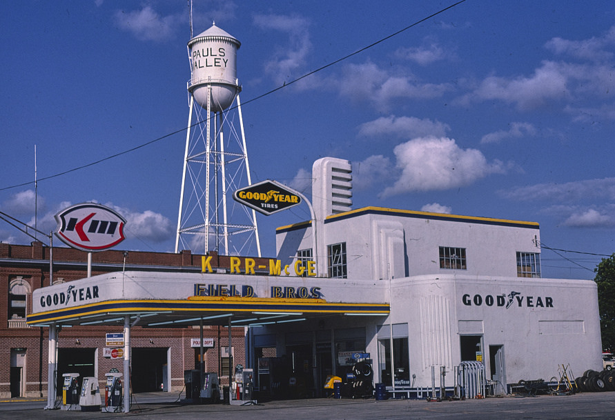
Pauls Valley is a city in and the county seat of Garvin County, Oklahoma, United States. The population was 5,992 at the 2020 census, a decline of 3.2 percent from the figure of 6,187 in 2010. It was settled by and named for Smith Paul, a North Carolina native who married a Chickasaw woman and became a citizen of the Chickasaw Nation before the Civil War. The town economy is largely based on agriculture and oil production. History The area that eventually became the city of Pauls Valley was one of the earliest European-American settlements in what was then known as Indian Territory. Smith Paul, born in 1809 in New Bern, North Carolina, discovered the fertile bottom land which is now Pauls Valley while a member of a wagon train traveling to California. Paul described the land as "a section where the bottom land was rich and blue stem grass grew so high that a man on horseback was almost hidden in its foliage." The Tri-Party Treaty of January 1, 1837, ceded this part of what is n ... [...More Info...] [...Related Items...] OR: [Wikipedia] [Google] [Baidu] |
List Of Road-related Terminology
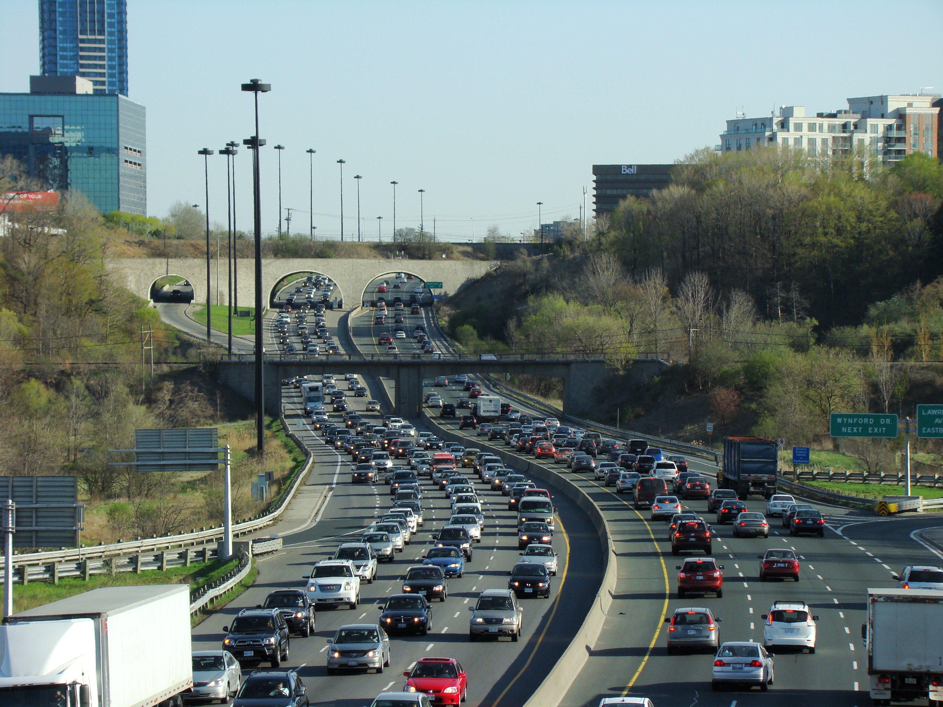
Terminology related to road transport—the transport of passengers or goods on paved (or otherwise improved) routes between places—is diverse, with variation between dialects of English. There may also be regional differences within a single country, and some terms differ based on the side of the road traffic drives on. This glossary is an alphabetical listing of road transport terms. 0–9 ;2+1 road :A specific category of three-lane road, consisting of two lanes in one direction and one lane in the other, alternating every few kilometres, and separated usually with a steel cable barrier. ;2-1 road :A specific category of one-lane road being built in Denmark and Sweden, consisting of a single two-way lane with extra wide shoulders for pedestrians and cyclists. ; 2+2 road :A specific type of dual carriageway being built in Ireland, Sweden, and Finland, consisting of two lanes in each direction separated by a steel cable barrier. ;3-way junction or 3-way intersection : ;5-1-1 ... [...More Info...] [...Related Items...] OR: [Wikipedia] [Google] [Baidu] |


