|
Stakkurin
Stakkurin is the sea stack at the northernmost point of the island of Streymoy in the Faroe Islands. The owners of Stakkurin have sheep farming on top of the sea stack, and once a year they go out and bring back the sheep and sell them at an auction in the village Tjørnuvík Tjørnuvík () is the northernmost village on Streymoy in Sunda Municipality, Faroe Islands The Faroe Islands ( ) (alt. the Faroes) are an archipelago in the North Atlantic Ocean and an autonomous territory of the Danish Realm, Kingdom .... The money from auction goes to benefit the whole community, such as the community house. The sea stack can be reached by a cable from Streymoy. References {{coord missing, Denmark Streymoy Stacks of the Faroe Islands ... [...More Info...] [...Related Items...] OR: [Wikipedia] [Google] [Baidu] |
Tjørnuvík
Tjørnuvík () is the northernmost village on Streymoy in Sunda Municipality, Faroe Islands The Faroe Islands ( ) (alt. the Faroes) are an archipelago in the North Atlantic Ocean and an autonomous territory of the Danish Realm, Kingdom of Denmark. Located between Iceland, Norway, and the United Kingdom, the islands have a populat .... As of the 2006 census, the population has a total of 71 people. The town uses the Stakkur sea stack for sheep grazing, accessed by cable car. The Risin og Kellingin sea stacks are visible across the Sundini strait. A single-lane dead-end road (route 594) from Haldórsvík is the only way to reach Tjørnuvík. Tourists clogged the road in summer, before a traffic control system improved conditions in 2022. Funding was approved for prestudies for a tunnel. Gallery File:Tjørnuvík, Faroe Islands.JPG File:Is03080-Tjornuvik.jpg File:Is03073-Tjornuvik.jpg File:Gongutúrur yvir Tjørnuvík (2).jpg See also * Towns of the Faroe Isl ... [...More Info...] [...Related Items...] OR: [Wikipedia] [Google] [Baidu] |
Stack (geology)
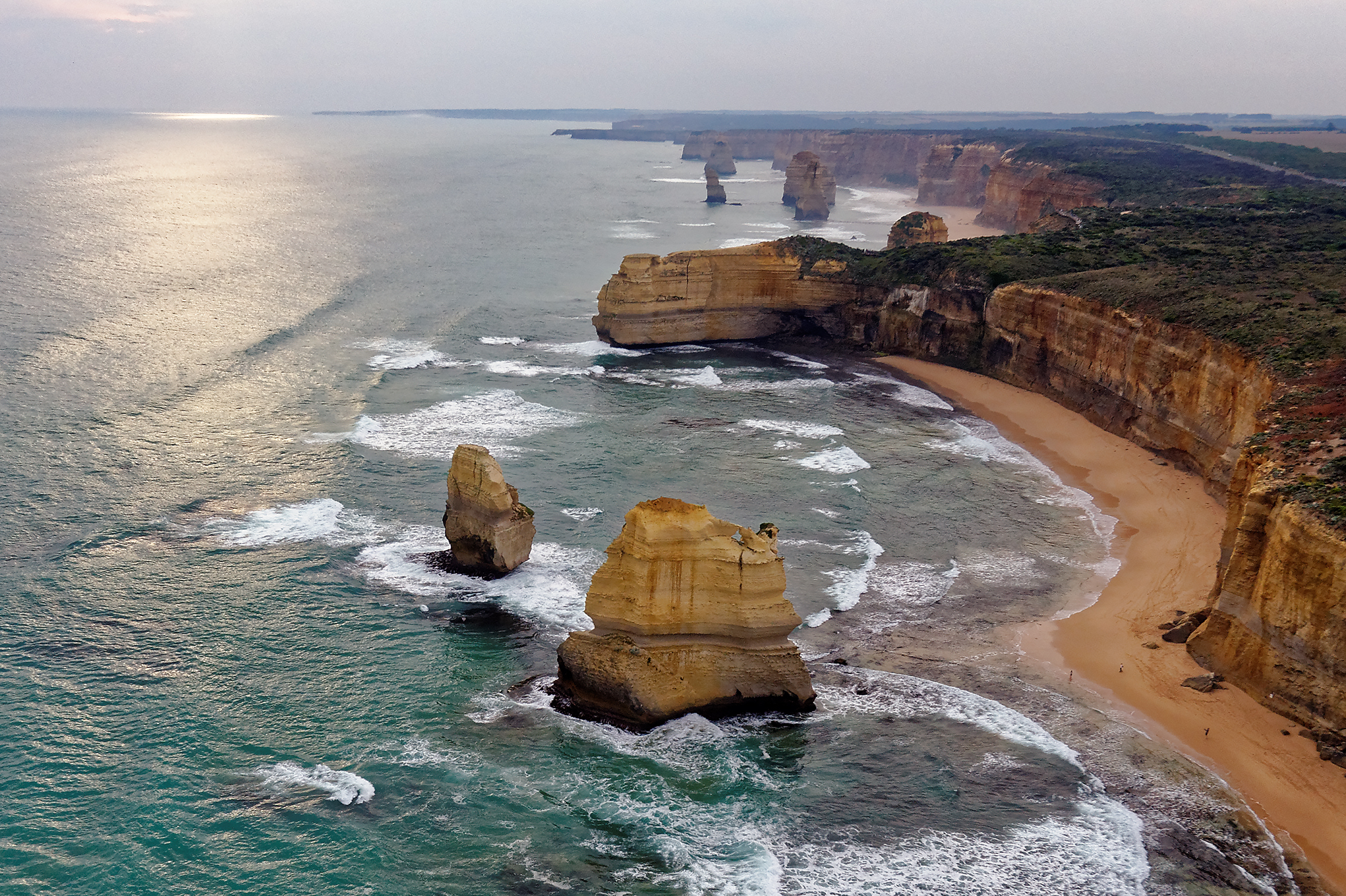
A stack or sea stack is a geological landform consisting of a steep and often vertical column or columns of rock in the sea near a coast, formed by wave erosion. Stacks are formed over time by wind and water, processes of coastal geomorphology. britannica.com They are formed when part of a is eroded by hydraulic action, which is the force of the sea or water crashing against the rock. The force of the water weakens cracks in the headland, causing them to later collapse, forming free-standing stacks and ... [...More Info...] [...Related Items...] OR: [Wikipedia] [Google] [Baidu] |
Streymoy
Streymoy (, ) is the largest and most populated island of the Faroe Islands. The capital, Tórshavn, is located on its southeast coast. The name means "island of currents". It also refers to the largest region of the country that also includes the islands of Hestur, Koltur and Nólsoy. Geography The island is oblong in shape and stretches roughly in northwest–southeast direction with a length of and a width of around . There are two deeply-indented fjords in the southeast: Kollafjørður and Kaldbaksfjørður. The island is mountainous (average height is 337 meter ), especially in the northwest, with the highest peak being Kopsenni (). That area is dominated by over cliffs. The area is known as Vestmannabjørgini, which means Cliffs of Vestmanna. The beaches of Tórshavn, Vestmanna, Leynar, Kollafjørður, Hvalvík (meaning Whale Bay) and Tjørnuvík are officially approved ''grind'' beaches for whaling. Like the rest of the Faroe Islands there are numerous short ... [...More Info...] [...Related Items...] OR: [Wikipedia] [Google] [Baidu] |
Faroe Islands
The Faroe Islands ( ) (alt. the Faroes) are an archipelago in the North Atlantic Ocean and an autonomous territory of the Danish Realm, Kingdom of Denmark. Located between Iceland, Norway, and the United Kingdom, the islands have a population of 54,609 and a land area of 1,393 km². The official language is Faroese language, Faroese, which is partially mutually intelligible with Icelandic language, Icelandic. The terrain is rugged, dominated by fjords and cliffs with sparse vegetation and few trees. As a result of its proximity to the Arctic Circle, the islands experience perpetual Twilight, civil twilight during summer nights and very short winter days; nevertheless, they experience a Oceanic climate#Subpolar variety (Cfc, Cwc), subpolar oceanic climate and mild temperatures year-round due to the Gulf Stream. The capital, Tórshavn, receives the fewest recorded hours of sunshine of any city in the world at only 840 per year. Færeyinga saga, Færeyinga Saga and the writin ... [...More Info...] [...Related Items...] OR: [Wikipedia] [Google] [Baidu] |
Sheep Farming
Sheep farming or sheep husbandry is the raising and breeding of domestic sheep. It is a branch of animal husbandry. Sheep are raised principally for their meat (lamb and mutton), milk (sheep's milk), and fiber (wool). They also yield sheepskin and parchment. Sheep can be raised in a range of temperate climates, including arid zones near the equator and other torrid zones. Farmers build fences, housing, shearing sheds, and other facilities on their property, such as for water, feed, transport, and pest control. Most farms are managed so sheep can graze pastures, sometimes under the control of a shepherd or sheep dog. Farmers can select from various breeds suitable for their region and market conditions. When the farmer sees that a ewe (female adult) is showing signs of heat or estrus, they can organise for mating with males. Newborn lambs are typically subjected to lamb marking, which involves tail docking, mulesing, earmarking, and males may be castrated. Sheep producti ... [...More Info...] [...Related Items...] OR: [Wikipedia] [Google] [Baidu] |


