|
Special Service Road 450
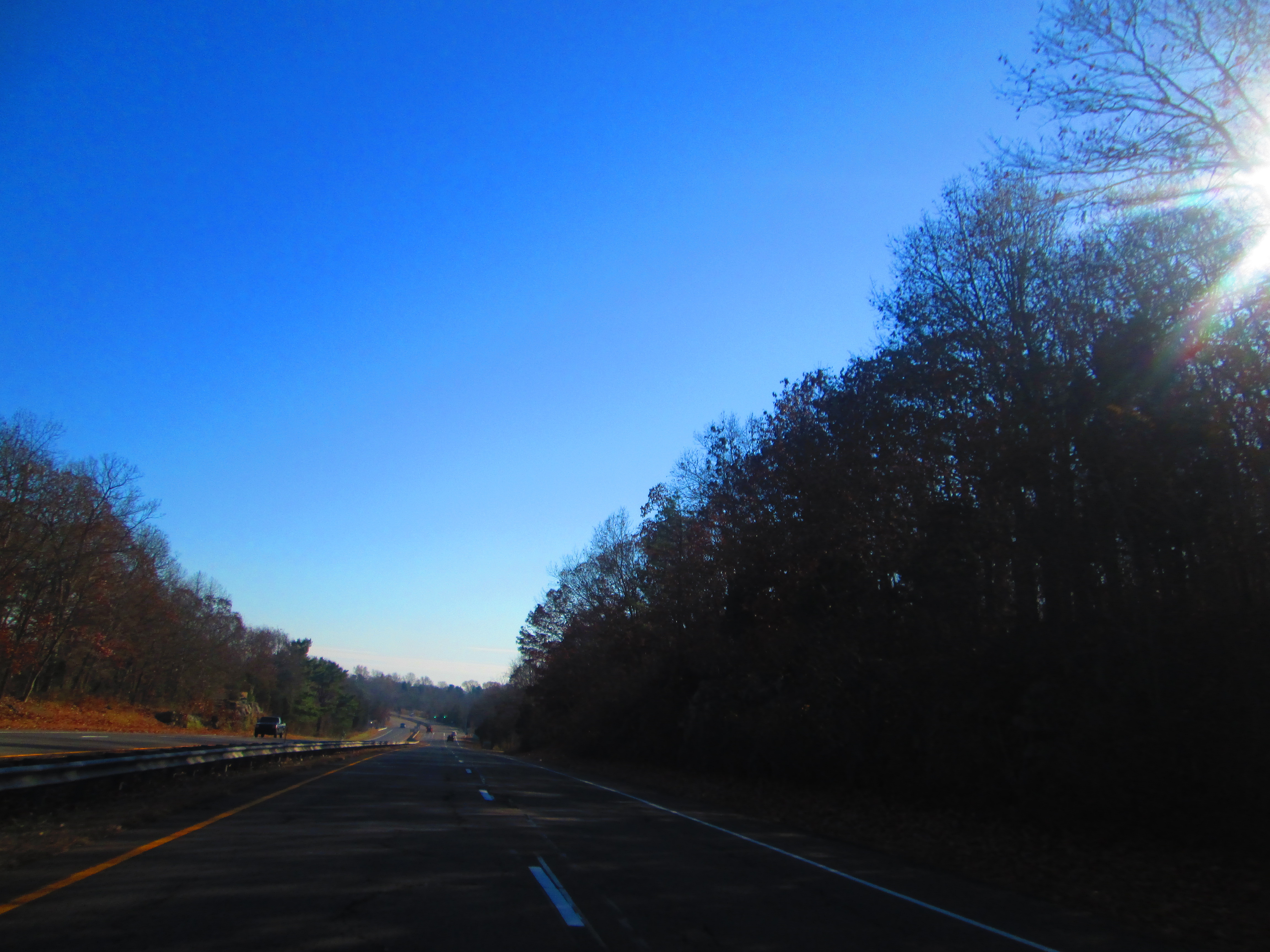
The Hammonasset Connector is a short freeway from Interstate 95 (I-95, Connecticut Turnpike) to US Route 1 (US 1). The Hammonasset Connector begins as a continuation of Duck Hole Road at exit 62 on I-95 in the town of Madison. The connector is designated as part of Special Service Road 450 (SSR 450), a designation which continues along Duck Hole Road and Horse Pond Road to Route 79. The road gets its name from Hammonasset State Park, the park at the southern terminus of the freeway. Route description The connector starts as a continuation of Duck Hole Road at an interchange with I-95 in Madison. The road crosses over I-95 about from when it begins. The connector parallels the Hammonasset River for its entire length. The connector terminates at an intersection with U.S. Route 1 in Madison, and the road continues into Hammonasset State Park Hammonasset Beach State Park is a public recreation area occupying two miles of beach front on Long Island Sound in the ... [...More Info...] [...Related Items...] OR: [Wikipedia] [Google] [Baidu] |
Madison, Connecticut
Madison is a town in the southeastern corner of New Haven County, Connecticut, United States, occupying a central location on Connecticut's Long Island Sound shoreline. The population was 17,691 at the 2020 census. Madison was first settled in 1641. Throughout the 18th century, Madison was known as East Guilford until it was incorporated as a town in 1826. The present name is after James Madison, 4th President of the United States. Beaches Hammonasset Beach State Park possesses the state's longest public beach, with campsites, picnic areas, and a fishing pier, and is extremely popular in the summer, causing traffic jams on I-95 on peak days. Surf Club Beach is the town's major public beach with lifeguards and recreational facilities for baseball, softball, basketball, volleyball, and horseshoes. It features playgrounds for children and picnic tables for families, as well as sailboat and kayak racks. It is also home to several athletic fields, including Strong Field, the town's m ... [...More Info...] [...Related Items...] OR: [Wikipedia] [Google] [Baidu] |
New Haven County, Connecticut
New Haven County is a county in the south central part of the U.S. state of Connecticut. As of the 2020 census, the population was 864,835, making it the third-most populous county in Connecticut. Two of the state's top 5 largest cities, New Haven (3rd) and Waterbury (5th), are part of New Haven County. New Haven County is part of the New Haven-Milford, CT Metropolitan Statistical Area, which is included in the New York metropolitan Combined Statistical Area. County governments were abolished in Connecticut in 1960. Thus, as is the case with all eight of Connecticut's counties, there is no county government, and no county seat. Until 1960, the city of New Haven was the county seat. In Connecticut, towns are responsible for all local government activities, including fire and rescue, snow removal and schools. In some cases, neighboring towns will share certain activities, e.g. schools, health, etc. New Haven County is merely a group of towns on a map, and has no specific gove ... [...More Info...] [...Related Items...] OR: [Wikipedia] [Google] [Baidu] |
Interstate 95 In Connecticut
Interstate 95 (I-95) is the main north–south Interstate Highway on the East Coast of the United States, running in a general east–west compass direction for 111.57 miles (179.55 km) in Connecticut, from the New York state line to the Rhode Island state line. I-95 from Greenwich to East Lyme is part of the Connecticut Turnpike, during which it passes through the major cities of Stamford, Bridgeport, and New Haven. After leaving the turnpike in East Lyme, I-95 is known as the Jewish War Veterans Memorial Highway and passes through New London, Groton, and Mystic, before exiting the state through North Stonington at the Rhode Island border. Route description I-95 follows the Connecticut Turnpike from the New York state line eastward for . This portion of the highway passes through the most heavily urbanized section of Connecticut along the shoreline between Greenwich and New Haven, with daily traffic volumes of around 150,000 vehicles throughout the en ... [...More Info...] [...Related Items...] OR: [Wikipedia] [Google] [Baidu] |
Connecticut Route 79
Route 79 is a state highway in southern Connecticut from Madison to Durham. Route description Route 79 begins at US 1 in Madison center and heads north across I-95 (at Exit 61). It continues north, intersecting with Horse Pond Road (an unsigned state road designated as Special Service Road 450), which leads to the town offices, and eventually, Hammonasset Beach State Park. Route 79 continues into the village of North Madison where it has an intersection with Route 80 at a roundabout. The road continues north into the town of Killingworth, intersecting Route 148 just south of the town line with Durham. The road runs north for another within Durham before ending at Route 17 south of the town center. Route 79 is known as Durham Road within Madison, Madison-Durham Road within Killingworth, and Madison Road within Durham. History In the 19th century, the road from Madison to Durham was known as the Durham and East Guilford Turnpike, a private toll-road established in 1811. Whe ... [...More Info...] [...Related Items...] OR: [Wikipedia] [Google] [Baidu] |
Hammonasset State Park
Hammonasset Beach State Park is a public recreation area occupying two miles of beach front on Long Island Sound in the town of Madison, Connecticut. It is the state's largest shoreline park and one of the most popular attractions in the state, drawing an estimated one million visitors annually. The state park offers beach activities, large campground, and nature center. It is managed by the Connecticut Department of Energy and Environmental Protection. History The park began with the purchase of 499 acres in 1919. The park drew over 75,000 visitors in 1920, its first year of operation, a figure that grew to nearly 450,000 by its fifth year of operation, 1924. In 2013, Hammonasset accounted for over one-quarter of statewide park attendance and over one-third of the revenue generated statewide by the state park system. Officials estimate annual attendance at one million visitors. The park closed during World War II when the site became a U.S. Army reservation and active aircraft ... [...More Info...] [...Related Items...] OR: [Wikipedia] [Google] [Baidu] |
CT 450 Midway
CT or ct may refer to: In arts and media * '' c't'' (''Computer Technik''), a German computer magazine * Freelancer Agent Connecticut (C.T.), a fictional character in the web series ''Red vs. Blue'' * Christianity Today, an American evangelical Christian magazine Businesses and organizations * CT Corp, an Indonesian conglomerate * CT Corporation, an umbrella brand for two businesses: CT Corporation and CT Liena * C/T Group, formerly Crosby Textor Group, social research and political polling company * Canadian Tire, a Canadian company engaged in retailing, financial services and petroleum * Calgary Transit, the public transit service in Calgary, Alberta, Canada * Central Trains (National Rail abbreviation), a former train operating company in the United Kingdom * Česká televize, the public television broadcaster in the Czech Republic * Community Transit, the public transit service in Snohomish County, Washington, U.S. * Comunión Tradicionalista, a former Spanish political ... [...More Info...] [...Related Items...] OR: [Wikipedia] [Google] [Baidu] |
Hammonasset River
The Hammonasset River is formed about southeast of Durham, Connecticut along a gully on the north end of Bunker Hill at about a half mile northeast of the junction of Route 148 and Bunker Hill Road. The river travels for U.S. Geological Survey. National Hydrography Dataset high-resolution flowline dataThe National Map accessed April 1, 2011 to Clinton Harbor on Long Island Sound just east of Hammonasset Beach State Park. A popular paddling route runs for about starting along Summer Hill Road about south on Route 79 from North Madison, Connecticut. This is a scenic river run with mostly flat and quickwater, but with a few Class I-II whitewater areas. The Hammonasset were a tribe of Algonquian Native Americans who had their "digging grounds" in this part of Connecticut, from the west bank of the Connecticut River to the Hammonasset River along the coast. The act of the Connecticut General Court, May 10, 1666, that established New London County mentioned as the county's wes ... [...More Info...] [...Related Items...] OR: [Wikipedia] [Google] [Baidu] |
Connecticut Department Of Transportation
The Connecticut Department of Transportation (often referred to as CTDOT and occasionally ConnDOT, or CDOT) is responsible for the development and operation of highways, railroads, mass transit systems, ports and waterways in Connecticut. Connecticut Department of Transportation. Retrieved on November 12, 2009. "Connecticut Department of Transportation 2800 Berlin Turnpike Newington CT 06111" CTDOT manages and maintains the system, and runs most of the state's ports along and the |
Guilford Historic Town Center
Guilford Historic Town Center is a large historic district encompassing the entire town center of Guilford, Connecticut, in the United States. It is centered on the town green, laid out in 1639, and extends north to Interstate 95, south to Long Island Sound, west to the West River, and east to East Creek. It includes more than 600 historic structures, most built between the late 17th and early 20th centuries, reflecting the town's growth and history during that time. It was listed on the National Register of Historic Places in 1976. The town center has been listed as a census-designated place (CDP) since 2008. As of the 2010 census, the Guilford Center CDP had a population of 2,597, out of 22,375 in the entire town of Guilford. Description and history The town of Guilford was settled by Englishmen of the Connecticut Colony in 1639, after purchasing the land from Native Americans. The town green was laid out at that time, and the town developed an economy that was largely based ... [...More Info...] [...Related Items...] OR: [Wikipedia] [Google] [Baidu] |


