|
Southern Upland Way
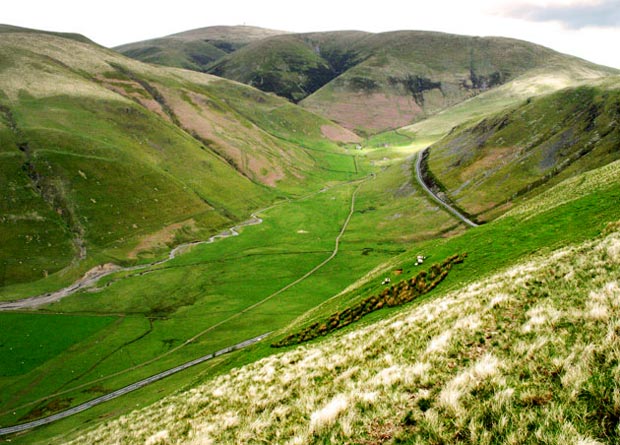
The Southern Upland Way is a coast-to-coast long-distance footpath in southern Scotland. The route links Portpatrick in the west and Cockburnspath in the east via the hills of the Southern Uplands. The Way is designated as one of Scotland's Great Trails by NatureScot and is the longest of the 29 Great Trails. The Southern Upland Way meets with seven of the other Great Trails: the Annandale Way, the Berwickshire Coastal Path, the Borders Abbeys Way, the Cross Borders Drove Road, the Mull of Galloway Trail, the Romans and Reivers Route and St Cuthbert's Way. The path is maintained by the local authorities of the two main council areas through which it passes: Dumfries and Galloway Council and Scottish Borders Council; a short section in the Lowther Hills lies in South Lanarkshire.Ordnance Survey ''Landranger'' 1:50000 map. Sheet 78 (Nithsdale & Annandale). It is primarily intended for walkers, but many parts are suitable for mountain bikers; some sections are also su ... [...More Info...] [...Related Items...] OR: [Wikipedia] [Google] [Baidu] |
Portpatrick
Portpatrick is a village and civil parish in the historical county of Wigtownshire, Dumfries and Galloway, Scotland. It is located on the west coast of the Rhins of Galloway. The parish is about in length and in breadth, covering . History Dating back some 700 years and built adjacent to the ruins of nearby Dunskey Castle, Portpatrick's position on the Rhins of Galloway affords visitors views of the Northern Irish coast to the west, with cliff-top walks and beaches both north and south. The Gulf Stream, flowing in from the north, gives the coastline a pleasant climate, in which subtropical plant life can flourish. Portpatrick has a Community Council, and an annual Life Boat Week, featuring parades, activities, and a firework display. There are bowls clubs, a golf club, many guesthouses and hotels, and rustic public houses. The village is also home to a mini putting course. By the inner harbour is the starting point of the Southern Upland Way, a long-distance walking ... [...More Info...] [...Related Items...] OR: [Wikipedia] [Google] [Baidu] |
St Cuthbert's Way
St Cuthbert's Way is a long-distance trail between the Scottish Borders town of Melrose and Lindisfarne (Holy Island) off the coast of Northumberland, England. The walk is named after Cuthbert, a 7th-century saint, a native of the Borders who spent his life in the service of the church. The route links Melrose Abbey, where Cuthbert began his religious life, with his initial burial place on Holy Island. Cuthbert achieved the status of bishop, and was called a saint eleven years after his death, when his coffin was opened and his remains found to be perfectly preserved. The route was first devised by Ron Shaw, and opened in summer 1996. Shaw continues to sit on the walk's steering group, which is responsible for managing the path. Other members of this group are Scottish Borders Council, Northumberland County Council, Northumberland National Park, and Northumberland Coast Area of Outstanding Beauty. The trail was originally developed as a walking route but some sections are ... [...More Info...] [...Related Items...] OR: [Wikipedia] [Google] [Baidu] |
BBC News
BBC News is an operational business division of the British Broadcasting Corporation (BBC) responsible for the gathering and broadcasting of news and current affairs in the UK and around the world. The department is the world's largest broadcast news organisation and generates about 120 hours of radio and television output each day, as well as online news coverage. The service maintains 50 foreign news bureaus with more than 250 correspondents around the world. Deborah Turness has been the CEO of news and current affairs since September 2022. In 2019, it was reported in an Ofcom report that the BBC spent £136m on news during the period April 2018 to March 2019. BBC News' domestic, global and online news divisions are housed within the largest live newsroom in Europe, in Broadcasting House in central London. Parliamentary coverage is produced and broadcast from studios in London. Through BBC English Regions, the BBC also has regional centres across England and national new ... [...More Info...] [...Related Items...] OR: [Wikipedia] [Google] [Baidu] |
Land Art
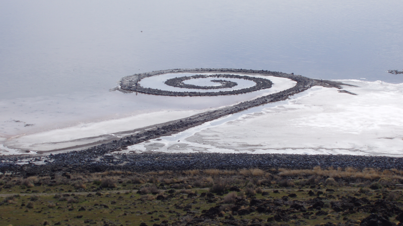
Land art, variously known as Earth art, environmental art, and Earthworks, is an art movement that emerged in the 1960s and 1970s, largely associated with Great Britain and the United StatesArt in the modern era: A guide to styles, schools, & movements. Abrams, 2002. (U.S. edition of Styles, Schools and Movements, by Amy Dempsey) but that also includes examples from many countries. As a trend, "land art" expanded boundaries of art by the materials used and the siting of the works. The materials used were often the materials of the Earth, including the soil, rocks, vegetation, and water found on-site, and the sites of the works were often distant from population centers. Though sometimes fairly inaccessible, photo documentation was commonly brought back to the urban art gallery.http://www.land-arts.com Land art. Concerns of the art mov ... [...More Info...] [...Related Items...] OR: [Wikipedia] [Google] [Baidu] |
Stile
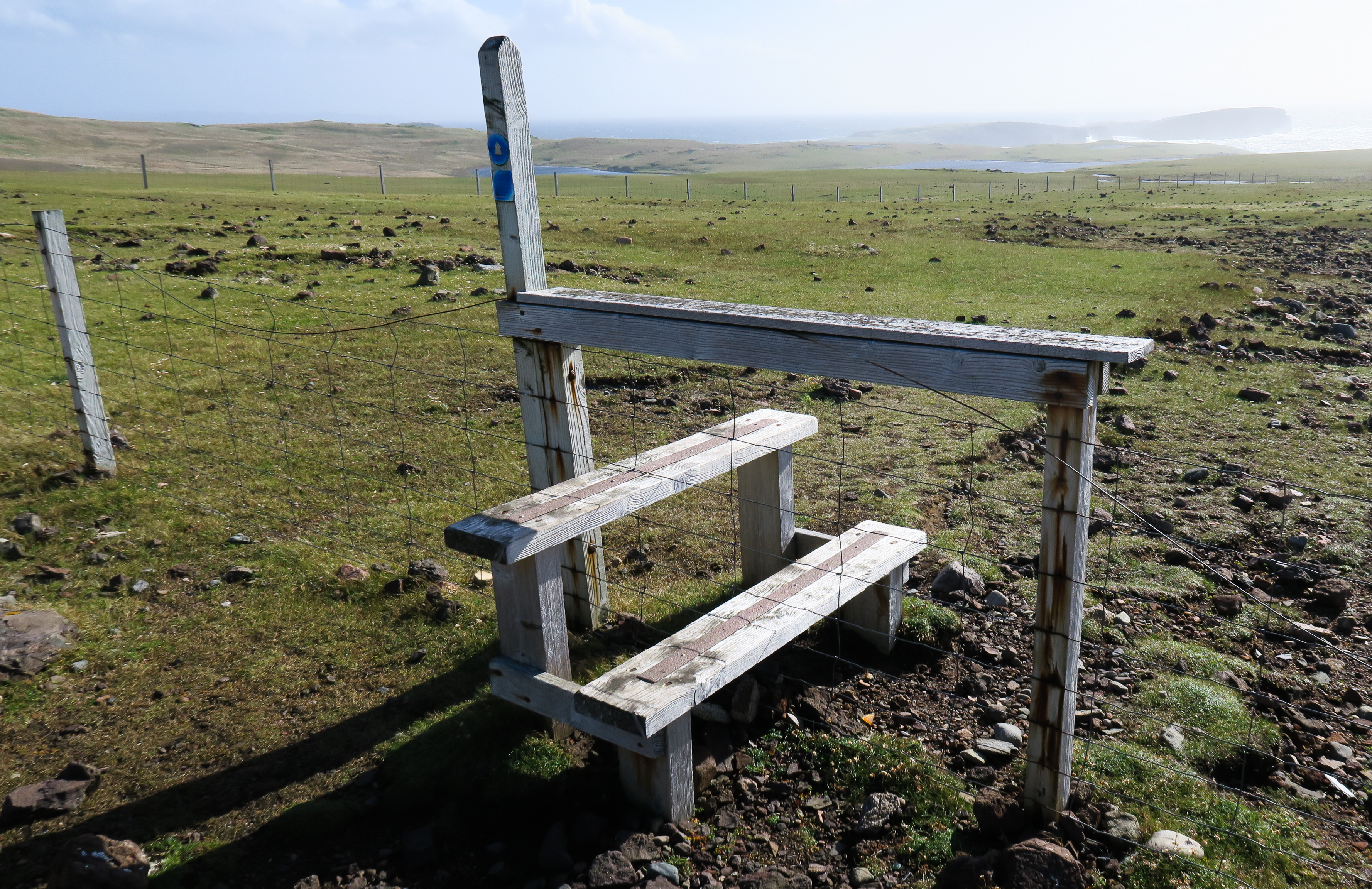
A stile is a structure or opening that provides people passage over or through a boundary via steps, ladders, or narrow gaps. Stiles are often built in rural areas along footpaths, fences, walls, or hedges that enclose animals, allowing people to move freely. Types In the United Kingdom many stiles were built under legal compulsion (see Rights of way in the United Kingdom). Recent changes in UK government policy towards farming have encouraged upland landowners to make access more available to the public, and this has seen an increase in the number of stiles and an improvement in their overall condition. However stiles are deprecatedBritish Standard BS5709:2018 Gaps Gates & Stiles () and are increasingly being replaced by gates or kissing gates or, where the field is arable, the stile removed. Many legacy stiles remain, however, in a variety of forms (as is also the case in the US, where there is no standard). As well as having a variety of forms, stiles also sometimes inclu ... [...More Info...] [...Related Items...] OR: [Wikipedia] [Google] [Baidu] |
Long-distance Footpaths In Scotland
This page lists long-distance footpaths in Scotland. Scottish Natural Heritage have defined such paths as meaning a route that is at least long and primarily off-road, or on quieter roads and tracks. This definition is consistent with that of the British Long Distance Walkers Association. Classification Under Scots law the public has a right to responsible access to most land in Scotland, in accordance with the Scottish Outdoor Access Code, and access rights for new routes do not generally require to be negotiated. Many named walks have therefore been developed by local authorities, tourist organisations and guidebook authors. There is thus no single register or list of such paths, however some classifications have been developed by Scottish Natural Heritage (SNH): *Scotland's Great Trails: these are routes judged as meeting standards defined by Scottish Natural Heritage. There are 29 such routes, offering over of trails in total. Each of the routes is clearly waymarked wi ... [...More Info...] [...Related Items...] OR: [Wikipedia] [Google] [Baidu] |
Horseriding
Equestrianism (from Latin , , , 'horseman', 'horse'), commonly known as horse riding (Commonwealth English) or horseback riding (American English), includes the disciplines of riding, driving, and vaulting. This broad description includes the use of horses for practical working purposes, transportation, recreational activities, artistic or cultural exercises, and competitive sport. Overview of equestrian activities Horses are trained and ridden for practical working purposes, such as in police work or for controlling herd animals on a ranch. They are also used in competitive sports including dressage, endurance riding, eventing, reining, show jumping, tent pegging, vaulting, polo, horse racing, driving, and rodeo (see additional equestrian sports listed later in this article for more examples). Some popular forms of competition are grouped together at horse shows where horses perform in a wide variety of disciplines. Horses (and other equids such as mules) are used f ... [...More Info...] [...Related Items...] OR: [Wikipedia] [Google] [Baidu] |
Mountain Bike
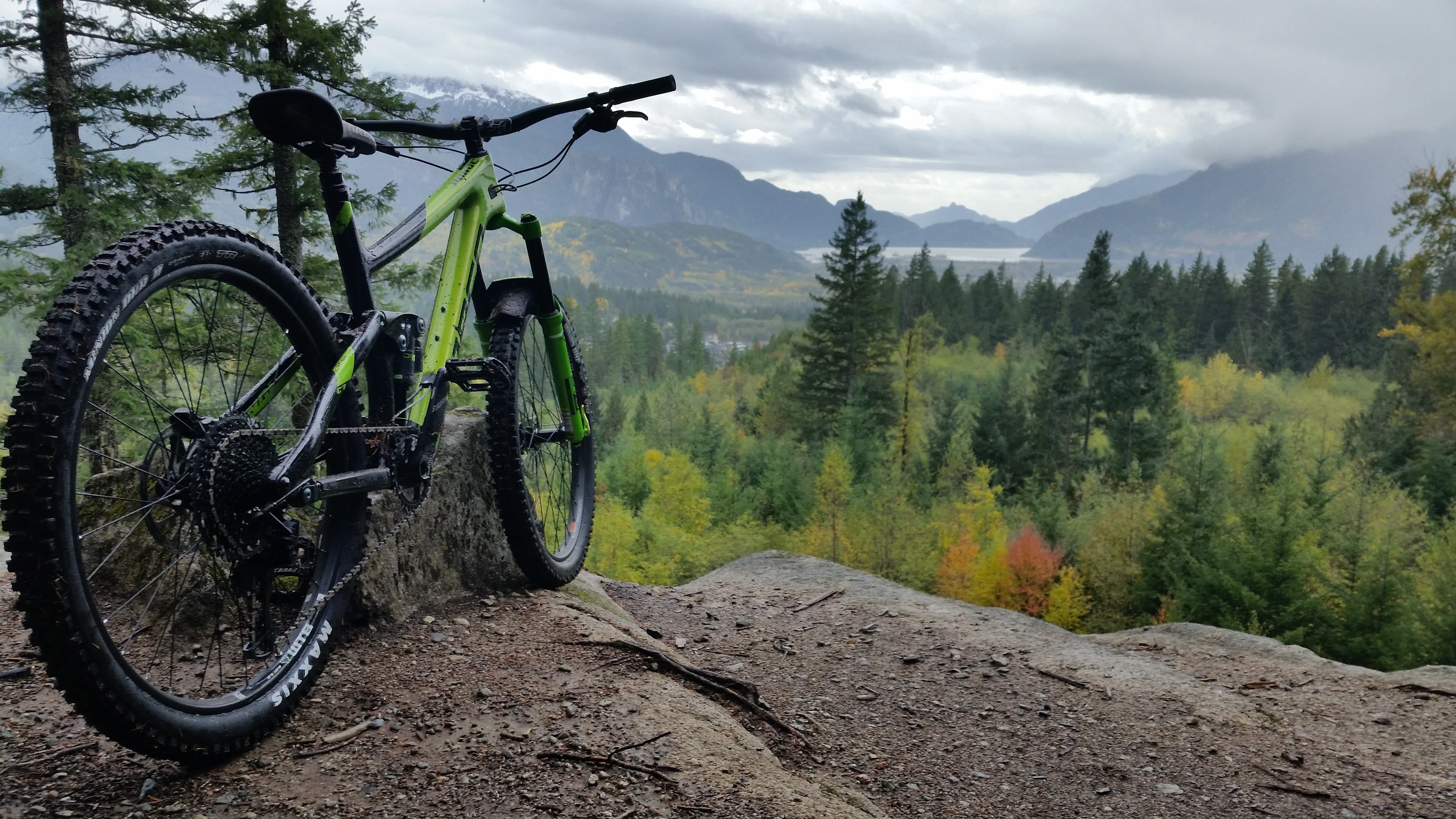
A mountain bike (MTB) or mountain bicycle is a bicycle designed for off-road cycling. Mountain bikes share some similarities with other bicycles, but incorporate features designed to enhance durability and performance in rough terrain, which makes them heavier, more complex and less efficient on smooth surfaces. These typically include a suspension fork, large knobby tires, more durable wheels, more powerful brakes, straight, extra wide handlebars to improve balance and comfort over rough terrain, and wide-ratio gearing optimised for topography and application (e.g., steep climbing or fast descending). Rear suspension is ubiquitous in heavier-duty bikes and now common even in lighter bikes. Dropper posts can be installed to allow the rider to quickly adjust the seat height (an elevated seat position is more effective for pedaling, but poses a hazard in aggressive maneuvers). Mountain bikes are generally specialized for use on mountain trails, single track, fire roads, and ... [...More Info...] [...Related Items...] OR: [Wikipedia] [Google] [Baidu] |
Ordnance Survey
Ordnance Survey (OS) is the national mapping agency for Great Britain. The agency's name indicates its original military purpose (see ordnance and surveying), which was to map Scotland in the wake of the Jacobite rising of 1745. There was also a more general and nationwide need in light of the potential threat of invasion during the Napoleonic Wars. Since 1 April 2015 Ordnance Survey has operated as Ordnance Survey Ltd, a government-owned company, 100% in public ownership. The Ordnance Survey Board remains accountable to the Secretary of State for Business, Energy and Industrial Strategy. It was also a member of the Public Data Group. Paper maps for walkers represent only 5% of the company's annual revenue. It produces digital map data, online route planning and sharing services and mobile apps, plus many other location-based products for business, government and consumers. Ordnance Survey mapping is usually classified as either " large-scale" (in other words, more detail ... [...More Info...] [...Related Items...] OR: [Wikipedia] [Google] [Baidu] |
South Lanarkshire
gd, Siorrachd Lannraig a Deas , image_skyline = , image_flag = , image_shield = Arms_slanarkshire.jpg , image_blank_emblem = Slanarks.jpg , blank_emblem_type = Council logo , image_map = , map_caption = , coordinates = , seat_type = Admin HQ , seat = Hamilton , government_footnotes = , governing_body = South Lanarkshire Council , leader_title = Control , leader_name = Labour minority (council NOC) , leader_title1 = MPs , leader_name1 = * David Mundell ( Dumfriesshire, Clydesdale and Tweeddale) * Lisa Cameron ( East Kilbride, Strathaven and Lesmahagow) * Angela Crawley ( Lanark and Hamilton East) * Margaret Ferrier ( Rutherglen and Hamilton West) , subdivision_type = Sovereign state , subdivision_name = United Kingdom , subdivision_type1 = , su ... [...More Info...] [...Related Items...] OR: [Wikipedia] [Google] [Baidu] |
Lowther Hills
The Lowther Hills, also sometimes known as the Lowthers, are an extensive area of hill country in the Southern Uplands of Scotland, though some sub-ranges of hills in this area also go under their own local names - see "Hillwalking" below. They form a roughly rhomboidal or lozenge shape on the map with the acute angles being to north and south. It has river valleys along its boundaries to north east (Clydesdale) and south west ( Nithsdale) which carry the two largest arterial routes northwards into the west side of the Central Belt of Scotland. A string of small towns have long since developed along these routes. Most of the Lowther Hills lie in the Administrative County of Dumfries and Galloway, though part in the administrative county of South Lanarkshire moves into them around the village of Leadhills and the Daer Reservoir. Etymology There is some obscurity surrounding the name ''Lowther''. Derivation from the early Irish ''lothur'' meaning "a canal, a trench", in this sen ... [...More Info...] [...Related Items...] OR: [Wikipedia] [Google] [Baidu] |
Scottish Borders Council
Scottish usually refers to something of, from, or related to Scotland, including: *Scottish Gaelic, a Celtic Goidelic language of the Indo-European language family native to Scotland *Scottish English *Scottish national identity, the Scottish identity and common culture *Scottish people, a nation and ethnic group native to Scotland *Scots language, a West Germanic language spoken in lowland Scotland *Symphony No. 3 (Mendelssohn), a symphony by Felix Mendelssohn known as ''the Scottish'' See also *Scotch (other) *Scotland (other) *Scots (other) *Scottian (other) *Schottische The schottische is a partnered country dance that apparently originated in Bohemia. It was popular in Victorian era ballrooms as a part of the Bohemian folk-dance craze and left its traces in folk music of countries such as Argentina (" chotis" ... * {{disambiguation Language and nationality disambiguation pages ca:Escocès ... [...More Info...] [...Related Items...] OR: [Wikipedia] [Google] [Baidu] |


