|
South Harz Karst Landscape Biosphere Reserve
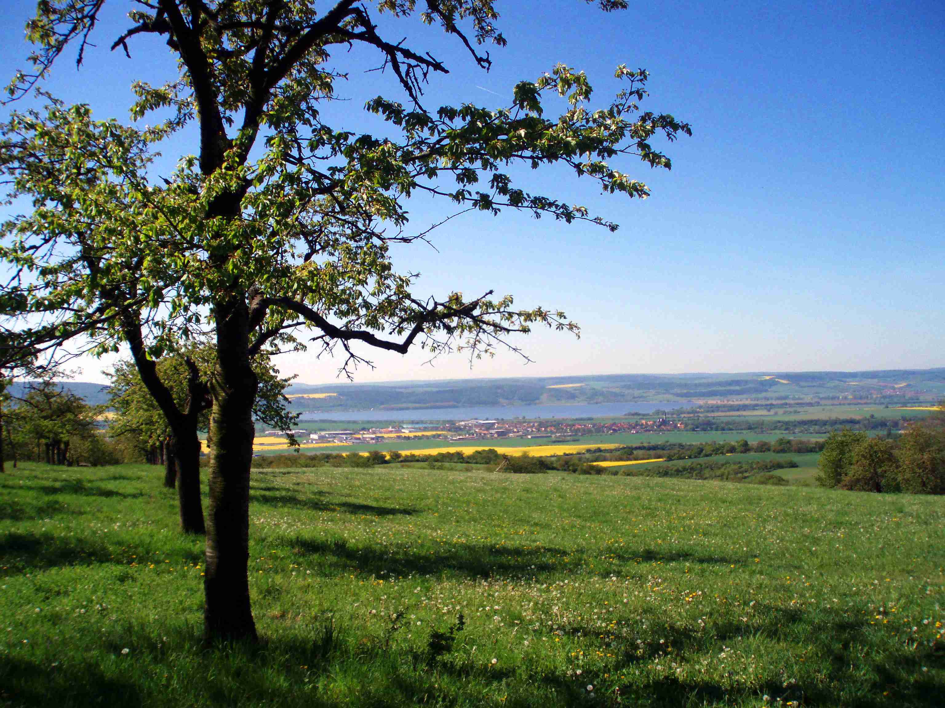
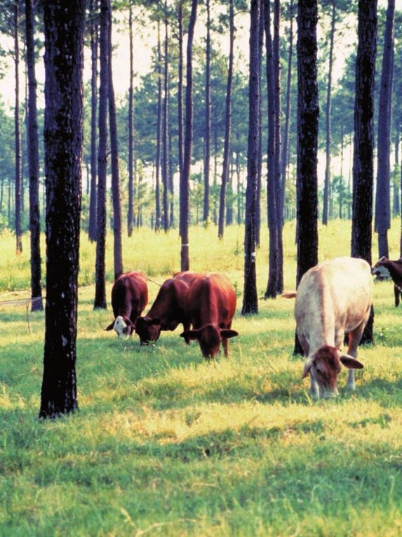
The South Harz Karst Landscape Biosphere Reserve (german: Biosphärenreservat Karstlandschaft Südharz) is a biosphere reserve in the German state of Saxony-Anhalt. It was founded on 23 March 2009 and is thus the 16th biosphere reserve in Germany. Its recognition by UNESCO is pending. Geography The biosphere reserve has an area of 30,034 hectares and lies in the county of Mansfeld-Südharz on the territory of the towns of Allstedt and Sangerhausen and the municipalities of Berga, Südharz and Wallhausen. It runs from the southern edge of the Harz Mountains from the state border with Lower Saxony to the southern foothills of the Mansfeld Uplands in Pölsfeld. The gypsum karst landscape with its Zechstein deposits features caves, sink-holes, dolines, ponors and karst springs. As well as beech woods, there is a roughly 1000-year-old cultural landscape on the steep southern slopes of the South Harz with wood pastures, calcareous grassland and meadows with scattered fruit tr ... [...More Info...] [...Related Items...] OR: [Wikipedia] [Google] [Baidu] |
Alter Stolberg - Karstwanderweg Graben (2)
Alter may refer to: * Alter (name), people named Alter * Alter (automobile) * Alter (crater), a lunar crater * Alter Channel, a Greek TV channel * Archbishop Alter High School, a Roman Catholic high school in Kettering, Ohio * ALTER, a command in older implementations of COBOL * Alter ego, or "alter" in popular usage, a "second self" * Alter (SQL) * ''Alter'' (album), 2002 album by Floater * ''Alter'', a 2006 remix album by Swiss band Knut Knut (Norwegian language, Norwegian and Swedish language, Swedish), Knud (Danish language, Danish), or Knútur (Icelandic) is a Scandinavian, German language, German, and Dutch language, Dutch first name, of which the anglicised form is Canute. ... * "Alter", a song from the 1994 album '' Glow'', by Raven See also * Altar (other) {{disambiguation ... [...More Info...] [...Related Items...] OR: [Wikipedia] [Google] [Baidu] |
Zechstein
The Zechstein (German either from ''mine stone'' or ''tough stone'') is a unit of sedimentary rock layers of Middle to Late Permian (Guadalupian to Lopingian) age located in the European Permian Basin which stretches from the east coast of England to northern Poland. The name Zechstein was formerly also used as a unit of time in the geologic timescale, but nowadays it is only used for the corresponding sedimentary deposits in Europe. The Zechstein lies on top of the Rotliegend; on top of the Zechstein is the Buntsandstein or Bunter. Formation The evaporite rocks of the Zechstein formation were laid down by the Zechstein Sea, an epicontinental or epeiric sea that existed in the Guadalupian and Lopingian epochs of the Permian period. The Zechstein Sea occupied the region of what is now the North Sea, plus lowland areas of Britain and the north European plain through Germany and Poland. The Zechstein sea lay in the rain shadow of the Central Pangean Mountains to the south. At times ... [...More Info...] [...Related Items...] OR: [Wikipedia] [Google] [Baidu] |
Bösenrode
Berga is a municipality in the Mansfeld-Südharz district, Saxony-Anhalt, Germany. The municipality consists of three villages: * Berga * Bösenrode * Rosperwenda Berga-Kelbra station, which is on the Halle–Hann. Münden railway is located in Berga. References Mansfeld-Südharz {{MansfeldSüdharz-geo-stub ... [...More Info...] [...Related Items...] OR: [Wikipedia] [Google] [Baidu] |
Karst Trail
The Karst Trail (german: Karstwanderweg) is a marked and signed footpath that runs for over 250 kilometres between Förste in Lower Saxony and Pölsfeld in Saxony-Anhalt through the karst landscape of the Harz, South Harz in Germany. The path runs past a number of areas of natural beauty, including caves like the Heimkehle and the Barbarossa Cave, sinkholes like the Juessee and the Schwimmende Insel (bei Pöhlde), Schwimmende Insel, depressions, moor landscapes like the Teufelsbäder, karst springs like the Rhumequelle and the Teufelsloch (Teufelsbäder), Teufelsloch, Losing stream, disappearing streams and subterranean rivers like the Bauerngraben (Harz), Bauerngraben and gypsum rocks. External linksHomepage of the Karst Trail [...More Info...] [...Related Items...] OR: [Wikipedia] [Google] [Baidu] |
Protected Landscape
Protection is any measure taken to guard a thing against damage caused by outside forces. Protection can be provided to physical objects, including organisms, to systems, and to intangible things like civil and political rights. Although the mechanisms for providing protection vary widely, the basic meaning of the term remains the same. This is illustrated by an explanation found in a manual on electrical wiring: Some kind of protection is a characteristic of all life, as living things have evolved at least some protective mechanisms to counter damaging environmental phenomena, such as ultraviolet light. Biological membranes such as bark on trees and skin on animals offer protection from various threats, with skin playing a key role in protecting organisms against pathogens and excessive water loss. Additional structures like scales and hair offer further protection from the elements and from predators, with some animals having features such as spines or camouflage servin ... [...More Info...] [...Related Items...] OR: [Wikipedia] [Google] [Baidu] |
Natura 2000
Natura 2000 is a network of nature protection areas in the territory of the European Union. It is made up of Special Areas of Conservation and Special Protection Areas designated under the Habitats Directive and the Birds Directive, respectively. The network includes both terrestrial and Marine Protected Areas. History In May 1992, the governments of the European Communities adopted legislation designed to protect the most seriously threatened habitats and species across Europe. The Habitats Directive complements the Birds Directive adopted earlier in 1979 and together they make up the Natura 2000 network of protected areas. The Birds Directive requires the establishment of Special Protection Areas for birds. The Habitats Directive similarly requires Sites of Community Importance which upon the agreement of the European Commission become Special Areas of Conservation to be designated for species other than birds, and for habitat types (e.g. particular types of forest, grassland ... [...More Info...] [...Related Items...] OR: [Wikipedia] [Google] [Baidu] |
Alter Stolberg
The Alter Stolberg is a wooded karst plateau, up to , in the South Harz in Central Germany. It lies in the districts of Nordhausen in the state of Thuringia and Mansfeld-Südharz in the state of Saxony-Anhalt. Geographical location The ridge of the Alter Stolberg is part of the South Harz Zechstein belt and lies mainly in Thuringia; with its eastern foothills dropping into the valley of the Krebsbach stream and Thyra river. To the north is the Harz; to the south the Goldene Aue through which the River Helme flows. The Alter Stolberg lies between the following parishes in clockwise order: Görsbach and Urbach to the south, Leimbach and Steigerthal to the west, Buchholz and Herrmannsacker to northwest, Stempeda and − on the other sides of that − Rodishain to the north (all in Thuringia) and the Saxony-Anhalt villages of Rottleberode and Uftrungen to the east. The highest hill in the Alter Stolberg is the ''Königskopf'' () which rises in the northern part of the r ... [...More Info...] [...Related Items...] OR: [Wikipedia] [Google] [Baidu] |
Nature Reserves Of Germany
A ''Naturschutzgebiet'' (abbreviated NSG) is a category of protected area (nature reserve) within Germany's Federal Nature Conservation Act (the ''Bundesnaturschutzgesetz'' or ''BNatSchG''). Although often translated as 'Nature Reserve' in English, the Federal Agency for Nature Conservation (BfN) refers to them as 'Nature Conservation Areas'. It meets the criteria of an IUCN Category IV Habitat and Species Management Area.https://www.bfn.de/fileadmin/MDB/documents/themen/gebietsschutz/IUCN_Kat_Schutzgeb_Richtl_web.pdf Document of the Federal Agency for Nature Conservation of Germany Points of law The use of the term ''Naturschutzgebiet'' or terms that could be confused with it for anything other than the legally protected areas is forbidden under this law. Signage Because legal restrictions are placed on activity within German nature reserves they have to be signed on the ground. Only by this means can e.g. walkers know that they are entering a nature reserve and may not ... [...More Info...] [...Related Items...] OR: [Wikipedia] [Google] [Baidu] |
Calcareous Grassland
Calcareous grassland (or alkaline grassland) is an ecosystem associated with thin basic soil, such as that on chalk and limestone downland. Plants on calcareous grassland are typically short and hardy, and include grasses and herbs such as clover. Calcareous grassland is an important habitat for insects, particularly butterflies and ants, and is kept at a plagioclimax by grazing animals, usually sheep and sometimes cattle. Rabbits used to play a part but due to the onset of myxomatosis their numbers decreased so dramatically that they no longer have much of a grazing effect. There are large areas of calcareous grassland in northwestern Europe, particularly areas of southern England, such as Salisbury Plain and the North and South Downs. The machair forms a different kind of calcareous grassland, where fertile low-lying plains are formed on ground that is calcium-rich due to shell sand (pulverised sea shells). See also * Alvar * Chalk heath * Edaphic * Gypcrust * Gypsum flora ... [...More Info...] [...Related Items...] OR: [Wikipedia] [Google] [Baidu] |
Wood Pasture
Silvopasture (''silva'' is forest in Latin) is the practice of integrating trees, forage, and the grazing of domesticated animals in a mutually beneficial way. It utilizes the principles of managed grazing, and it is one of several distinct forms of agroforestry. Properly managed silvopasture (grazed woodland) can increase overall productivity and long-term income due to the simultaneous production of tree crops, forage, and livestock, and can provide environmental benefits such as carbon sequestration. Silvopasture is one of the oldest known forms of agriculture, and has been practiced in many parts of the world for centuries. Silvopasture is not the same as unmanaged grazing in woodlands, which has many known negative environmental consequences. Benefits Open pasture systems are a result of mass deforestation, generating the loss of carbon storage, decreasing water availability, and increasing soil nutrients to a point that is damaging both to the ecosystem and to humans. ... [...More Info...] [...Related Items...] OR: [Wikipedia] [Google] [Baidu] |
Beech
Beech (''Fagus'') is a genus of deciduous trees in the family Fagaceae, native to temperate Europe, Asia, and North America. Recent classifications recognize 10 to 13 species in two distinct subgenera, ''Engleriana'' and ''Fagus''. The ''Engleriana'' subgenus is found only in East Asia, distinctive for its low branches, often made up of several major trunks with yellowish bark. The better known ''Fagus'' subgenus beeches are high-branching with tall, stout trunks and smooth silver-grey bark. The European beech (''Fagus sylvatica'') is the most commonly cultivated. Beeches are monoecious, bearing both male and female flowers on the same plant. The small flowers are unisexual, the female flowers borne in pairs, the male flowers wind-pollinating catkins. They are produced in spring shortly after the new leaves appear. The fruit of the beech tree, known as beechnuts or mast, is found in small burrs that drop from the tree in autumn. They are small, roughly triangular, and edible, w ... [...More Info...] [...Related Items...] OR: [Wikipedia] [Google] [Baidu] |
Karst Spring
A karst spring or karstic spring is a spring (outflow of groundwater) that is part of a karst hydrological system. Description Because of their often conical or inverted bowl shape, karst springs are also known in German-speaking lands as a ''Topf'' ("pot") which is reflected in names such as Aachtopf (the source of the Radolfzeller Aach) or Blautopf (the source of the Blau river in Blaubeuren). Karst springs often have a very high yield or discharge rate, because they are often fed by underground drainage from a large catchment basin. Because the springs are usually the terminus of a cave drainage system at the place where a river cave reaches the Earth's surface, it is often possible to enter the caves from karst springs for exploration. Large karst springs are located in many parts of the world; the largest ones are believed to be in Papua New Guinea, with others located in Mediterranean countries such as Bosnia and Herzegovina, Croatia, Turkey, Slovenia, and Italy. Types ... [...More Info...] [...Related Items...] OR: [Wikipedia] [Google] [Baidu] |


