|
Souli
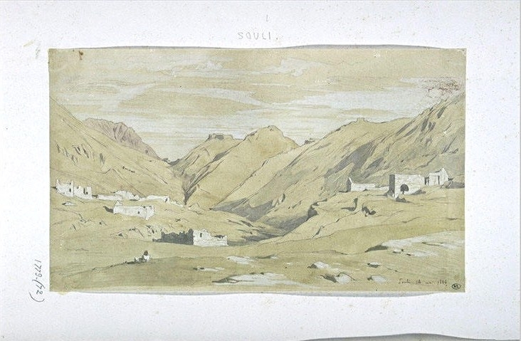
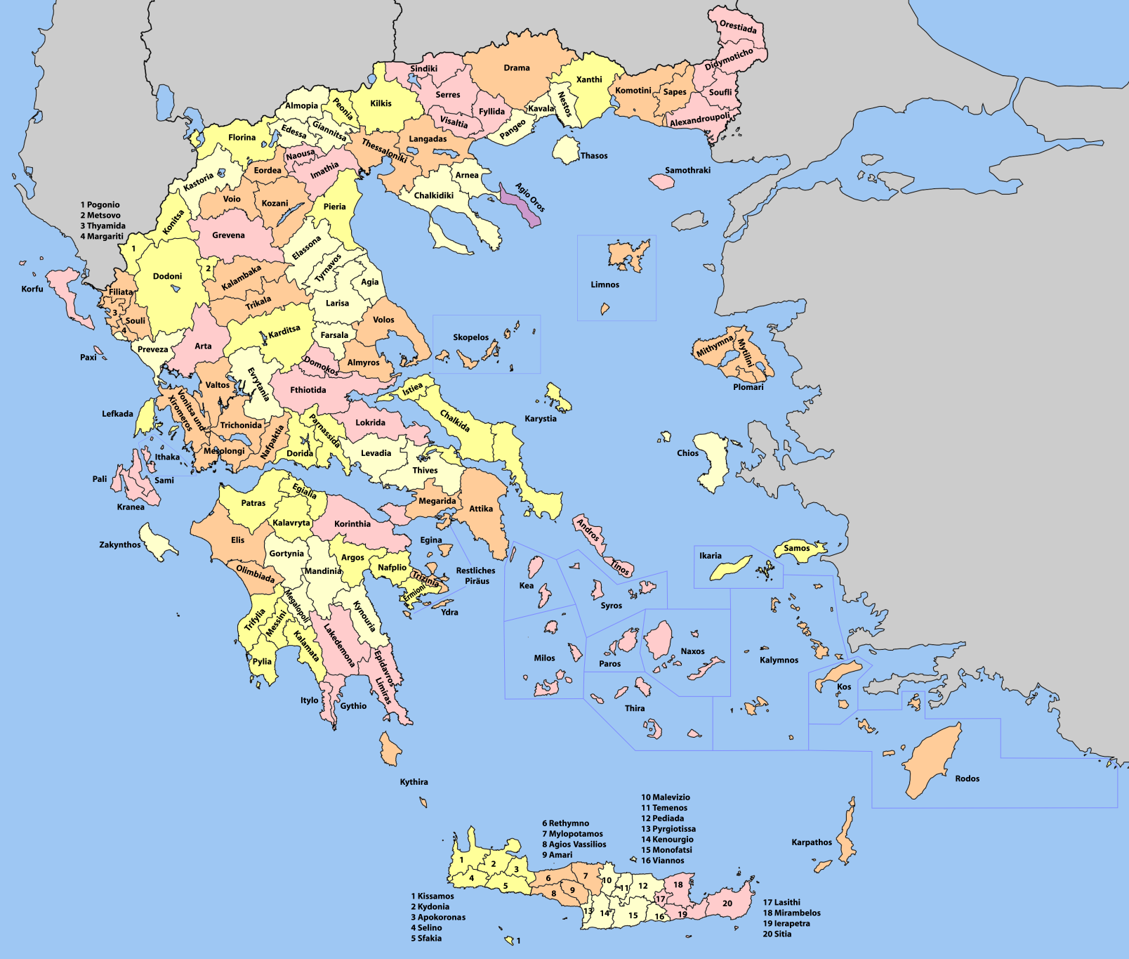
Souli ( el, Σούλι) is a municipality in Epirus, northwestern Greece. The seat of the municipality is the town of Paramythia. Name and History The origin of the name Souli is uncertain. In the earliest historical text about Souli, written by Christoforos Perraivos in 1803, an oral tradition of the locals is recorded. According to this, the first settlers of Souli were shepherds who came from a village called Gardiki trying to avoid the Ottoman oppression. A certain Muslim ("Turk" in the text) named Soulis attempted to expel the early Souliotes from there but the latter resisted with arms. In the battle they killed Soulis and since then the area was named Souli. Another theory suggests that the name comes from Albanian and means 'mountain summit'. The municipality owes its name to the villages of Souli that are located in the southern part of this region. Those villages were originally settled by the Souliotes, a warlike Orthodox community who sought refuge in the mountaino ... [...More Info...] [...Related Items...] OR: [Wikipedia] [Google] [Baidu] |
Souliotes
The Souliotes were an Orthodox Christian Albanian tribal community in the area of Souli in Epirus from the 16th century to the beginning of the 19th century, who via their participation in the Greek War of Independence came to identify with the Greek nation. They originated from Albanian clans that settled in the highlands of Thesprotia in the Late Middle Ages and established an autonomous confederation dominating a large number of neighboring villages in the mountainous areas of Epirus, where they successfully resisted Ottoman rule for many years. At the height of its power, in the second half of the 18th century, the Souliote confederacy is estimated to have consisted of up to 4,500 inhabitants. After the revolution, they migrated to and settled in newly independent Greece, and assimilated into the Greek people. The Souliotes were followers of the Ecumenical Patriarchate of Constantinople. They spoke the Souliotic dialect of Albanian and learnt Greek through their interactio ... [...More Info...] [...Related Items...] OR: [Wikipedia] [Google] [Baidu] |
Christoforos Perraivos
Christoforos Perraivos ( el, Χριστόφορος Περραιβός) was a Greek officer of the Greek War of Independence, member of the Filiki Eteria and author. In non-Greek sources his name is usually found as ''Per(r)evo(s).'' Biography Perraivos was born on 3 April 1773 in the village of Palioi Poroi, Pieria. His family name was Hatzivasiliou (Χατζηβασιλείου), but adopted the nickname “Perraivos” alluding to the Perrhaebi, an ancient Greek tribe of Thessaly. It is believed that he was an illegitimate son of a certain monk Hieronymos, an official at the Metropolis of Larissa. In 1793, with the help of the said Hieronymos, he left Greece to study at the Greek School in Bucharest and in 1796 to study medicine in Vienna. There he met the Greek humanist and revolutionary Rigas Feraios and entered an underground revolutionary organization. In 1797 Perraivos was arrested with Rigas and others by the Austrian authorities in Trieste but, unlike Rigas Feraios w ... [...More Info...] [...Related Items...] OR: [Wikipedia] [Google] [Baidu] |
Paramythia
Paramythia ( el, Παραμυθιά) is a town and a former municipality in Thesprotia, Epirus (region), Epirus, Greece. Since the 2011 local government reform it is part of the municipality Souli, of which it is the seat and a municipal unit. The municipal unit has an area of 342.197 km2. The town's population is 2,730 as of the 2011 census. Paramythia acts as a regional hub for several small villages in the Valley of Paramythia and features shops, schools, a gym, a stadium and a medical center. Primary aspects of the economy are agriculture and trade. The town is built on the slopes of Mount Gorilla and overlooks the valley, below. The Castle of Paramythia was built on a hill in one of the highest points of the town during the Byzantine Empire, Byzantine period and today is open to tourists. The modern Egnatia Odos (modern road), Egnatia Highway which links Igoumenitsa with Ioannina, goes through the valley, north of the town of Paramythia. Name During the Byzantine and m ... [...More Info...] [...Related Items...] OR: [Wikipedia] [Google] [Baidu] |
Thesprotia
Thesprotia (; el, Θεσπρωτία, ) is one of the regional units of Greece. It is part of the Epirus region. Its capital and largest town is Igoumenitsa. Thesprotia is named after the Thesprotians, an ancient Greek tribe that inhabited the region in antiquity. History Thesprotia was part of the proto-Greek region in the late Bronze Age in which Greek archaic toponyms are were densely found. In antiquity, the territory of modern Thesprotia was inhabited by the ancient Greek tribe of Thesprotians and was bordered by the neighboring regions of Molossia to the north and Chaonia to the east. Thesprotia was part of the Epirote League before it was annexed by Rome where it became part of the Roman province of Epirus. After the fragmentation of the Roman Empire into East and West, it was part of the Eastern Roman (Byzantine) Empire until the late Middle Ages, except for a period of Bulgarian rule in the 9th-11th centuries. In c. 1430 it fell to the Ottomans. From the 8th-9th unti ... [...More Info...] [...Related Items...] OR: [Wikipedia] [Google] [Baidu] |
Acherontas
Acherontas ( el, Αχέροντας) is a former municipality in Thesprotia, Epirus, Greece. Since the 2011 local government reform it is part of the municipality Souli, of which it is a municipal unit. The municipal unit has an area of 67.343 km2. It was named after the river Acheron The Acheron (; grc, Ἀχέρων ''Acheron'' or Ἀχερούσιος ''Acherousios''; ell, Αχέροντας ''Acherontas'') is a river located in the Epirus region of northwest Greece. It is long, and its drainage area is . Its source is .... Population 2,146 (2011). The seat of the municipality was in Gardiki Souli. References Populated places in Thesprotia {{Epirus-geo-stub ... [...More Info...] [...Related Items...] OR: [Wikipedia] [Google] [Baidu] |
Epirus (region)
Epirus (; el, Ήπειρος, translit=Ípiros, ) is a traditional geographic and modern administrative region in northwestern Greece.Π.Δ. 51/87 “Καθορισμός των Περιφερειών της Χώρας για το σχεδιασμό κ.λ.π. της Περιφερειακής Ανάπτυξης” (''Determination of the Regions of the Country for the planning etc. of the development of the regions, Efimeris tis Kyverniseos ΦΕΚ A 26/06.03.1987'' It borders the regions of Western Macedonia and Thessaly to the east, West Greece to the south, the Ionian Sea and Ionian Islands to the west and Albania to the north. The region has an area of about . It is part of the wider historical region of Epirus, which overlaps modern Albania and Greece but lies mostly within Greek territory. Geography and ecology Greek Epirus, like the region as a whole, is rugged and mountainous. It comprises the land of the ancient Molossians and Thesprotians and a small part of the la ... [...More Info...] [...Related Items...] OR: [Wikipedia] [Google] [Baidu] |
Provinces Of Greece
The provinces of Greece ( el, επαρχία, "eparchy") were sub-divisions of some the country's prefectures of Greece, prefectures. From 1887, the provinces were abolished as actual administrative units, but were retained for some state services, especially financial and educational services, as well as for electoral purposes. Before the Second World War, there were 139 provinces, and after the war, with the addition of the Dodecanese, Dodecanese Islands, their number grew to 147. According to the Article 7 of the Code of Prefectural Self-Government (Presidential Decree 30/1996), the provinces constituted a "particular administrative district" within the wider "administrative district" of the prefectures. The provinces were finally abolished after the 2006 Greek local elections, 2006 local elections, in line with Law 2539/1997, as part of the wide-ranging administrative reform known as the "Kapodistrias reform, Kapodistrias Project", and replaced by enlarged Municipalities and ... [...More Info...] [...Related Items...] OR: [Wikipedia] [Google] [Baidu] |
Greece
Greece,, or , romanized: ', officially the Hellenic Republic, is a country in Southeast Europe. It is situated on the southern tip of the Balkans, and is located at the crossroads of Europe, Asia, and Africa. Greece shares land borders with Albania to the northwest, North Macedonia and Bulgaria to the north, and Turkey to the northeast. The Aegean Sea lies to the east of the Geography of Greece, mainland, the Ionian Sea to the west, and the Sea of Crete and the Mediterranean Sea to the south. Greece has the longest coastline on the Mediterranean Basin, featuring List of islands of Greece, thousands of islands. The country consists of nine Geographic regions of Greece, traditional geographic regions, and has a population of approximately 10.4 million. Athens is the nation's capital and List of cities and towns in Greece, largest city, followed by Thessaloniki and Patras. Greece is considered the cradle of Western culture, Western civilization, being the birthplace of Athenian ... [...More Info...] [...Related Items...] OR: [Wikipedia] [Google] [Baidu] |
Government Gazette (Greece)
The ''Government Gazette'' ( el, Εφημερίς της Κυβερνήσεως, translit=Efimeris tis Kyverniseos, translit-std=ISO, lit=Government Gazette) is the official journal of the Government of Greece which lists all laws passed in a set time period ratified by Cabinet and President. It was first issued in 1833. Until 1835, during the regency on behalf of King Otto, the gazette was bilingual in Greek and German. No law in Greece is valid until is published in this journal. Foundations, duties and rights of juridical persons should be published in this journal. The printed issues of the Government Gazette are sold by the National Printing House of Greece. They can also be searched and downloaded from the official site of the House. An issue of the gazette is called "Government Gazette Issue" (, ''ΦΕΚ'', ''FEK''), Each issue is separated into volumes called «Τεύχος» with distinct roles. References Publications established in 1833 Newspapers published in Gr ... [...More Info...] [...Related Items...] OR: [Wikipedia] [Google] [Baidu] |
Albanian Language
Albanian ( endonym: or ) is an Indo-European language and an independent branch of that family of languages. It is spoken by the Albanians in the Balkans and by the Albanian diaspora, which is generally concentrated in the Americas, Europe and Oceania. With about 7.5 million speakers, it comprises an independent branch within the Indo-European languages and is not closely related to any other modern Indo-European language. Albanian was first attested in the 15th century and it is a descendant of one of the Paleo-Balkan languages of antiquity. For historical and geographical reasons,: "It is often thought (for obvious geographic reasons) that Albanian descends from ancient Illyrian (see above), but this cannot be ascertained as we know next to nothing about Illyrian itself." the prevailing opinion among modern historians and linguists is that the Albanian language is a descendant of a southern Illyrian dialect spoken in much the same region in classical times. Alternativ ... [...More Info...] [...Related Items...] OR: [Wikipedia] [Google] [Baidu] |
Ottoman Greece
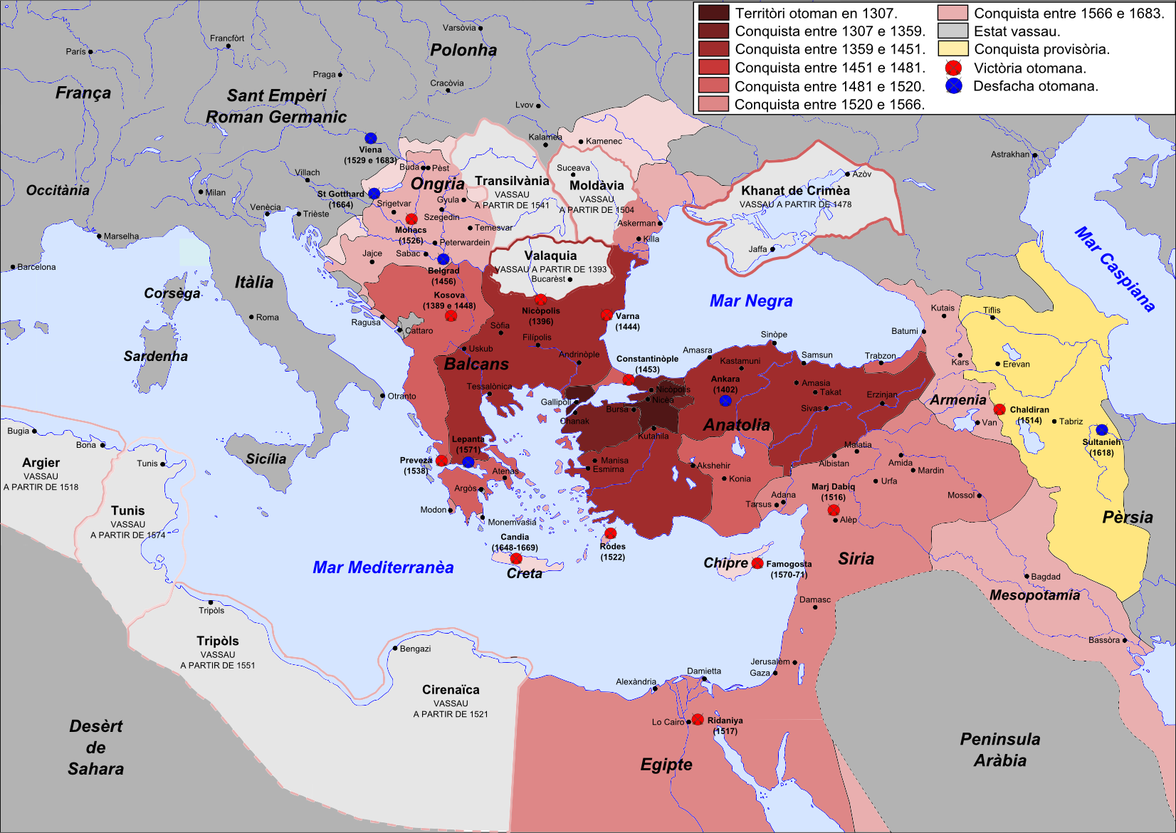
Most of the areas which today are within modern Greece's borders were at some point in the past part of the Ottoman Empire. This period of Ottoman rule in Greece, lasting from the mid-15th century until the successful Greek War of Independence that broke out in 1821 and the proclamation of the First Hellenic Republic in 1822 (preceded by the creation of the autonomous Septinsular Republic in 1800), is known in Greek as ''Tourkokratia'' ( el, Τουρκοκρατία, "Turkish rule"; en, "Turkocracy"). Some regions, however, like the Ionian islands, various temporary Venetian possessions of the Stato da Mar, or Mani peninsula in Peloponnese did not become part of the Ottoman administration, although the latter was under Ottoman suzerainty. The Eastern Roman Empire, the remnant of the ancient Roman Empire which ruled most of the Greek-speaking world for over 1100 years, had been fatally weakened since the sacking of Constantinople by the Latin Crusaders in 1204. The Ottoman ... [...More Info...] [...Related Items...] OR: [Wikipedia] [Google] [Baidu] |
Valley Of The Suli, The Ancient Acheron - Walsh Robert & Allom Thomas - 1836
A valley is an elongated low area often running between hills or mountains, which will typically contain a river or stream running from one end to the other. Most valleys are formed by erosion of the land surface by rivers or streams over a very long period. Some valleys are formed through erosion by glacial ice. These glaciers may remain present in valleys in high mountains or polar areas. At lower latitudes and altitudes, these glacially formed valleys may have been created or enlarged during ice ages but now are ice-free and occupied by streams or rivers. In desert areas, valleys may be entirely dry or carry a watercourse only rarely. In areas of limestone bedrock, dry valleys may also result from drainage now taking place underground rather than at the surface. Rift valleys arise principally from earth movements, rather than erosion. Many different types of valleys are described by geographers, using terms that may be global in use or else applied only locally. For ... [...More Info...] [...Related Items...] OR: [Wikipedia] [Google] [Baidu] |


