|
Slamat Disaster
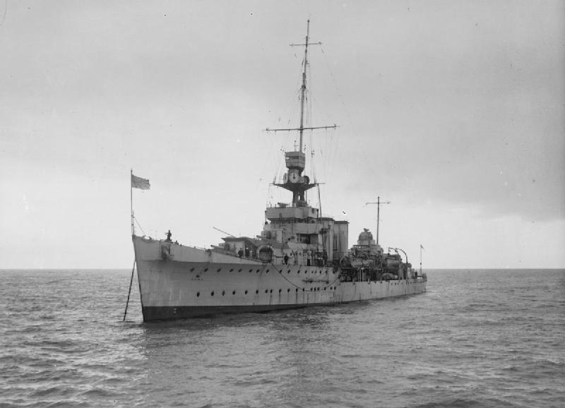
The ''Slamat'' disaster is a succession of three related shipwrecks during the Battle of Greece on 27 April 1941. The Dutch troopship and the Royal Navy destroyers and sank as a result of air attacks by ''Luftwaffe'' Junkers Ju 87 dive bombers. The three ships sank off the east coast of the Peloponnese during Operation Demon, which was the evacuation of British, Australian and New Zealand troops from Greece after their defeat by invading German and Italian forces. The loss of the three ships caused an estimated 983 deaths. Only 66 men survived. Operation Demon On 6 April 1941 Germany and Italy invaded Yugoslavia and Greece. An expeditionary force of British, Australian and New Zealand troops was already in Greece, but they and Greek defenders lost ground to the invaders and by 17 April the British Empire was starting to plan the evacuation of 60,000 troops. ''Slamat'' was a Dutch troop ship, converted from a Koninklijke Rotterdamsche Lloyd ("Royal Dutch Lloyd") ocean liner. ... [...More Info...] [...Related Items...] OR: [Wikipedia] [Google] [Baidu] |
Junkers Ju 87
The Junkers Ju 87 or Stuka (from ''Sturzkampfflugzeug'', "dive bomber") was a German dive bomber and ground-attack aircraft. Designed by Hermann Pohlmann, it first flew in 1935. The Ju 87 made its combat debut in 1937 with the Luftwaffe's Condor Legion during the Spanish Civil War of 1936–1939 and served the Axis in World War II from beginning to end (1939–1945). The aircraft is easily recognisable by its inverted gull wings and fixed spatted undercarriage. Upon the leading edges of its faired main gear legs were mounted ram-air sirens known as ', which became a propaganda symbol of German air power and of the so-called ''Blitzkrieg'' victories of 1939–1942, as well as providing Stuka pilots with audible feedback as to speed. The Stuka's design included several innovations, including automatic pull-up dive brakes under both wings to ensure that the aircraft recovered from its attack dive even if the pilot blacked out from the high g-forces. The Ju 87 operated with c ... [...More Info...] [...Related Items...] OR: [Wikipedia] [Google] [Baidu] |
List Of World War II Convoy Codes
This is a list of convoy codes used by the Allies during World War II There were over 300 convoy routes organized, in all areas of the world; each was designated by a two- or three letter code. List of Allied convoys during World War II by region provides additional information. __NOTOC__ A - B - C - D - E - F - G - H - I - J - K - L - M - N - O - P - Q - R - S - T - U - V - W - X - Y - Z A B C , , Jul 1940 to Jun 1944 , , "Channel Westward"; 270 coastal convoys; reverse CE , - , CX , , Colombo Colombo ( ; si, කොළඹ, translit=Koḷam̆ba, ; ta, கொழும்பு, translit=Koḻumpu, ) is the executive and judicial capital and largest city of Sri Lanka by population. According to the Brookings Institution, Colombo m ... to Addu Atoll , , Apr 1943 to Feb 1945 , , , - , CZ , , Curaçao to Cristobal , , Sep 1942 to Feb 1943 , , "Curaçao to Panama Canal Zone"; reverse ZC D E F G H I J K L ... [...More Info...] [...Related Items...] OR: [Wikipedia] [Google] [Baidu] |
Souda Bay
Souda Bay is a bay and natural harbour near the town of Souda on the northwest coast of the Greece, Greek island of Crete. The bay is about 15 km long and only two to four km wide, and a deep natural harbour. It is formed between the Akrotiri (Crete), Akrotiri peninsula and Cape Drapano, and runs west to east. The bay is overlooked on both sides by hills, with a relatively low and narrow isthmus in the west near Chania. Near the mouth of Souda bay, between the Akrotiri and the town of Kalives, there is a group of small islands with Venice, Venetian fortifications. The largest island is Souda Island, giving its name to the bay. Souda Bay is now a popular tourist destination although there are no formal public beaches designed in the area, due to the presence of the Crete Naval Base, a major naval installation of the Hellenic Navy and NATO in the eastern Mediterranean. Villages such as Megala Chorafia and Kalives afford fine views of the bay, and house-building, particular ... [...More Info...] [...Related Items...] OR: [Wikipedia] [Google] [Baidu] |
Monemvasia
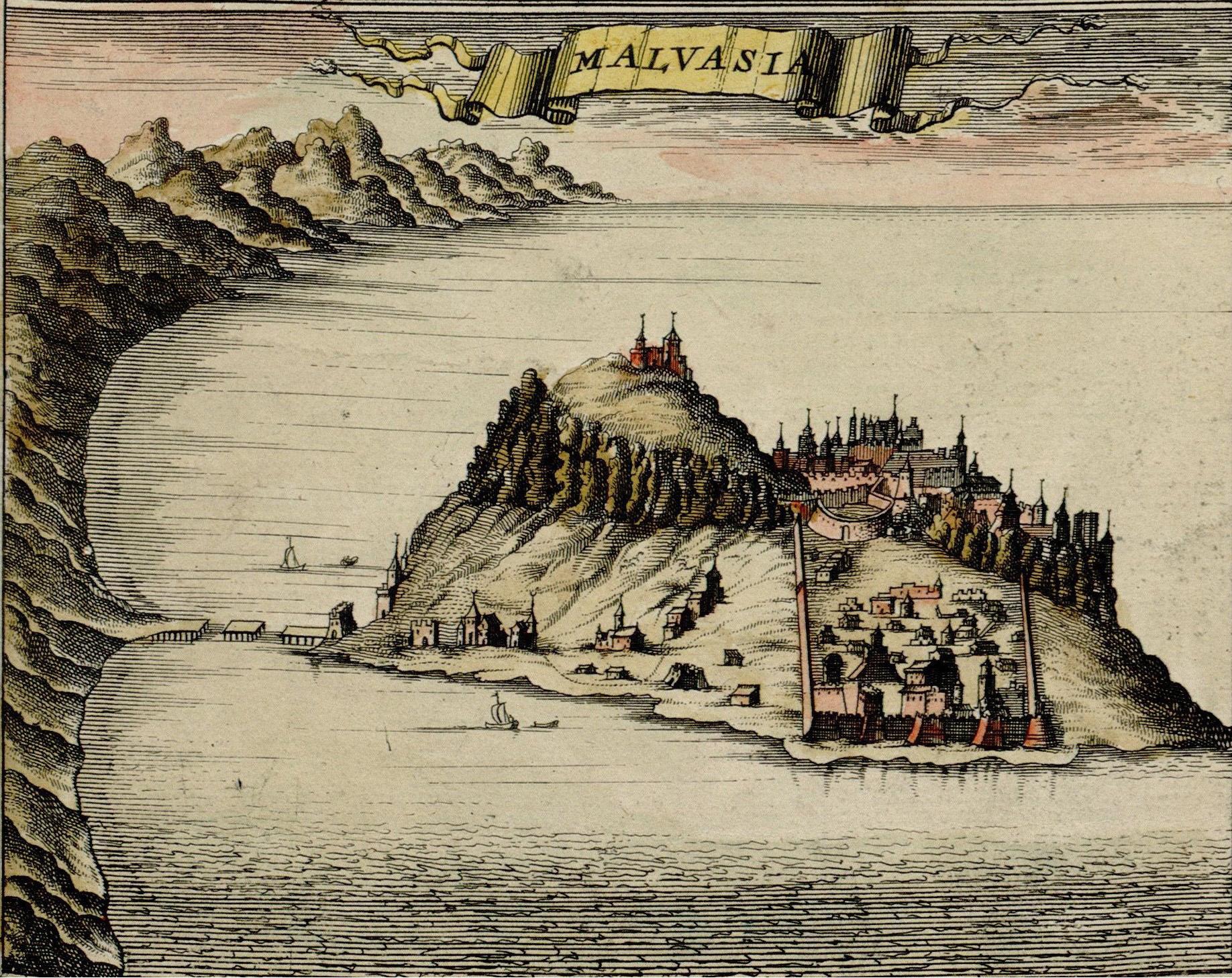
Monemvasia ( el, Μονεμβασιά, Μονεμβασία, or ) is a town and municipality in Laconia, Greece. The town is located on a small island off the east coast of the Peloponnese, surrounded by the Myrtoan Sea. The island is connected to the mainland by a short causeway in length. Its area consists mostly of a large plateau some above sea level, up to wide and long. Founded in the sixth century, and thus one of the oldest continually-inhabited fortified towns in Europe, the town is the site of a once-powerful medieval fortress, and was at one point one of the most important commercial centres in the Eastern Mediterranean. The town's walls and many Byzantine churches remain as testaments to the town's history. Today, the seat of the municipality of Monemvasia is the town of Molaoi. Etymology The town's name derives from two Greek words, (, 'single') and ''emvasis'' (, 'approach'), together meaning "city of the single approach, or entrance". Its Italian form, ''Mal ... [...More Info...] [...Related Items...] OR: [Wikipedia] [Google] [Baidu] |
Landing Craft Assault
Landing Craft Assault (LCA) was a landing craft used extensively in World War II. Its primary purpose was to ferry troops from transport ships to attack enemy-held shores. The craft derived from a prototype designed by John I. Thornycroft Ltd. of Woolston, Hampshire, UK. During the war it was manufactured throughout the United Kingdom in places as various as small boatyards and furniture manufacturers. Typically constructed of hardwood planking and selectively clad with armour plate, this shallow-draft, barge-like boat with a crew of four could ferry an infantry platoon of 31 and five additional specialist troops, to shore at 7 knots (13 km/h). Men generally entered the boat by walking over a gangplank from the boat deck of a troop transport as the LCA hung from its davits. When loaded, the LCA was lowered into the water. Soldiers exited by the boat's bow ramp. The LCA was the most common British and Commonwealth landing craft of World War II. Prior to July 1942, the ... [...More Info...] [...Related Items...] OR: [Wikipedia] [Google] [Baidu] |
Glen Line
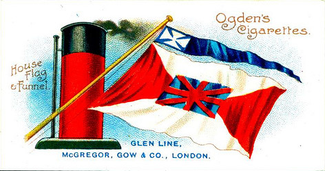
Glen Line was a UK shipping line that was founded in Glasgow in 1867. Its head office was later moved first to London and then to Liverpool. History The firm had its roots in the co-operation between the Gow and McGregor families in Glasgow in the 1850s. Alan C Gow was a voyage broker, James McGregor organised the freight to fill the ships and by 1860 they were in partnership. In 1867 Alan Gow had the sailing ship '' Estrella de Chile'' built to ply the route between Glasgow, Liverpool, and Chile via Cape Horn. She was wrecked in 1888. In 1868 the partners bought the barque ''Glenavon''. She was the first of their ships to have the Glen- prefix in her name. In 1881 the firm had the iron-hulled steamship '' Glenavon'' built. She was wrecked off the coast of China in 1898, killing 53 people. In 1911, Elder Dempster and Co acquired The Glen Line. During the First World War Glen Line lost five ships to U-boat attacks, including its first motor ship, , in 1918. In 1922, the ... [...More Info...] [...Related Items...] OR: [Wikipedia] [Google] [Baidu] |
Ship's Tender
A ship's tender, usually referred to as a tender, is a boat, or a larger ship, used to service or support other boats or ships. This is generally done by transporting people or supplies to and from shore or another ship. A second and distinctly different meaning for ''tender'' is small boats carried by larger vessels, to be used either as lifeboats, or as transport to shore, or both. Tenders as smaller craft For a variety of reasons, it is not always advisable to try to tie a ship up at a dock; the weather or the sea might be rough, the time might be short, or the ship too large to fit. In such cases tenders provide the link from ship to shore, and may have a very busy schedule of back-and-forth trips while the ship is in port. On cruise ships, lifeboat tenders do double duty, serving as tenders in day-to-day activities, but fully equipped to act as lifeboats in an emergency. They are generally carried on davits just above the promenade deck, and may at first glance appear to ... [...More Info...] [...Related Items...] OR: [Wikipedia] [Google] [Baidu] |
Belfast Steamship Company
The Belfast Steamship Company provided shipping services between Belfast in Ireland (later Northern Ireland) and Liverpool in England from 1852 to 1975.''Sea breezes: the ship lovers' digest'', Volume 42. Pacific Steam Navigation Company. 1968. History The company started life in 1824 as the Liverpool and Belfast Steam Packet Company. operated by Langtry & Herdman. They began a steam ship service from Belfast to Liverpool.''The Belfast and Province of Ulster Directory for 1852''. Vessels introduced were as follows: *PS Chieftain, 1826 *PS Corsair, 1827 *PS Falcon, 1835 *PS Reindeer, 1838 *PS Sea-King, 1845 *PS Blenheim, 1848 About 1830 the Dublin Steam Packet Company began a weekly service in competition. On 31 January 1852 the Liverpool and Belfast Steam Packet Company was registered as The Belfast Steamship Company Ltd. In 1859, it expanded and absorbed the Cork Steamship Company and in 1866 it absorbed the Londonderry Steamboat Company. It was absorbed into Coast Lines ... [...More Info...] [...Related Items...] OR: [Wikipedia] [Google] [Baidu] |
Royal Air Force
The Royal Air Force (RAF) is the United Kingdom's air and space force. It was formed towards the end of the First World War on 1 April 1918, becoming the first independent air force in the world, by regrouping the Royal Flying Corps (RFC) and the Royal Naval Air Service (RNAS). Following the Allied victory over the Central Powers in 1918, the RAF emerged as the largest air force in the world at the time. Since its formation, the RAF has taken a significant role in British military history. In particular, it played a large part in the Second World War where it fought its most famous campaign, the Battle of Britain. The RAF's mission is to support the objectives of the British Ministry of Defence (MOD), which are to "provide the capabilities needed to ensure the security and defence of the United Kingdom and overseas territories, including against terrorism; to support the Government's foreign policy objectives particularly in promoting international peace and security". The R ... [...More Info...] [...Related Items...] OR: [Wikipedia] [Google] [Baidu] |
Naval Mine
A naval mine is a self-contained explosive device placed in water to damage or destroy surface ships or submarines. Unlike depth charges, mines are deposited and left to wait until they are triggered by the approach of, or contact with, any vessel or a particular vessel type, akin to anti-infantry vs. anti-vehicle mines. Naval mines can be used offensively, to hamper enemy shipping movements or lock vessels into a harbour; or defensively, to protect friendly vessels and create "safe" zones. Mines allow the minelaying force commander to concentrate warships or defensive assets in mine-free areas giving the adversary three choices: undertake an expensive and time-consuming minesweeping effort, accept the casualties of challenging the minefield, or use the unmined waters where the greatest concentration of enemy firepower will be encountered. Although international law requires signatory nations to declare mined areas, precise locations remain secret; and non-complying individ ... [...More Info...] [...Related Items...] OR: [Wikipedia] [Google] [Baidu] |
Argolic Gulf
The Argolic Gulf (), also known as the Gulf of Argolis, is a gulf of the Aegean Sea off the east coast of the Peloponnese, Greece. It is about 50 km long and 30 km wide. Its main port is Nafplio, at its northwestern end. At the entrance to the gulf is the island Spetses. This gulf and its islands are sometimes combined with the Saronic Gulf and Saronic Islands, with the result called the Argo-Saronic Gulf and the Argo-Saronic Islands. It is surrounded by two regional units: Arcadia to the southwest and Argolis to the north and east. The river Inachos drains into the Argolic Gulf near Nea Kios. The main islands in the gulf are Psili, Plateia and Bourtzi, a small island with a Venetian fortress that protects the port of Nafplio. The surrounding mountains protect it from the strong summer Meltemi wind. The main towns that lie around the gulf are, from southwest to east: *Tyros * Paralio Astros * Myloi *Nea Kios *Nafplio * Tolo or Tolon, on Tolo Bay *Porto Cheli *Spetses G ... [...More Info...] [...Related Items...] OR: [Wikipedia] [Google] [Baidu] |


