|
Siege Of Dublin (1649)
The siege of Dublin took place in 1649 during the Irish Confederate Wars. It was a failed attempt by combined Irish Royalist and Confederate forces to capture the capital of Dublin which was held by English Republican forces under Michael Jones. It was part of a strategy by Duke of Ormonde, head of an alliance loyal to Charles II, to seize the remaining foothold of Ireland still under the control of the London Parliament. The siege was abandoned following a decisive defeat at the Battle of Rathmines, followed soon afterwards by the arrival of Oliver Cromwell and fresh reinforcements. Background Michael Jones had controlled Dublin since 1647, which had functioned as the base of operations for his forces and their Irish Protestant allies. The execution of Charles I and the declaration of England as a Republic in early 1649 rapidly changed the situation in Ireland. Groups of former enemies now joined forces, pledging allegiance to the Prince of Wales as Charles II. Amongst ... [...More Info...] [...Related Items...] OR: [Wikipedia] [Google] [Baidu] |
Irish Confederate Wars
The Irish Confederate Wars, also called the Eleven Years' War (from ga, Cogadh na hAon-déag mBliana), took place in Ireland between 1641 and 1653. It was the Irish theatre of the Wars of the Three Kingdoms, a series of civil wars in the kingdoms of Kingdom of Ireland, Ireland, Kingdom of England, England and Kingdom of Scotland, Scotland – all ruled by Charles I of England, Charles I. The conflict had political, religious and ethnic aspects and was fought over governance, land ownership, religious freedom and religious discrimination. The main issues were whether Irish Catholics or Protestantism in Ireland, British Protestants held most political power and owned most of the land, and whether Ireland would be a self-governing kingdom under Charles I or subordinate to the Parliament of England, parliament in England. It was the most destructive conflict in Irish history and caused 200,000–600,000 deaths from fighting as well as war-related famine and disease. The war in Ir ... [...More Info...] [...Related Items...] OR: [Wikipedia] [Google] [Baidu] |
Murrough O'Brien, 1st Earl Of Inchiquin
Murrough MacDermod O'Brien, 1st Earl of Inchiquin (September 1614 – 9 September 1673), was an Irish nobleman and soldier, who came from one of the most powerful families in Munster. Known as "''Murchadh na dTóiteán''" ("Murrough the Burner") he initially trained for war in the Spanish service. He accompanied the Earl of Strafford into Leinster on the outbreak of the Irish Rebellion of 1641 and was appointed governor of Munster in 1642. He had some small success, but was hampered by lack of funds and he was outwitted the Irish leader, Viscount Muskerry, at Cappoquin and Lismore. His forces dispersed at the truce of 1643. Murrough visited Charles I at Oxford in 1644, but found it expedient to submit to the English Parliament the same year as the Parliamentarians being masters of sea, were the only people who could help the Munster Protestants defend themselves against Roman Catholics. He was made President of Munster by Parliament, and sought to enhance his position with the ... [...More Info...] [...Related Items...] OR: [Wikipedia] [Google] [Baidu] |
Carlingford, County Louth
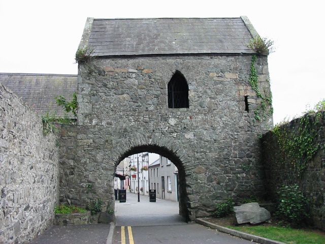
Carlingford (; ga, Cairlinn) is a coastal town and civil parish in northern County Louth, Ireland. For the purposes of local government, the town is part of the Dundalk Municipal District. It is situated on the southern shore of Carlingford Lough with Slieve Foy mountain as a backdrop, sometimes known as Carlingford Mountain. It is the main town on the Cooley Peninsula. Located on the R176/ R173 roads between Greenore and Omeath village, Carlingford is approximately 27 km north east (by road) from Dundalk (15.6 km directly), 90 km north of Dublin and 11 km south of the border with Northern Ireland. Carlingford won the Irish Tidy Towns Competition in 1988. Carlingford still retains its medieval layout noticeable by the narrow lanes and small streets. Tholsel Street is where the last of the medieval walled town's gates can still be seen, called "The Tholsel" which apparently was also used as a gaol, on Tholsel Street itself there is still a 16th-century To ... [...More Info...] [...Related Items...] OR: [Wikipedia] [Google] [Baidu] |
Newry
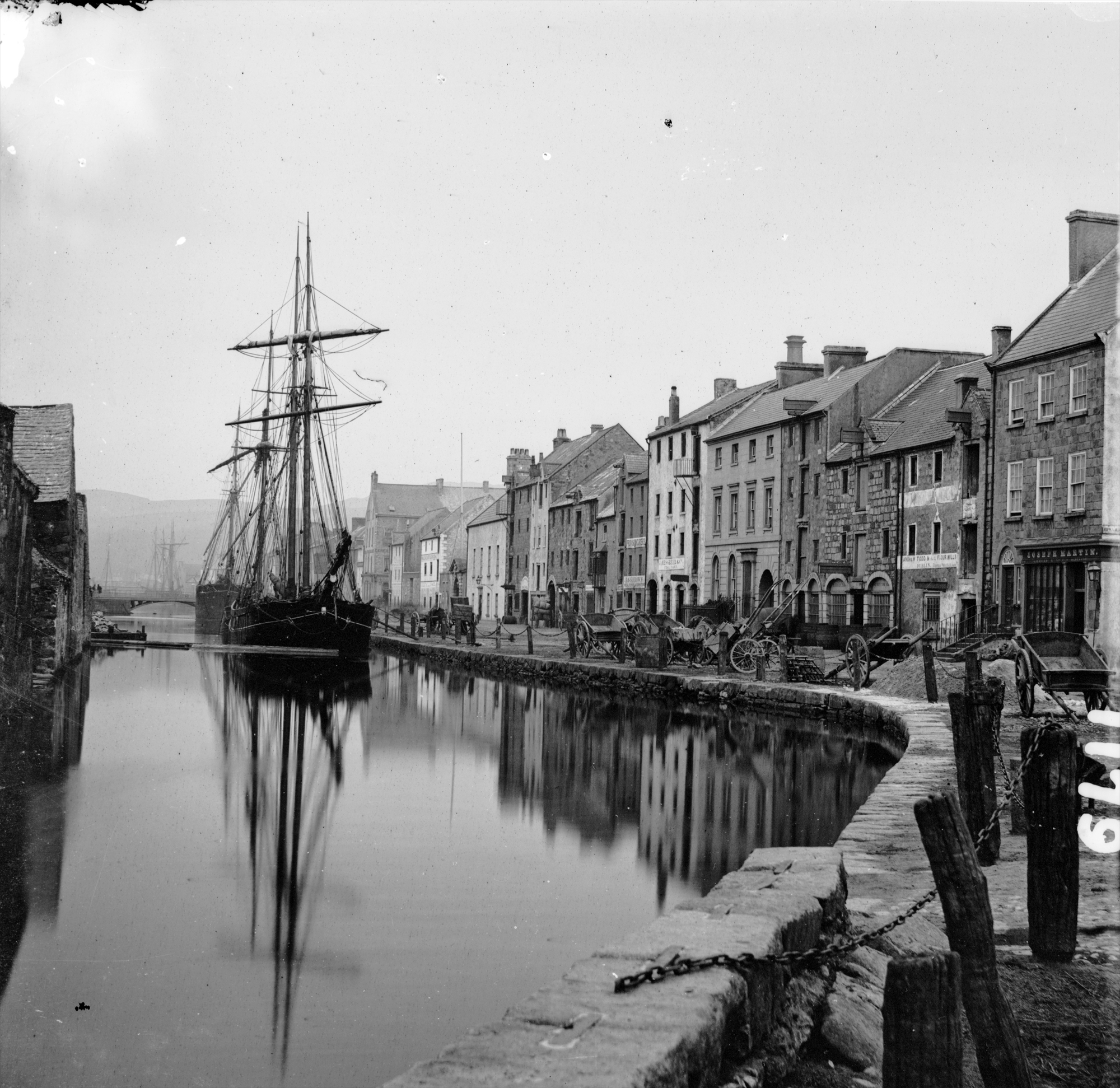
Newry (; ) is a city in Northern Ireland, divided by the Clanrye river in counties Armagh and Down, from Belfast and from Dublin. It had a population of 26,967 in 2011. Newry was founded in 1144 alongside a Cistercian monastery, although there are references to earlier settlements in the area, and is one of Ireland's oldest towns. The city is an entry to the " Gap of the North", from the border with the Republic of Ireland. It grew as a market town and a garrison and became a port in 1742 when it was linked to Lough Neagh by the first summit-level canal built in Ireland or Great Britain. A cathedral city, it is the episcopal seat of the Roman Catholic Diocese of Dromore. In 2002, as part of Queen Elizabeth's Golden Jubilee celebrations, Newry was granted city status along with Lisburn. Name The name Newry is an anglicization of ''An Iúraigh'', an oblique form of ''An Iúrach'', which means "the grove of yew trees". The modern Irish name for Newry is ''An tIúr'' ( ... [...More Info...] [...Related Items...] OR: [Wikipedia] [Google] [Baidu] |
Trim, County Meath
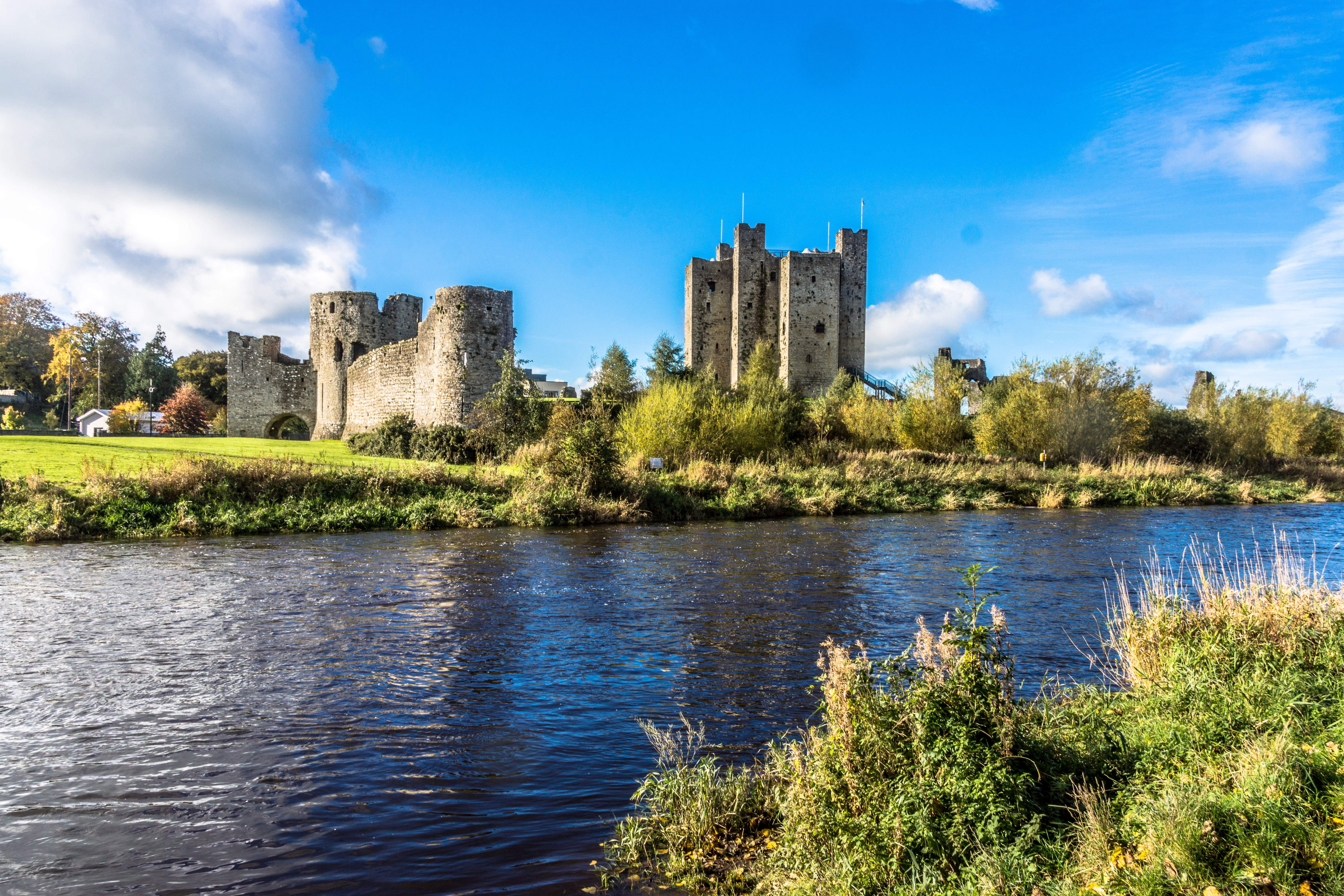
Trim () is a town in County Meath, Ireland. It is situated on the River Boyne and has a population of 9,194. The town is noted for Trim Castle – the largest Norman castle in Ireland. One of the two cathedrals of the United Dioceses of Meath and Kildare — St Patrick's cathedral — is located north of the river. Trim won the Irish Tidy Towns Competition in 1972, 1984, 2014 and 2022, and was the "joint" winner with Ballyconnell in 1974. Trim was historically the county town of Meath, but this title was passed on in 1898 to the larger, neighbouring town of Navan. History Early history At an early date, a monastery was founded at Trim, which lay within the petty kingdom ('' tuath'') of the Cenél Lóegairi. It is traditionally thought to have been founded by St. Patrick and left in the care of its patron saint Lommán, also locally known as Loman, who flourished sometime between the 5th and early 6th centuries.Stalmans and Charles-Edwards, "Meath, saints of (act. ''c''.4 ... [...More Info...] [...Related Items...] OR: [Wikipedia] [Google] [Baidu] |
Richard O'Farrell (Irish Confederate)
Richard O'Farrell was an Irish soldier of the seventeenth century most notable for his service in the Irish Confederate Wars from 1642 to 1651. He rose to the rank of Lieutenant General. Like many other Irish officers in the decades following the Flight of the Earls in 1607, O'Farrell served in the Spanish Army. He was commissioned into an Irish Regiment and developed battle experience while serving under the veteran Owen Roe O'Neill. In 1641, a major rebellion broke out in Ireland, led by northern Catholics such as Sir Phelim O'Neill and Lord Maguire. While continuing to pledge allegiance to Charles I, they launched attacks on Protestant inhabitants. While much of Ulster and Connaught was seized, an attempt to capture Dublin failed. O'Farrell was one of many exiled officers who returned to join the army of the rebels, who established their own government in Kilkenny. He arrived at Wexford in the company of Rosa O'Neill and Henry Roe O'Neill, the wife and daughter of his fo ... [...More Info...] [...Related Items...] OR: [Wikipedia] [Google] [Baidu] |
George Monck
George Monck, 1st Duke of Albemarle JP KG PC (6 December 1608 – 3 January 1670) was an English soldier, who fought on both sides during the Wars of the Three Kingdoms. A prominent military figure under the Commonwealth, his support was crucial to the Restoration of Charles II in 1660, who rewarded him with the title Duke of Albemarle and other senior positions. The younger son of an impoverished Devon landowner, Monck began his military career in 1625 and served in the Eighty Years' War until 1638, when he returned to England. Posted to Ireland as part of the army sent to suppress the Irish Rebellion of 1641, he quickly gained a reputation for efficiency and ruthlessness. After Charles I agreed to a truce with the Catholic Confederacy in September 1643, he was captured fighting for the Royalists at Nantwich in January 1644 and remained a prisoner for the next two years. Released in 1647, he was named Parliamentarian commander in Eastern Ulster, fought in Scotland under O ... [...More Info...] [...Related Items...] OR: [Wikipedia] [Google] [Baidu] |
Dundalk
Dundalk ( ; ga, Dún Dealgan ), meaning "the fort of Dealgan", is the county town (the administrative centre) of County Louth, Ireland. The town is on the Castletown River, which flows into Dundalk Bay on the east coast of Ireland. It is halfway between Dublin and Belfast, close to the border with Northern Ireland. It is the eighth largest urban area in Ireland, with a population of 39,004 as of the 2016 census. Having been inhabited since the Neolithic period, Dundalk was established as a Norman stronghold in the 12th century following the Norman invasion of Ireland, and became the northernmost outpost of The Pale in the Late Middle Ages. The town came to be nicknamed the "Gap of the North" where the northernmost point of the province of Leinster meets the province of Ulster. The modern street layout dates from the early 18th century and owes its form to James Hamilton (later 1st Earl of Clanbrassil). The legends of the mythical warrior hero Cú Chulainn are set in the d ... [...More Info...] [...Related Items...] OR: [Wikipedia] [Google] [Baidu] |
Drogheda
Drogheda ( , ; , meaning "bridge at the ford") is an industrial and port town in County Louth on the east coast of Ireland, north of Dublin. It is located on the Dublin–Belfast corridor on the east coast of Ireland, mostly in County Louth but with the south fringes of the town in County Meath, north of Dublin. Drogheda has a population of approximately 41,000 inhabitants (2016), making it the List of settlements on the island of Ireland by population, eleventh largest settlement by population in all of Ireland, and the largest town in the Republic of Ireland by both population and area. It is the last bridging point on the River Boyne before it enters the Irish Sea. The UNESCO World Heritage Site of Newgrange is located west of the town. Drogheda was founded as two separately administered towns in two different territories: Drogheda-in-Kingdom of Meath, Meath (i.e. the Lordship of Meath, Lordship and Liberty of Meath, from which a charter was granted in 1194) and Drogheda ... [...More Info...] [...Related Items...] OR: [Wikipedia] [Google] [Baidu] |
Naas
Naas ( ; ga, Nás na Ríogh or ) is the county town of County Kildare in Ireland. In 2016, it had a population of 21,393, making it the second largest town in County Kildare after Newbridge. History The name of Naas has been recorded in three forms in Irish: , translating as 'Place of Assembly of the Kings'; , translating to 'the Place of Assembly'; and , translating to 'Place of assembly of the Leinster Men'. In the Middle Ages, Naas became a walled market town and was occasionally raided by the O'Byrne and O'Toole clans from the nearby area which became County Wicklow. Naas features on the 1598 map by Abraham Ortelius as ''Nosse''. A mayor and council were selected by local merchants and landowners. Naas became known as the "county town" of County Kildare because of its use as a place for trading, public meetings, local administration including law courts, racecourses and the army's Devoy Barracks (closed 1998). In the Middle Ages, before it settled permanently in Dubli ... [...More Info...] [...Related Items...] OR: [Wikipedia] [Google] [Baidu] |
Finglas
Finglas (; ) is a northwestern outer suburb of Dublin, Ireland. It lies close to Junction 5 of the M50 motorway, and the N2 road. Nearby suburbs include Glasnevin and Ballymun; Dublin Airport is to the north. Finglas lies mainly in the postal district of Dublin 11. Finglas is the core of a civil parish of the same name in the barony of Castleknock. Name The name Finglas ( ga, Fionnghlas), meaning ''clear streamlet'', is derived from the Finglas River, which passed through the historic settlement. Geography The centre of Finglas lies on a rise overlooking the valley of the River Tolka, at an altitude of . The Tolka runs through western and southern Finglas, and forms part of the boundary between Finglas and Glasnevin. Flowing from the north is the stream, the Finglas River, for which the area is named, forming in turn from branches from the townlands of Grange and Kildonan to the north. After meeting a tributary, the St. Margaret's Road Stream, the Finglas flows through ... [...More Info...] [...Related Items...] OR: [Wikipedia] [Google] [Baidu] |
Staging Post
A stage station or relay station, also known as a staging post, a posting station, or a stage stop, is a place where exhausted horses could be replaced by fresh animals, since a long journey was much faster without delays when horses needed rest. Stage is the space between the places known as stations or stops—known to Europeans as posts or relays. Organised long-distance land travel became known as staging or posting. Stagecoaches, post chaises, private vehicles, individual riders and the like followed the already long-established system for messengers, couriers and letter-carriers. Through metonymy the name stage also came to be used for a stagecoach alone. Posting and staging Purpose Until well into the 19th century an overland traveller anxious to reach a destination as fast as possible depended on animals. Systems of arranging a supply of fresh horses to expedite travel along a particular route had been in use at least as far back as the ancient Romans when they were u ... [...More Info...] [...Related Items...] OR: [Wikipedia] [Google] [Baidu] |


.jpg)