|
Shepperton Road
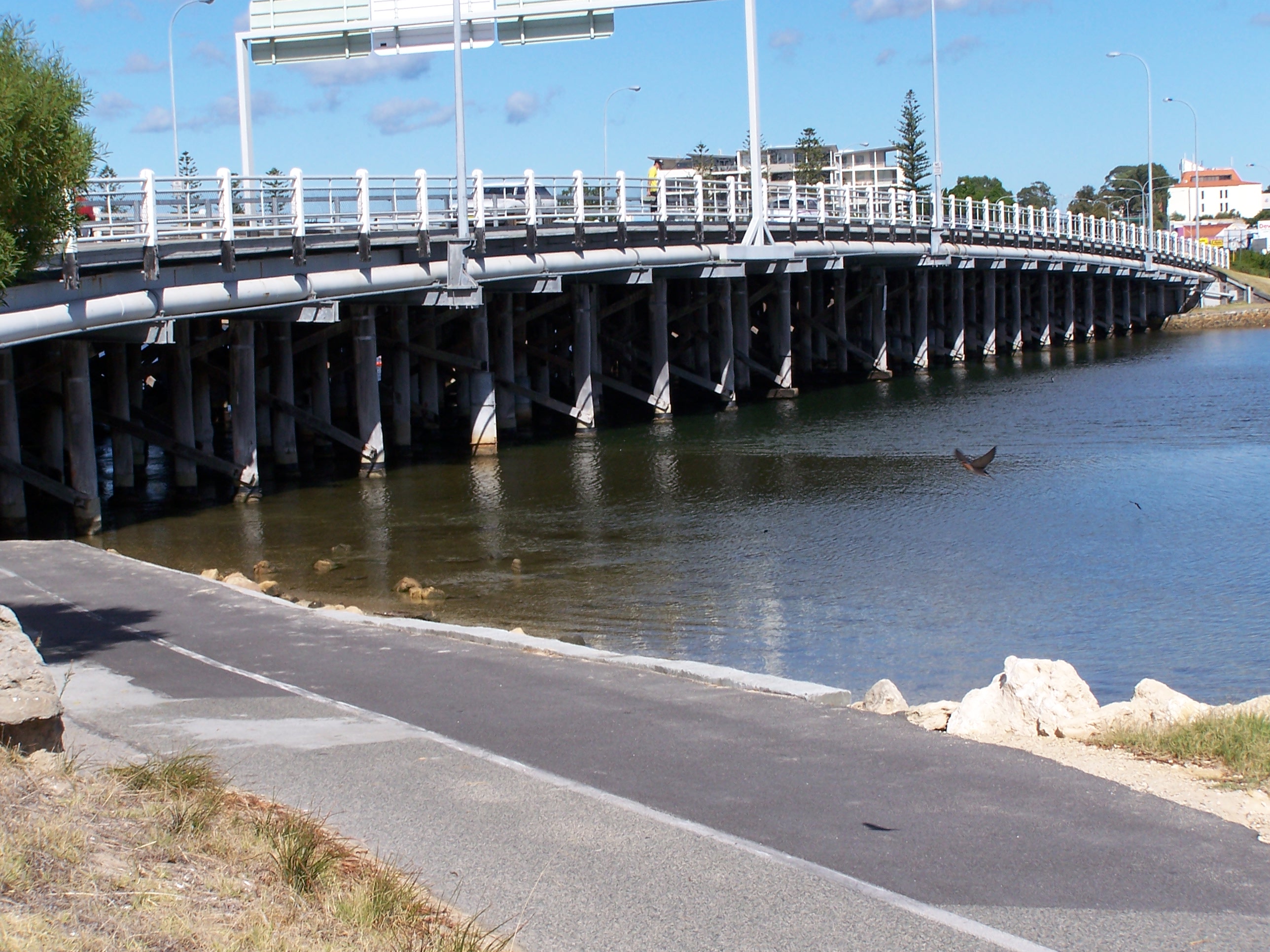
Shepperton Road is a single carriageway four lane road in Perth, Western Australia. Counterintuitively, the road provides a higher-capacity alternative for the northernmost section of Albany Highway due to the latter forming the high street of the busy inner south-eastern suburb of Victoria Park Victoria Park may refer to: Places Australia * Victoria Park Nature Reserve, a protected area in Northern Rivers region, New South Wales * Victoria Park, Adelaide, a park and racecourse * Victoria Park, Brisbane, a public park and former golf .... The road therefore forms the northernmost section of State Route 30, with the bypassed section of Albany Highway unsigned as a result. History Shepperton Road was noted as running parallel to the then-named Albany Road between Harvey Street, from The Causeway, and Somerset Street, further along. In 1937, a road from Asquith Street to Albany Road was constructed, to eventually link in with Shepperton Road. In the same year, the ... [...More Info...] [...Related Items...] OR: [Wikipedia] [Google] [Baidu] |
List Of Road Routes In Western Australia
Road routes in Western Australia assist drivers navigating roads in urban, rural, and scenic areas of the state. The route numbering system is composed of National Highways, National Routes, State Routes, and Tourist Drives. Each route has a unique number, except for National Highway 1 and National Route 1, which mark Highway 1 in Western Australia. Routes are denoted on directional signs and roadside poles by appropriately numbered markers, the design of which varies according to route type. National Highways and National Routes are designated by the Federal Government along roads of national importance, whilst State Routes and Tourist Drives are designated by the State Government. Highways and some arterial roads are controlled and maintained by Main Roads Western Australia, although National Highways are federally funded. The remaining roads are generally the responsibility of local governments, though there are also some private roads and Department of Environment a ... [...More Info...] [...Related Items...] OR: [Wikipedia] [Google] [Baidu] |
The Causeway
The Causeway is an arterial traffic crossing in Perth, Western Australia, linking the inner-city suburbs of East Perth and Victoria Park. It is carried over the Swan River at the eastern end of Perth Water by two bridges on either side of Heirisson Island. The current Causeway is the third structure to have been built across the river at this point. Originally the site of mudflats which restricted river navigation, the Colony Government constructed a causeway and bridge across the site. The project was first planned in 1834 and opened in 1843. When floods in 1862 almost destroyed it, the structure was rebuilt using convict labour, and raised to better withstand future floods. Governor John Hampton officially opened the new Causeway on 12 November 1867. Over the following decades, the three bridges making up this second Causeway were widened several times, and they were eventually replaced in 1952. The current Causeway bridges were designed by Godfrey, and built between 194 ... [...More Info...] [...Related Items...] OR: [Wikipedia] [Google] [Baidu] |
Victoria Park, Western Australia
Victoria Park is an inner south eastern suburb of Perth, Western Australia. Its local government area is the Town of Victoria Park. Victoria Park is the eastern gateway to Perth's central business district (CBD), being the intersection of the three original eastern arterial roads: Albany Highway, Canning Highway, Great Eastern Highway, and the Causeway bridge. The Causeway connects Victoria Park to the city, located to the northwest. History The suburb of Victoria Park derives its name from "Victoria Park Estate", a development that took place there in the 1890s. It is believed the name was given to the estate because Queen Victoria was still on the throne, although it may be connected with Victoria Park in Melbourne. The area was originally the largest portion of a grant of to John Butler in 1831. Progress and development was initially very slow, but a few houses were built around coach stops on the Albany Road, initially constructed from hand-sawn wooden logs. The road w ... [...More Info...] [...Related Items...] OR: [Wikipedia] [Google] [Baidu] |
Great Eastern Highway
Great Eastern Highway is a road that links the Western Australian capital of Perth with the city of Kalgoorlie. A key route for road vehicles accessing the eastern Wheatbelt and the Goldfields, it is the western portion of the main road link between Perth and the eastern states of Australia. The highway forms the majority of National Highway 94, although the alignment through the Perth suburbs of Guildford and Midland, and the eastern section between Coolgardie and Kalgoorlie are not included. Various segments form parts of other road routes, including National Route 1, Alternative National Route 94, and State Route 51. There are numerous intersections in Perth with other highways and main roads, including Canning, Albany, Tonkin and Roe Highways, and Graham Farmer Freeway. There are also two rural highways that spur off Great Eastern Highway. Great Southern Highway begins near Perth's eastern metropolitan boundary, linking towns such as York, Brookt ... [...More Info...] [...Related Items...] OR: [Wikipedia] [Google] [Baidu] |
Canning Highway
Canning Highway is an arterial road in Perth, Western Australia, linking the inner Perth suburb of Victoria Park in the north-east, to the port city of Fremantle in the south-west. The road is mostly a four-lane divided carriageway, with a general speed limit of . It is located immediately south of the Swan River and runs between The Causeway in Victoria Park and Queen Victoria Street in Fremantle. The Canning Highway was the inspiration for the AC/DC song "Highway to Hell" as it had a reputation for accidents and led to many of singer Bon Scott's favourite pubs and hotels, including the Raffles Hotel. History Canning Highway is named after the river which it crosses, which was in turn named after George Canning (1770–1827), an eminent British statesman who for a brief period was Prime Minister of Great Britain. The modern highway was formally commenced in the 1920s, with major work commencing in 1927 to upgrade an section between Suburban Street, South Perth (now Mill ... [...More Info...] [...Related Items...] OR: [Wikipedia] [Google] [Baidu] |
Welshpool Road
Welshpool Road is a major arterial road running through the metropolitan area of Perth, Western Australia. Although the road is now split in two, having had its western and eastern sections disconnected due to the extension of Roe Highway, it remains Welshpool's second most important road (after Orrong Road), and the highest quality access road for the Darling Scarp. Welshpool Road East is part of State Route 8, while the entire road was previously allocated State Route 35. Route description Welshpool Road Welshpool Road west of Roe Highway is long, and unlike Welshpool Road East, did not have a West suffix added after the road's disconnection. The road is typical of those major in the Welshpool Area; although of a reasonable quality, being a 4-lane single or dual carriageway it contains only a handful of traffic lights, is choked by traffic in peak hour, has industrial business dotting the road, and has many minor roads which have no form of control, give wa ... [...More Info...] [...Related Items...] OR: [Wikipedia] [Google] [Baidu] |
Albany Highway
Albany Highway links Western Australia's capital city Perth with its oldest settlement, Albany, on the state's south coast. The highway travels through the southern Wheatbelt and Great Southern regions, and is designated State Route 30 for most of its length. Outside of Perth the highway is predominately a sealed, single carriageway with regular overtaking lanes in some undulating areas. Albany Highway commences at The Causeway, a river crossing that connects to Perth's central business district. The highway heads south-east through Perth's metropolitan region, bypassed in part by Shepperton Road and Kenwick Link, and continues south-eastwards through to Albany. It intersects several major roads in Perth, including the Leach, Tonkin, Brookton, and South Western highways. The rural section of Albany Highway connects to important regional roads at the few towns and roadhouses along the route, including Coalfields Highway at Arthur River, Great Southern Highway at ... [...More Info...] [...Related Items...] OR: [Wikipedia] [Google] [Baidu] |
Perth
Perth is the capital and largest city of the Australian state of Western Australia. It is the fourth most populous city in Australia and Oceania, with a population of 2.1 million (80% of the state) living in Greater Perth in 2020. Perth is part of the South West Land Division of Western Australia, with most of the metropolitan area on the Swan Coastal Plain between the Indian Ocean and the Darling Scarp. The city has expanded outward from the original British settlements on the Swan River, upon which the city's central business district and port of Fremantle are situated. Perth is located on the traditional lands of the Whadjuk Noongar people, where Aboriginal Australians have lived for at least 45,000 years. Captain James Stirling founded Perth in 1829 as the administrative centre of the Swan River Colony. It was named after the city of Perth in Scotland, due to the influence of Stirling's patron Sir George Murray, who had connections with the area. It gained city statu ... [...More Info...] [...Related Items...] OR: [Wikipedia] [Google] [Baidu] |
High Street
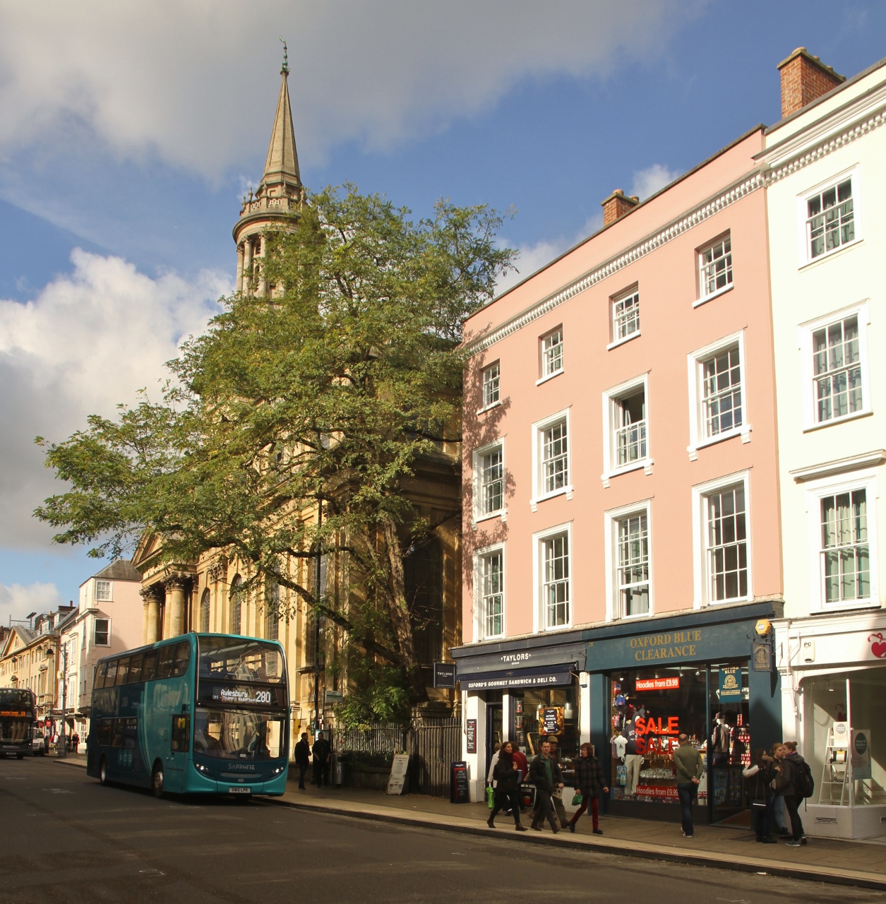
High Street is a common street name for the primary business street of a city, town, or village, especially in the United Kingdom and Commonwealth. It implies that it is the focal point for business, especially shopping. It is also a metonym for the retail sector. With the rapid increase in consumer expenditure the number of High Streets in England grew from the 17th century and reached a peak in Victorian Britain where, drawn to growing towns and cities spurred on by the Industrial Revolution, the rate of urbanisation was unprecedented. Since the latter half of the 20th century, the prosperity of High Streets has been in decline due to the growth of out-of-town shopping centres, and, since the early 21st century, the growth of online retailing, forcing many shop closures and prompting the UK government to consider initiatives to reinvigorate and preserve the High Street. High Street is the most common street name in the UK, which according to a 2009 statistical compilation ... [...More Info...] [...Related Items...] OR: [Wikipedia] [Google] [Baidu] |


