|
Shailer Park
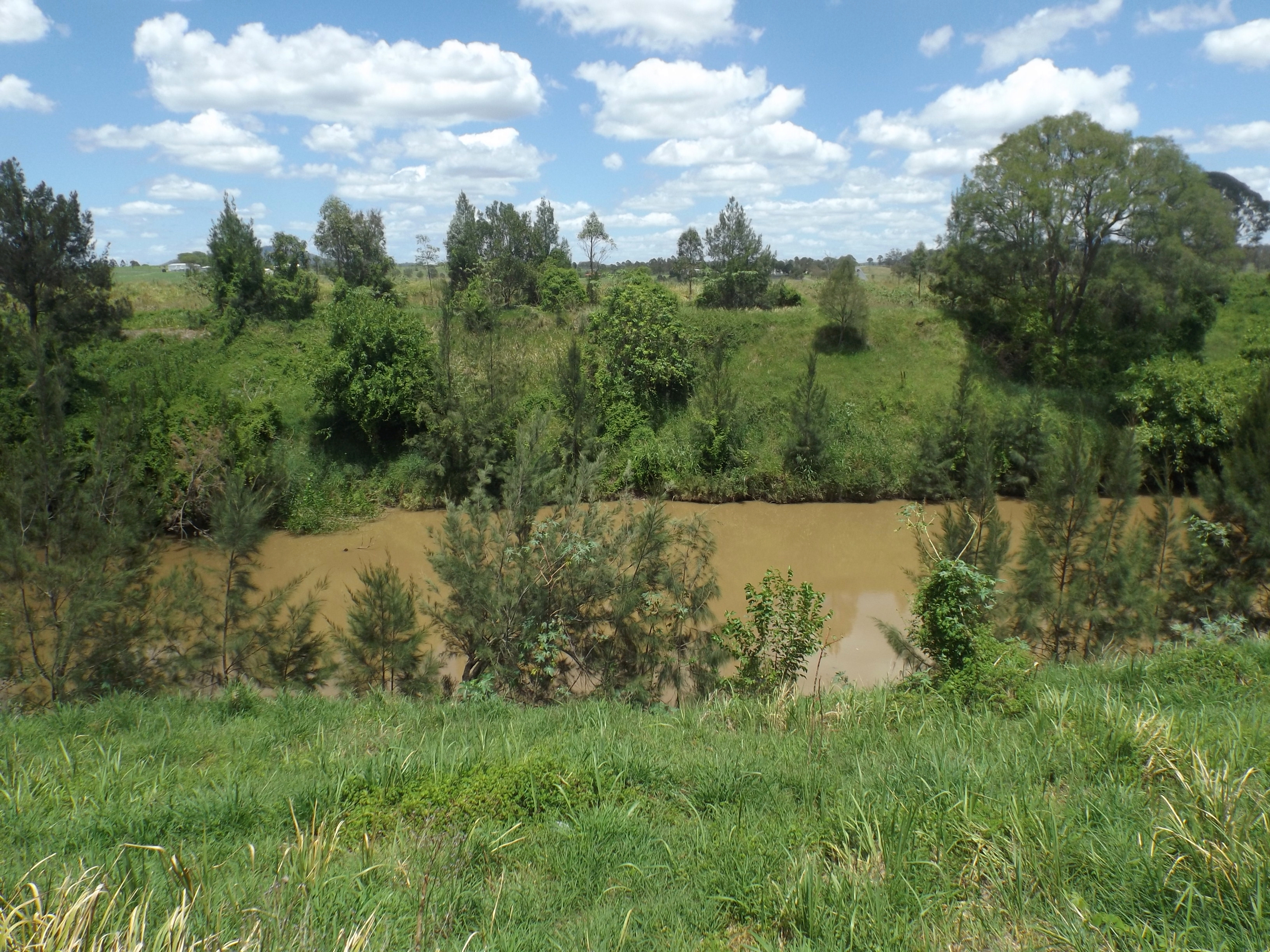
Shailer Park is a suburb in the City of Logan, Queensland, Australia. In the , Shailer Park had a population of 11,759 people. Geography Shailer Park is a suburb of mainly middle class residential areas, and sits on hilly terrain between the Pacific Motorway and extensive forest and bushland to the north. The north-eastern part of the suburb is sometimes known as Kimberley Park, after a residential estate located in the area. Shailer Park is a centre for employment, entertainment, and leisure in southeast Queensland. The Logan Hyperdome, a major regional shopping centre, is located in Shailer Park, and other commercial and community facilities have developed nearby. Largely because of this, the Queensland Government listed the suburb as a major activity centre in the South East Queensland Regional Plan 2005–2026. The Loganholme bus station, a major bus interchange is located at the Logan Hyperdome. History The suburb is named after Francis Frederick Rising Shailer and his ... [...More Info...] [...Related Items...] OR: [Wikipedia] [Google] [Baidu] |
AEST
Australia uses three main time zones: Australian Western Standard Time (AWST; UTC+08:00), Australian Central Standard Time (ACST; UTC+09:30), and Australian Eastern Standard Time (AEST; UTC+10:00). Time is regulated by the individual state governments, some of which observe daylight saving time (DST). Australia's external territories observe different time zones. Standard time was introduced in the 1890s when all of the Australian colonies adopted it. Before the switch to standard time zones, each local city or town was free to determine its local time, called local mean time. Now, Western Australia uses Western Standard Time; South Australia and the Northern Territory use Central Standard Time; while New South Wales, Queensland, Tasmania, Victoria (Australia), Victoria, Jervis Bay Territory, and the Australian Capital Territory use Eastern Standard Time. Daylight saving time (+1 hour) is used in jurisdictions in the south and south-east: South Australia, New South Wales, Vict ... [...More Info...] [...Related Items...] OR: [Wikipedia] [Google] [Baidu] |
Logan Hyperdome
Logan Hyperdome Shopping Centre in Shailer Park, Queensland, is the largest shopping centre in Logan City and one of the largest single storey shopping centres in Australia. The Queensland Police Service operates a police beat shopfront in the centre. Logan City Council has a library at the far northern end of the Hyperdome and this is a separate, stand alone building. The Logan Hyperdome contains a food court with many outlets. Event Cinemas operate a cinema complex within the centre. History Built after the closure and demolition of Wild Waters water park, the Hyperdome first opened in August 1989. Work at the site began in September 1988 and it was officially opened in July 1989. It received upgrades in May 1990, October 1997, December 1998, March 2005 and August 2015. The October 1997 upgrade was the largest upgrade when BI-LO Mega Frrresh (closed 30 June 2017) was moved from its original location where the now-defunct Crazy Clark's is located and Big W was added a ... [...More Info...] [...Related Items...] OR: [Wikipedia] [Google] [Baidu] |
Suburbs Of Logan City
A suburb (more broadly suburban area) is an area within a metropolitan area, which may include commercial and mixed-use, that is primarily a residential area. A suburb can exist either as part of a larger city/urban area or as a separate political entity. The name describes an area which is not as densely populated as an inner city, yet more densely populated than a rural area in the countryside. In many metropolitan areas, suburbs exist as separate residential communities within commuting distance of a city (cf "bedroom suburb".) Suburbs can have their own political or legal jurisdiction, especially in the United States, but this is not always the case, especially in the United Kingdom, where most suburbs are located within the administrative boundaries of cities. In most English-speaking countries, suburban areas are defined in contrast to central or inner city areas, but in Australian English and South African English, ''suburb'' has become largely synonymous with what i ... [...More Info...] [...Related Items...] OR: [Wikipedia] [Google] [Baidu] |
Special Education
Special education (known as special-needs education, aided education, exceptional education, alternative provision, exceptional student education, special ed., SDC, or SPED) is the practice of educating students in a way that accommodates their individual differences, Disability, disabilities, and special needs. This involves the individually planned and systematically monitored arrangement of teaching procedures, adapted equipment and materials, and accessible settings. These interventions are designed to help individuals with special needs achieve a higher level of personal Self-sustainability, self-sufficiency and success in school and in their community, which may not be available if the student were only given access to a Traditional education, typical classroom education. Special education aims to provide accommodated education for disabled students such as learning disability, learning disabilities, learning difficulties (such as dyslexia), communication disorders, emo ... [...More Info...] [...Related Items...] OR: [Wikipedia] [Google] [Baidu] |
Australian Curriculum, Assessment And Reporting Authority
The Australian Curriculum, Assessment and Reporting Authority (ACARA) is the independent statutory authority responsible for the development of a national curriculum, a national assessment program, and a national data collection and reporting program that supports learning for Australian students. ACARA's work is carried out in collaboration with a wide range of stakeholders, including teachers, principals, governments, State and Territory education authorities, professional education associations, community groups and the general public. It was established in 2008 by an Act of the Australian Federal Parliament. The authority is also responsible for the My School website and NAPLAN The National Assessment Program – Literacy and Numeracy (NAPLAN) is a series of tests focused on basic skills that are administered to Australian students in year 3, 5, 7 and 9. These standardised tests assess students' reading, writing, l ... testing. Progress of the development of each ... [...More Info...] [...Related Items...] OR: [Wikipedia] [Google] [Baidu] |
Queensland Government
The Queensland Government is the democratic administrative authority of the Australian state of Queensland. The Government of Queensland, a parliamentary constitutional monarchy was formed in 1859 as prescribed in its Constitution, as amended from time to time. Since the Federation of Australia in 1901, Queensland has been a State of Australia, with the Constitution of Australia regulating the relationships between all state and territory governments and the Australian Government. Under the Australian Constitution, all states and territories (including Queensland) ceded powers relating to certain matters to the federal government. The government is influenced by the Westminster system and Australia's federal system of government. The Governor of Queensland, as the representative of Charles III, King of Australia, holds nominal executive power, although in practice only performs ceremonial duties. In practice executive power lies with the Premier and Cabinet. The Cabinet of ... [...More Info...] [...Related Items...] OR: [Wikipedia] [Google] [Baidu] |
State Library Of Queensland
The State Library of Queensland is the main reference and research library provided to the people of the State of Queensland, Australia, by the state government. Its legislative basis is provided by the Queensland Libraries Act 1988. It contains a significant portion of Queensland's documentary heritage, major reference and research collections, and is an advocate of and partner with public libraries across Queensland. The library is at Kurilpa Point, within the Queensland Cultural Centre on the Brisbane River at South Bank. History The Brisbane Public Library was established by the government of the Colony of Queensland in 1896, and was renamed the Public Library of Queensland in 1898. The library was opened to the public in 1902. In 1934, the Oxley Memorial Library (now the John Oxley Library), named for the explorer John Oxley, opened as a centre for research and study relating specifically to Queensland. The Libraries Act of 1943 established the Library Board of Queen ... [...More Info...] [...Related Items...] OR: [Wikipedia] [Google] [Baidu] |
Queensland Family History Society
The Queensland Family History Society (QFHS) is an incorporated association formed in Brisbane, Queensland, Australia. History The society was established in 1979 as a non-profit, non-sectarian, non-political organisation. They aim to promote the study of family history local history, genealogy, and heraldry, and encourage the collection and preservation of records relating to the history of Queensland families. At the end of 2022, the society relocated from 58 Bellevue Avenue, Gaythorne Gaythorne is a suburb in the City of Brisbane, Queensland, Australia. In the , Gaythorne had a population of 3,023 people. Geography Gaythorne is located seven kilometres north-west of the Brisbane central business district. It is bounded to ... () to its new QFHS Family History Research Centre at 46 Delaware Street, Chermside (). References External links * Non-profit organisations based in Queensland Historical societies of Australia Libraries in Brisbane Family hist ... [...More Info...] [...Related Items...] OR: [Wikipedia] [Google] [Baidu] |
Logan City Council
Logan City is a local government area situated within the south of the Brisbane metropolitan area in South East Queensland, Australia. Situated between the City of Brisbane to the north and the City of Gold Coast to the south, the City also borders the Scenic Rim Region, the City of Ipswich, and Redland City LGAs. Logan City is divided into 70 suburbs and 12 divisions; a councillor is elected to each of the latter. The area had a population of 326,615 in June 2018. Gaining significant area in 2008 from the amalgamation of parts of the Albert and Beaudesert Shires, Logan City extends north to Priestdale, south to Mundoolun near the Albert River, east to Carbrook at the Logan River, and west to Lyons. Logan City is located across parts of the sub-basin of Oxley Creek, and the Logan and Albert Rivers. The Daisy Hill Koala Centre serves as an example of Logan's prominent bushland, reminiscent of Karawatha Forest, and the Tamborine and Venman Bushland National Parks, that bo ... [...More Info...] [...Related Items...] OR: [Wikipedia] [Google] [Baidu] |
Logan River
The Logan River ( Yugambeh: ''Dugulumba'') is a perennial river located in the Scenic Rim, Logan and Gold Coast local government areas of the South East region of Queensland, Australia. The -long river is one of the dominant waterways in South East Queensland that drains the southern ranges of the Scenic Rim and empties into Moreton Bay after navigating the City of Logan, a major suburban centre located south of Brisbane. The catchment is dominated by urban and agricultural land use. Near the river mouth are mangrove forests and a number of aquaculture farms. Course and features The river rises below Mount Ernest on the southern slopes of the Scenic Rim, part of the Great Dividing Range and forms in the Mount Barney National Park, near the QueenslandNew South Wales border, below Mount Lindesay. The river flows generally north by northeast, joined by eleven minor tributaries, before heading east and eventually emptying into Moreton Bay. Its principal tributaries are the Alb ... [...More Info...] [...Related Items...] OR: [Wikipedia] [Google] [Baidu] |
Tingalpa Divisional Board
The Shire of Tingalpa was a local government area in the south-eastern suburbs of Brisbane, Queensland, Australia. The shire, administered from Mount Cotton, covered an area of , and existed as a local government entity from 1879 until 1949. History On 11 November 1879, the Tingalpa Division was created as one of 74 divisions within Queensland under the ''Divisional Boards Act 1879'' with a population of 1,490. However, the residents of Cleveland sought to be independent of the division and on 29 May 1885, Cleveland Division was separated from Tingalpa Division. With the passage of the ''Local Authorities Act 1902'', the Tingalpa Division became the Shire of Tingalpa on 31 March 1903. On 1 October 1925, the shire lost areas west of the Tingalpa Creek to the new City of Brisbane. Amalgamations in 1948 On 9 December 1948, as part of a major reorganisation of local government in South East Queensland, an Order in Council replacing ten former local government areas between the ... [...More Info...] [...Related Items...] OR: [Wikipedia] [Google] [Baidu] |


